Easy ride on a lazy Saturday. On the drive up, a tour bus ran a red light at Geary and Park Presidio in San Francisco, forcing me to slam on my brakes. My bike slid inside the car and somehow the speed sensor cable for my cyclo-computer broke. Sigh...
 Map of today's ride. 250 track points (blue diamonds) laid by the GPS unit. Some of the positional errors are quite significant. I wonder what happened.
 TOPO!'s elevation profile.
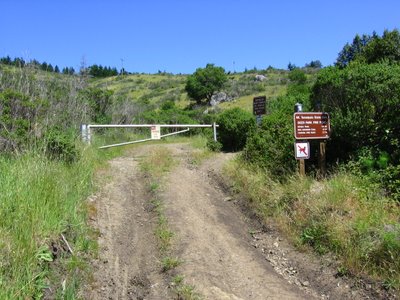 Elevation 110 ft (33.5 m). Parked at Muir Beach parking lot (sea level) and cycled up a couple of miles to the Deer Park Trailhead just beside Muir Woods parking lot.
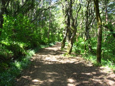 Deer Park Fire Road is generally steeper (but wider) than Coast View Trail, which makes sense since the latter begins 340 ft (103.6 m) higher.
 Deer Park Fire Road is also shadier, which is a good thing today since the forecast predicted a high of 53 F (11.7 C) and it turned out to be 68 F (20 C). Thanks, weather.com. No, really.
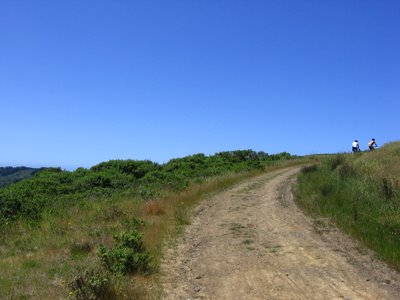 The trail was crowded (by my standards).
 Wider view.
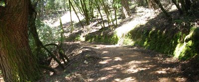 Glory be to God for dappled things...
 The trail is very pretty.
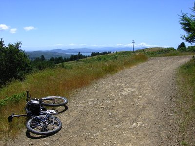 Approaching the junction of Deer Park Fire Road and Coast View Trail. San Francisco can be seen in the distance.
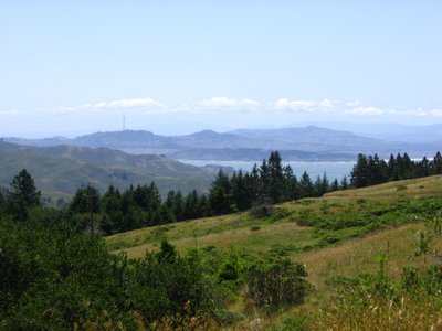 Zooming in.
 Elevation 1262 ft (384.8 m). Junction of Deer Park Trail and Coast View Trail. (Can you spot Mount Diablo? Hint: it's to the far left, just beside the trees.)
 Wider view.
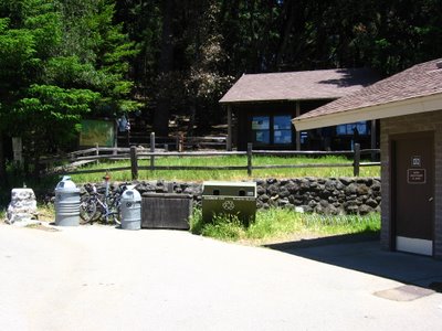 Elevation 1500 ft (457.3 m). Pantoll Ranger Station and campground.
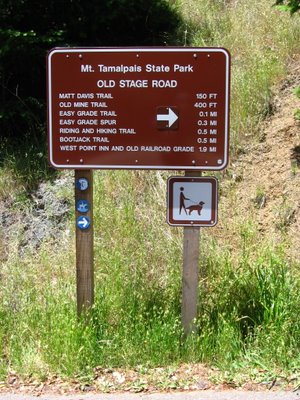 Old Stage Road. A very gentle 280 ft (85.4 m) climb to West Point Inn.
 A picture of Old Stage Road from a previous ride. (I was too busy chatting to stop and take pictures along this stretch this time.)
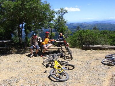 Elevation 1780 ft (542.7 m). West Point Inn. Struck up a conversation with Ken and his 2 riding buddies at Pantoll Station (we had the same map) and rode up Old Stage Road together. :-) Picture with me in it.
 Ken and his buddies took Old Railroad Grade downhill to the Panoramic Highway, while I made my way to the summit.
 Closer view.
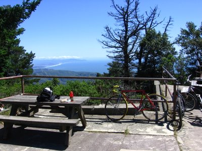 Elevation 2340 ft (713.4 m). Visitor Center of East Peak, about the highest one can legally go on a bicycle.
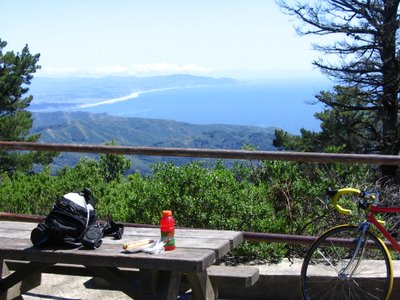 Lunch. It's about 9.37 miles (15 km) from Muir Beach parking lot to this point.
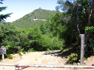 Eldridge Grade Trailhead. The structure is the East Peak Garner Lookout (elevation 2572 ft / 784.1 m).
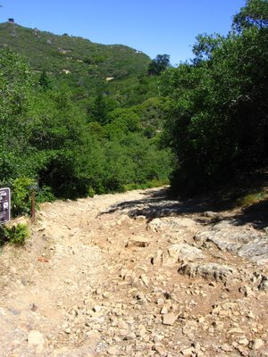 It's steeper and rockier than it looks.
 Elevation 2300 ft (701.2 m). Descending a part of East Ridgecrest Boulevard to get to Rock Springs - Lagunitas Fire Rd.
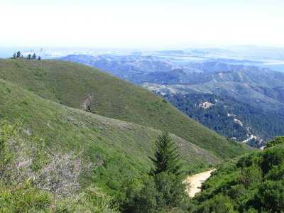 A portion of Old Railroad Grade can be seen below.
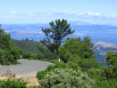 On the left is the Richmond-San Rafael Bridge. In the center, partly hidden by the tree, is Mount Diablo (1), (2). Riding this road during the weekend is dangerous: 2 out of 5 vehicles were SUVs driven by soccer moms / dads, with one hand on the steering wheel and the other on a cell phone.
The following pictures were taken from left to right:
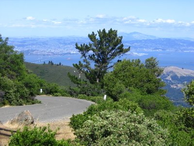
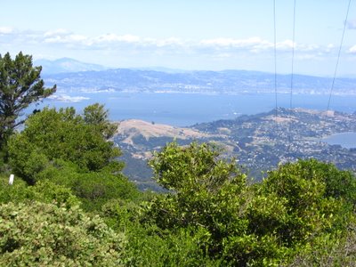 Tiburon on the right.
 Angel Island (it looks like part of Tiburon but isn't).
 Richardson Bay Bridge.
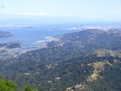 Foreground: Panoramic Highway meandering towards Shoreline Highway. In the distance, San Francisco business district.
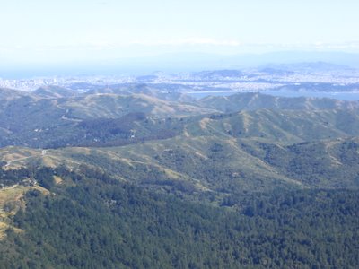
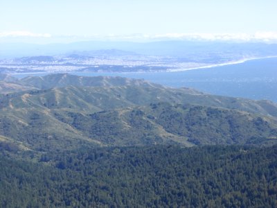 Marin Headlands.
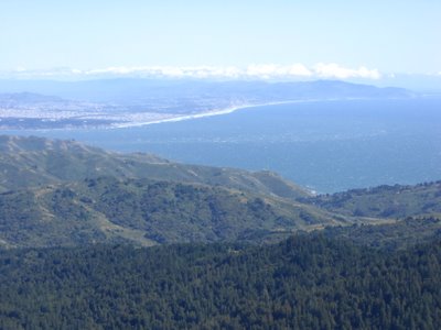 On the right, Muir Beach. Across the bay is Ocean Beach, San Francisco. Shoreline Highway descends along the valley to Muir Beach, where it becomes Highway 1.
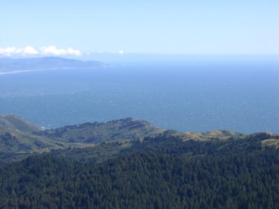 Center: Muir Beach Overlook. It's a 500 ft (152.4 m) climb up from Muir Beach parking lot.
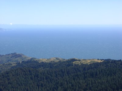
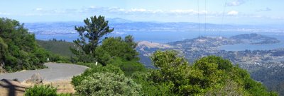 Composite shot. (Yes, Blogger blows for panoramic pictures. That's why I posted the pictures separately.)
 2nd composite shot.
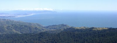 3rd composite shot.
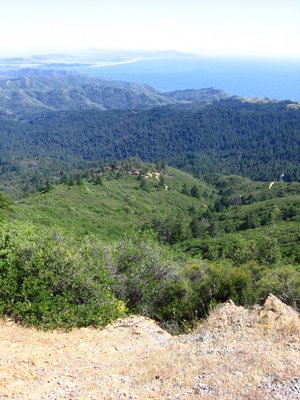 Elevation 2500 ft (762.2 m). Looking down at West Point Inn (1780 ft / 542.7 m).
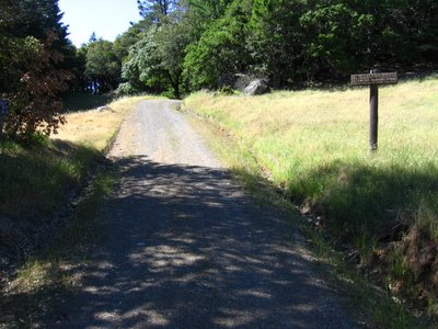 Rock Springs - Lagunitas Fire Road. It wasn't too clearly marked from the road. Look out for a gated, gravel parking lot instead. Opposite it is the trailhead.
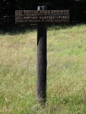 Trail sign (about 165 ft / 50 m) from the road.
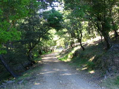 Rock Springs - Lagunitas Fire Road is mainly gravel, but still is pretty.
 Turning left onto Laura Dell Road.
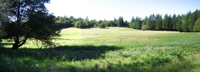 Meadow beside Laura Dell Rd (before Potrero Meadows).
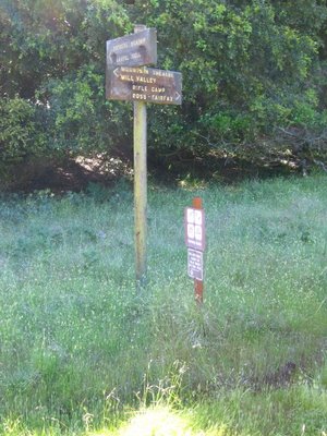 Other (non-bike legal) trails.
 Laura Dell Road is also generally shaded.
 Barth's Retreat.
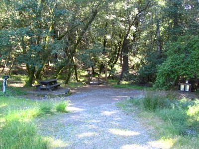 Barth's Retreat. The trails on the other side of the bridge are not legal for bicycles. This is the same stream that flows through Laurel Dell (but further down).
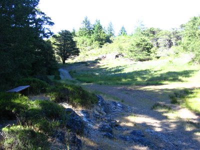 A quaint red bench in this little glade.
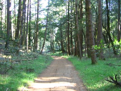 This part is fun. Not only is it a slight downhill, but the pine / fir needles on the trail muffle the crunch of gravel under your tires. As a result, all you hear is the wind roaring in your ears as you haul ass.
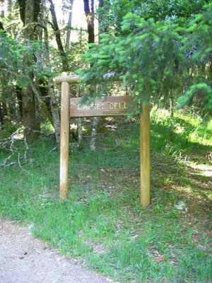 Elevation 1660 ft (506.1 m). The sound of children's laughter announce that I have reached Laura Dell. Time to hit the brakes. A crystal clear stream flowing through this dell provides endless hours of amusement for kids.
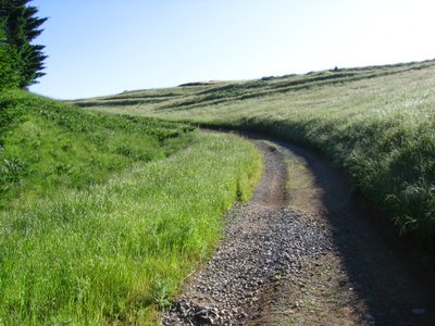 After a stream crossing and a 0.7 mile climb, Laura Dell Road intersects West Ridgecrest Boulevard.
 Elevation 1878 ft (572.6 m). West Ridgecrest Boulevard.
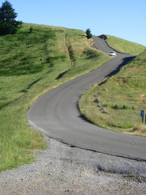 Closer look.
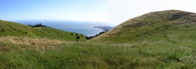 Across the road and looking west. The hiking path on the right leads to the top of the knoll (elevation 1940 ft / 591.5 m).
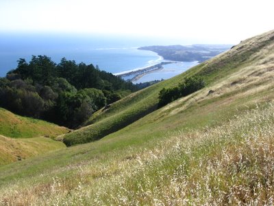 Closer look.
 Looking north on West Ridgecrest Boulevard.
 Mount Tamalpais Watershed.
 Closer view.
 Heading south now. Was originally planning to ride 4 miles (6.4 km) north on West Ridgecrest Boulevard to the southern trailhead of Bolinas Ridge Trail but decided I didn't want to unnecessarily wear down my knobbies. Besides, riding off-road tires on asphalt is inefficient and depressing.
 Stinson Beach. Beyond the inlet to Bolinas Lagoon is the quirky town of Bolinas. The locals guard their privacy zealously. Each time CalTrans puts up a sign on Highway 1 indicating the turn to Bolinas, it would be taken down within hours. This town is also known as a hippie haven. Drive your Hummer / SUV there at your own peril.
 Close up. I was standing next to the watch tower on a previous ride.
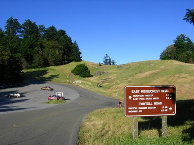 Elevation 1999 ft (609.5 m). Junction with Pantoll Road and East Ridgecrest Boulevard.
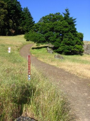 0.2 mile to Mountain Theater. But bicycles are not allowed, so I didn't get a look. (In this area, when it is posted that bicycles are prohibited, that includes possession of a bicycle on the trail.)
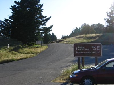 Taking a left and descending to Pantoll Ranger Station.
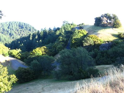 Trojan Point.
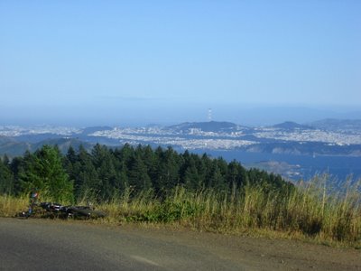 View during the downhill.
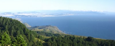 Ditto.
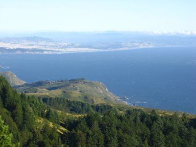 Muir Beach Overlook (elevation 500 ft / 152.4 m).
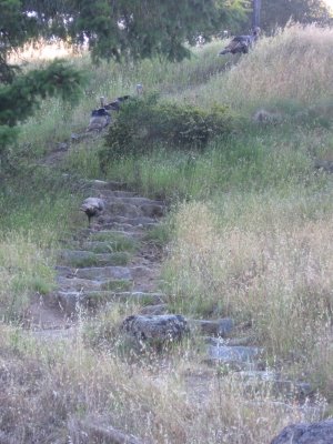 Elevation 1500 ft (457.3 m). Wild Turkeys at Pantoll Ranger Station provided some humor (they don't sound too different from people yakking on cell phones).
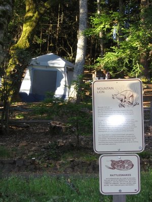 Sign introducing campers, hikers and bikers to the friendly neighborhood. The raccoons are pretty aggressive too.
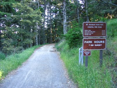 Heading back down on Coastal Fire Road.
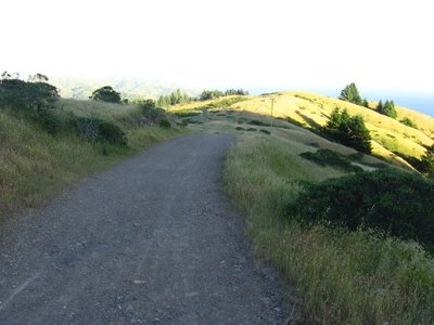 Heading downhill.
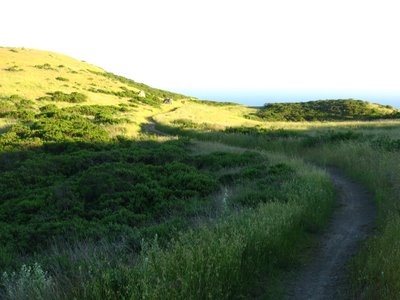 Coastal Fire Road becomes Coast View Trail after the junction with Deer Park Fire Road, and narrows into a double--sometimes single--track.
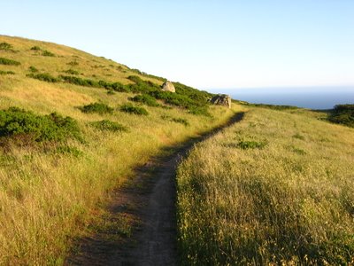 Grass turning gold in the evening light.
 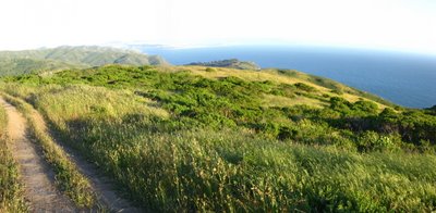 Muir Beach Overlook comes into view again.
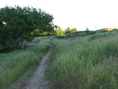 7:45 PM. The day hikers have left, leaving me alone to enjoy the solitude on the mountain.
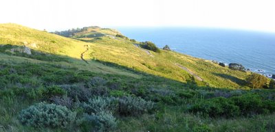 Highway 1.
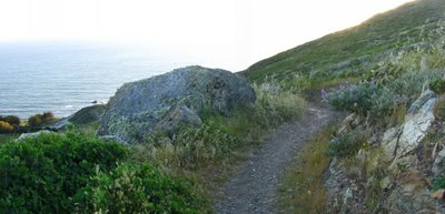 Final switchback.
 Junction of Coast View Trail and Heather Cut-off Trail.
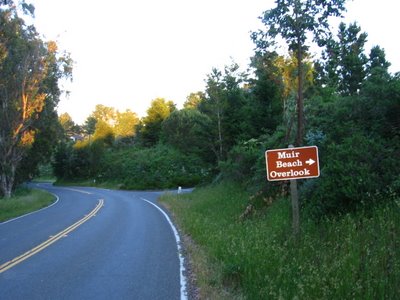 Turning right on Highway 1 after a brief climb.
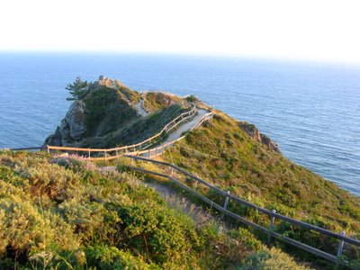 Muir Beach Overlook (elevation 500 ft / 152.4 m).
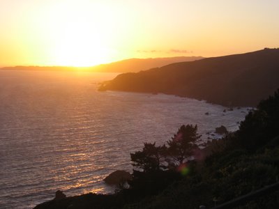 Sunset over the Pacific Ocean.
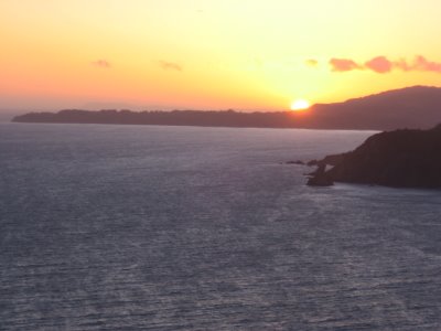 A short downhill back to Muir Beach parking lot after this.
This was a good ride. I was feeling plenty strong all day even though my Camelbak weighed 15.6 lbs (7.1 kg).
Epilogue:
Total distance: cyclo-computer broken / GPS 24.55 miles (39.3 km) / TOPO! 23.57 miles (37.7 km).
Total elevation climbed: Altimeter broken / GPS + TOPO! 4225 ft (1288 m).
Temperature range: 53 F to 68 F (11.7 C to 20 C).
Fluids consumed: 16 fl. oz. of CytoMax, 4 fl. oz. of water, 16 fl. oz. of Gatorade.
Ride conducted solo.

3 comments:
Do you have any idea how amazing your photos are? WOW!
I hope you don't mind, but I've saved some of them for my screen saver. They're so peaceful and relaxing...
Thank you, Amy, you are too kind :-)
Oh, by all means!
Glad you like the pictures.
The camera I use is a humble workhorse, the Canon A510.
http://tinyurl.com/c23at
The main reason I selected it is because Canon's A-series utilizes AA batteries, which can be found at any 7-Eleven or gas station. Also, using Energizer's Lithium AA batteries renders the camera lighter. Their latest offering, the A700, is quite a gem at 6 mega pixels and 6 times optical zoom.
http://tinyurl.com/lkmlc
The even nicer PowerShot S3 IS also uses AA batteries but its bulk approaches that of a full-fledged SLR camera (and is more than twice the weight of the A510). Having lugged a Nikon 6006 up Black Mountain (2800 ft) once, I can attest that a SLR is inappropriate for mountain biking.
http://tinyurl.com/jdguz
Ah, but have you considered, my brother in Christ, that envy is a deadly sin?
Post a Comment