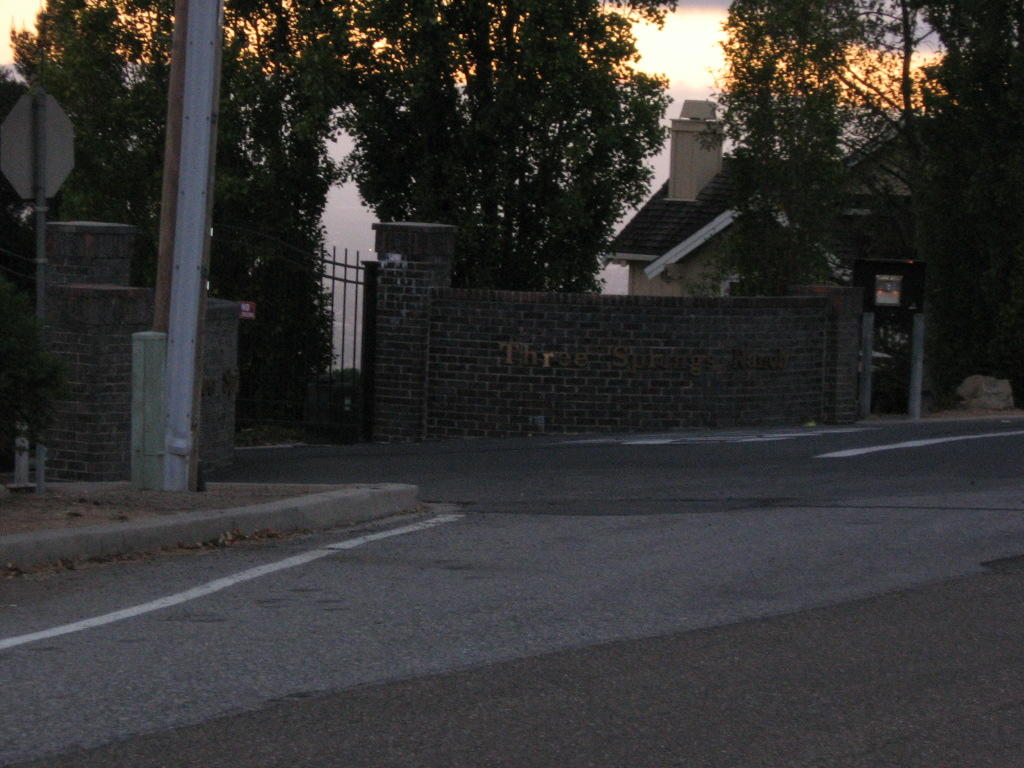
More cold air from the Gulf of Alaska blew down to Northern California this weekend. This, coupled with a low pressure system, resulted in the lowering of snow levels to 500 ft, and sometimes even right down to sea level.
 It hailed in Santa Clara. (That's my neglected backyard.) It snowed in San Jose.
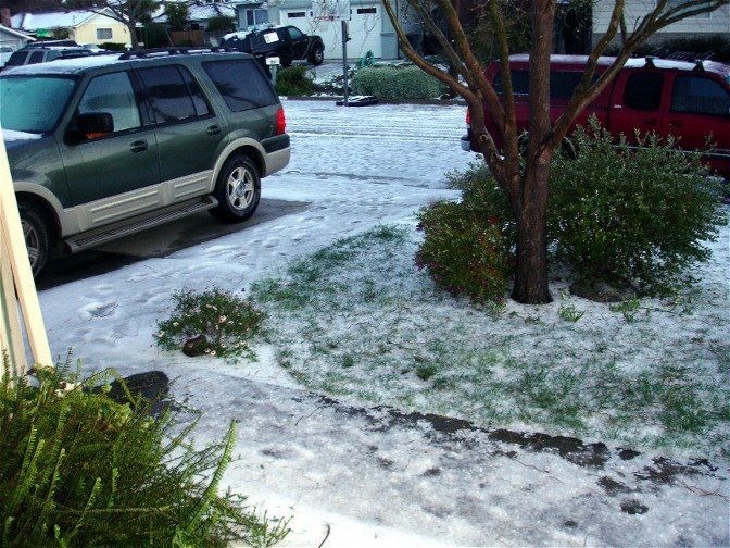 It snowed in Santa Cruz. (Photo credit: gobike).
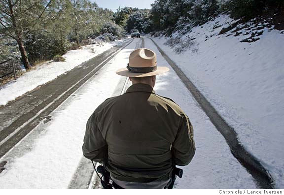 Recalling being turned back by a ranger on a previous snow ride, I decided to stick to the trails this time.
 In terms of trail access to (or near) the summit, Mount Diablo is a better candidate than Mount Hamilton. Hence, I committed myself to a comparatively longer drive from Santa Clara to Clayton, in order to ride up Mount Diablo via the trails from Mitchell Canyon.
 Map of today's ride. 250 track points (blue diamonds) laid by the GPS unit.
 TOPO!'s elevation profile.
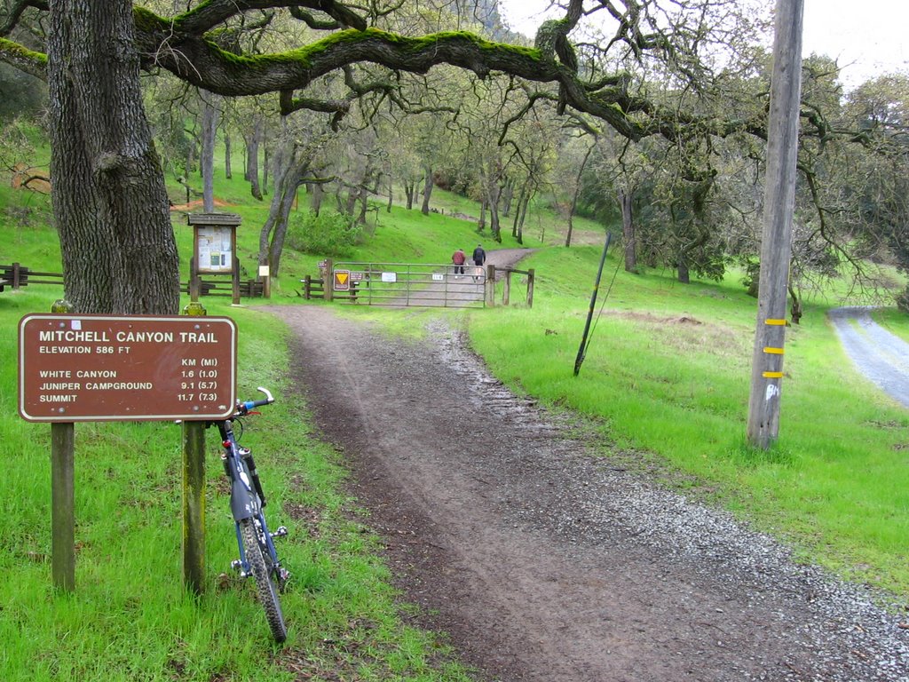 Right by the inner parking lot is the Mitchell Canyon trailhead. Starting temperature was 39 F (3.9 C).
 The first 1/4 mile of the trail wasn't fun. It was a mudfest. Thank goodness for fenders.
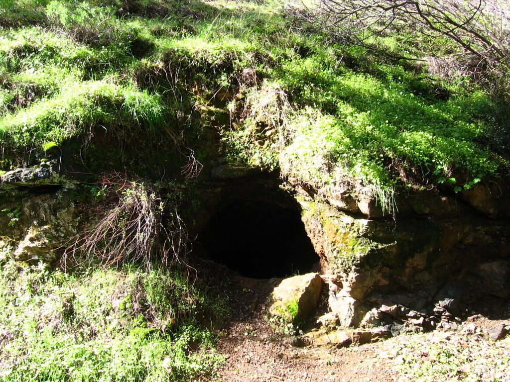 Mitchell Canyon Road climbs just over 400 feet in the first 2 miles, making it a leisurely ride. As you pedal, the crunch of gravel under your wheels is accompanied by the splish-splash of Mitchell Creek parallel to the trail, and the rustle of wind in the trees. This cave by the trail lies at the 2 mile mark.
 Mitchell Canyon Road begins to climb sharply thereafter, gaining just under 1120 ft (341.5 m) in 1.67 miles (2.67 km).
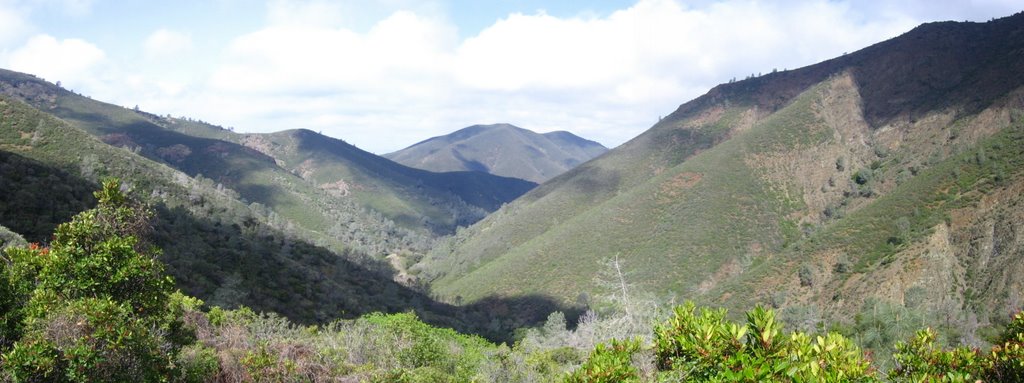 Left to right: Black Point (1791 ft), Mount Zion (1635 ft), Mitchell Canyon, and the flanks of Eagle Peak (2369 ft). A QuickTime VR view of the trail.
 Eagle Peak is riddled with abandoned mines. Many of them have been dynamited shut, but some remain open. One such example can be spotted to the left of the tip of the Gray Pine in the picture.
 Some information. (Actual location of board is at the junction of Prospectors Gap Road, North Peak Road, and Bald Ridge Trail).
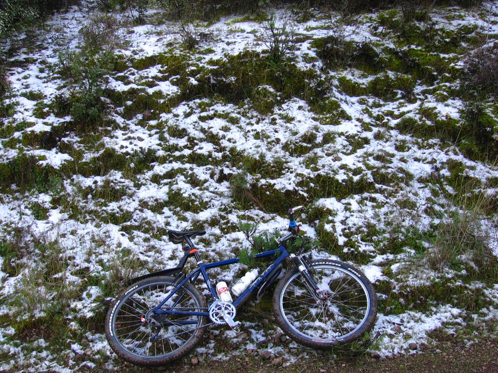 Some snow by Mitchell Canyon Road.
 Elevation 2120 ft (646.3 m): Deer Flat. There are some picnic tables here.
 Onto Meridian Ridge Road.
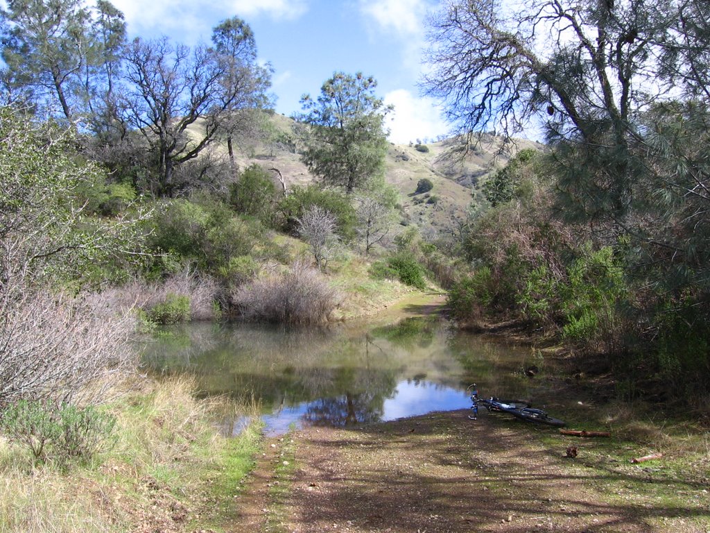 Is that a puddle or a pond? While skirting it on the right, I noticed that it is at least a foot deep. This must be the monster puddle (that exists in winter) other write ups talk about. Glad I didn't try to pedal through. Crossed Deer Flat Creek after this.
Encountered a couple on horseback shortly after this. The lady's horse was a colt that was still not yet totally comfortable with mountain bikers. Despite having spotted them 50 yards away, getting off my bike and standing really still, the horse bucked and almost threw her off.
She was cool with it though (it wasn't my fault). After her horse calmed down, she asked for permission to come towards me and have me pet and talk to her horse in an effort to better socialize him towards mountain bikers. I was a little apprehensive as getting trampled by a spooked horse wasn't high on my agenda today, but I acquiesced anyway. It didn't seem to work too well though. He sniffed my Pearl Izumi medium-weight gloves, snorted, tried to duck my 2nd attempt to pet him and trotted away. Maybe
 Elevation 2272 ft (692.7 m): Murchio Gap, Eagle Peak range on the left, and an unnamed knoll on the right.
 Meridian Ridge Road passing by Murchio Gap. That red adobe soil is rather sticky. It is near impossible to remove it without plenty of water.
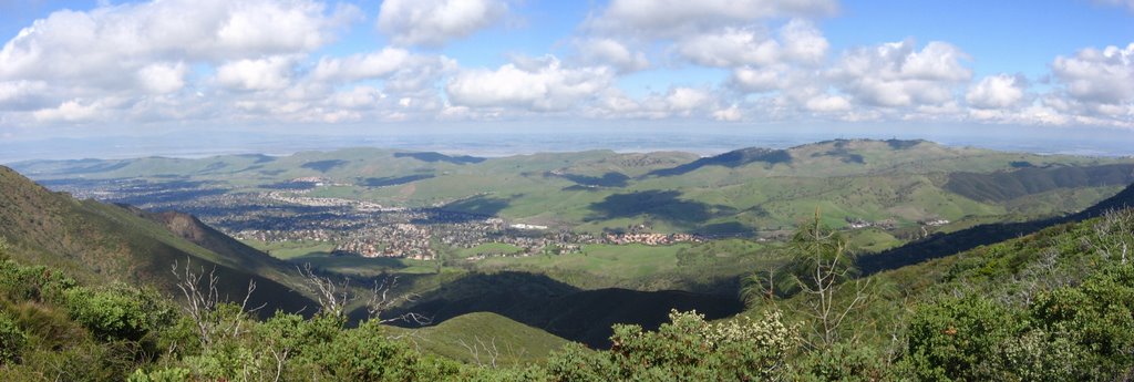 A view of the city of Clayton from Meridian Ridge Road.
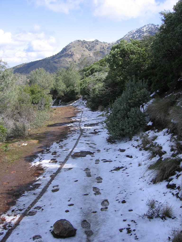 Some snow in the shade. A short downhill of a couple hundred feet briefly breaks up the monotony of climbing here.
 Getting onto Prospectors Gap Road. The North Peak (3557 ft) of Mount Diablo is visible ahead.
 Personally, I prefer this picture. It's back to climbing from here.
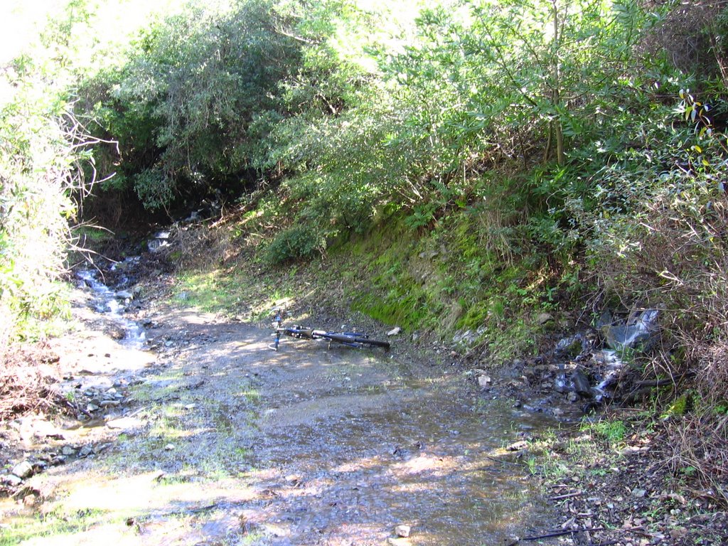 Prospectors Gap Road crosses Big Spring at an elevation of 2273 ft (693 m).
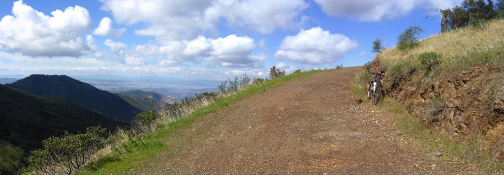 Meridian Ridge and Meridian Point on the left.
 The city of Clayton forms the backdrop as Prospectors Gap Road winds its way up the northern flanks of Mount Diablo.
 A wider view. Elevation 2640 ft (805 m).
 The summit tower, on the upper right hand corner, lies 1209 ft (368.6 m) above.
 Elevation 2830 ft (862.8 m): a little closer to the summit now.
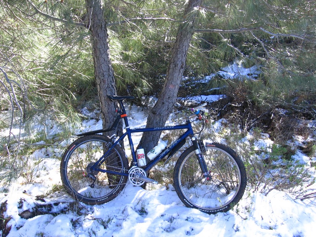 At the junction of Prospectors Gap Road and Bald Ridge Trail (hiking only).
 Approaching the junction of Prospectors Gap Road, North Peak Trail, and an unnamed singletrack.
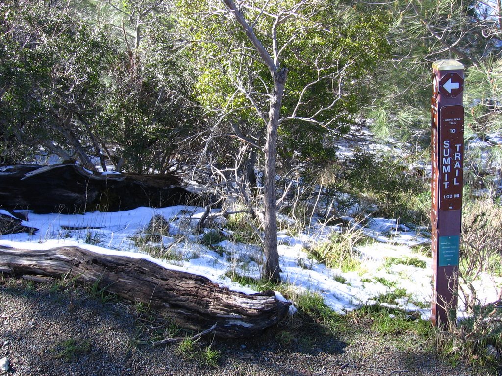 North Peak trail.
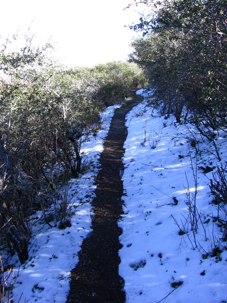 Singletrack.
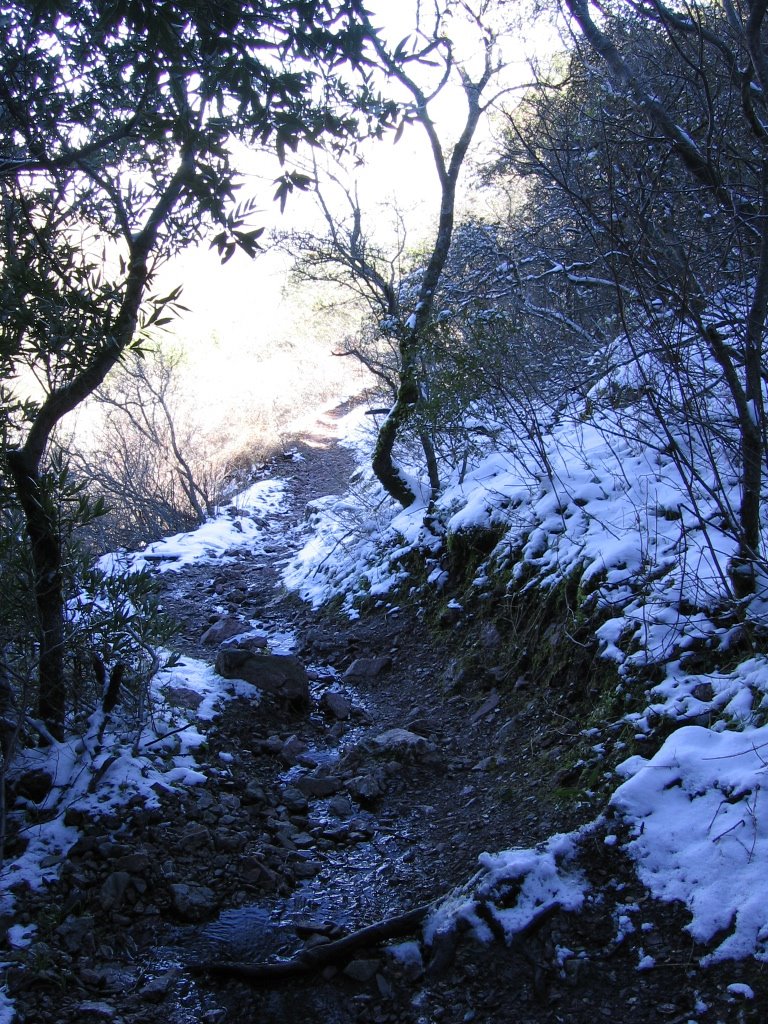 Yep!
Yep!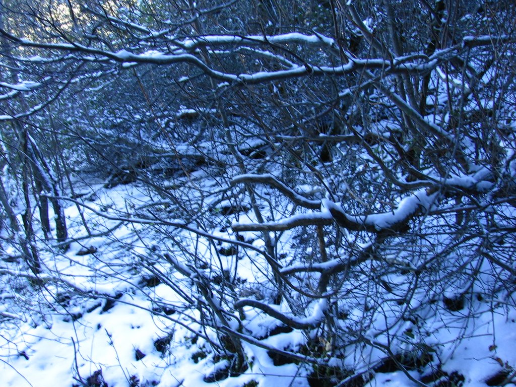 Woot!
Woot!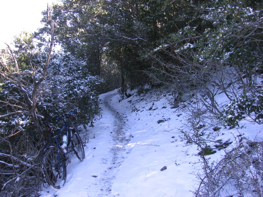 Brrr! Temperature is about 35 F (1.7 C).
As it wasn't snowing this time, foot warmers were overkill, toe warmers were enough.
 The accumulated snow on the leaves of this bush look like teaspoons of ice cream.
 A close up.
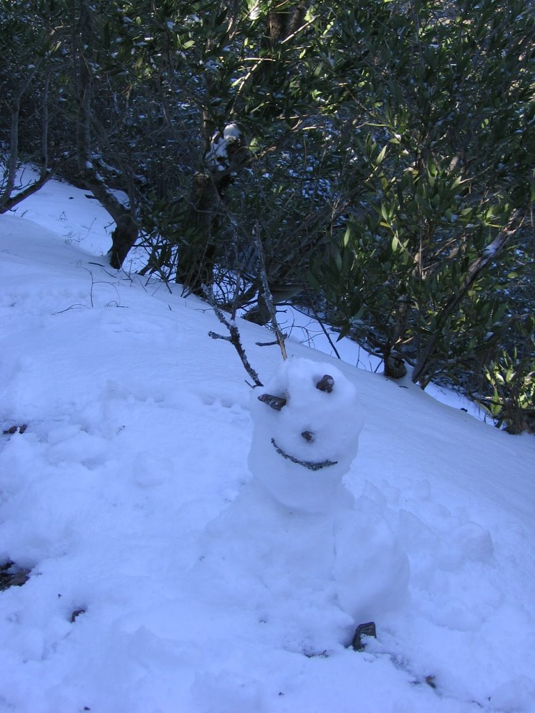 A small snowman by the trail. He wasn't really complete when I found him, so I took some time to buffer his body with more snow, and give him another horn, a nose, and a smile : - )
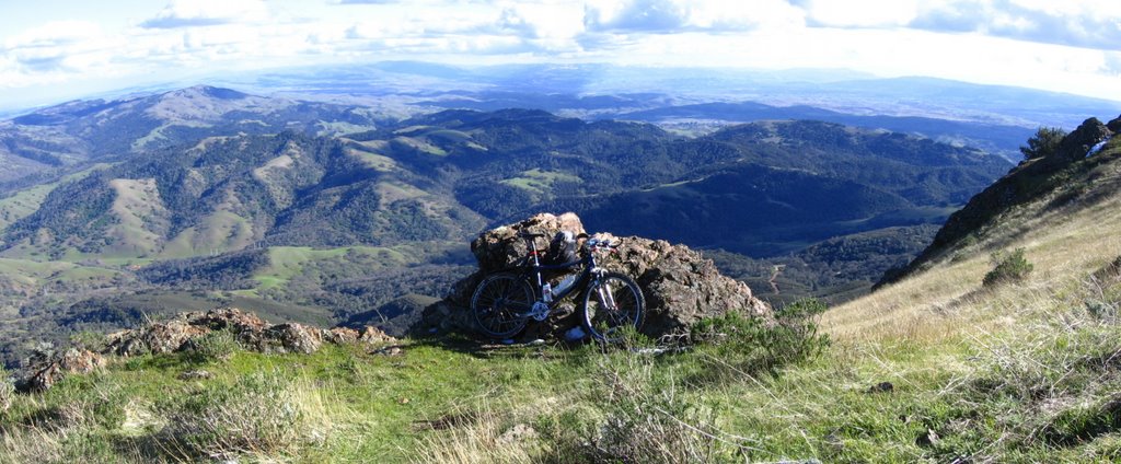 Emerging from the shade and taking a break in the sunshine.
 Elevation 3480 ft (1061 m): Devil's Elbow. The last time I was here, I was on slicks.
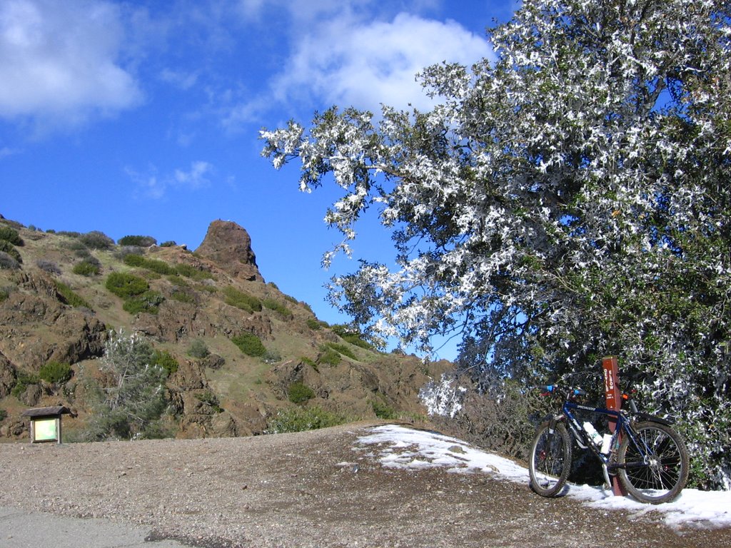 See if you can spot the 2 hikers sitting on top of Devil's Pulpit.
From here, it's about 2 miles (3.2 km) and 369 ft (112.5 m) to the summit. Got nailed by 3 snowballs on the way up. I guess the ranger was right about presenting yourself as a moving target to kids if you take the road. Grrr!
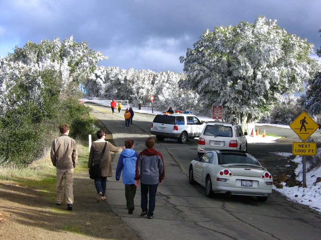 Secondary parking lot at the base of of the summit. The rangers opened the road when I was 1/2 way up. Ah! Exhaust fumes and traffic on top of a mountain. The anti-climax.
 After the mandatory 17% grade section...
 Moi.
Moi.As the stairway up to the observatory platform was crowded and icy, I decided to skip climbing up with my bike this time. Here's a QuickTime VR someone took: 360 view from the top. Pictures from the previous time I was here.
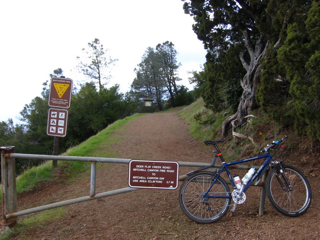 The ride down from the summit (3849 ft) to Juniper Campgrounds (2940 ft) was cold, but I came prepared with a helmet liner, Helmufs and booties. From there, it's a descent of 820 feet over 1.58 miles to Deer Flat (2120 ft).
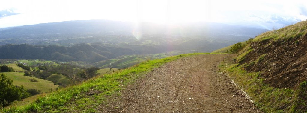 A view of the Diablo Foothills whilst descending Deer Flat Road.
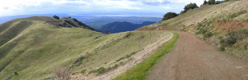 Deer Flat Road goes down the gap in the center. The trail continuing along the ridge is Burma Road.
 At the gap, Clayton and Mount Zion comes into view again.
 Back at Deer Flat and a rollicking descent of 1534 ft (467.7 m) over 3.67 miles (5.87 km) of Mitchell Canyon Road back to the car.
Epilogue:
Total distance: cyclo-computer 16.2 miles (25.92 km) / GPS 17.01 miles (27.2 km) / TOPO! 16.26 miles (26.02 km).
Total elevation climbed: Altimeter 4680 ft (1426.8 m) / GPS + TOPO! 4522 ft (1378.7 m).
Temperature range: 35 F to 41 F (1.7 C to 5 C).
Fluids consumed: 20 fl. oz. of CytoMax, 8 fl. oz. of water.
Ride conducted solo.