Thursday, December 22, 2005

Bull Point Trail Ride


Lunch, the long drive up from Santa Clara and the visit to the lighthouse, south, north and Drake's beach, left me with precious little time before sunset (4:51 PM), so a short ride will have to do for today. Enter Bull Point Trail, a doubletrack to the heart of Drake's Bay. Of the three routes leading to Drakes Estero, Bull Point Trail is the easiest yet most remote. The trail traces the eastern bluffs of Creamery Bay, wandering through open pasturelands--and grazing cattle--to expansive views of Drakes Estero and Drakes Bay: enormous saltwater and freshwater bays home to a huge variety of shorebirds and waterfowl.
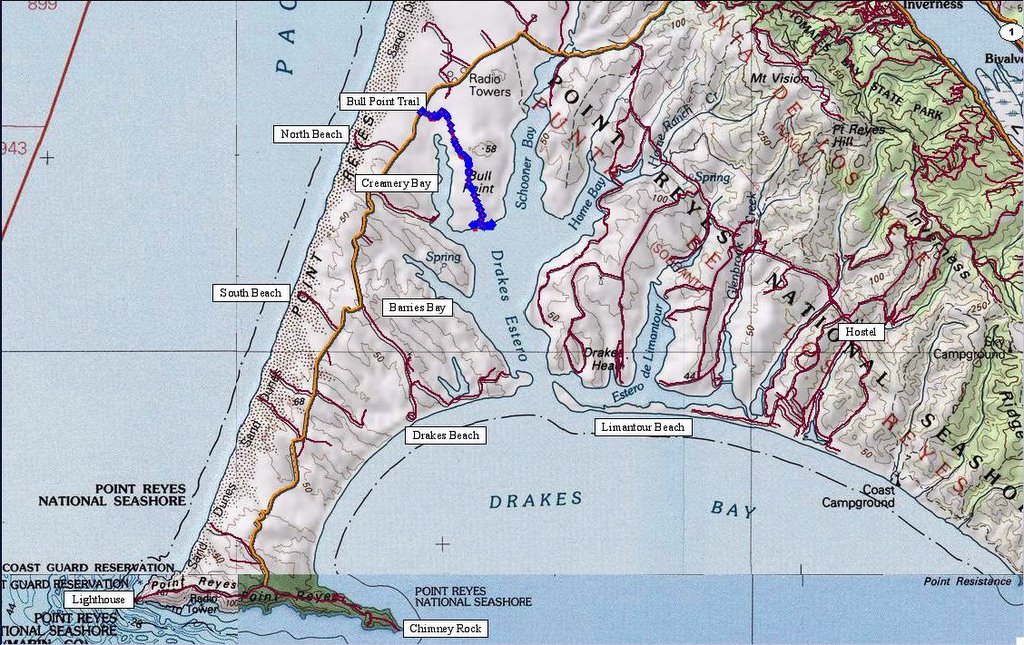


Map of the local area and trail. 193 track points laid by the GPS unit.



TOPO!'s elevation profile.


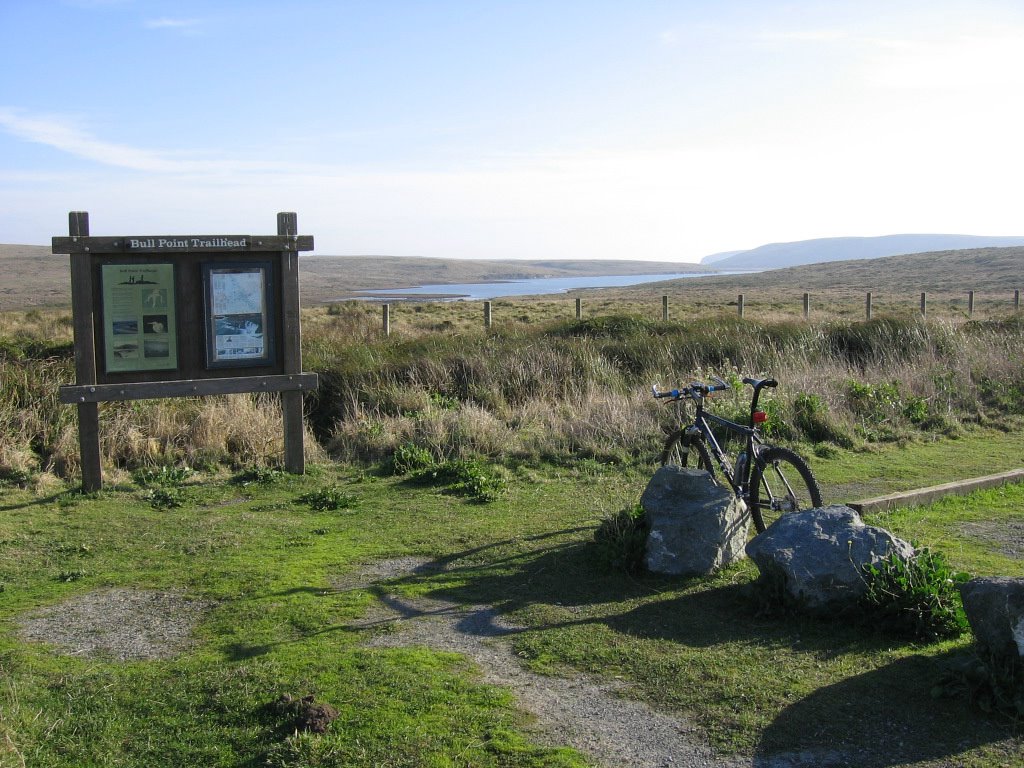
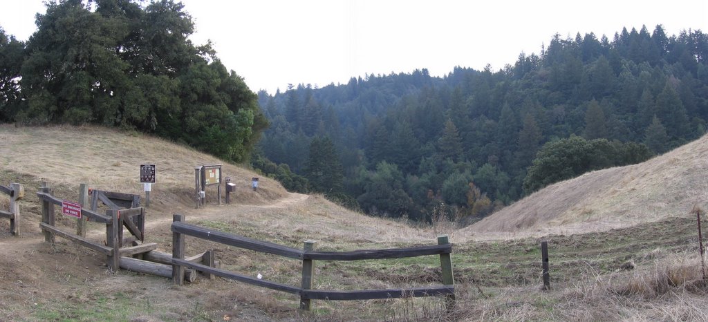
Trailhead. The body of water is Creamery Bay.
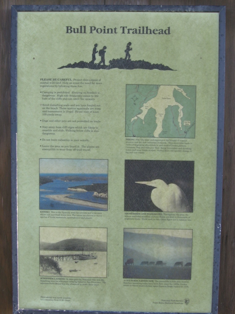


Some info about the trail.


While the trail isn't technical, it could hardly be described as a smooth ride. The entire trail was pockmarked with depressions caused by the passage of countless cows. Yes, it was a bumpy ride. The cow pies are about the most difficult obstacle on this trail.
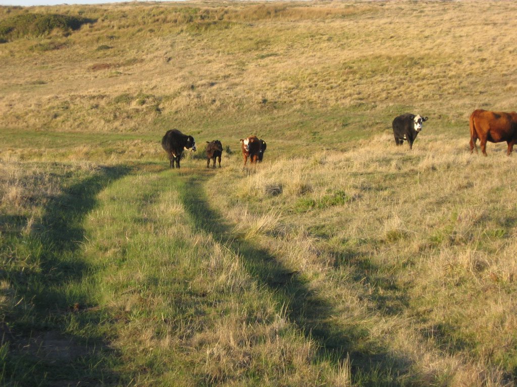


One other obstacle on this trail (besides cow pies): cows. The regular ones stare at you until the last few seconds before moving off grudgingly. The sneaky ones leave a steaming pile of sh*t for you to run over. Now, the psycho ones. Those are nuts. Not only do they refuse to move, but as you get closer, they try to headbutt you. Now, when you are talking about a 1500+ lb animal, their head can weigh as much as 150 lbs (my weight after a big meal): a headbutt will probably do some serious damage. I don't care how tough you are or you are 50 cent's twin, Moo Moo Cow here and her headbutt will send you flying. Maybe I can wear an Outback Steakhouse or a Black Angus Steakhouse jersey to let them know who they are dealing with:


Just a cyclist?
JUST a cyclist?

I had your sibling for dinner last weekend!
Naw git de hell otta mah way!


Or, maybe I'll just threaten them with a steak knife and a bottle of Worcestershire sauce.
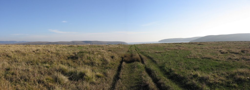


Reaching the end of this very short 1.8 mile (2.88 km) trail.


Getting closer.


Found this unmaintained singletrack. Woohoo!
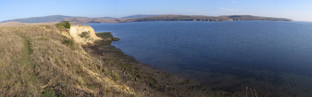


A wider view. The peak on the left is Mount Vision (1282 ft). It's twin on the right is Mount Wittenberg (1407 ft).
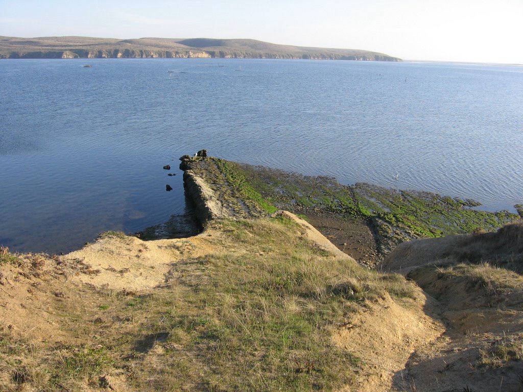


This slab of rock is most interesting. Is it part of a larger plane? Or just an odd slab that's more resistant to weathering than its neighbors?

The rafts floating in the bay are oyster racks. From these racks dangle wires, which oysters latch on and grow for 18 months before being harvested and schucked for the market.
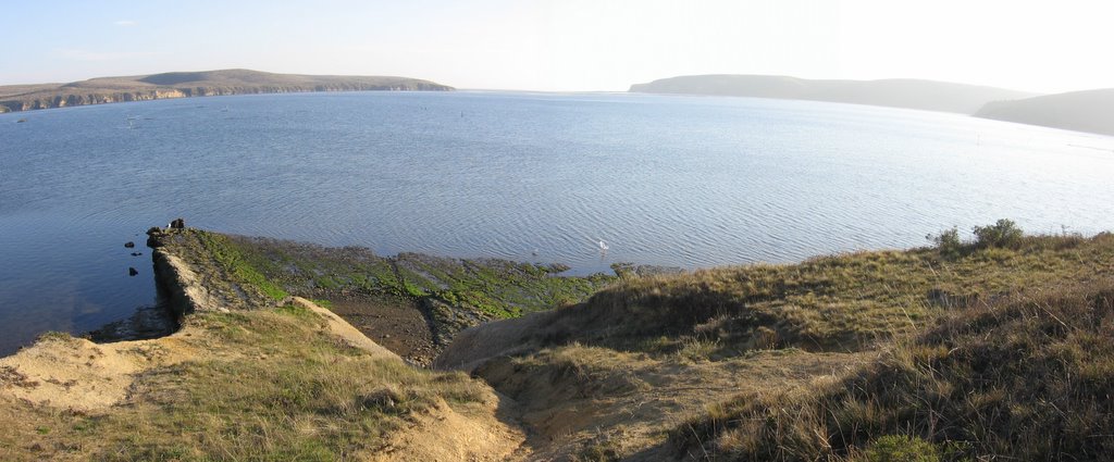


Wider view. A trail on top of the cliffs across the bay runs to Sunset Beach. Much like their more majestic inland cousin, Half Dome, these cliffs blaze a brilliant orange when the sun goes down.


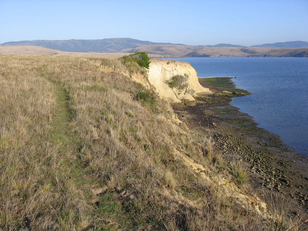
Singletrack skirting the edge of a crumbly cliff. Simon says, "If you must fall, fall to your left." On the left is the opening to Schooner Bay and Johnson's Oyster Company.

All too soon, the enjoyable jaunt came to a close as this unmarked trail deadended at a fence with the sign, "Private Property. No Trespassing." Time to double back.


Back at the official trail, the remainder of Bull Point Trail leads to this pocket beach.
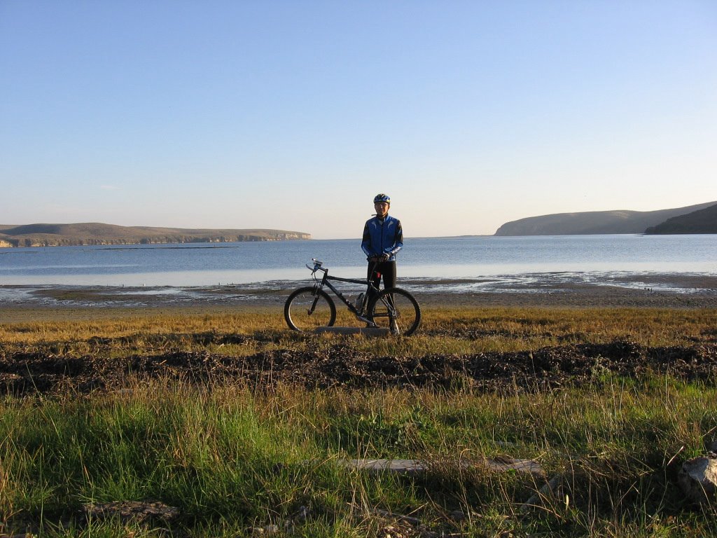


The cliffs of Sunset Beach on the left. The inlets of Creamery Bay and Barries Bay on the right. The opening to the Pacific Ocean in the center.
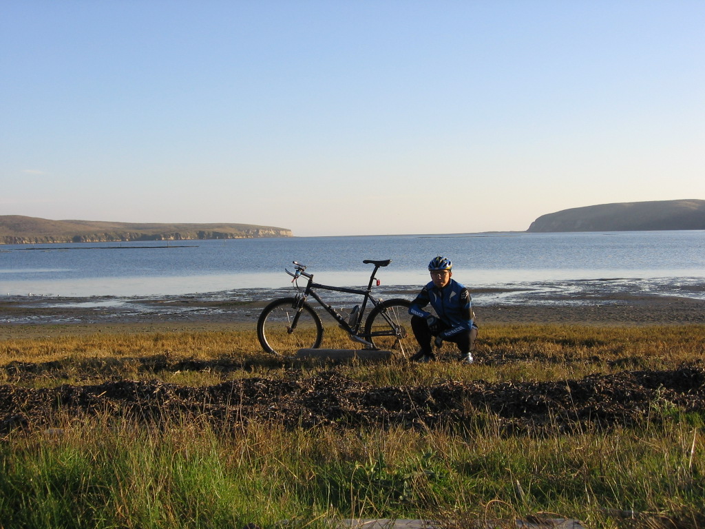


Moi.

Despite its brevity and proximity to the main road (Sir Francis Drake Boulevard), Bull Point Trail is remote. All I could see were hills, dales, ridges, bays, wildlife and cattle. Not once did I rest eyes on another person during the ride.


Epilogue:
Total distance: cyclo-computer 4.3 miles (6.88 km) / GPS 4.44 miles (7.1 km) / TOPO! 4.40 miles (7 km).
Total elevation climbed: Altimeter 329 ft (100.3 m) / GPS + TOPO! 225 ft (68.6 m).
Temperature range: 50 F to 56 F (10 C to 13.3 C).
Fluids consumed: 0 liters.

Saturday, December 10, 2005

Pain


The days are getting shorter now (7:12 AM sunrise, 4:51 PM sunset) and colder too (though nowhere as cold as the Northeast and Midwest). All these make it harder and harder to engage in epic rides. Easy rides just don't cut it. Though they have their pluses: more time to explore, more time to relax over meals, not being so pressed for time, etc., easy rides lack a certain something.

Epic rides are a favorite of mine. To be out there on a long unsupported ride is a curious experience: there is an immense freedom in the endeavor, and yet, a certain apprehensiveness as it means that one has to take whatever comes. Once, for some strange reason, on a really isolated stretch of road, I developed a crippling pain in my tailbone. As a result, I had to stand and pedal for the next 31 miles (49.6 km). Now, while it was a nightmare and I was cussing the entire time, it is a memorable experience now.

"What do I encounter most often in epic rides? And what do I like about it?", a friend asked. I thought long and hard about it, and my answer to both is, "Pain." All sorts of pain, from nagging chaffs that turn from red to broken blisters 70 miles on, to muscle aches that throb with every pedal stroke, to fiery streaks of pain that shoot through complaining knees, requiring painkillers every 2 to 3 hours. Pain.

Why? Because it cleanses. Now, while I am no believer in the merits of self-flagellation, there is indeed something cleansing about cycling and pain. One has to produce — and continue producing — forward momentum despite the pain. The determination needed necessarily requires one to mentally and emotionally push aside — wipe out — all thoughts and emotions that are not required for the present task. One begins to talk to one's bike. One begins to verbally coax one's feet / calves / thighs: "Come on, baby, don't cramp. Yes, push, you got it. OK, that's one revolution. You can do plenty more. One more. Yes, that's it. Another. And another..." One begins to seek out the smoothest lines to ease one's sore butt. In this private world, nothing else matters. And one's cycling partner becomes Pain. Coaxing, taunting, egging, letting off, then coming back full force again. Repeat. Repeat. In this world, troubles and worries do not exist.


In his autobiography, seven-time Tour de France champion, Lance Armstrong wrote:


Cycling is so hard, the suffering is so intense, that it's absolutely cleansing. The pain is so deep and strong that a curtain descends over your brain. . . . Once, someone asked me what pleasure I took in riding for so long. "Pleasure?" I said. "I don't understand the question." I didn't do it for pleasure. I did it for pain.
         (Source)


In the words of Scott Martin,


To be a cyclist is to be a student of pain... [A]t cycling's core lies pain, hard and bitter as the pit inside a juicy peach. It doesn't matter if you're sprinting for an Olympic medal, a town sign, a trailhead, or the rest stop with the homemade brownies. If you never confront pain, you're missing the essence of the sport. Without pain, there's no adversity. Without adversity, no challenge. Without challenge, no improvement. No improvement, no sense of accomplishment and no deep-down joy. Might as well be playing Tiddly-Winks.


Though more related to ultramarathon running than ultramarathon cycling, the sentiments expressed in the following quote struck a chord with me:


Dr. JoAnn Dahlkoetter, a Stanford sports psychologist and author of Your Performing Edge, says those attracted to ultras are often loners who don't accept other people's views on the limits of human endurance. "They see body aches and pains — adversity — as a way to explore their inner potential," she says. "It can almost be like a Zen kind of thing or a trance — being out there doing something repetitive for long periods of time."


There is something paradoxical about the entire experience of pedaling alone for 12 to 14 hours, or more, at a go. One begins to truly live: every nuance in the road is felt, every bump instinctively avoided, every change in the incline detected, however subtle. The scenary, temperature, the crunch of gravel or the rustle of leaves under one's wheels, the scent of the eucalyptus leaves, or trail of a skunk (or ripe roadkill), the punishing headwind, or friendly tailwind, all become part of some larger panorama of experience. At the same time, the cares and worries of regular life fade away, receding further and further away with each passing mile.


         Pedal
         Spin
         Breathe

         Live


It is indeed like Zen, with the mantra simply being life.

What's that line again?


         When I ride, my problems can't keep up.


As the saying goes, "Pain is only weakness leaving the body."

And so I go... to climb another mountain; to ride atop another ridge; to descend into another valley; to climb through cool redwood forests; to blast down sun-baked canyons, and cross icy-cold streams. To experience pain. To live.


Today is your day! Your mountain is waiting.
So. . . get on your way.

         (Dr. Seuss)


Comments found at original posting.

Thursday, December 08, 2005

Lexington Reservoir Ride


As part of the preparations for a longer ride in the future, I went on a reconnaissance ride around Lexington Reservoir on Dec 5, 2005.


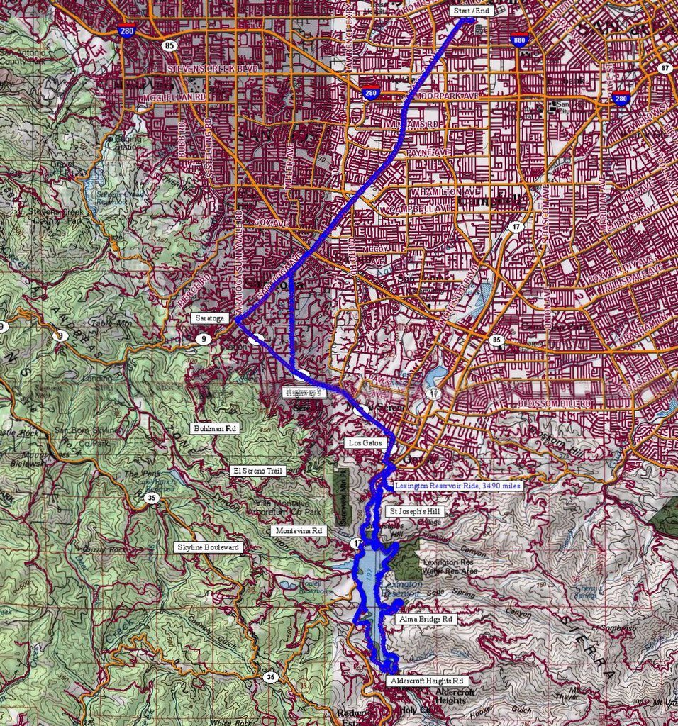
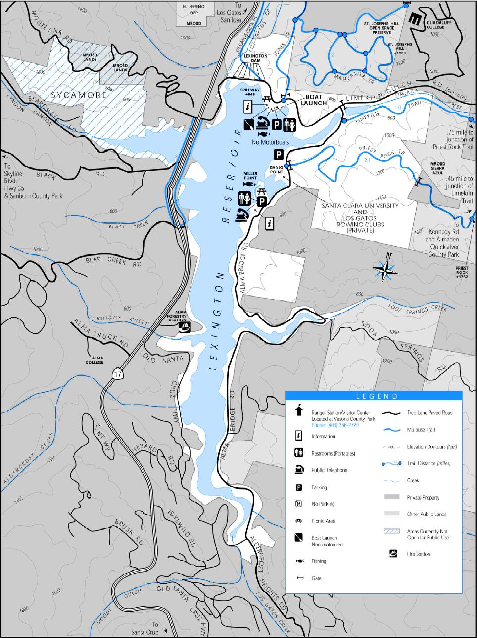
Map of the ride. 1499 track points laid down by the GPS unit.


TOPO!'s elevation profile.


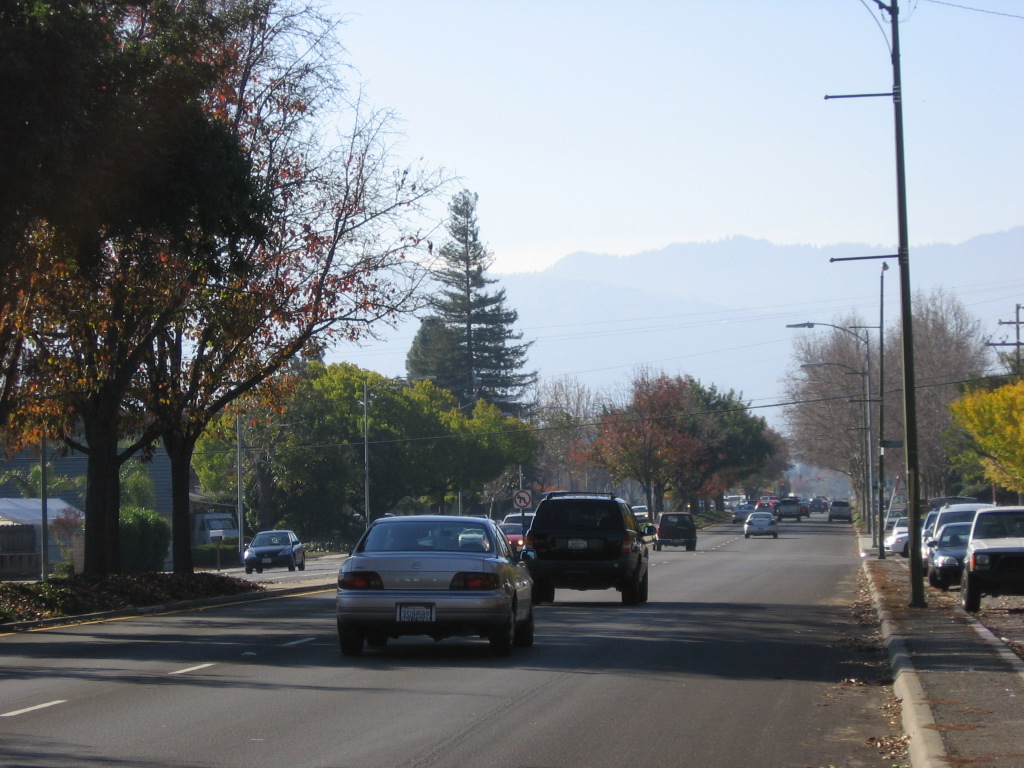
Saratoga Avenue leads straight to the city of Saratoga and Highway 9.


Highway 9 runs between the town of Los Gatos and the city of Santa Cruz (passing the city of Saratoga along the way). This portion of Highway 9 leads to the town of Los Gatos. Trivia: Steven Spielberg attended high school in Saratoga.


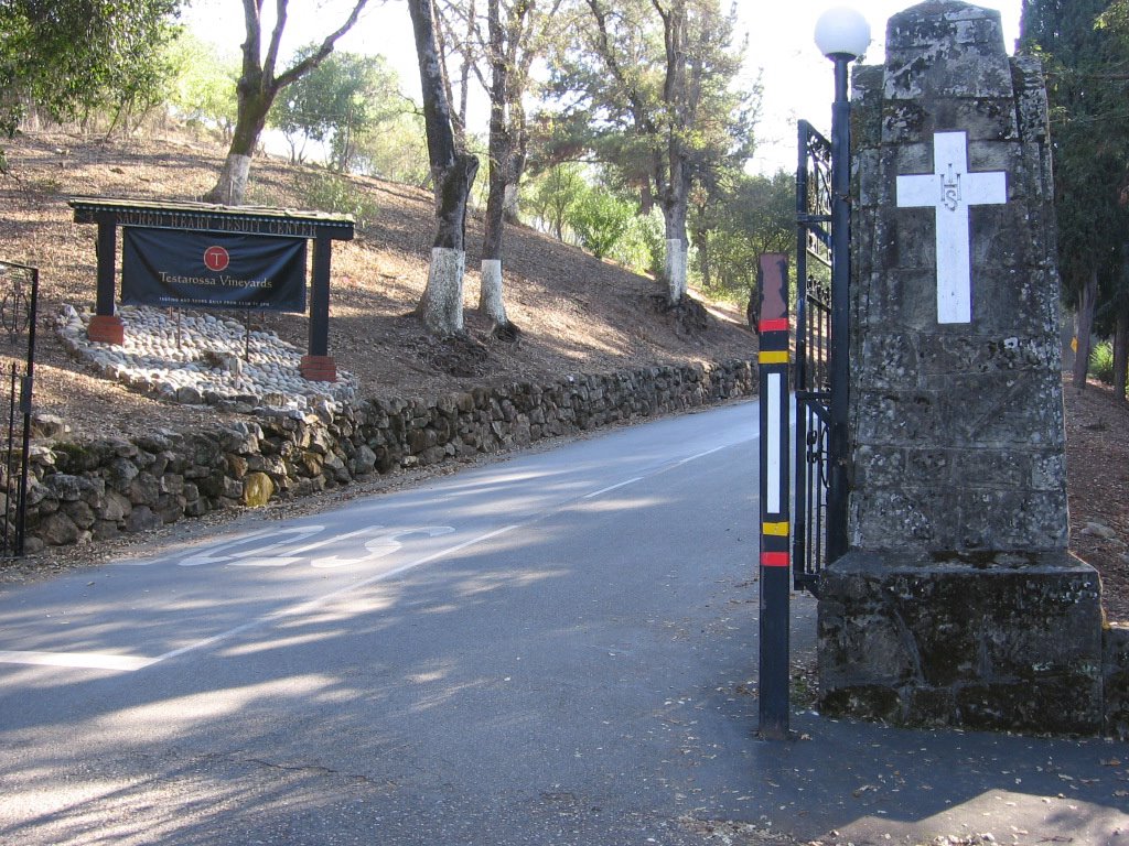
Missed the right turn into Los Gatos Creek Trail at East Main Street and Maple Place (immediately after crossing over HW 17), and took a right at College Avenue instead. Then, I missed the right turn to Jones Road and climbed to the top of College Ave, where I chanced upon the gates of Sacred Heart Jesuit Center, a home for 64 retired priests and brothers. Readers with long memories might remember my August 7th post about the suicide of Father James Chevedden and the allegations of sexual abuse surrounding the incident. This is not the first time the Jesuit retirement community in Los Gatos has been rocked by scandal, in 2002, the Jesuits paid $7.5 million to two retarded dishwashers to settle their allegations of sex abuse.


The free wine tasting and tour (10 AM to 5 PM, everyday ) at Testarossa Vineyards was tempting, but finding the way to Lexington Reservoir was more important. So back down I went.


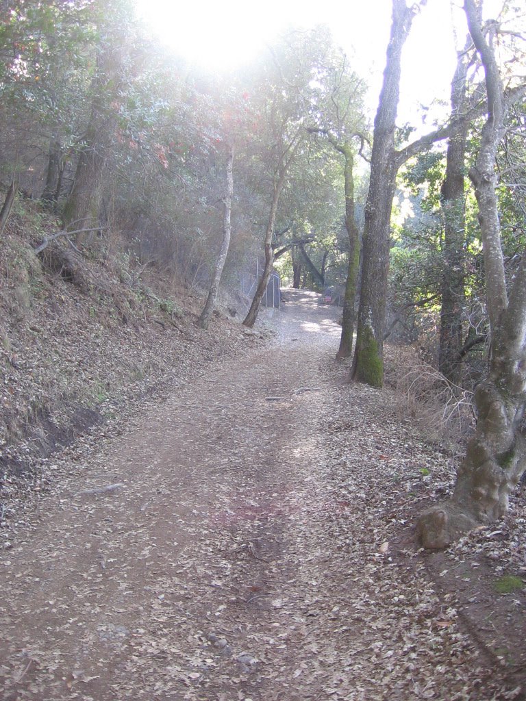
Found Jones Road this time :) Jones Road eventually becomes Jones Trail. As Jones Trail climbs the flanks of St. Joseph's Hill (1250 ft) en route to Lexington Reservoir, it climbs an additional 200+ feet compared to Los Gatos Creek Trail.


Jones Trail follows the historic alignment of Jones Road, which was used in the last century by stage coaches and pack teams. This was an important route, bringing people, supplies, and equipment over the precipitous St. Joseph's Hill and then down into Los Gatos. From the mid-1800s until 1925, this narrow and steep road was the main connection between Los Gatos and the small towns of Lexington and Alma. When Lexington Reservoir was built in 1952, the towns were abandoned and inundated by the water. (Source: www.openspace.org flyer)


Top of Jones Trail looking north. Lexington Reservoir and Alma Bridge Road on the left. Westbound Highway 17 (towards Santa Cruz) straight ahead. A small portion of the Los Gatos Creek Trail can be spotted below.


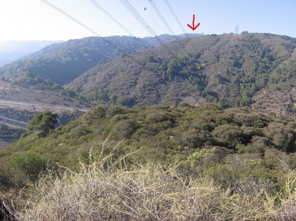
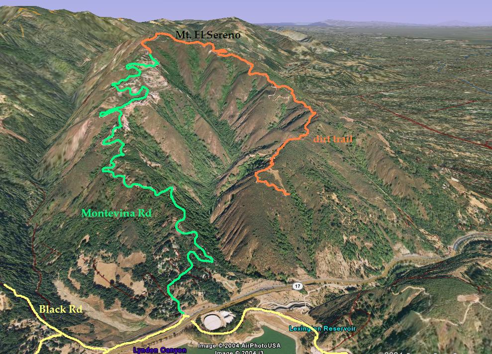
There is a more painful way to reach Lexington Reservoir. (Click on the road names for illustrated 3D pictures). By taking Bohlman Road (3D view) in Saratoga to Montevina Road (3D view) in Los Gatos via the 1/4 mile dirt path, El Sereno Trail (3D view) (elevation 2570 ft) , one clocks an additional 1500 feet of climbing. The houses on top of Montevina Road can be seen in this picture (red arrow).


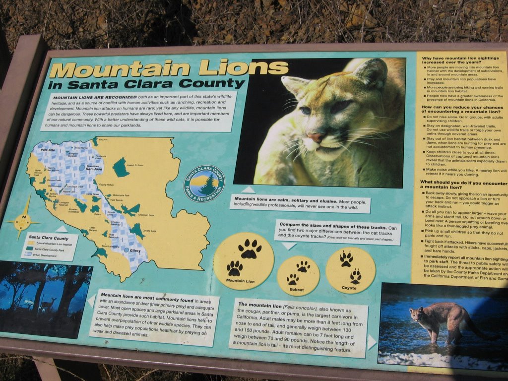
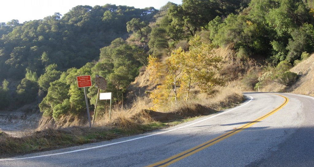
After a relatively steep descent, dropping 155 feet, I find this comforting sign at the Jones Road trailhead at Alma Bridge Road. Always nice to know you are not on top of the food chain. Keeps one humble, IMHO.


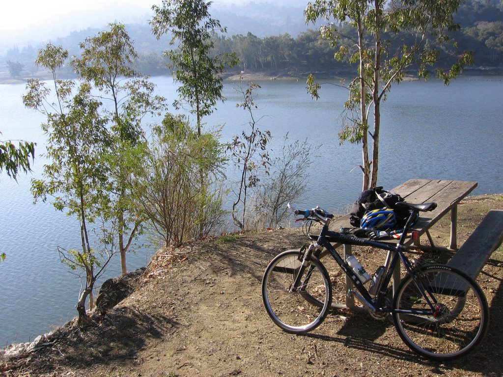
After a leisurely lunch of an expired Cliff Bar by the waters of Lethé Lexington Reservoir, where I poured over a map, I decided to go with my hunch that there exists a trail linking Alma Bridge Road with Old Santa Cruz Highway on the north side. Alternate views: (1), (2).


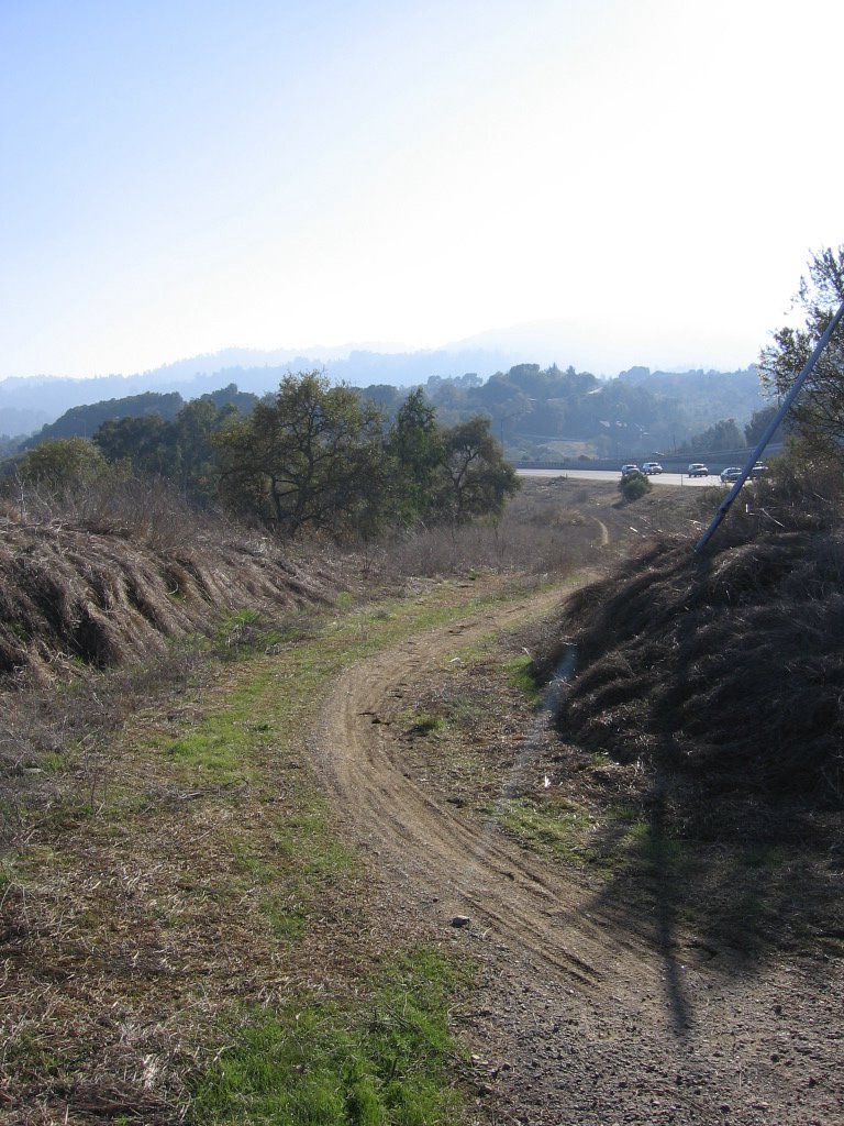
When I reached there, there was indeed a trail, but it wasn't a fire road. It was a mildly rutted, muddy singletrack. And I was on slicks. Specialized Fat Boys, 100 PSI, no tire knobs or even threads, smooth as a baby's butt cheek. Oh well, what the heck, right? Here we go... slipping and sliding all over the place.


Half-way through the trail, a panorama of Lexington Reservoir from the north bank. Beneath the water lie the towns of Alma and Lexington.


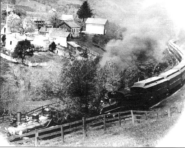
Town of Lexington circa 1910, looking north. Southern Pacific train to Santa Cruz.


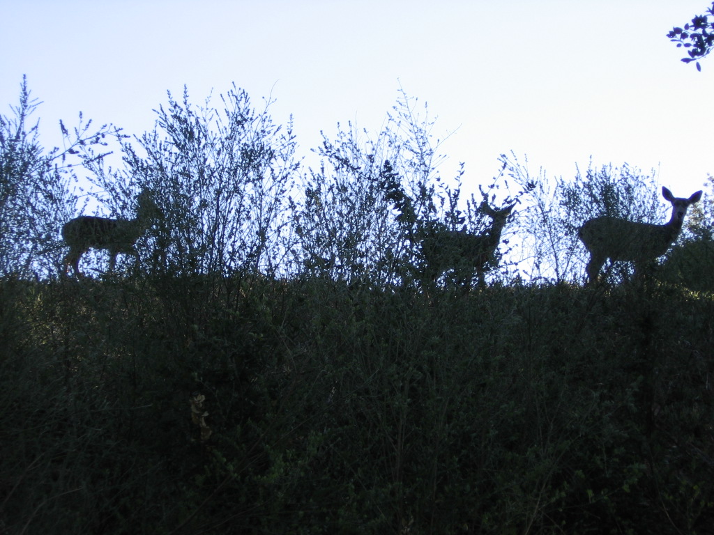
Upon emerging from the singletrack paralleling HW 17, I mistook Old Santa Cruz Highway for HW 17 and plunged back into another trail. Missed a turn because I was momentarily distracted by some deer and ended up following fishing trails, backtracking and trailblazing for 45 minutes before dead-ending into a very steep wall of mud. If I went up carrying my bike, there was no way I could safely descend. Remembering that one should never get into a position where one cannot backtrack, I conceded defeat to the wall of mud and returned to my previous known point: the last trailhead. Maybe it was a different frame of mind (I was actually looking for Old Santa Cruz Highway now, and not a supposed continuation of a trail), or a different perspective (looking east instead of west), but I realized I was on Old Santa Cruz Highway. Back on track again :)

Climbed Old Santa Cruz Highway west for a few miles before turning left and descending south along Aldercroft Heights Road to link up with southbound Alma Bridge Road.


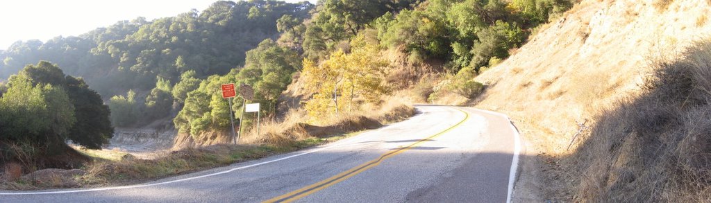
Alma Bridge Road follows the south and east banks of Lexington Reservoir.


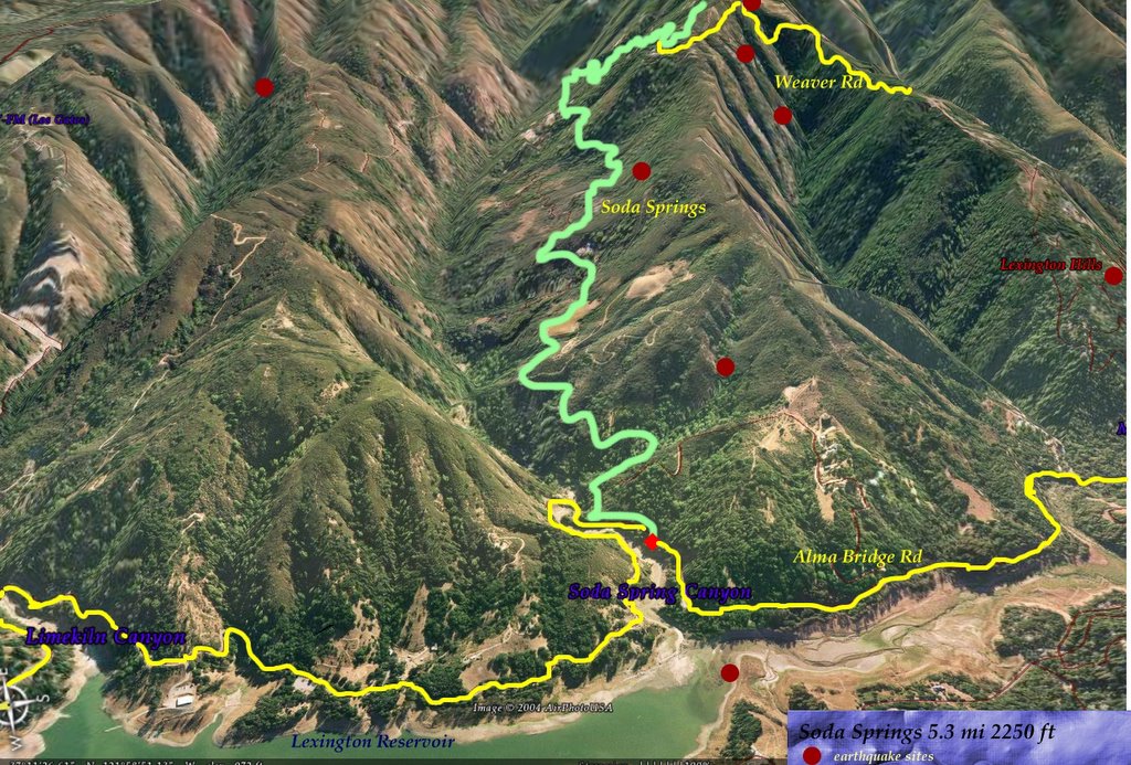
A wider view. This section is known as Soda Springs Canyon. Soda Springs (3D view), a road which climbs 2250 feet in 5.3 miles begins here.


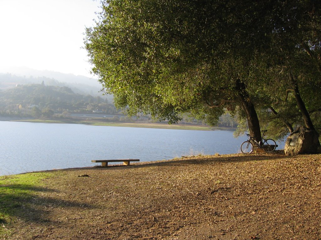
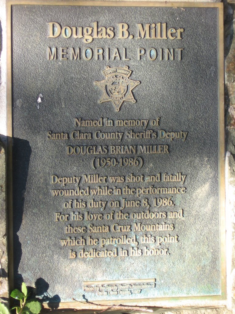
Generally referred to as "Miller's Point," this picturesque picnic area was named after a fallen police officer.


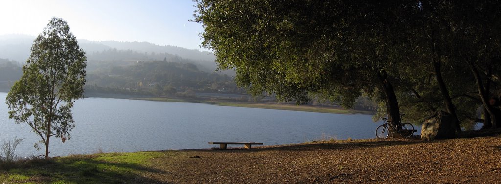
Under the shady oak trees at Miller's Point. Map of the reservoir.


A wider view.


Plaque on the boulder in the previous picture.


Back on the west (dam) side, facing the Santa Cruz mountain range. One word to describe circumventing Lexington Reservoir (via unnamed singletrack, Old Santa Cruz Highway, Aldercroft Heights Road and Alma Bridge Road): rollers. There were no extensive climbs, just a significant number of rollers.


Los Gatos Creek trail leading down and eastwards to the town of Los Gatos.


Sugoi's technical wear comes through again . The Sugoi Convector jersey is excellent. With the aid of the Sugoi Blur vest, the combination kept me warm even at 48 F (9 C) on flats and downhills. I was surprised that I did not feel the need to break out the windbreaker. Typical Sugoi gear--worth every penny.


Epilogue:
Total distance: cyclo-computer 35.1 miles (56.16 km) / GPS 34.79 miles (55.66 km) / TOPO! 34.95 miles (55.84 km).
Total elevation climbed: Altimeter 2780 ft (847.56 m) / GPS + TOPO! 2677 ft (816.16 m).
Temperature range: 45 F to 53 F (7.2 C to 11.6 C).
Fluids consumed: 1.2 liters.

Wednesday, November 30, 2005

Specialized HQ


One of my housemate's brothers oversees the opening of new branches of IN-N-OUT Burger, a fast food chain. Tonight, we were invited to a private party at branch #198, Morgan Hill, CA 95037. Free food!

25 miles later, we were there :) We were even treated to a behind-the-counter tour of the facilities. It was an eye-opener for me to observe soft drinks like Coca-Cola, Sprite, 7-UP, not in bottles and cans, but in 5 gallon bags of concentrated goo, which are then reconstituted with filtered tap water, sweetened by a 10 galloon boxed-bag of corn syrup, and carbonated by a huge CO2 tank. And then, there were those large machines which peel and shred 50 lb (24 kg) sacks of potatoes at once, into french fries. The 10 gallon containers of cottonseed oil, 5 gallon tubs of ketchup and mustard, etc. Unclaimed cadavers from the local hospital to be ground up for 99 cent burger specials... JOKING! JOKING! Just make sure you are paying attention. :D

Anyways, after we were done gorging ourselves expressed our gratitude, gave our best wishes to the new crew, and waddled to the car, I remembered that the headquarters for Specialized Bicycles is located in Morgan Hill. Just 3.8 miles south, in fact. Off we go!


Specialized HQ, 15130 Concord Circle, Morgan Hill, CA 95037.


Reception area. Ned "The Lung" Overend (how many of you kids know who he is?) is on one of the posters.
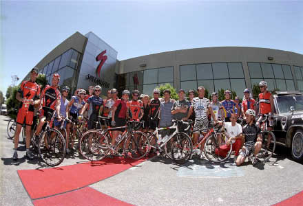


Lobby area.


Another shot of the lobby area. It looked as though there were bikes of every year's model in there.


Specialized parking lot.


Instead of a solid white line, they have...


We drove around the building, peering inside, every room had a bicycle or bicycle frame in it. Every desk hutch has a helmet on it. I guess about every employee is a cyclist there.

File picture.


The rear of the building even has an obstacle / ramp course. Sorry, no more pictures as the batteries in my camera died. For serious testing, the factory riders go across Highway 101 to Henry W. Coe State Park (HWCSP). HWCSP is a huge park, with killer uphills and downhills, deep canyons, rivers to ford, etc. In the words of another rider, "Henry Coe is not 'get lost and miss dinner' big, Henry Coe is 'get lost and die' big." Map. HWCSP (348 km. sq.) is 55% the size of Singapore's total land area (632 km. sq.).

The visitor advisory by the California State Park Service says it all:


Hiking
On long hikes, be sure to take plenty of water and food. Some of the trails and roads on the more strenuous hikes are incredibly steep, which can make for slow going and trips that turn out to take longer than you thought they might. On warm days, take more water than you think you'll need, and don't forget to carry a map with you. Coe Park is a huge wilderness, and it's not that hard to take a wrong turn and get lost.

Mountain Biking
The park has 100 miles of roads and trails that are open to mountain bikes. The rugged terrain offers a variety of riding options ranging from moderately difficult to extremely difficult. There are practically no easy trails for bikes.

Horseback Riding
With over 80,000 acres of ridges and canyons and gorgeous views, Coe Park is a wilderness paradise for equestrians. If you plan to venture more than a few miles into the park, you and your horse should be in excellent physical shape and you should be prepared for steep, rugged terrain.


Oh, boy, that's like waving a red flag before a bull.
I guess Henry Coe is on my agenda now :)

Saturday, November 26, 2005

Turkey Day Ride


Decided to go on an easy afternoon ride on this national holiday. Parked in the usual lot across McClellan Road, assembled my bike and I was off.


Map of the ride. Near the upper left hand side, Page Mill Road descends to the rear of Stanford University and Palo Alto. Skyline Boulevard / Highway 35 leads northwards towards San Francisco. Below, Highway 9 leads southwestwards towards Santa Cruz and the Pacific Ocean. Apple and Symantec are pretty nearby too :)


TOPO's elevation profile of today's ride. 853 track points (blue diamonds) from the GPS unit. Error factor increased quite dramatically in the canyon as the unit could only "see" one satellite (or sometimes none at all) due to the canyon walls.


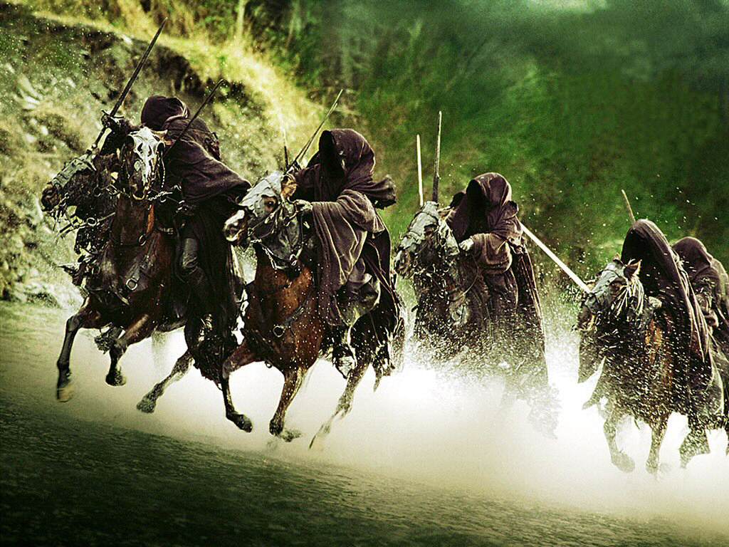
Elevation 1205 feet: for some reason, this section of the trail always reminds me of that scene in Lord of Rings, where Frodo and his friends were hiding from Ring Wraiths.


First of the two stream crossings. The rocks were put there by hikers.


Lingered here for a half-hour or more, listening to nothing but the bubbling brook and the rush of the wind in the trees...


Onwards and upwards.
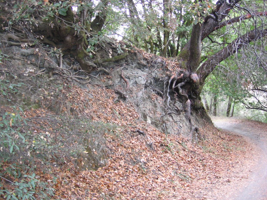


Elevation 1245 feet: streets trails paved with gold. The leaves hide many interesting surprises too. E.g. boulders, roots, holes, etc.


Leaving Stevens Canyon Trail, getting on Grizzly Flat Trail. Very few pictures as I was pressed for time (sunset at 4:51PM). For some strange reason, on the climb up, I was thinking of zeenie's Fortune nuts. I don't know why. I mean, I had a lot of water with me... Maybe it is because I skipped lunch. What is it with guys and round, soft and smooth objects? Hmm... *grin*


Second stream crossing. This is a file picture as my camera lens kept fogging up near the cold water. Why Grizzly Flat? About 100 feet up is a flat platform where Grizzly bears lived during the 1800s (but are now extinct).


Elevation 2325 feet: Grizzly Flat Trailhead at Skyline Boulevard / Highway 35.


Across the 2-lane-highway is the Long Ridge Open Space Preserve. North is to the right.


Epilogue:
Total distance: cyclo-computer 21.3 miles (34.08 km) / GPS 21.36 miles (34.18 km) / TOPO! 21.85 miles (34.96 km).
Total elevation climbed: Altimeter 2570 ft (783.54 m) / GPS + TOPO! 3002 ft (915.24 m).
Temperature range: 62 F to 51 F (16.6 C to 10.6 C).
Fluids consumed: 1 liter.


Postscript:
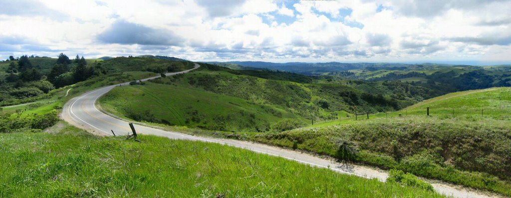
This write up reminded me what a gorgeous road Skyline Boulevard / Highway 35 is. With shaded and foggy sections like these,


to wide open views like these,


it is bliss on wheels.
I can hardly wait to visit this old friend again.