Riding Bolinas Ridge Trail today. It is listed #28 on Mountain Biking Northern California's Best 100 Trails.
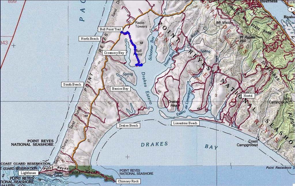
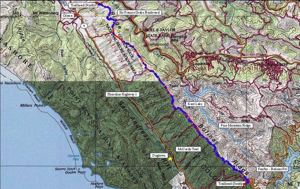 Map and route of Bolinas Ridge Trail. 250 track points laid by the GPS unit.
 TOPO!'s elevation profile.
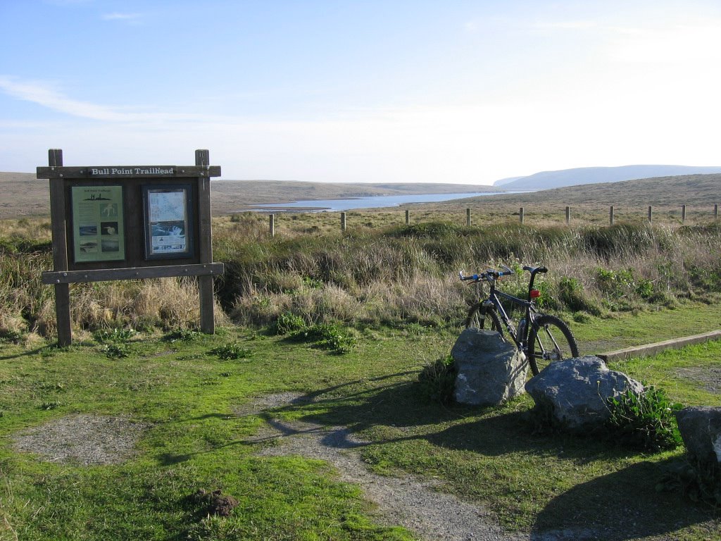
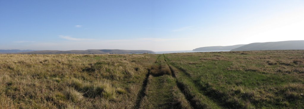
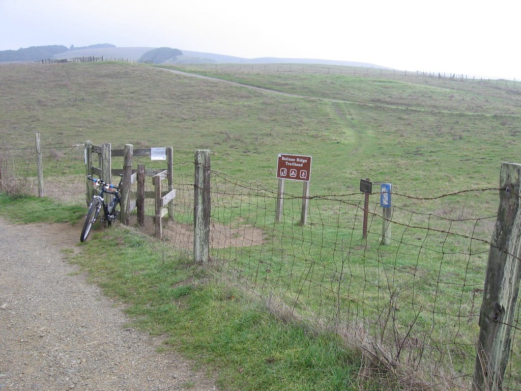 Northern trailhead off Sir Francis Drake Boulevard. Started at 11 AM. Temperature was 46 F (7.7 C), without taking windchill into account. Discovered to my chagrin that I left my vest back at the hostel. Grrr. Thank goodness for my windbreaker.
 Wider view. It is a sight to behold when the coastal fog blows in.
 Trail sign.
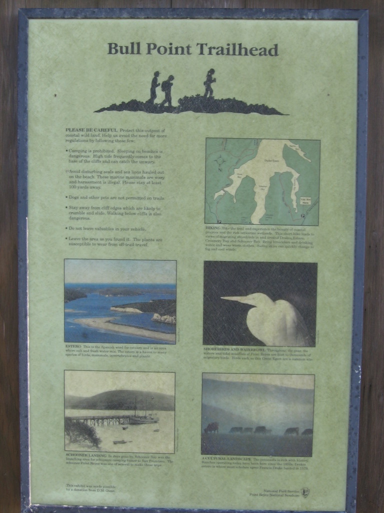
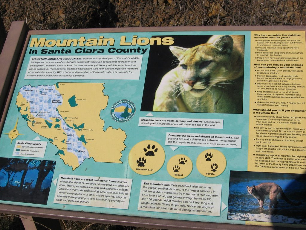
 Trail warning. Now I know why some cranky cows on Bull Point Trail refused to yield and tried to headbutt me instead.
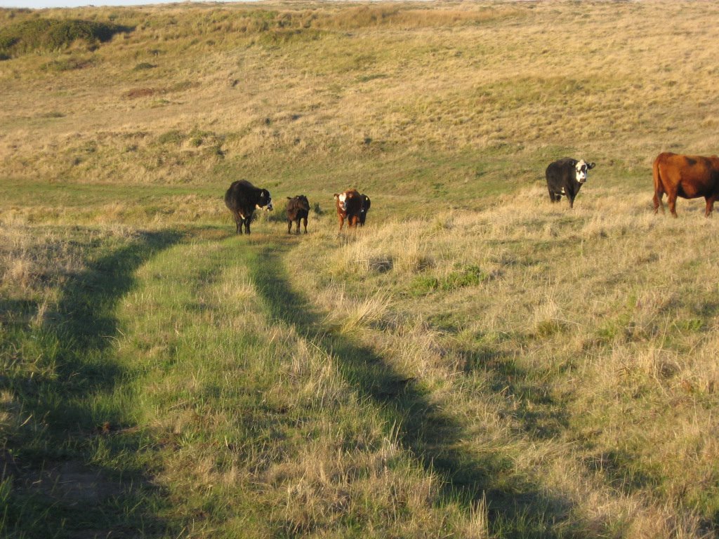
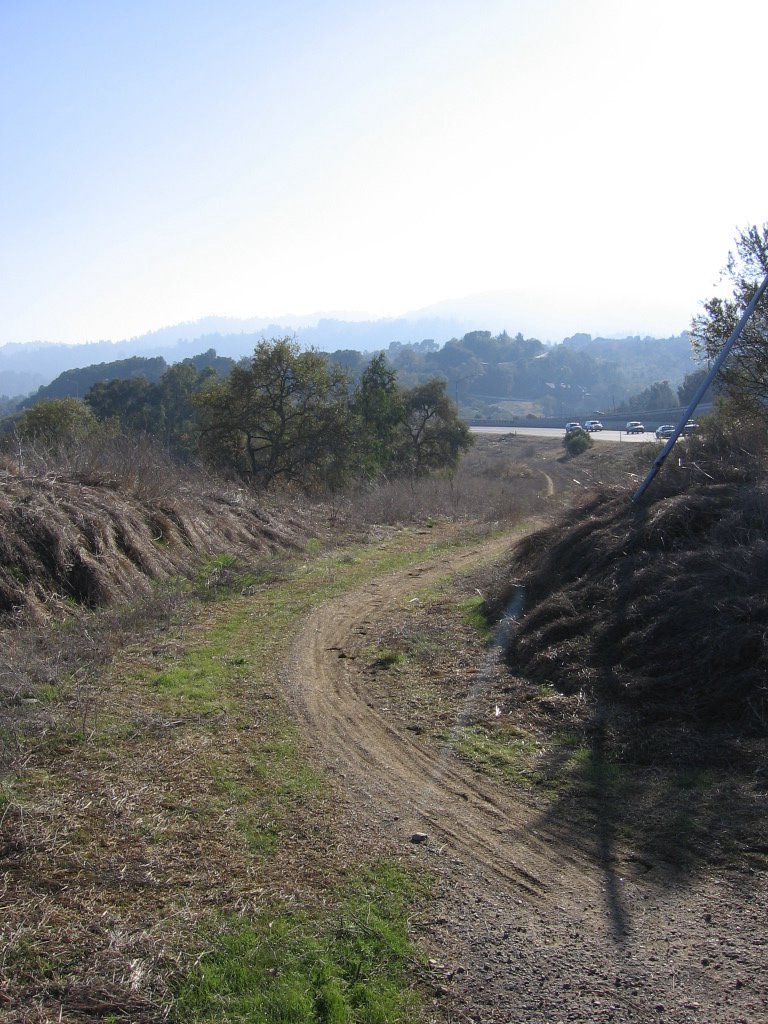
 Gentle climbs over pastureland. On the right, cows in the distance.
 After the 1st brief climb. This spot reminds me of New Zealand's South Island: beautiful, isolated, secretive, and subject to the vagaries and whims of micro-climates.
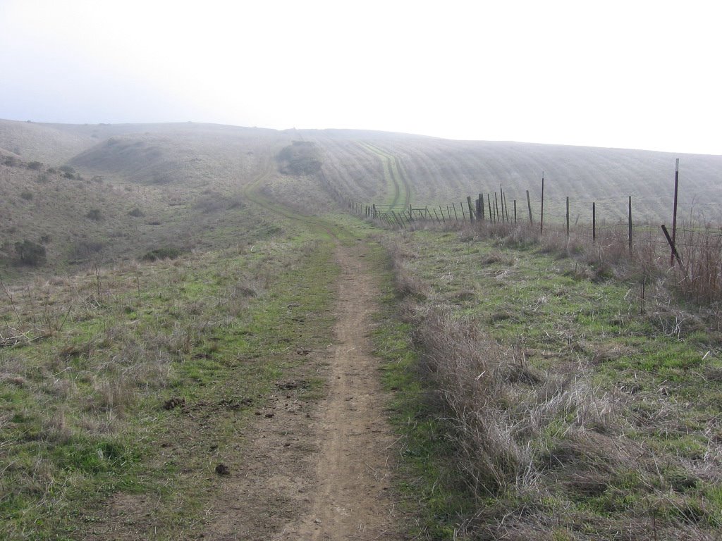 2nd climb. Though it gets steeper near the top, it isn't as long a climb as it looks. Or maybe it's just that I had a good breakfast and am full of energy...
 Elevation approximately 914 feet: a pond at the foot of a knoll on this ridge.
Back in Santa Clara, as I am composing this write up, an old man hobbled on the sidewalk, past my window, trailing his oxygen tank behind him on a dolly. The soundtrack to the film adaptation of Kazuo Ishiguro's The Remains of the Day is playing on my sound system. The sight of the geriatric, the melancholy music, coupled with the approaching twilight, make me think about how little time we have on this earth to appreciate her ineffable beauty and august majesty. We are here for a while, and then we are gone. How little time to stroll, to bike, to hike, to climb, and leap with the impunity of youth, the ignorant audacity of naivete, in forests, mountains, canyons, across streams and rivers, before we are wrack and bent by time, and hobble, half-blind, wheezing and hacking to our graves.
I guess I am selfish in that way — I will not sacrifice my youth, my health, my wealth for someone's so-called greater cause. I will be no one's beast of burden: financial, intellectual, spiritual or otherwise. Look somewhere else for your martyrs (or coolies: cyber or otherwise). This ship has its own captain, and he only follows his own orders. Go rehearse your timeshare sales pitch somewhere else.
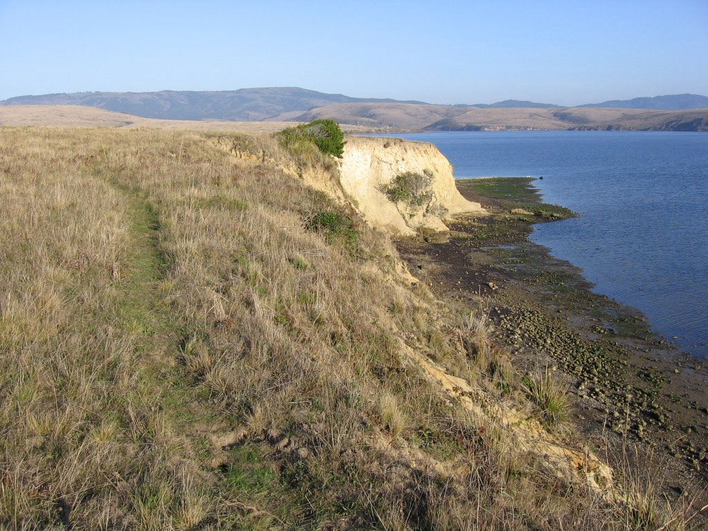
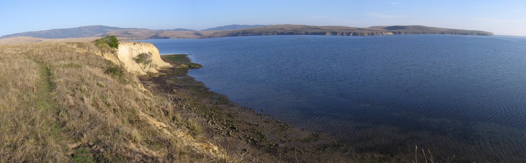
 Climbed up the knoll by the pond. Looking back where I came from. The ridge I am standing on is Bolinas Ridge. The ridge directly across is Inverness Ridge. Behind it is the Pacific Ocean. The valley between these two ridges is Olema Valley. The active San Andreas Fault / Rift lurks under idyllic Olema Valley.
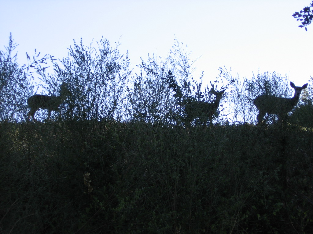
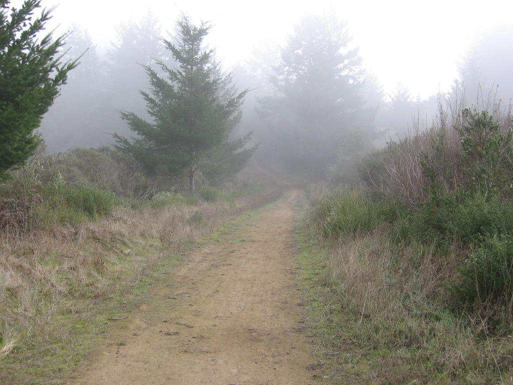 Leaving pasture land and skirting the edge of the forest. Spotted a herd of Fallow deer in the distance, but they dashed away before I could get close enough with my camera.
 Trail flanking the forest.
 Trail entering forest.
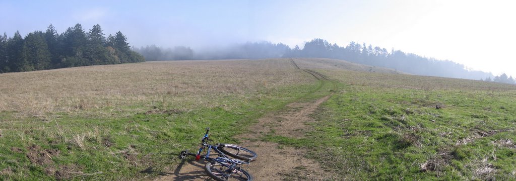 Wider view.
 Looking back.
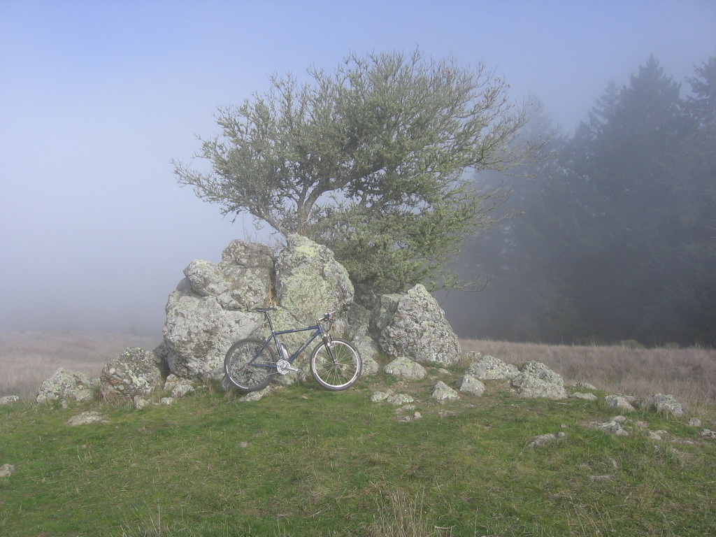 A popular resting spot.
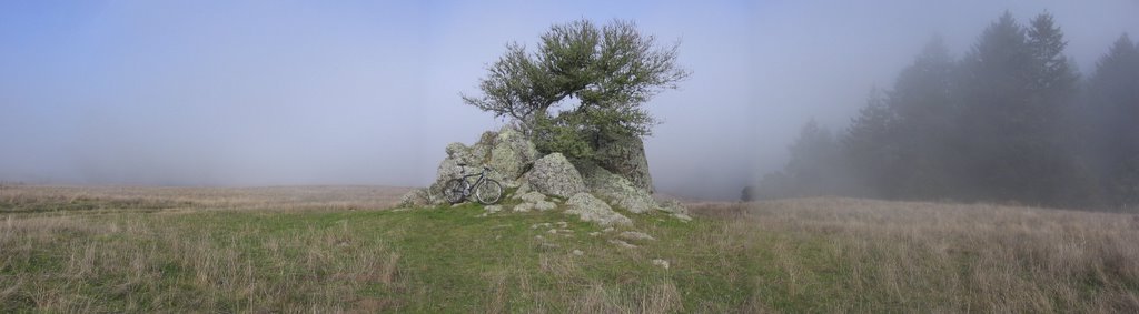 A wider view.
 Entering protected area: Mount Tamalpais Watershed.
 Entering Lothlorien. A Bobcat (Felis rufus) ran across the trail in front of me. It looked like a large, spotted kitten with a short, stubby tail.
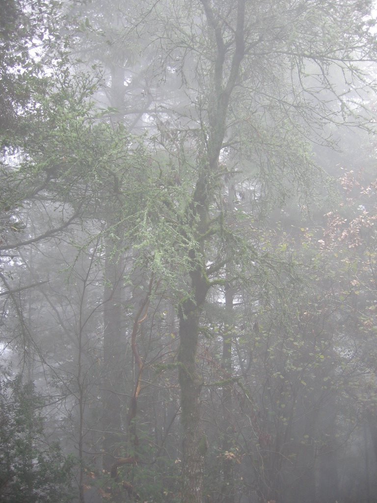 The rush of the wind through the forest is punctuated by the pitter-patter of water dripping down to the ground below. But it is not rain. The water comes from fog condensing on leaves and Spanish moss, gaining mass, and then dripping off. The process is called fog drip.
In some instances the dripping is as heavy as light rain, as sometimes occurs among the redwood trees along the coast of northern California. During the foggy but almost rainless summers of California, fog drip prevents an excessive aridity in the coastal forests. As much as 0.05 in. of water, equivalent to a moderate shower, has been collected from a California fog in a single night. (Source)
 A close up picture of a piece of Spanish moss that has fallen to the ground. It has no roots. It derives water solely from fog and dew. The strips are eucalyptus bark.
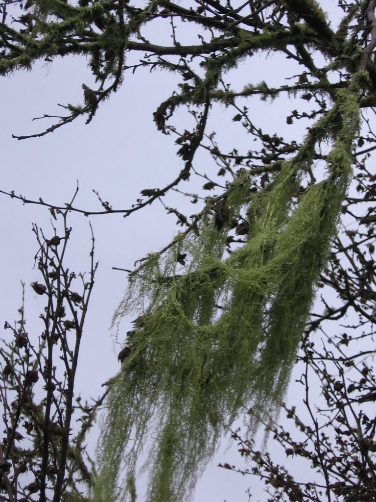 Another close up of Spanish moss, this time hanging off a tree.
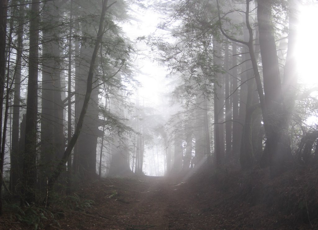 Inside the forest, the temperature is cooler, ranging from 37 to 39 F (2.7 C to 3.8 C), but there was no wind, so it evens out (unless you are blasting downhill on the return trip).
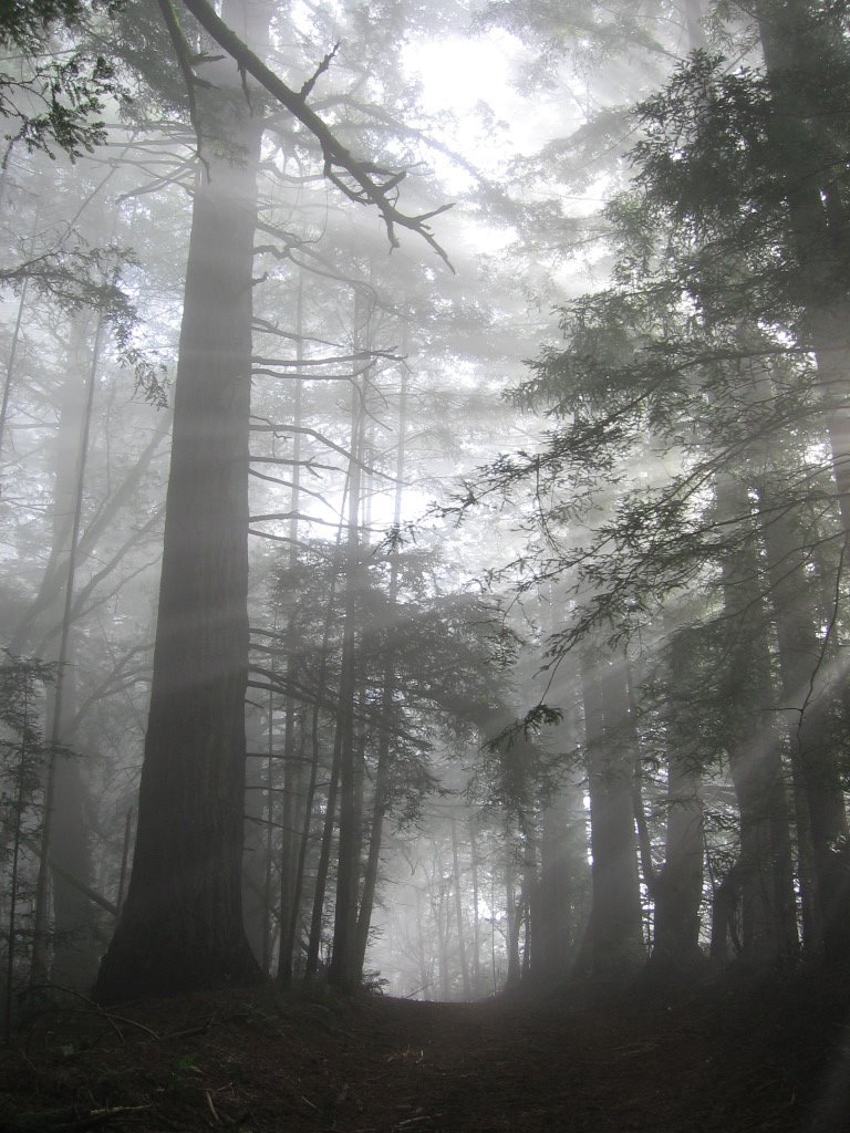 Words are inadequate in describing the experience of riding through this: I am bathed in light, and white, luminous fog; each full breath — powering every revolution of the wheels over the velvety-soft carpet of leaves — is steeped with the mingling, shifting scents of pine, redwood, douglas fir, and eucalyptus. I am moving, and yet the white, translucent air that I breathe is moving as well. I am utterly alone in this foggy forest, on this windswept ridge, on this misty mountain.
I don't want to get to the end of my life and find that I have just lived the length of it. I want to have lived the width of it as well. (Diane Ackerman)
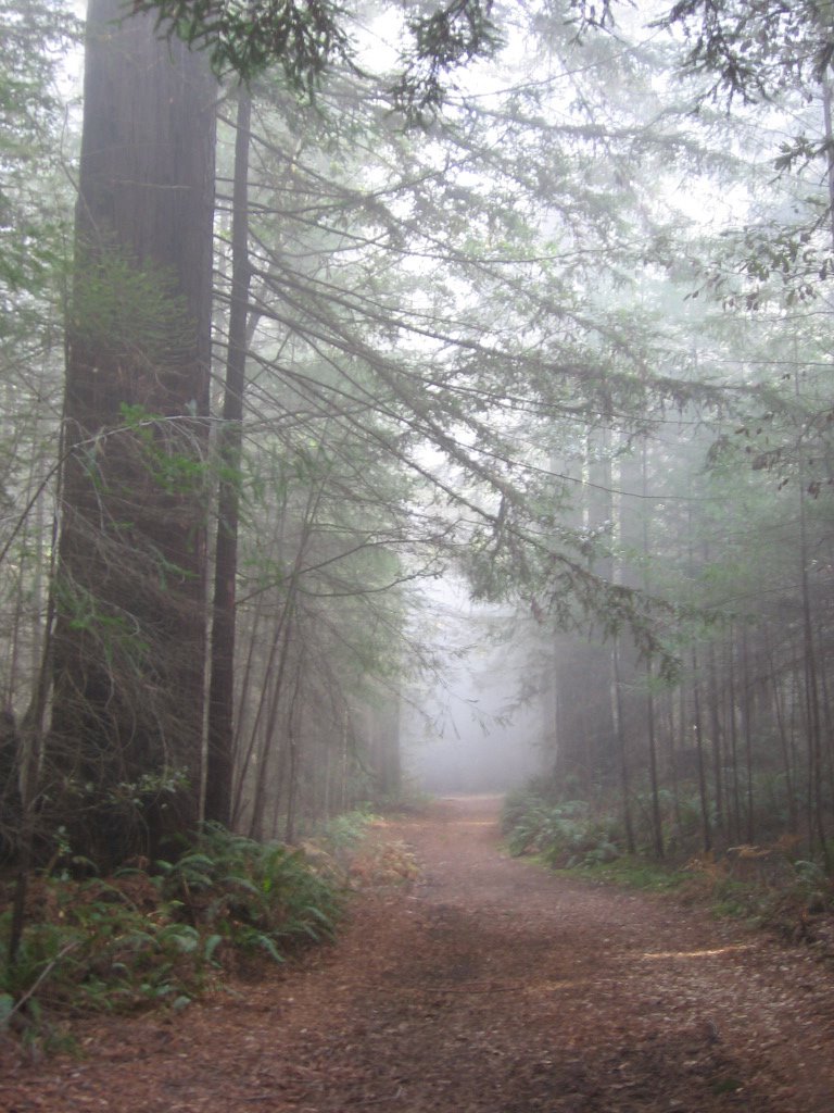 Going deeper into the forest.
 And deeper.
 And deeper.
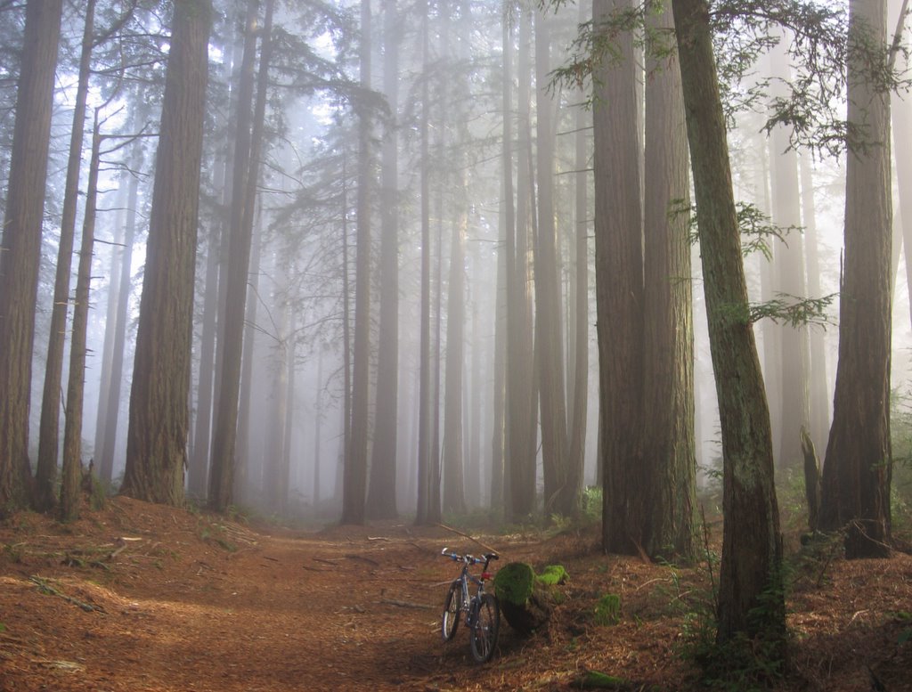 A clearing. I had to pinch myself several times to make sure the sight was real.
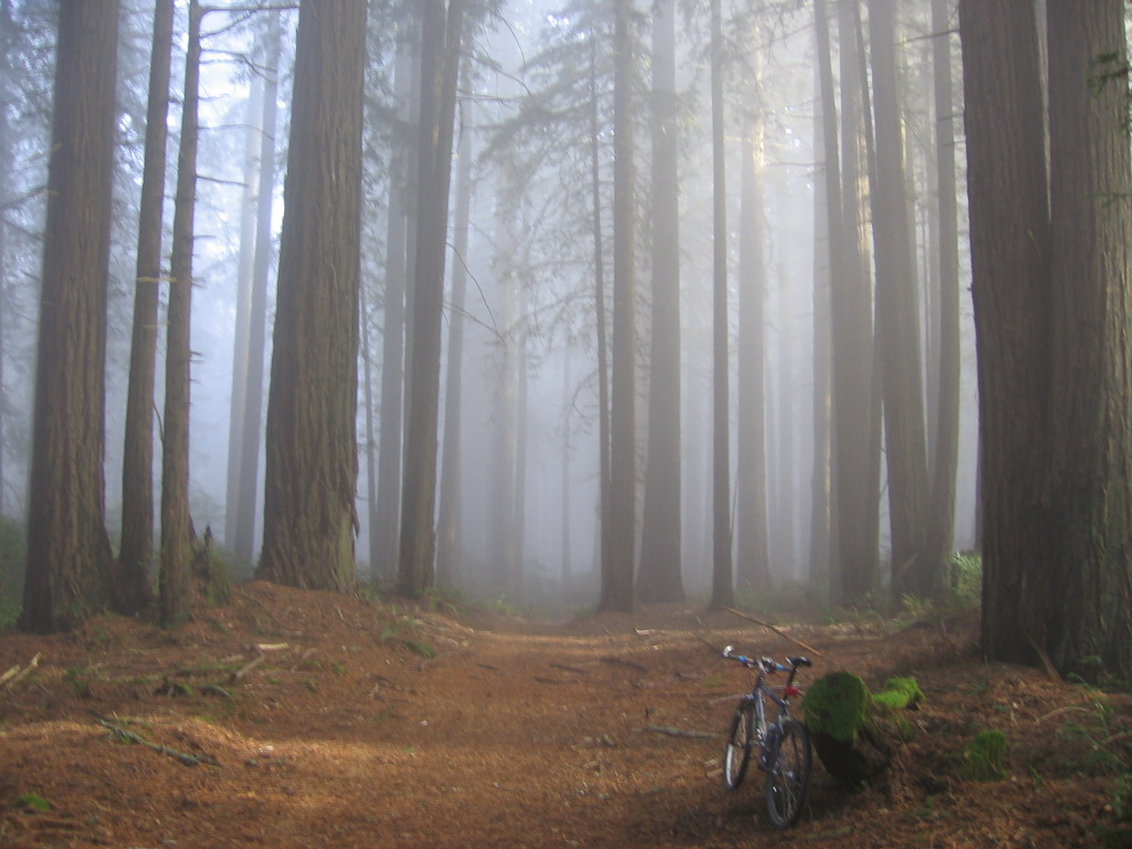 Close up.
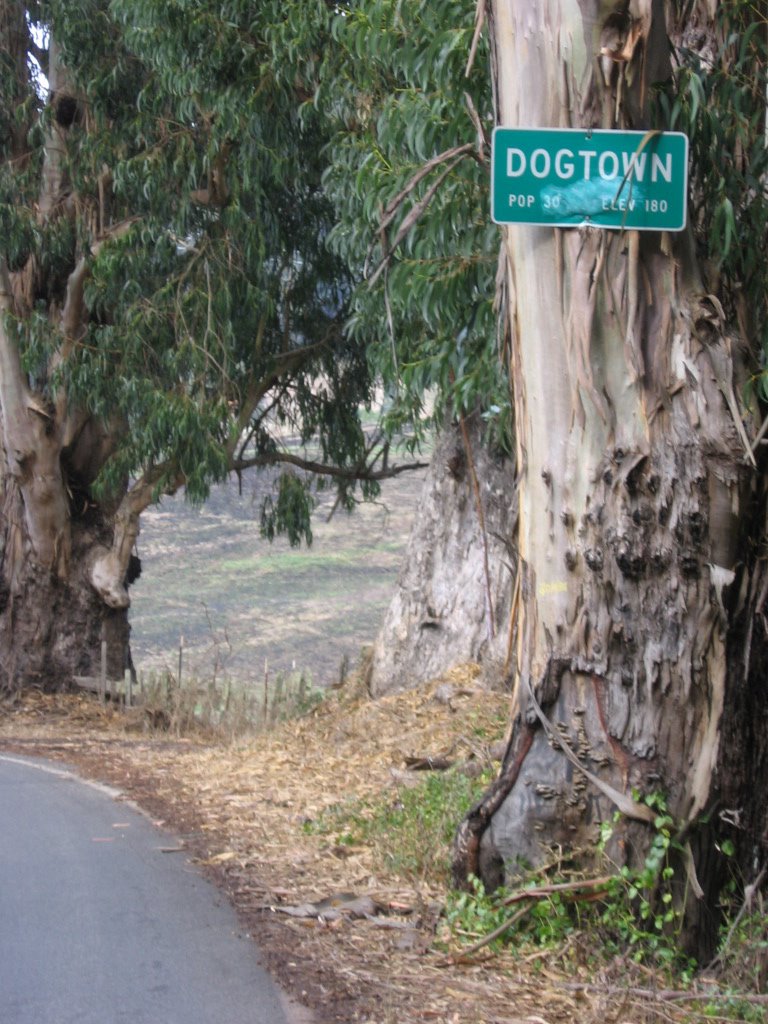
 McCurdy Trail connection. Woodville is another name for Dogtown. The trail drops 1180 ft in 1.8 miles to Dogtown.
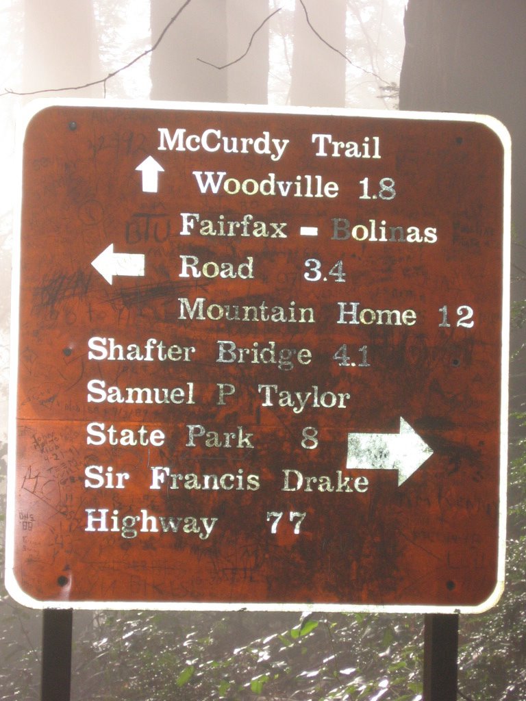 3.4 miles to Fairfax - Bolinas Road.
  A long 3.4 miles as I found out. Check out the magnified section on the right: 992 feet of climbing with an average grade of 10%. It felt steeper with the ruts, loose rocks and slippery tree roots though.
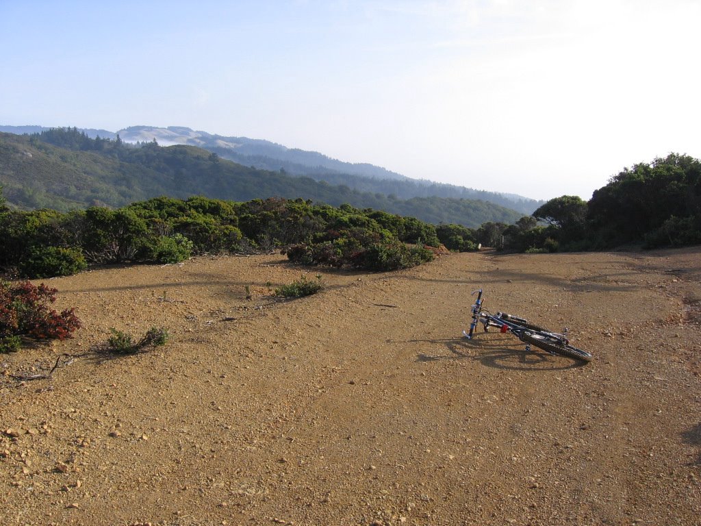 Exited the forest. Beginning a 250 feet rolling descent down to the southern trailhead of Bolinas Ridge Trailhead at Fairfax - Bolinas Road.
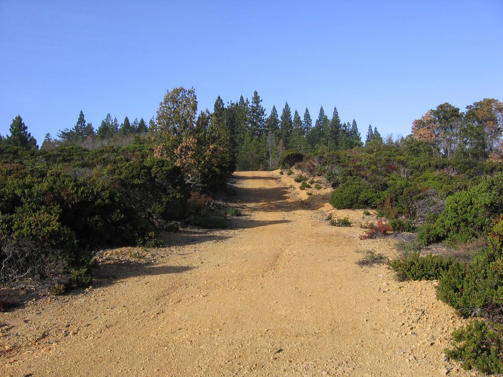 Looking back after having left the forest. Notice the change in vegetation from forest to chaparral.
 More rollers and 2 rutted downhills later: the southern end of the Bolinas Ridge Trail, at the sinuous Fairfax - Bolinas Road.
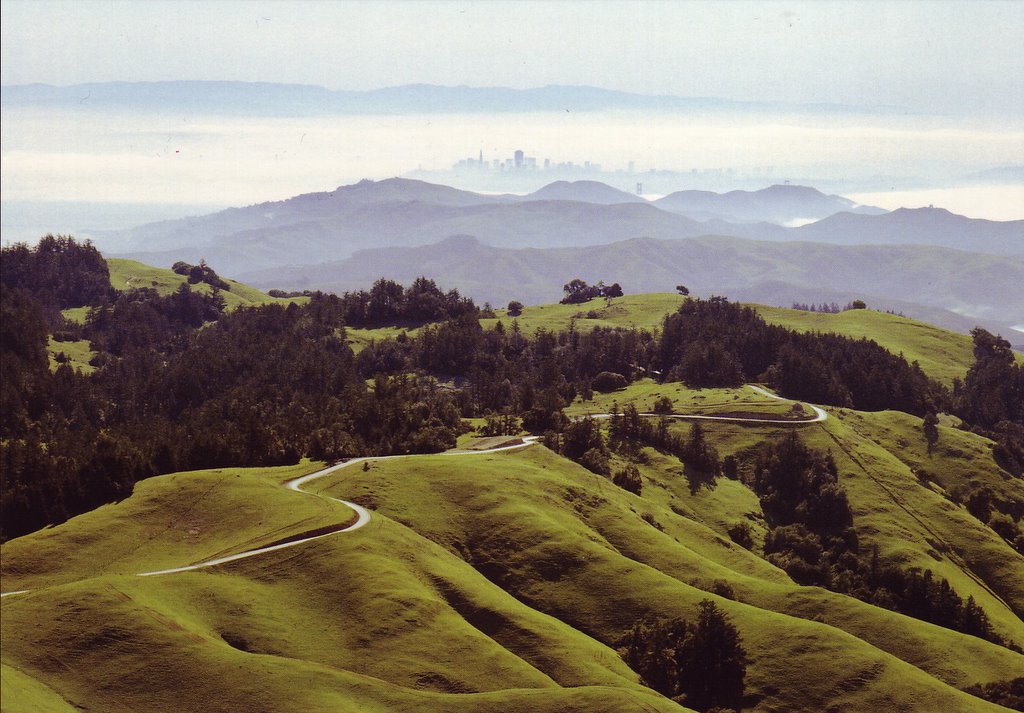 An aerial photograph. To the east, Fairfax - Bolinas Road snakes towards Fairfax in an endless series of hairpin turns. To the west, it drops 1500 ft to Stinson Beach in 5 miles. Bolinas Ridge continues southeastwards along the flanks of Mount Tamalpais and towards the Marin Headlands, with the very pretty West Ridgecrest Boulevard (above) running on top of it. Across the bay, San Francisco and her landmarks (e.g. Transamerica Pyramid) shimmer in the distance. Trivia: West Ridgecrest Boulevard is commonly used for filming automobile commercials.
 What the sign says: 11.3 miles (18.08 km) to get back to the Bolinas Ridge Trailhead at Sir Francis Drake Boulevard (where I parked my car).
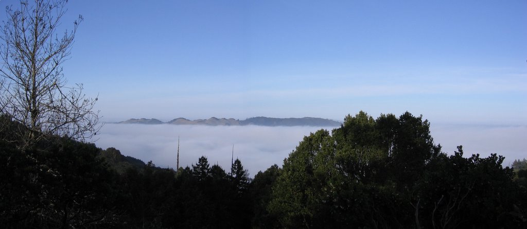 Back on the chaparral ridge, just before re-entering the forest, looking east: fog totally covering Kent Lake (elevation 500 ft) between Bolinas Ridge and Pine Mountain Ridge (elevation 1762 ft). Pine Mountain looks like an island now.
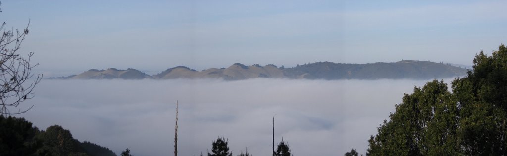 A closer look. Zoomed in. While nearby Mount Tamalpais (1) is generally recognized as the historic birthplace of the sport of mountain biking: the steeper and looser slopes of Pine Mountain Ridge and Pine Mountain were likely to be more instrumental in driving the evolution of early mountain bikes from single-speed to the multiple gearing systems we encounter today.
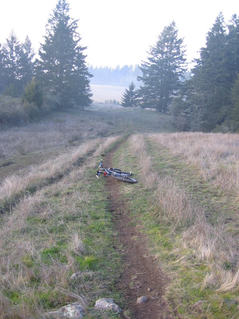 Leaving the forest towards open pasture land. Bush rabbits (Sylvilagus bachmani) and the occasional Black-tailed Jack rabbit (Lepus californiacus) hop out of my way as I bombed down the ridge. Trivia: When the Black-tailed Jack rabbit is running at moderate speed, every fourth or fifth hop is higher, allowing for a better view of the surrounding area.
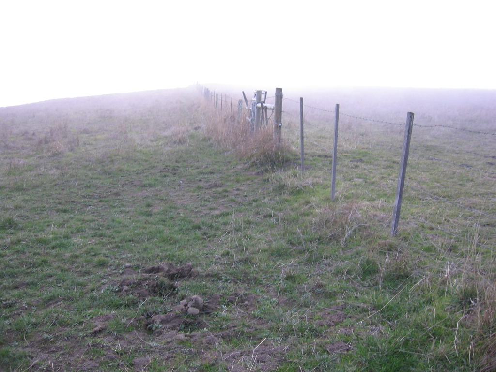 One more cattle gate to cross.
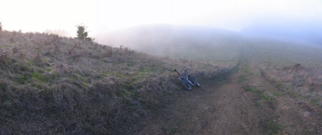 One more climb into the fog. And a rollicking good time bombing down the rest of the ridge back to the car.
The trail is isolated on weekdays. I met no one during the entire ride, save for a trio of ill-prepared novice mountain bikers on the last 2 miles of the ride who asked to borrow my pump.
Epilogue:
Total distance: cyclo-computer 22.8 miles (36.48 km) / GPS 22.43 miles (35.89 km) / TOPO! 22.50 miles (36 km).
Total elevation climbed: Altimeter 3350 ft (1021.3 m) / GPS + TOPO! 3317 ft (1011.28 m).
Temperature range: 37 F to 46 F (2.8 C to 7.8 C).
Fluids consumed: 1 liter.