Unusual ride today: driving 218 miles (348.8 km) to ride a 10.5 mile (16.8 km) long dirt road in Big Sur. Until the completion of Bixby Bridge in 1932, the Old Coast Road was the main road from Big Sur to Carmel. It goes over part of the Santa Lucia mountain range, which are slightly drier than the Santa Cruz mountains further up north. Nonetheless, coastal redwoods are still found in its valleys. Click on the pictures for a larger view.
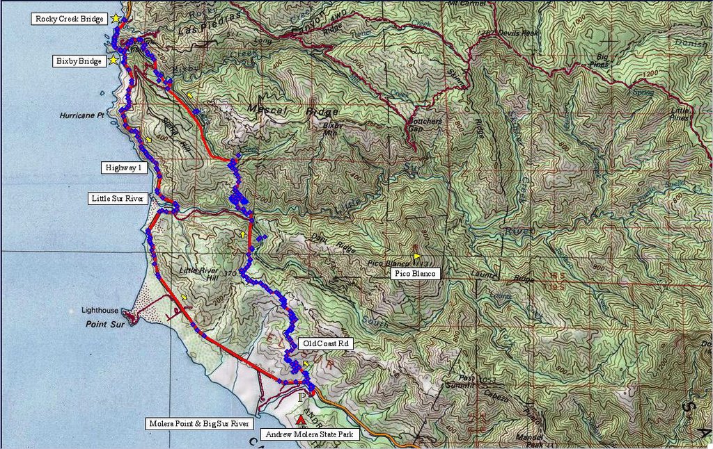 Map of the ride. 250 track points laid by the GPS unit.
 TOPO!'s elevation profile.
 The entrance to Old Coast Road is across Highway 1 from Andrew Molera State Park. Temperature is a pleasant 55 F (12.8 C).
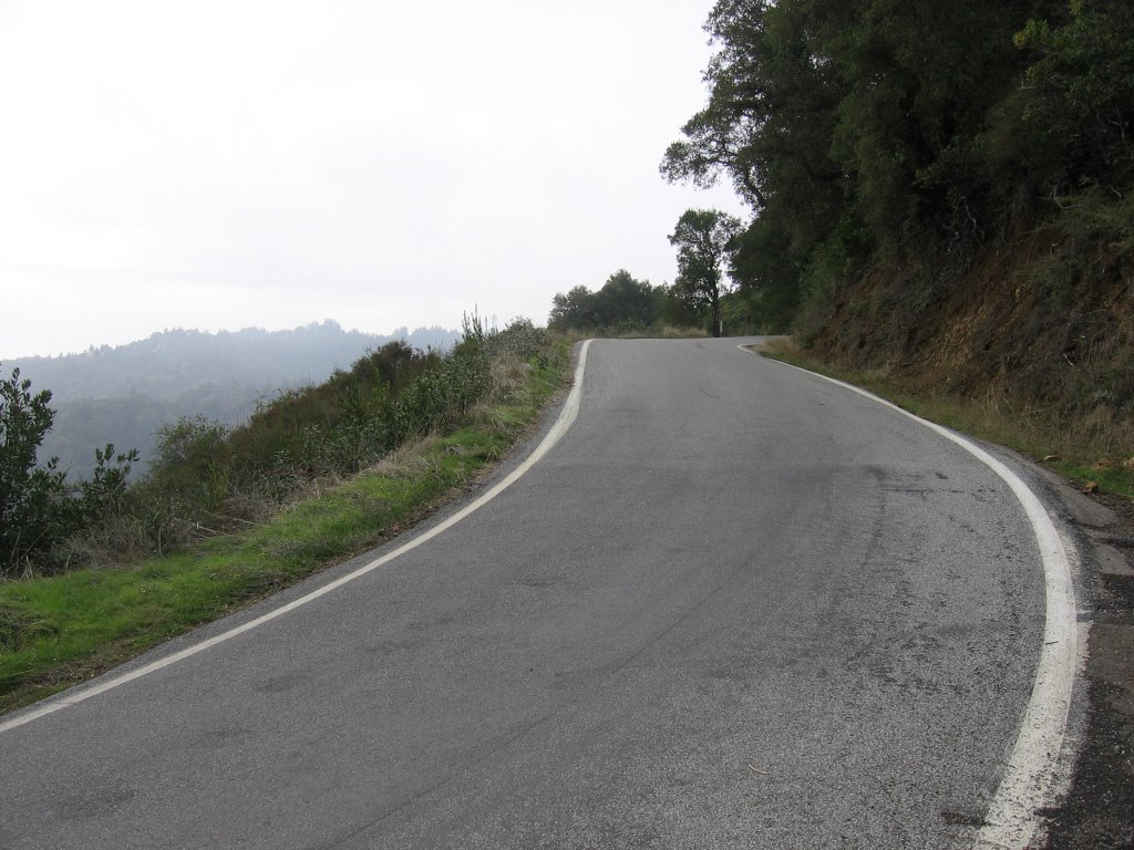
 Looking back: Old Coast Road starts climbing immediately.
 A wider view. On the right is Highway 1, and the structure beside it marks the approximate location of the Andrew Molera State Park parking lot.
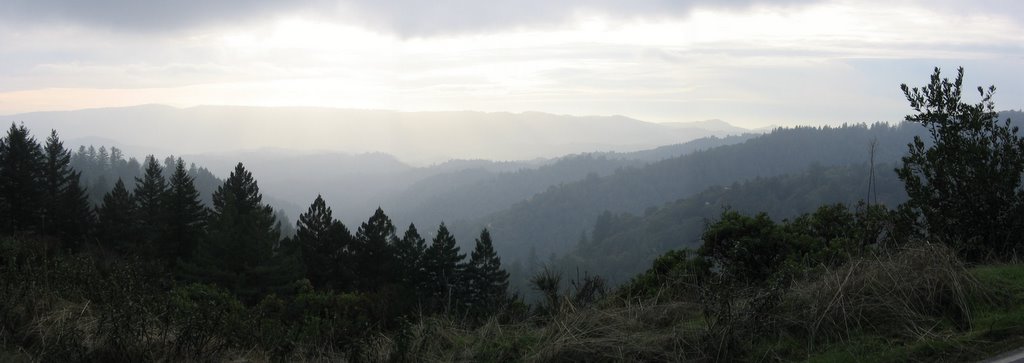
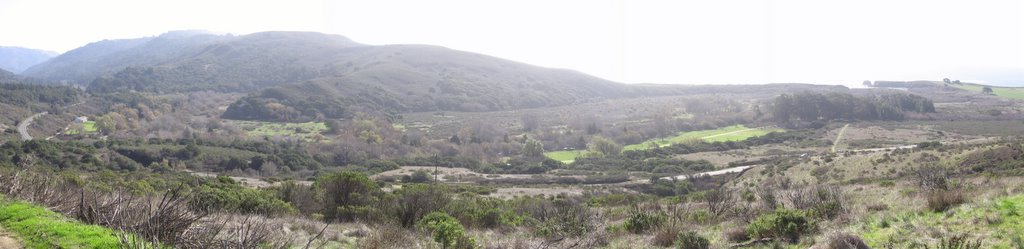 Looking west.
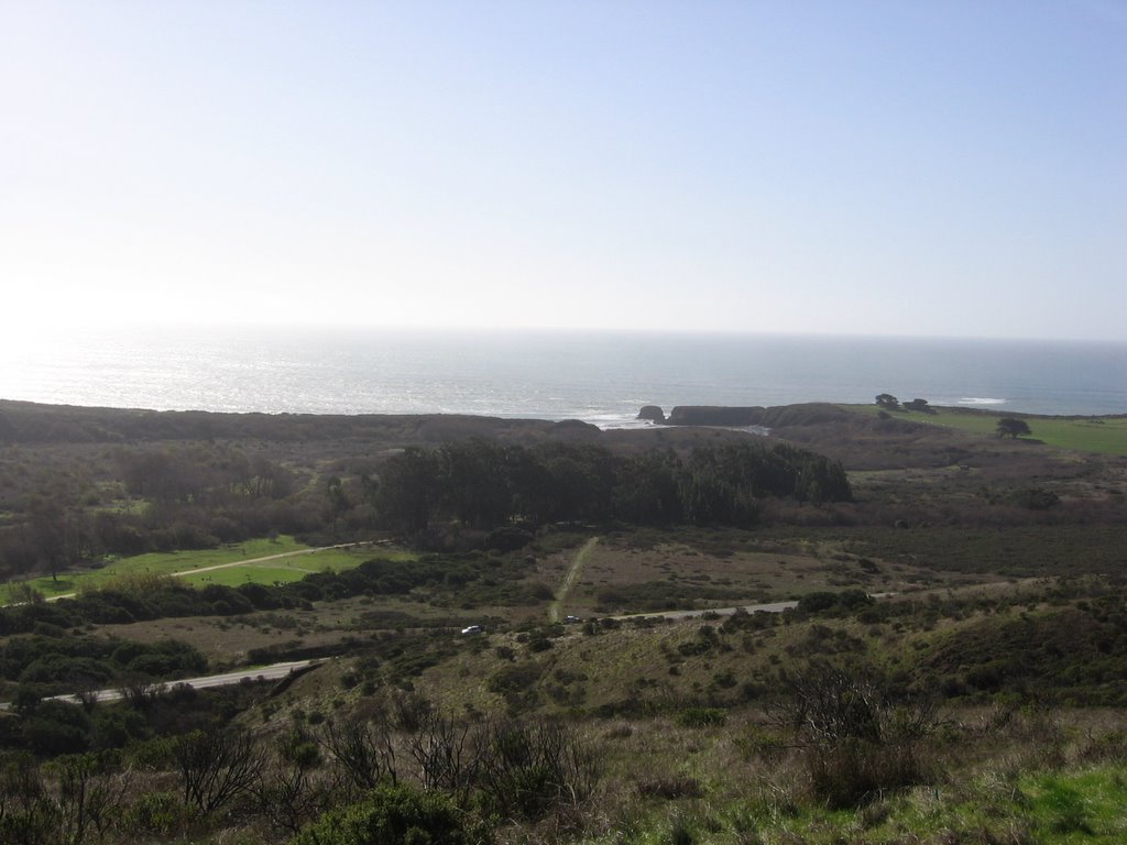 A closer look: Big Sur river empties into the Pacific Ocean at Molera Point. Andrew Molera State Park's campsites are located within the groove of trees.
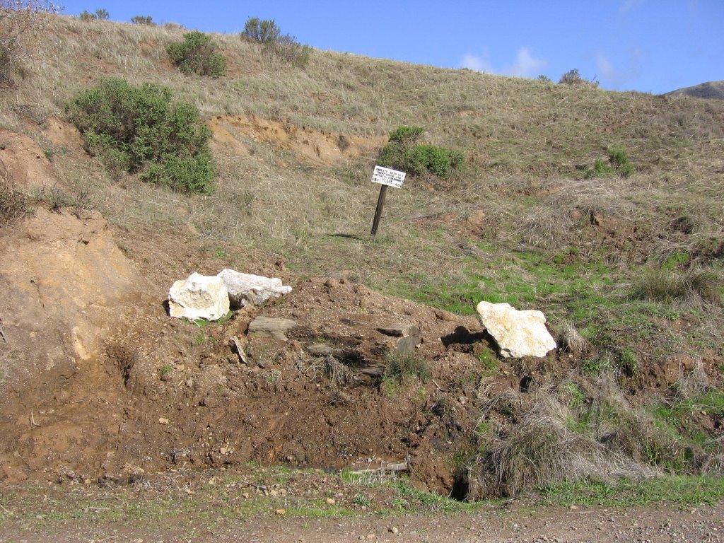 "No Trespassing" and "No Loitering" sign: private property on both sides of the road for the next 6 miles. The 3 boulders are a form of white limestone, from the same monolith as a nearby mountain, Pico Blanco.
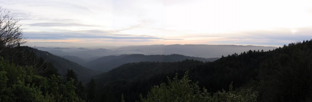
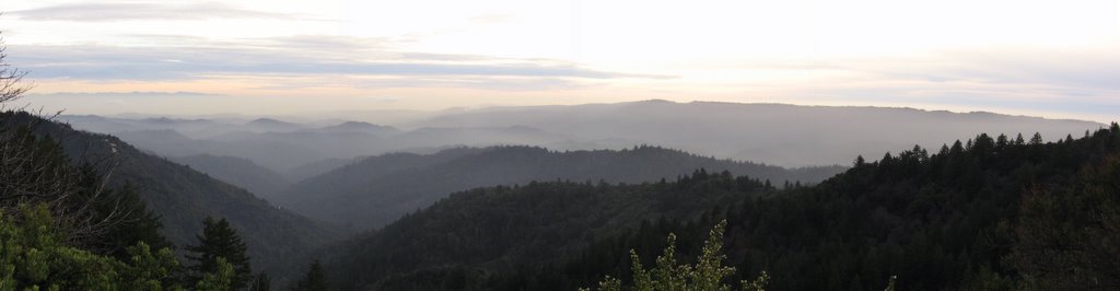
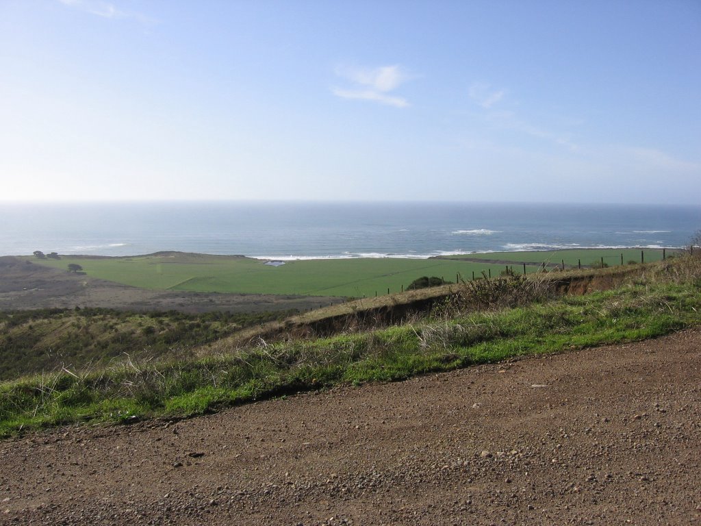 Gorgeous view as one climbs up the 1st ridge (953 ft).
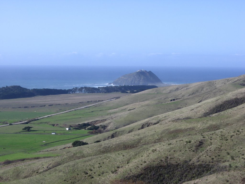 Point Sur in the distance. Being a navigational hazard, a lighthouse was erected 361 ft above the water on this huge piece of igneous rock in 1889.
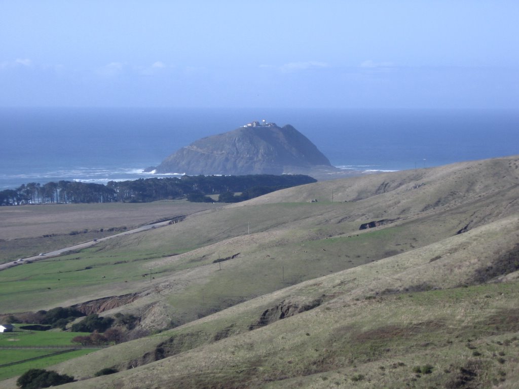 A closer look at Point Sur. A little history about this place.
 A brief and gentle downhill.
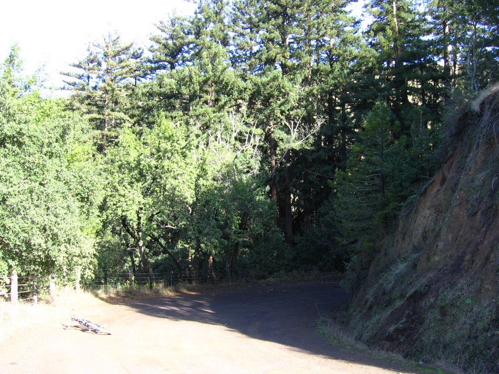 Entering the first of many forested glens: oak, madrone and bay laurels ultimately give way to pine and coastal redwood (Sequoia sempervirens).
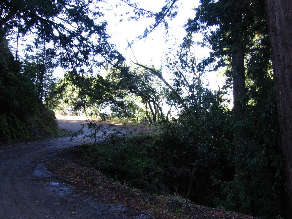 Looking back.
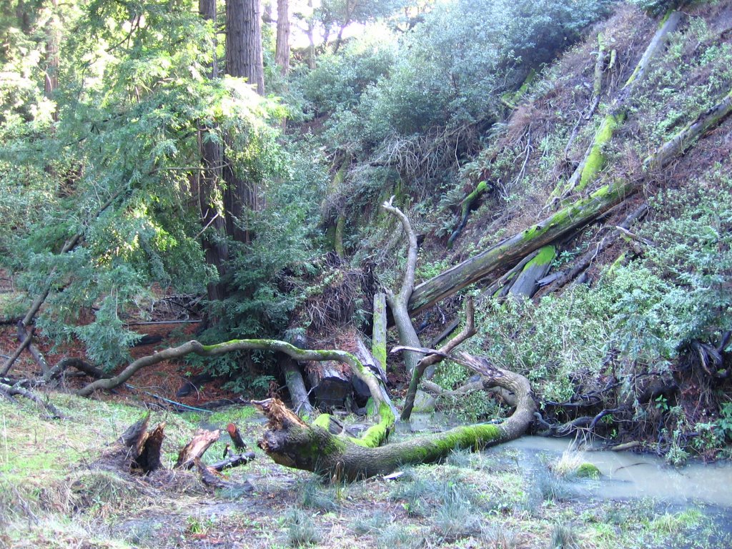 After the relative aridity of the exposed flanks of the ridge, the cool humidity of the redwood forest is like being in another world. The standing water is from the previous night's rain and fog drip. Temperature is at 53 F (11.7 C).
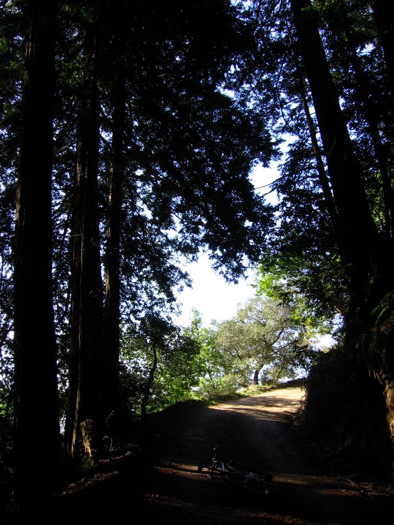 Leaving the shade.
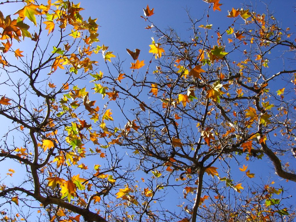 Decided to take my break under the sunshine before another round of climbing.
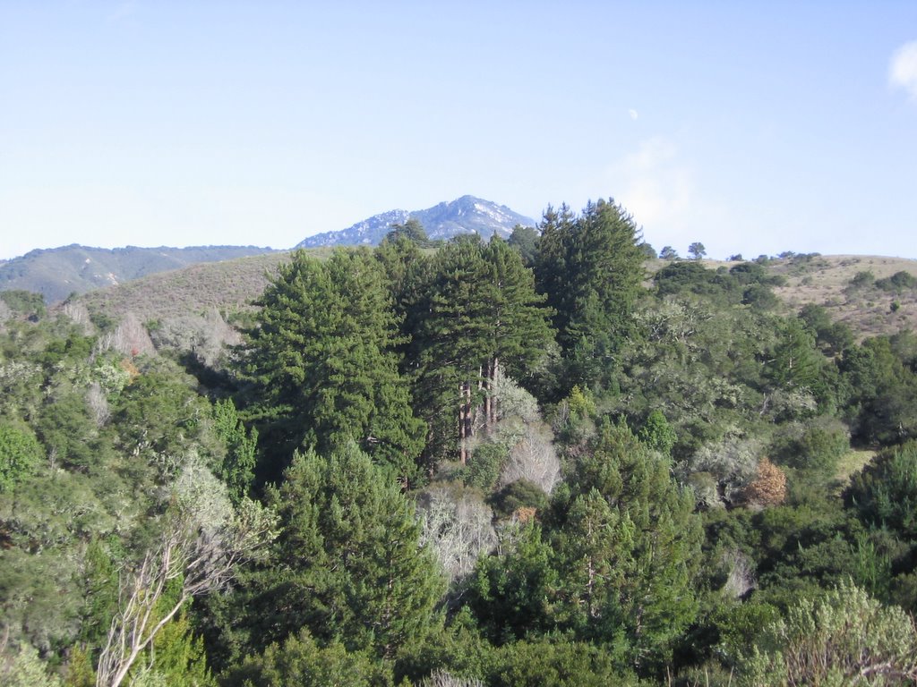 600 million tons of white-gray marble sitting on top of a billion tons of high-grade limestone form the distinctive white peak of Pico Blanco (Spanish for "White Peak"). Native tribes such as the Ohlones believed that Coyote, the Creator of people and other creatures, lived here.
 Pico Blanco, the "White Peak," is sacred in the native traditions of the Rumsien and Esselen. One of the few stories that survives from these cultures involves the destruction of the world in a great flood. When the waters rose, this summit was the only land that remained exposed. Here, Eagle, Crow, Raven, Hawk, and Hummingbird met. Hawk plucked a magical feather from the head of Eagle, and carrying it, dove to the bottom of the sea, and planted the feather in the Earth. This caused the waters to recede and recreated the world.(Source)
The mountain is privately owned by the company, Granite Rock. Their efforts to quarry it for marble and limestone have been repeatedly thwarted by environmentalists.

Another view of Pico Blanco (photo credit: Jazz Inmate).
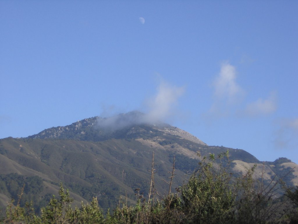 Under an early moon, Pico Blanco's 3709 ft (1131 m) peak is partially obscured by a passing cloud. Spotted some large California Condors (wingspan up to 9 ft / 3m) soaring in the skies, but my camera was not capable of capturing them. I love this birdwatching guide :P
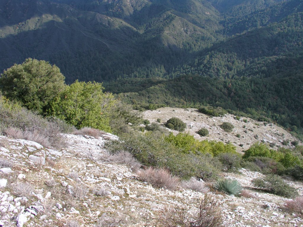 Although Pico Blanco (and it's summit) is private property, its policy against trespassing is poorly enforced (maybe its owners realize that they will never get to quarry the mountain). As a result, people do climb Pico Blanco. This is the view from the summit looking down at the road (upper left hand corner) where I took the previous 2 pictures from.
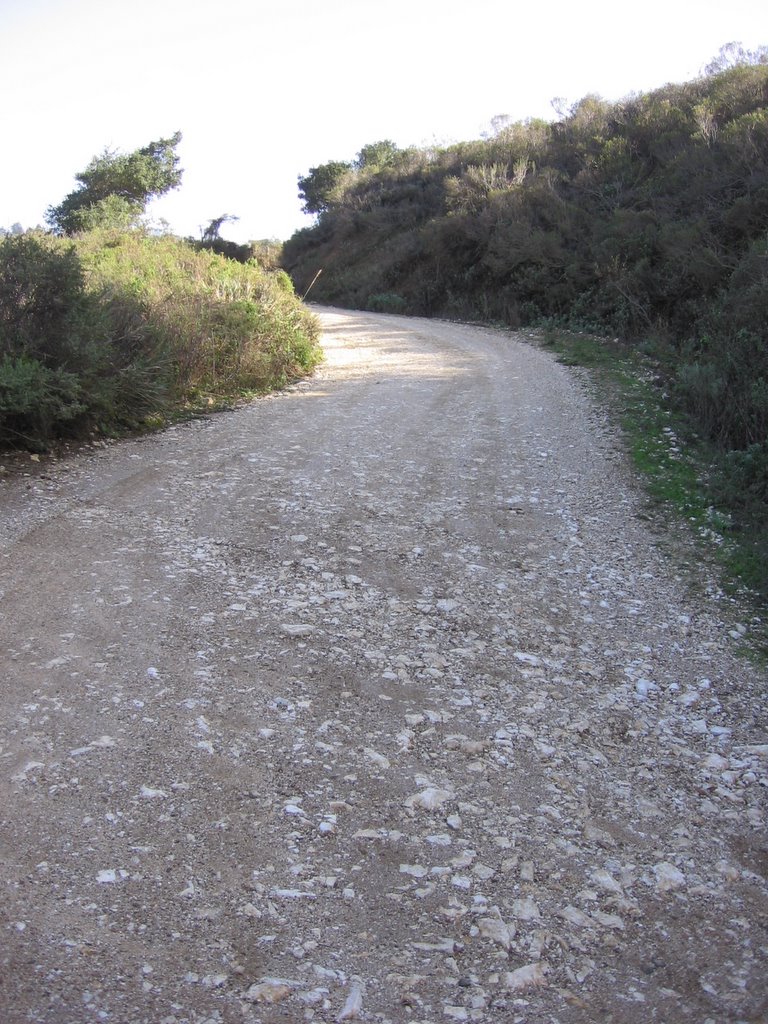 The real downhill (from the 1st ridge) begins. View is looking back up. Notice the abundance of white limestone on the road.
 Passing a bubbling brook in a redwood forest.
 I like this picture too.
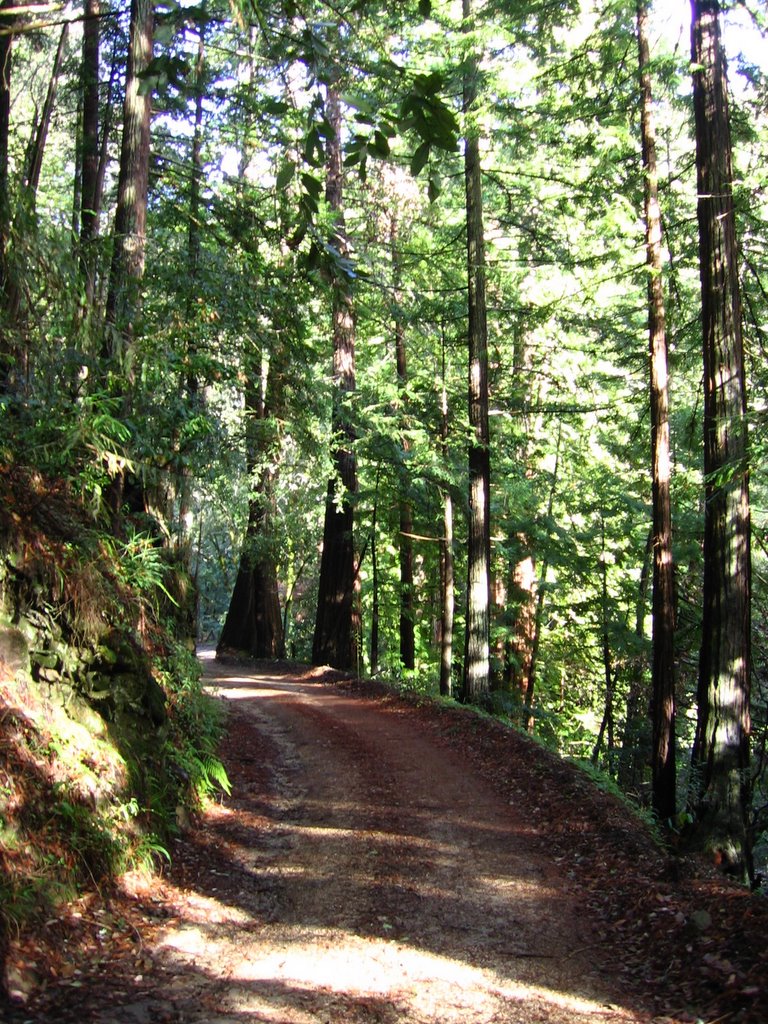 Forest grows denser as I descend deeper into Little Sur valley.
 Little Sur river below.
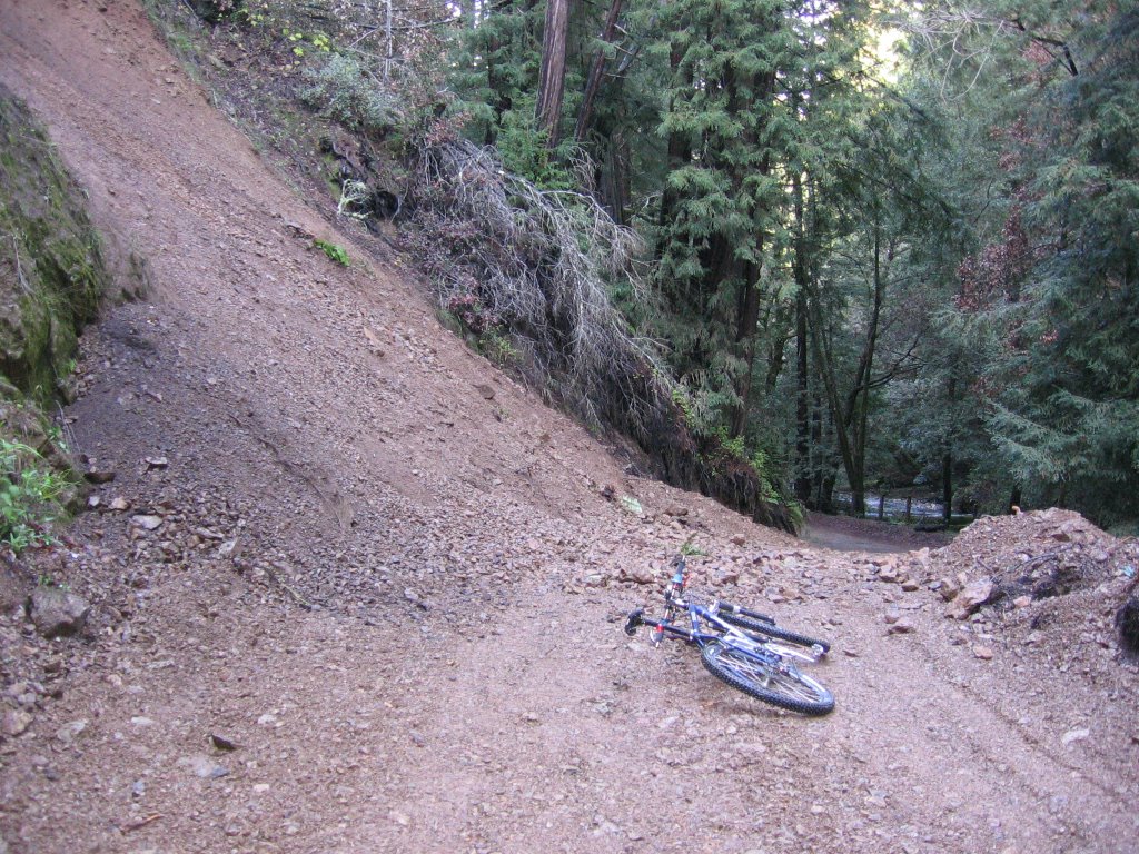 Landslide. A marble-sized rock actually bounced off the top of my helmet as I was taking this picture. Decided to move on before its larger cousins decide to do the same.
 Little Sur river.
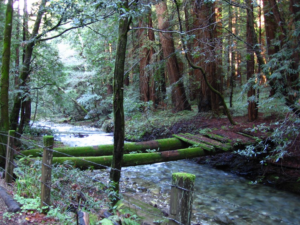 An abandoned bridge.
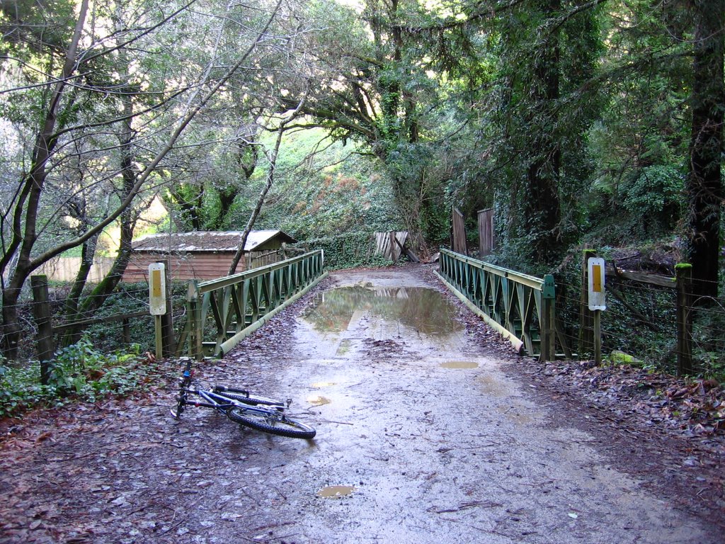 Elevation 100 ft. Bridge over
  The climb up the 2nd ridge, called Sierra Grade, begins immediately after crossing the bridges over Little Sur and an unnamed river.
  Rising to 1210 ft, the climb is not only rather steep, with a grade of 16%, but is also unrelenting all the way to the top.
 Elevation 800 ft. Another view of Pico Blanco. On its way down to Little Sur river, Old Coast Road actually traverses part of the ridge on the right. Temperature is a little higher here, at 57 F (13.9 C).
 A closer look at the previous downhill to Little Sur river.
 Looking at Little Sur valley extending towards the Pacific Ocean.
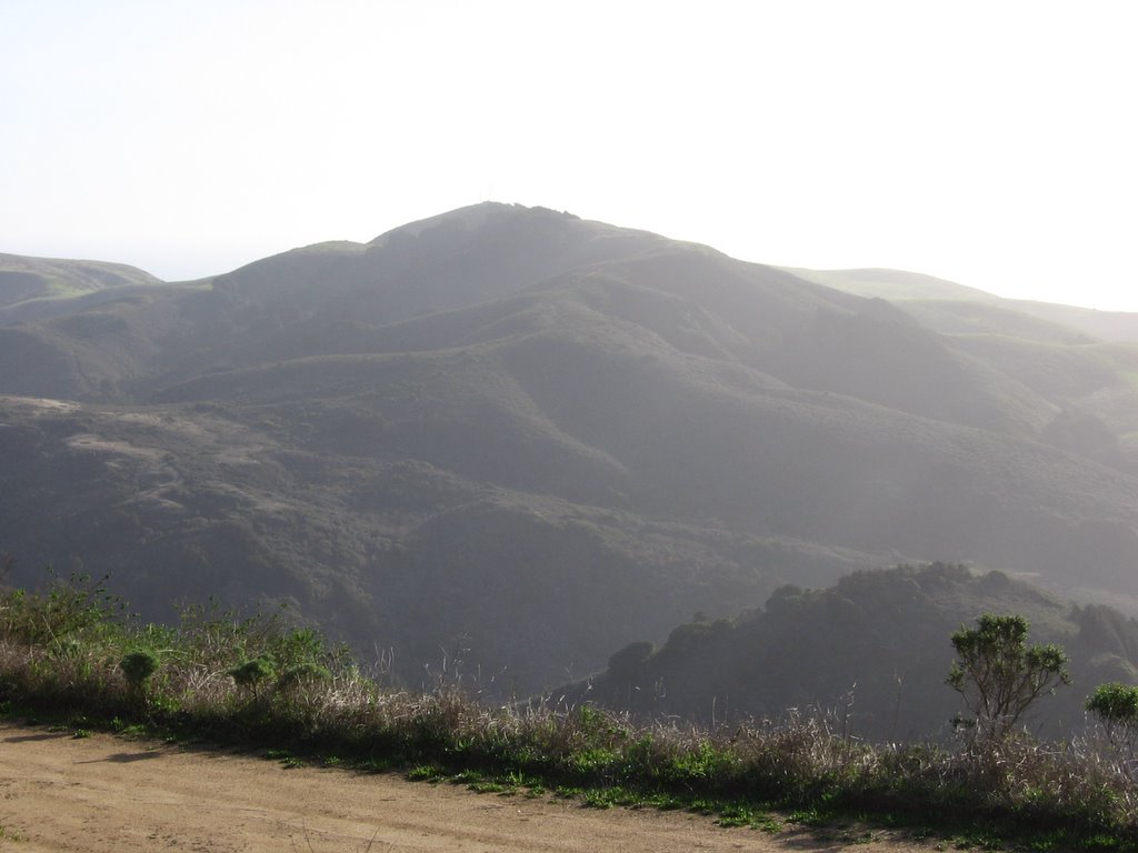 Elevation 1210 ft: the top of Sierra Grade.
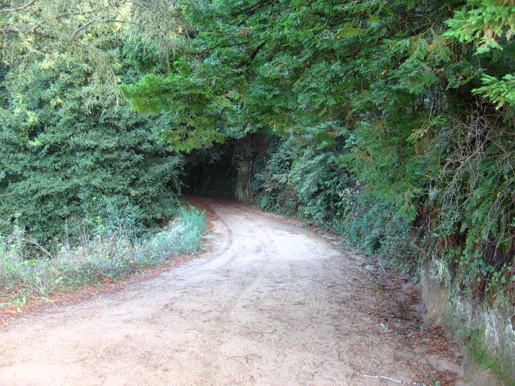 A gentle downhill into Bixby Canyon, flanked by old-growth coastal redwoods on either side.
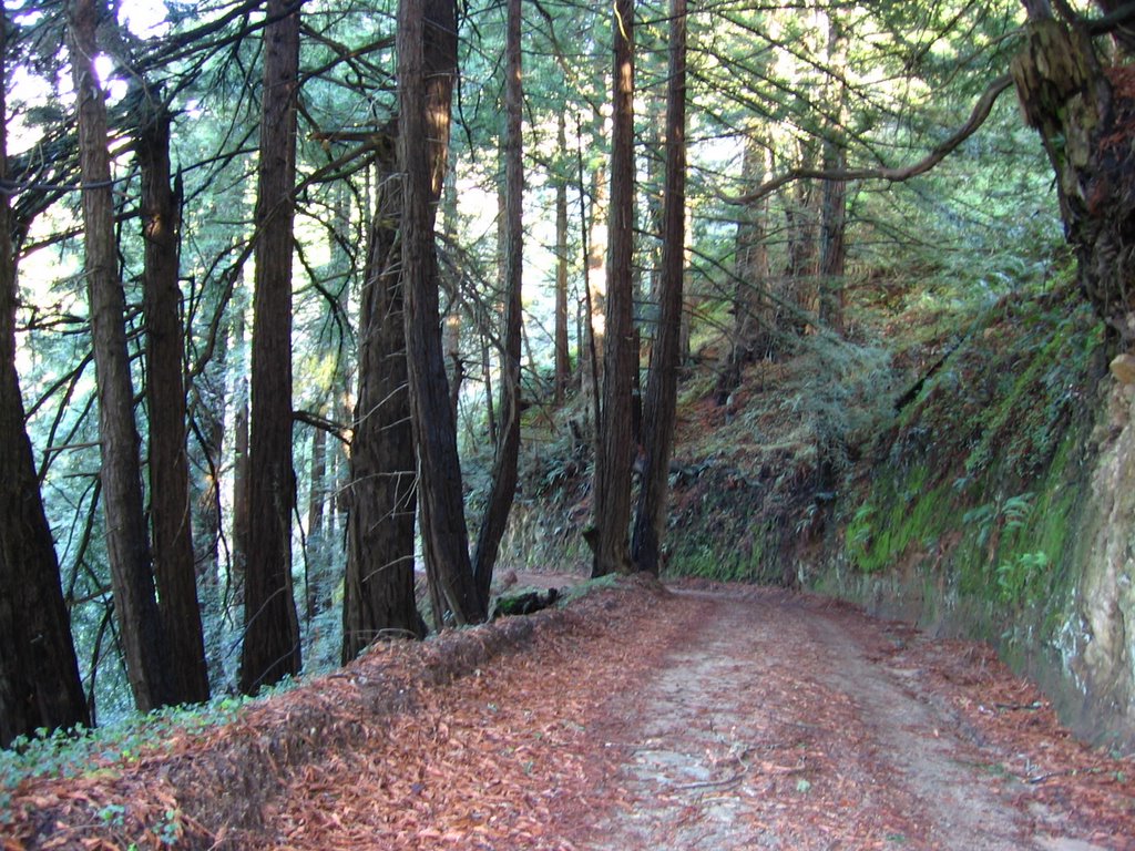 Mossy rockwalls accompany me for the first mile or so.
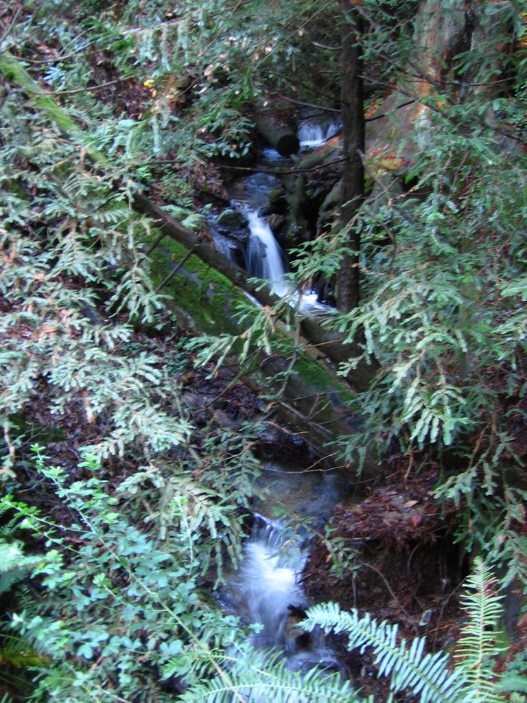 Little cascades tucked here and there, echoing through the forest.
 The ruts have disappeared, and are now replaced by sand.
 The east face of Bixby Canyon. The east faces of the Santa Lucia mountains and ranges seem to be much steeper (and drier) than their west counterparts. This could be due in part to the prevailing direction of the wind (and moisture). I.e. more moisture on the west side means more weathering and erosion, leading to a gentler grade.
 2nd bridge: Bixby Creek.
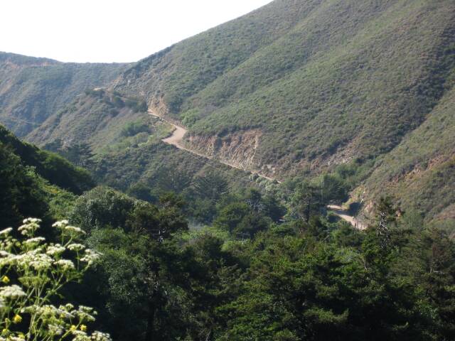 A 400 ft climb out of Bixby Canyon ahead (taken by another rider).
 Looking back at Bixby Canyon. Hard to believe I climbed over the ridge on the right to get here.
 A wider view.
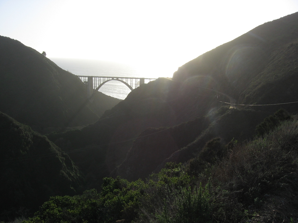 Bixby Bridge and the Pacific Ocean.
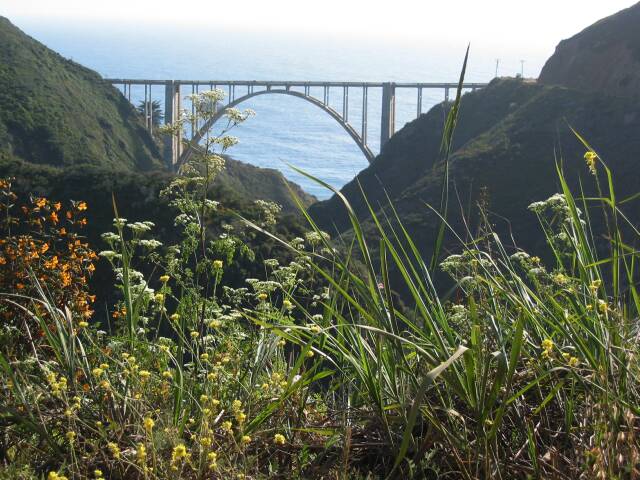 A picture taken by another biker in Spring.
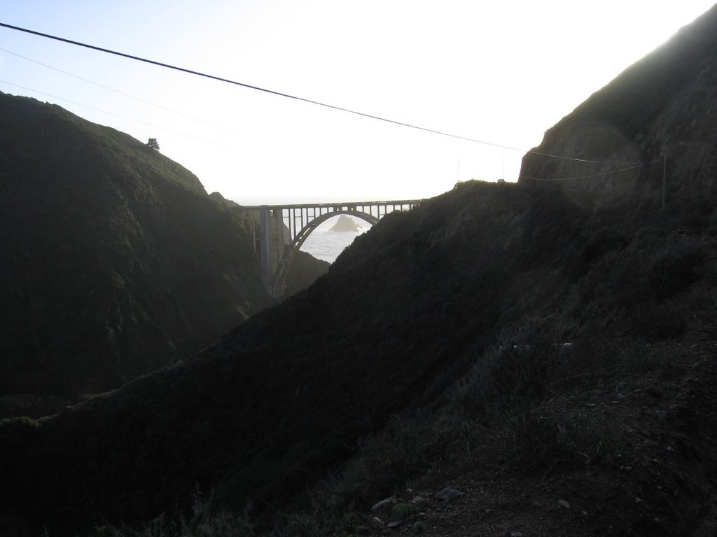 Another pic.
 And another.
 Bixby Bridge. Benches have been integrated into the tips of the bridge's two main supports, enabling one to sit there, suspended 240 feet over Bixby Creek, and gaze at the ocean. Spot the couple?
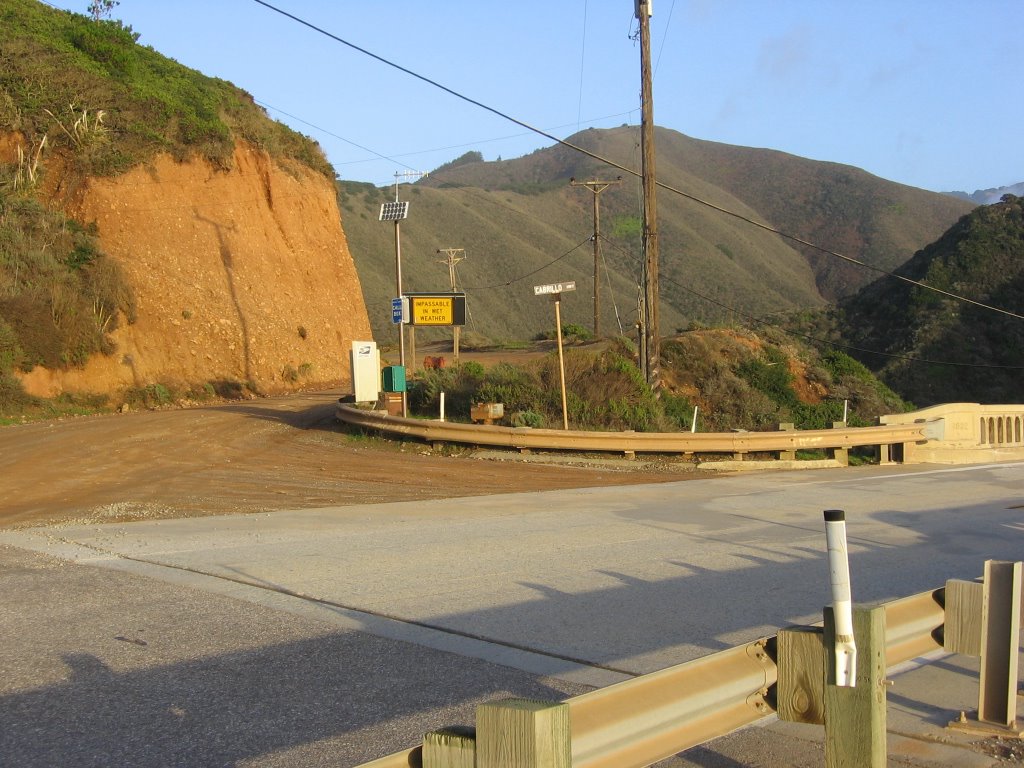 Emerging from the northern end of Old Coast Road on to Highway 1 / Cabrillo Highway. The sign warns, "Impassable When Wet."
 Big Sur coast.
 My steed.
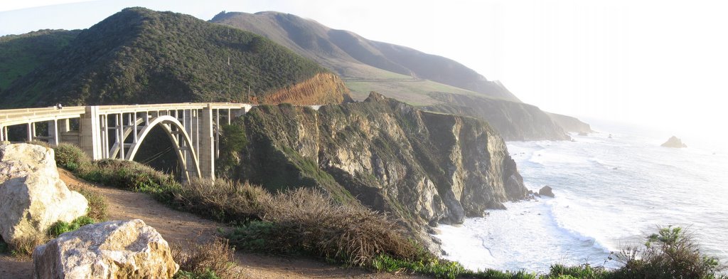 A panorama.
 One of the integrated benches on top of the bridge's spires.
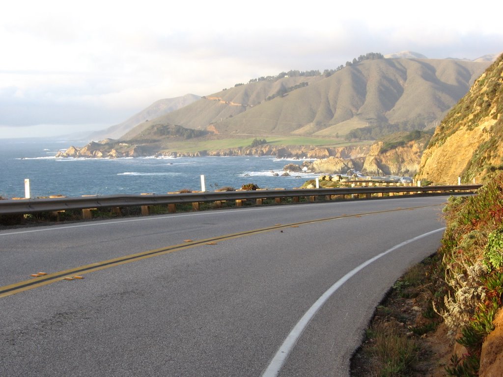 Decided to take a short detour north to check out Bixby Bridge's twin. One of the beauties of cycling is that you can stop at any time, anywhere, to take a photograph. In a vehicle, one would have to hunt for the nearest turnout or a very wide shoulder.
 Rocky Creek Bridge.
 View from Rocky Creek Bridge.
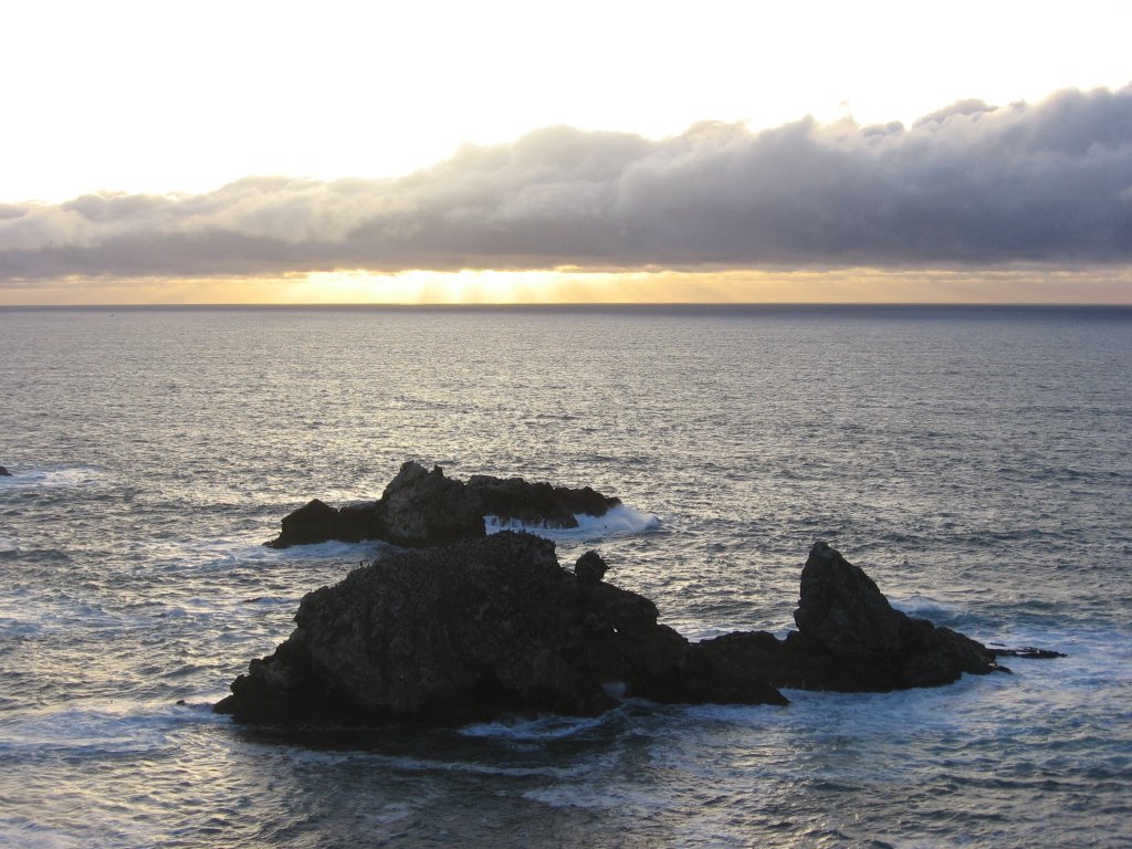 Evening approaches and I am 9 miles and 4 hills away from my car.
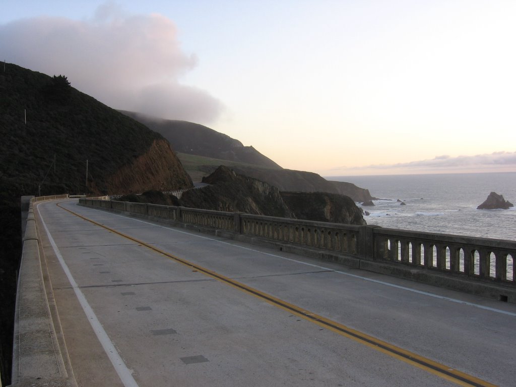 Back on Bixby Bridge, heading south. The first hill (747 ft) beckons.
 On top of the first hill, looking at Point Sur. I believe the promontory behind it, on the left, is Hurricane Point.
A view of Bixyby Bridge from afar (photo credit: Jazz Inmate).

Bixby Bridge in 1972, shot on Ektachrome.
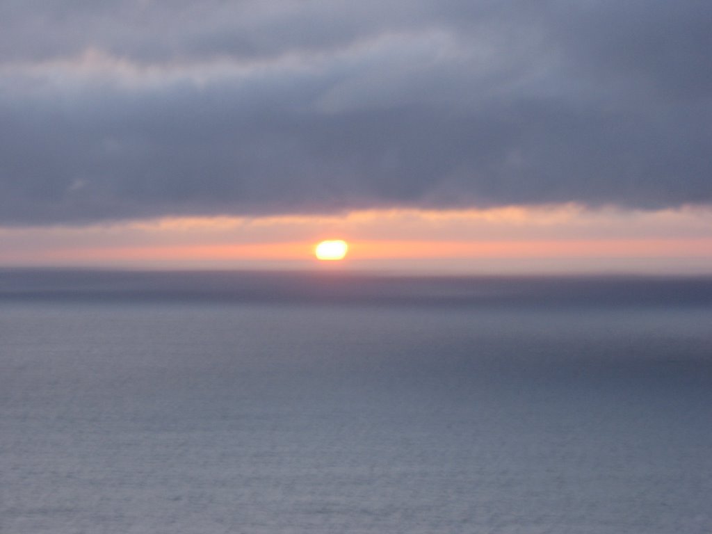 Sunset over the Pacific.
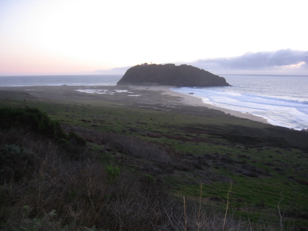 Passing Point Sur — quietly; my passage masked by the cries of gulls, the whipping wind, and the endless crash of waves.
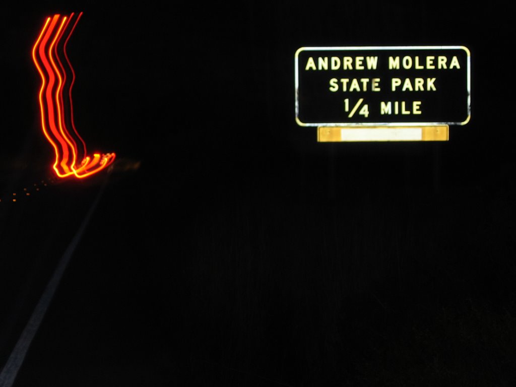 A welcome sight. Back to the parking lot.
 'Was planning to have an after-ride bite at the nearby Big Sur River Inn, a restaurant, general store, lounge, and lodge 3 miles south. It is situated beside a creek and has tables and chairs placed in the water. The waitress will wade out into the stream to take your order, and deliver your food. Unfortunately, by this hour, it was too dark and cold for such a dining experience.
The bare, yet comfortable rooms at this circa 1930s establishment have no TVs or telephones; aural accompaniments come instead from the Big Sur River mummering by the dwelling's edge. A tempting proposition, but I looked forward to the drive home: windows down, heater and iPod blasting.
Epilogue:
Total distance: cyclo-computer 20.7 miles (33.12 km) / GPS 21.12 miles (33.79 km) / TOPO! 20.41 miles (32.66 km).
Total elevation climbed: Altimeter 3730 ft (1137.2 m) / GPS + TOPO! 5170 ft (1576.2 m).
Temperature range: 51 F to 57 F (10.5 C to 13.9 C).
Fluids consumed: 0.65 liter of CytoMax.
The discrepancy (1440 ft) in total elevation climbed between the altimeter readings (3730 ft) and TOPO! topological data (5170 ft) may be explained by the methodology with which TOPO! measures elevation over bridges. TOPO! does not take into account the elevation of the structure, but rather measures the elevation of the underlying terrain. This creates an artificial gain in elevation climbed when one measures a route over bridges.
Ride conducted solo.