As part of the preparations for a longer ride in the future, I went on a reconnaissance ride around Lexington Reservoir on Dec 5, 2005.
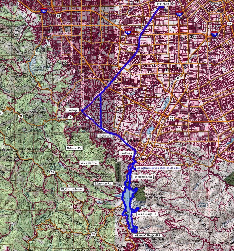 Map of the ride. 1499 track points laid down by the GPS unit.
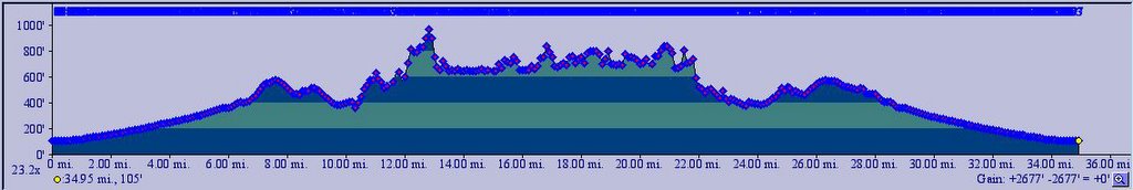 TOPO!'s elevation profile.
 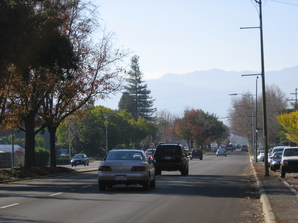 Saratoga Avenue leads straight to the city of Saratoga and Highway 9.
 Highway 9 runs between the town of Los Gatos and the city of Santa Cruz (passing the city of Saratoga along the way). This portion of Highway 9 leads to the town of Los Gatos. Trivia: Steven Spielberg attended high school in Saratoga.
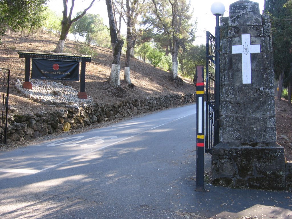 Missed the right turn into Los Gatos Creek Trail at East Main Street and Maple Place (immediately after crossing over HW 17), and took a right at College Avenue instead. Then, I missed the right turn to Jones Road and climbed to the top of College Ave, where I chanced upon the gates of Sacred Heart Jesuit Center, a home for 64 retired priests and brothers. Readers with long memories might remember my August 7th post about the suicide of Father James Chevedden and the allegations of sexual abuse surrounding the incident. This is not the first time the Jesuit retirement community in Los Gatos has been rocked by scandal, in 2002, the Jesuits paid $7.5 million to two retarded dishwashers to settle their allegations of sex abuse.
The free wine tasting and tour (10 AM to 5 PM, everyday ) at Testarossa Vineyards was tempting, but finding the way to Lexington Reservoir was more important. So back down I went.
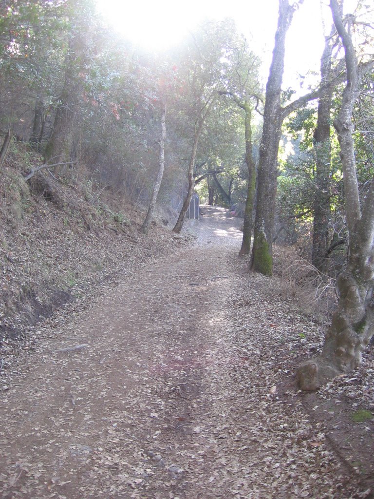 Found Jones Road this time :) Jones Road eventually becomes Jones Trail. As Jones Trail climbs the flanks of St. Joseph's Hill (1250 ft) en route to Lexington Reservoir, it climbs an additional 200+ feet compared to Los Gatos Creek Trail.
 Jones Trail follows the historic alignment of Jones Road, which was used in the last century by stage coaches and pack teams. This was an important route, bringing people, supplies, and equipment over the precipitous St. Joseph's Hill and then down into Los Gatos. From the mid-1800s until 1925, this narrow and steep road was the main connection between Los Gatos and the small towns of Lexington and Alma. When Lexington Reservoir was built in 1952, the towns were abandoned and inundated by the water. (Source: www.openspace.org flyer)
 Top of Jones Trail looking north. Lexington Reservoir and Alma Bridge Road on the left. Westbound Highway 17 (towards Santa Cruz) straight ahead. A small portion of the Los Gatos Creek Trail can be spotted below.
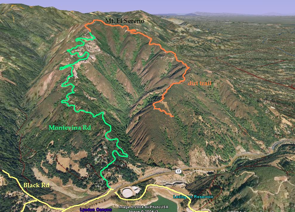
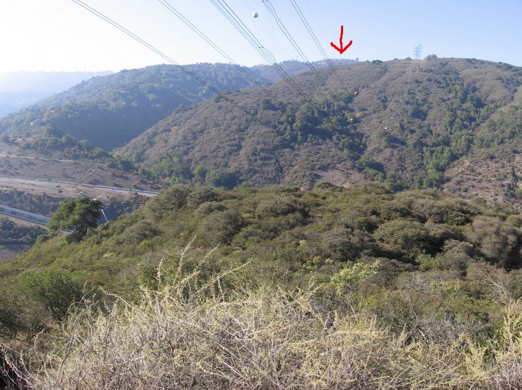 There is a more painful way to reach Lexington Reservoir. (Click on the road names for illustrated 3D pictures). By taking Bohlman Road (3D view) in Saratoga to Montevina Road (3D view) in Los Gatos via the 1/4 mile dirt path, El Sereno Trail (3D view) (elevation 2570 ft) , one clocks an additional 1500 feet of climbing. The houses on top of Montevina Road can be seen in this picture (red arrow).
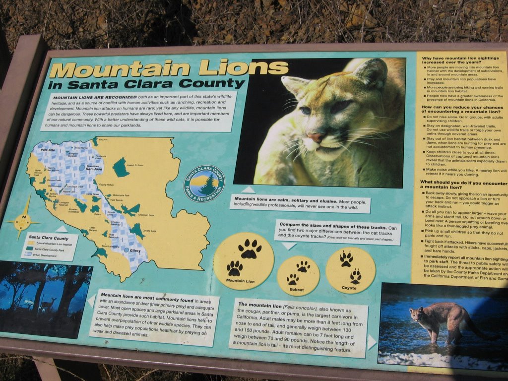 After a relatively steep descent, dropping 155 feet, I find this comforting sign at the Jones Road trailhead at Alma Bridge Road. Always nice to know you are not on top of the food chain. Keeps one humble, IMHO.
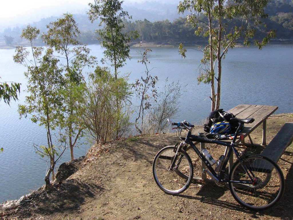
 After a leisurely lunch of an expired Cliff Bar by the waters of
 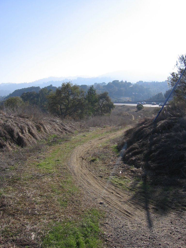 When I reached there, there was indeed a trail, but it wasn't a fire road. It was a mildly rutted, muddy singletrack. And I was on slicks. Specialized Fat Boys, 100 PSI, no tire knobs or even threads, smooth as a baby's butt cheek. Oh well, what the heck, right? Here we go... slipping and sliding all over the place.
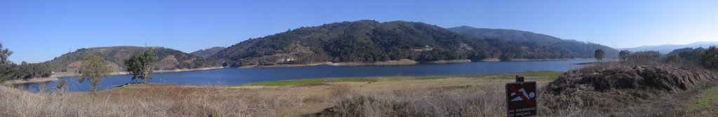 Half-way through the trail, a panorama of Lexington Reservoir from the north bank. Beneath the water lie the towns of Alma and Lexington.
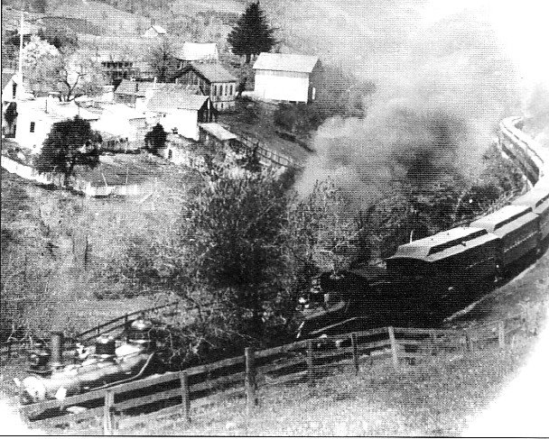 Town of Lexington circa 1910, looking north. Southern Pacific train to Santa Cruz.
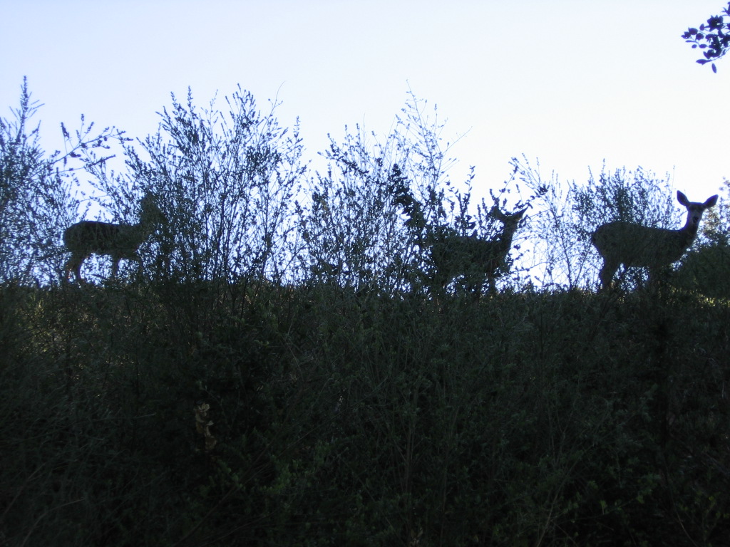
 Upon emerging from the singletrack paralleling HW 17, I mistook Old Santa Cruz Highway for HW 17 and plunged back into another trail. Missed a turn because I was momentarily distracted by some deer and ended up following fishing trails, backtracking and trailblazing for 45 minutes before dead-ending into a very steep wall of mud. If I went up carrying my bike, there was no way I could safely descend. Remembering that one should never get into a position where one cannot backtrack, I conceded defeat to the wall of mud and returned to my previous known point: the last trailhead. Maybe it was a different frame of mind (I was actually looking for Old Santa Cruz Highway now, and not a supposed continuation of a trail), or a different perspective (looking east instead of west), but I realized I was on Old Santa Cruz Highway. Back on track again :)
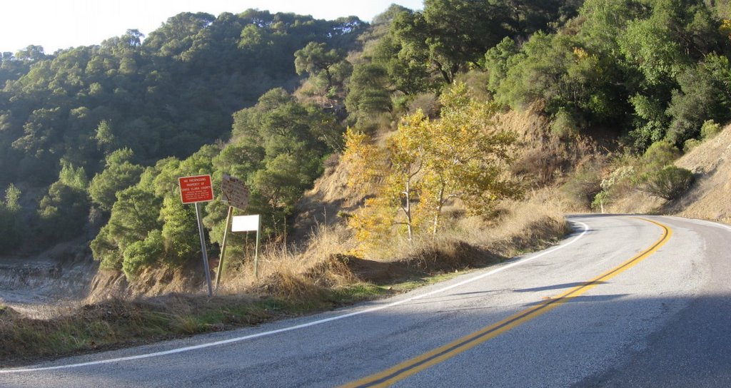
Climbed Old Santa Cruz Highway west for a few miles before turning left and descending south along Aldercroft Heights Road to link up with southbound Alma Bridge Road.
 Alma Bridge Road follows the south and east banks of Lexington Reservoir.
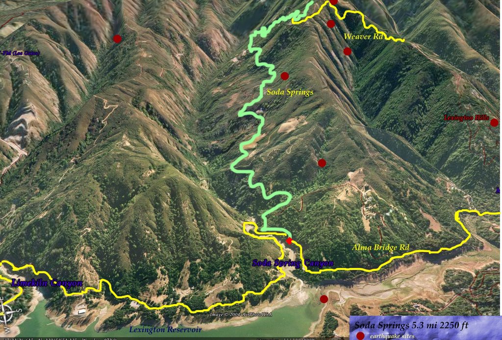
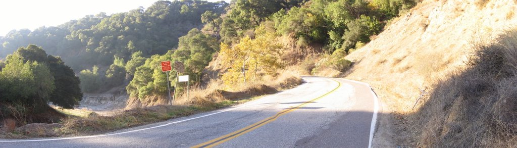 A wider view. This section is known as Soda Springs Canyon. Soda Springs (3D view), a road which climbs 2250 feet in 5.3 miles begins here.
 Generally referred to as "Miller's Point," this picturesque picnic area was named after a fallen police officer.
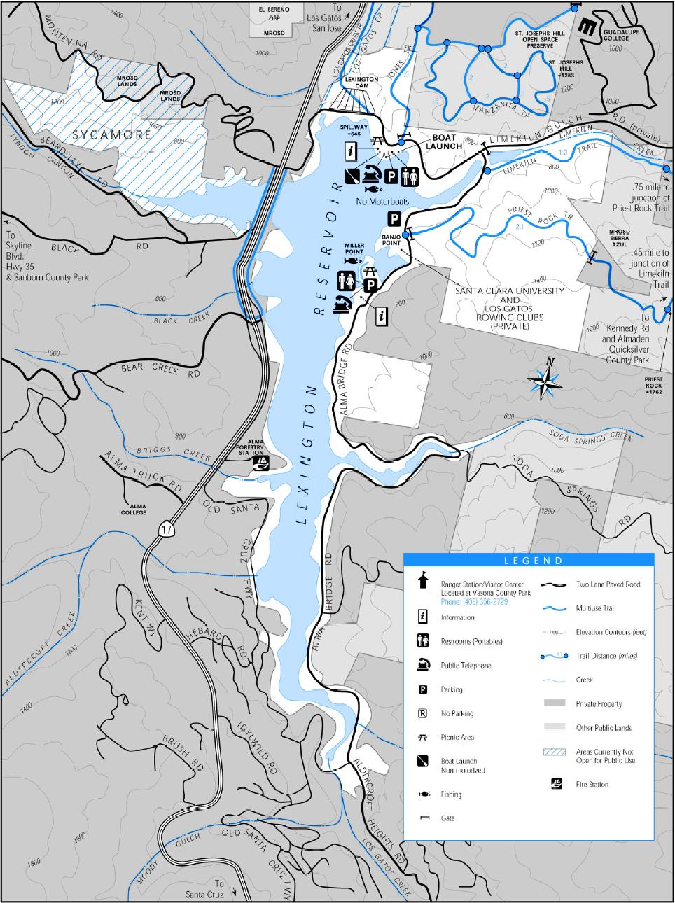
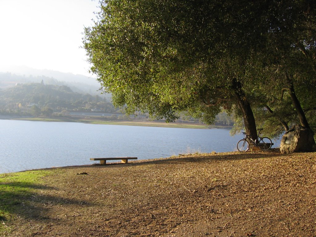 Under the shady oak trees at Miller's Point. Map of the reservoir.
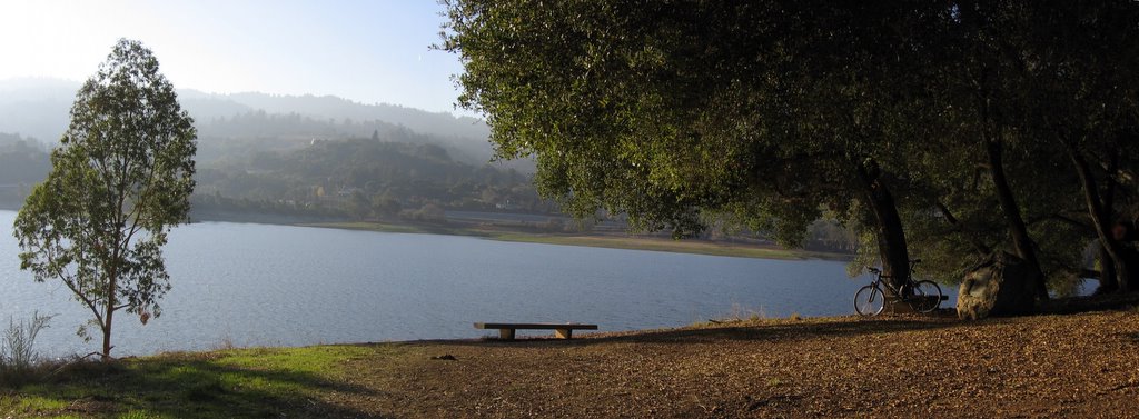 A wider view.
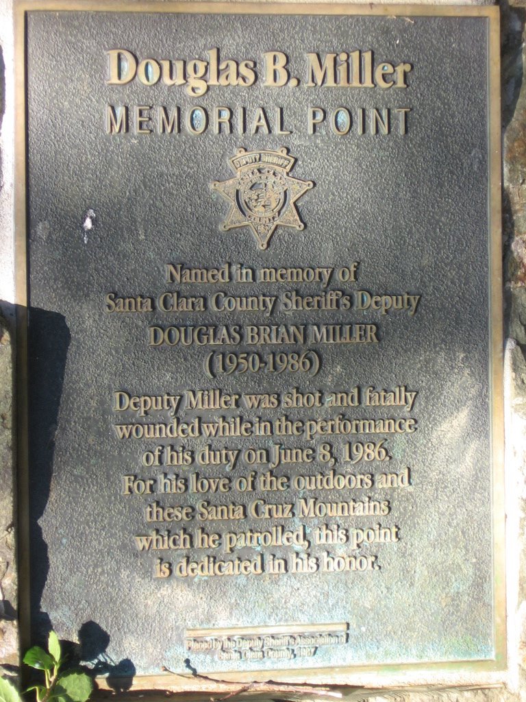 Plaque on the boulder in the previous picture.
 Back on the west (dam) side, facing the Santa Cruz mountain range. One word to describe circumventing Lexington Reservoir (via unnamed singletrack, Old Santa Cruz Highway, Aldercroft Heights Road and Alma Bridge Road): rollers. There were no extensive climbs, just a significant number of rollers.
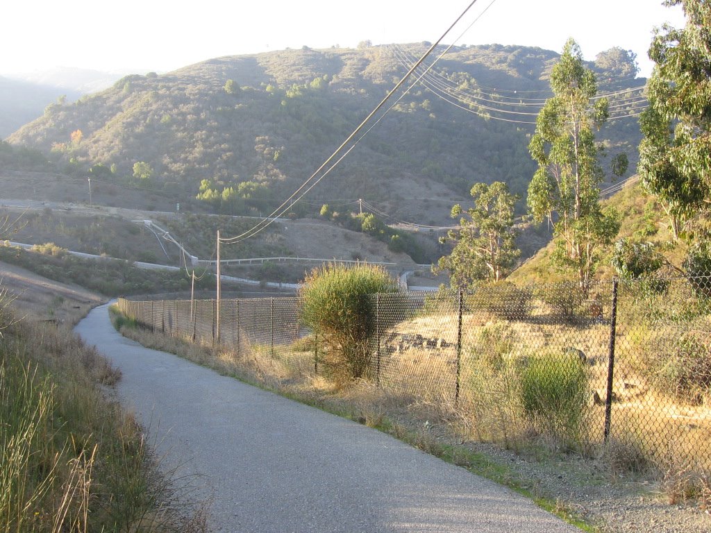 Los Gatos Creek trail leading down and eastwards to the town of Los Gatos.
Sugoi's technical wear comes through again . The Sugoi Convector jersey is excellent. With the aid of the Sugoi Blur vest, the combination kept me warm even at 48 F (9 C) on flats and downhills. I was surprised that I did not feel the need to break out the windbreaker. Typical Sugoi gear--worth every penny.
Epilogue:
Total distance: cyclo-computer 35.1 miles (56.16 km) / GPS 34.79 miles (55.66 km) / TOPO! 34.95 miles (55.84 km).
Total elevation climbed: Altimeter 2780 ft (847.56 m) / GPS + TOPO! 2677 ft (816.16 m).
Temperature range: 45 F to 53 F (7.2 C to 11.6 C).
Fluids consumed: 1.2 liters.

No comments:
Post a Comment