Engaged in a bit of road riding on Friday: Mount Diablo (3849 ft) via North Gate Road. It was a 55 minute, 48 mile (76.8 km) drive up north to the city of Walnut Creek for this excursion.
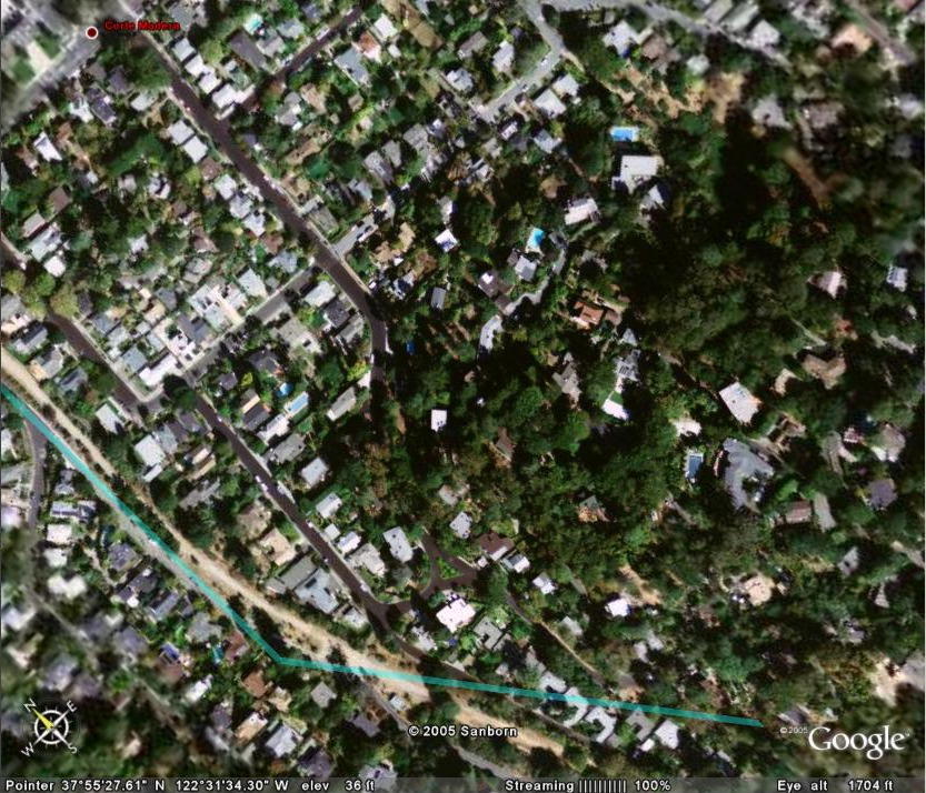
 Here are the track points made by the GPS device I brought along with me. Again, the blue "line" is actually made out of many individual blue diamonds (in this case, 1777 of them), each representing an electronic "breadcrumb" left by the GPS unit.
 The elevation profile of the ride. TOPO!'s interface is a pain to use. It is like Windows 3.1, only buggier and 10 times slower. (If you are too young to know what Windows 3.1 is, thank your lucky stars.)
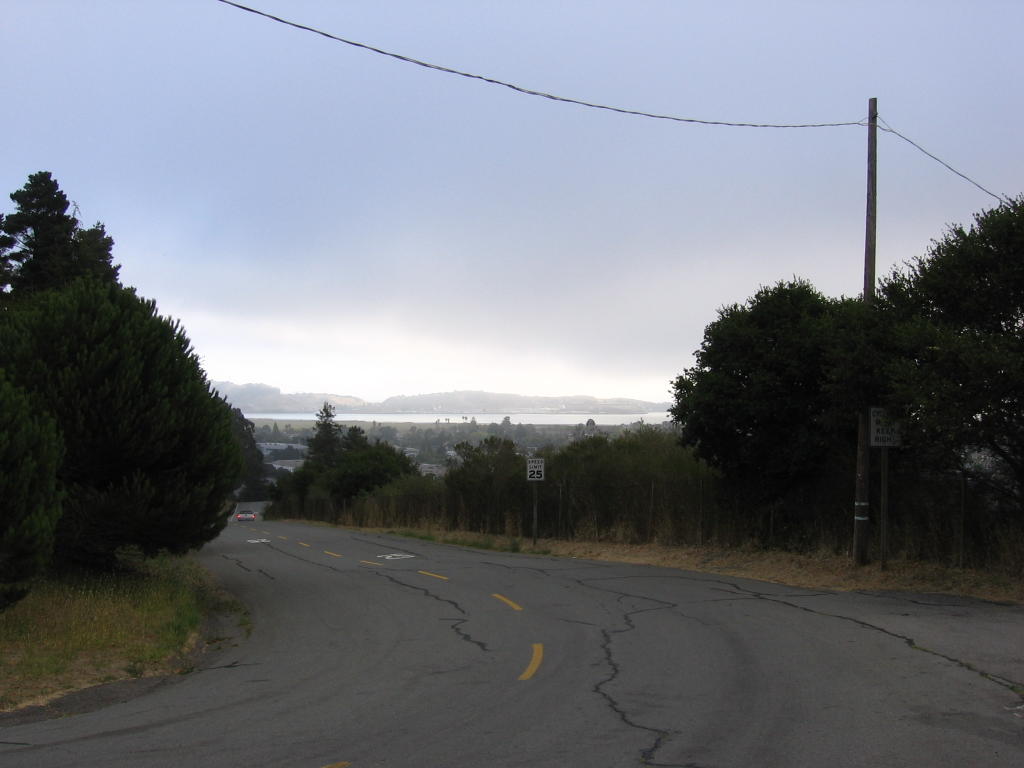
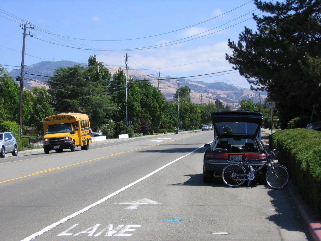 Walnut Avenue, one of the roads which lead to North Gate Road. (No, the hill on the left is just that, a hill. Mount Diablo is some distance behind these foothills.)
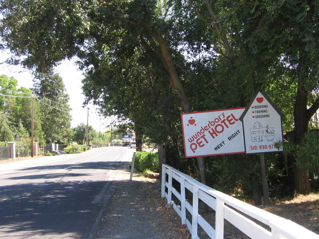 North Gate Road. Cute. I wonder if the pets are that happy though.
 Approaching Mt. Diablo: on either side of North Gate Road, houses and gated communities on flattened hills have replaced what used to be picturesque hills and lush meadows. Another cyclist / blogger who rode through this same stretch quoted Don Henley's lyrics on the raping of the land by yet another family in pursuit of the American Dream:
Some rich man came and raped the land,
Nobody caught 'em;
Put up a bunch of ugly boxes, and Jesus!
People bought them!
To which I deign to add my selection,
And they called it paradise,
The place to be.
They watched the hazy sun
Sinking in the sea.
. . .
And you can see them there,
On Sunday morning
They stand up and sing about
What it's like up there
They called it paradise.
I don't know why.
You call someplace paradise,
Kiss it goodbye!
Yeah, I'm in a sanctimonious mood today.
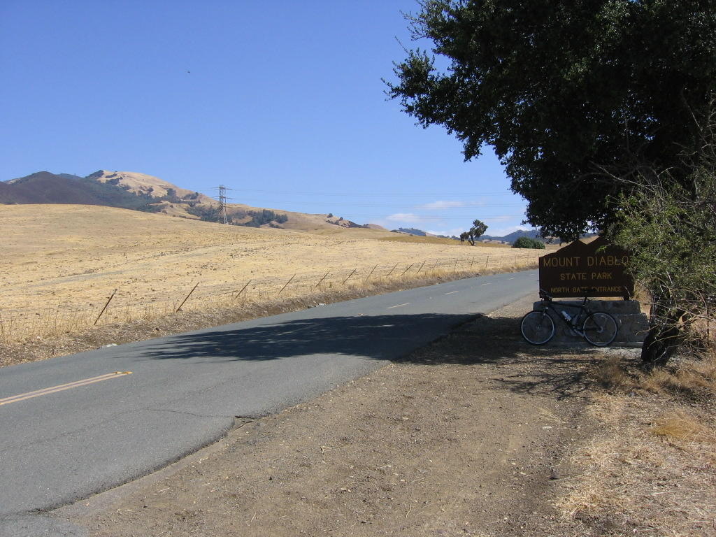 200 feet of easy climbing bring me to the North Gate Entrance of Mount Diablo State Park.
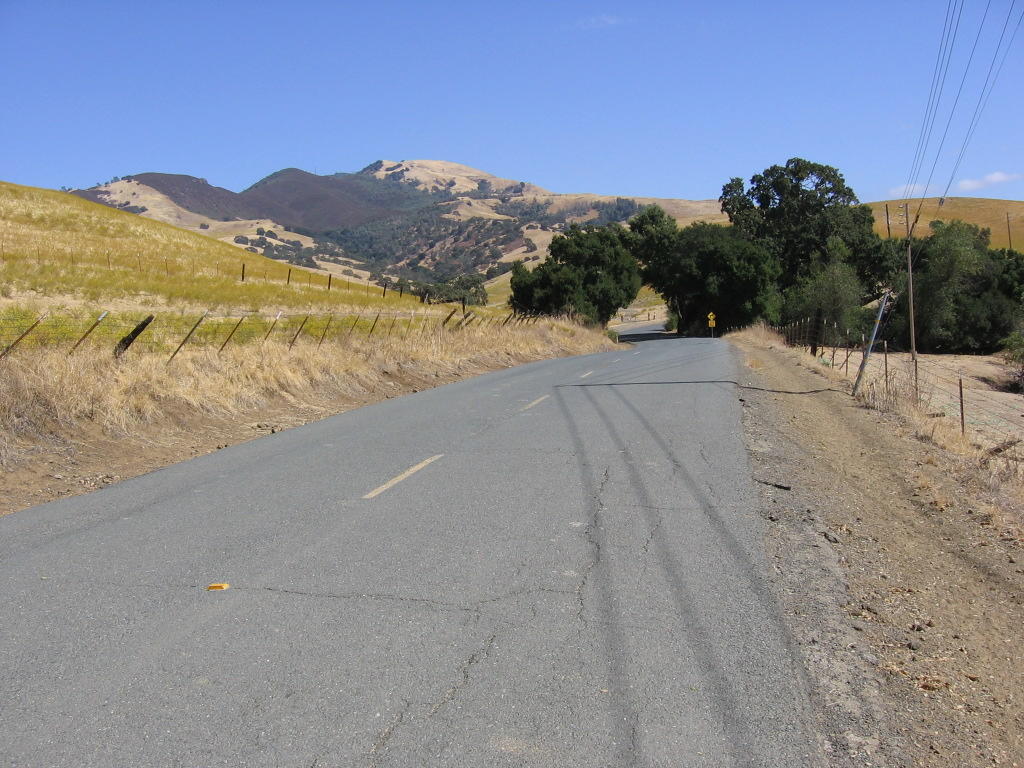 From here, one encounters a series of mild rollers (uphills and downhills) until the 3 mile mark, whereupon North Gate Road maintains an average grade of 6% until the junction at the elevation of 2000 ft.
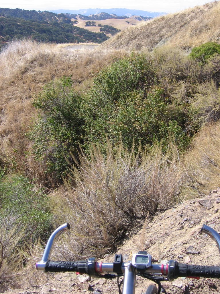 My cyclo-computer / altimeter is off by 145 ft due to a low pressure weather system. Here am I celebrating what I thought was the 1005 ft elevation mark when I was actually at 860 ft. The error is consistent though. I just had to subtract 145 ft from the readings throughout the ride. (Yes, I could have zeroed it against one of the markers, but I was too lazy.)
 The real 1000 ft elevation mark. In Scooby's lingo, I would say we have one Montebello (~2800 ft) to go before we make it to the summit.
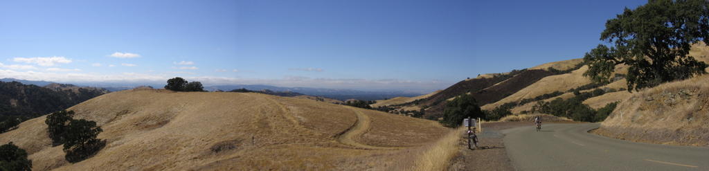 View downhill at the 1000 ft elevation mark.
 With a grade of 10%, the S-turn curves are there as an additional challenge on the ascent. Conversely, these same S-turns make for a lot of white-knuckled games of chicken versus the asphalt on the way down.
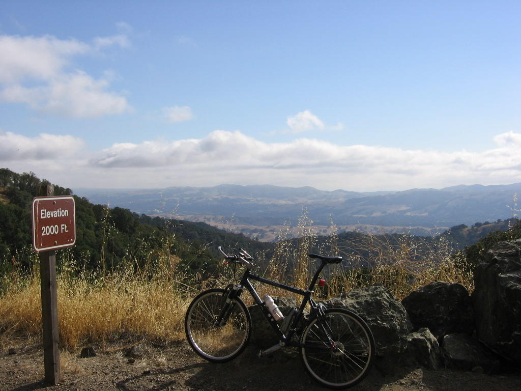 2000 ft elevation mark. Breathe. Breathe. Breathe. You are one big breathing machine, with legs that spin a pair of crankarms forever. The ranger station is 1/3 mile further on.
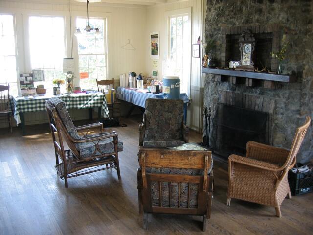
 Junction Ranger Station. I can't get over the size of the building. It's so... quaint. I don't see a drinking fountain. From here, one has the choice of taking South Gate Road 6 miles (9.6 km) and 2000 ft downhill to the South Gate Entrance, or climbing another 4.5 miles (7.2 km) and 1800+ ft via Summit Road to the top.
 Summit Road climbs up relentlessly at an average grade of 6.5 to 7% to the peak. The most difficult part of this climb? It is not the grade (though burning thighs and having to breathe harder is a bother), but the scenery. It is gorgeous, and if you brought a camera along, you might just find yourself indulging in more photography than cycling.
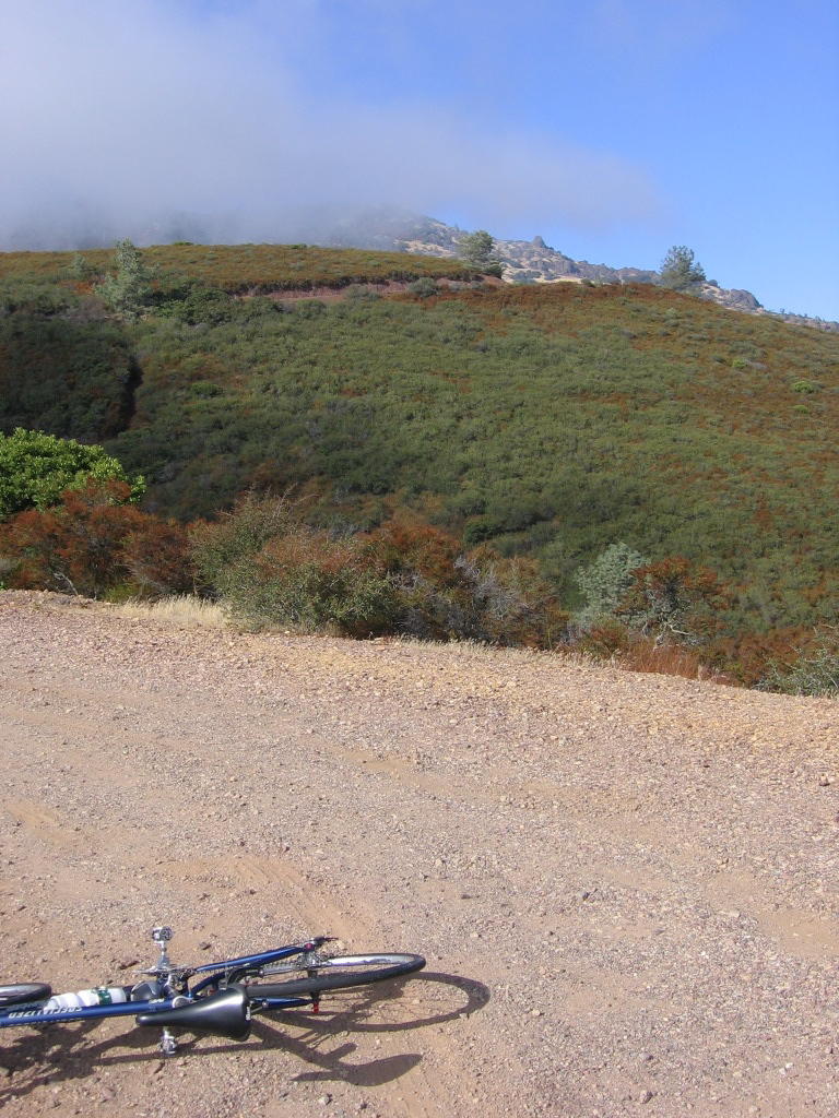 Attempted to take a picture of the summit from this turnout, but passing clouds block the view.
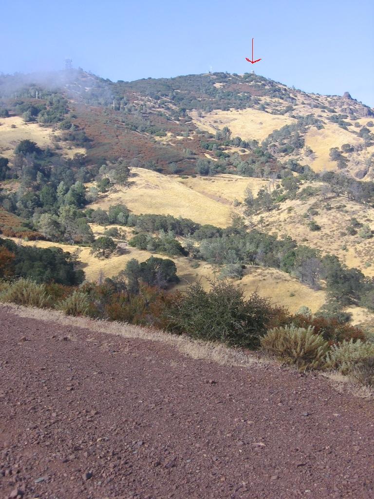 Much better. The red arrow denotes the Summit Observatory / Museum.
 Diablo Valley Overlook. One is supposed to be able to see Mount Tamalpais from here, but it was too cloudy today.
 3000 ft elevation mark. You are the Energizer Bunny: it keeps on going, and going, and going...
 Devil's Elbow: elevation 3480 ft. Almost there.
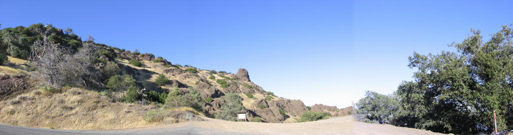 Devil's Elbow. The signpost in the preceding picture is located at the lower right hand corner. After this point is a 10% grade section, where most cycling buddies, no matter how close, designate as a "no talking zone."
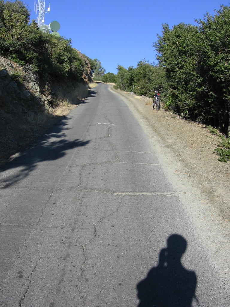 The last 1/8 mile (200 m) to the summit. With a grade of 17%, climbing it has been described as a "religious experience." I am a believer.
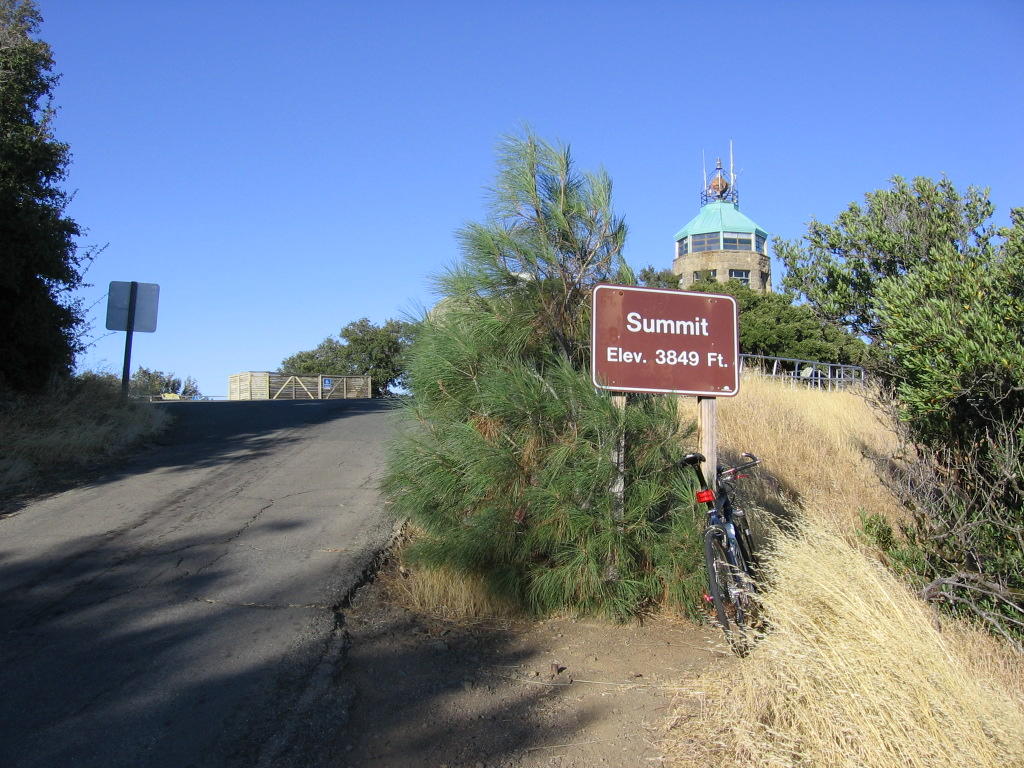 The summit of Mount Diablo and the Observatory / Museum.
 The clouds I climbed through (and also blocked a previous picture) to get here.
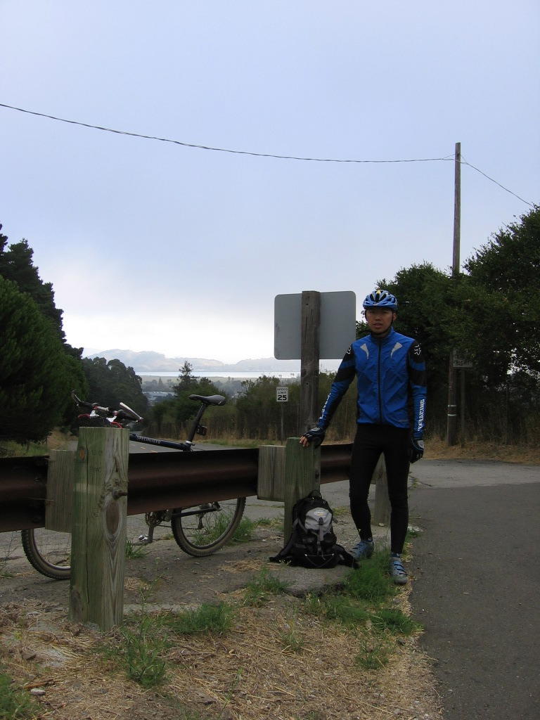
 Moi.
Moi. Mount Diablo Summit Observatory Viewing Deck elevation: 3895 ft (46 ft above the natural elevation of the peak). The gold/rust colored object is an early aviation beacon, which produces a light equivalent to 10 million candles, and was used to guide aircraft flying into the bay area before World War II. It was removed from service on Dec 7, 1941, as a wartime security measure. It has since been refurbished and now serves as a reason for morons to climb this 3849 ft mountain to "Ow" and "Ah" over it. Just kidding. The light is operated one night each year on Pearl Harbor Day (Dec 7). On that day there is also a sunset memorial service, with survivors of the attack present.
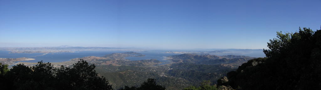
  Attempted two panoramas this time as the wind was knocking me around.
 Second try. Wind still knocking me around. There are drawbacks to being a lightweight, I guess.
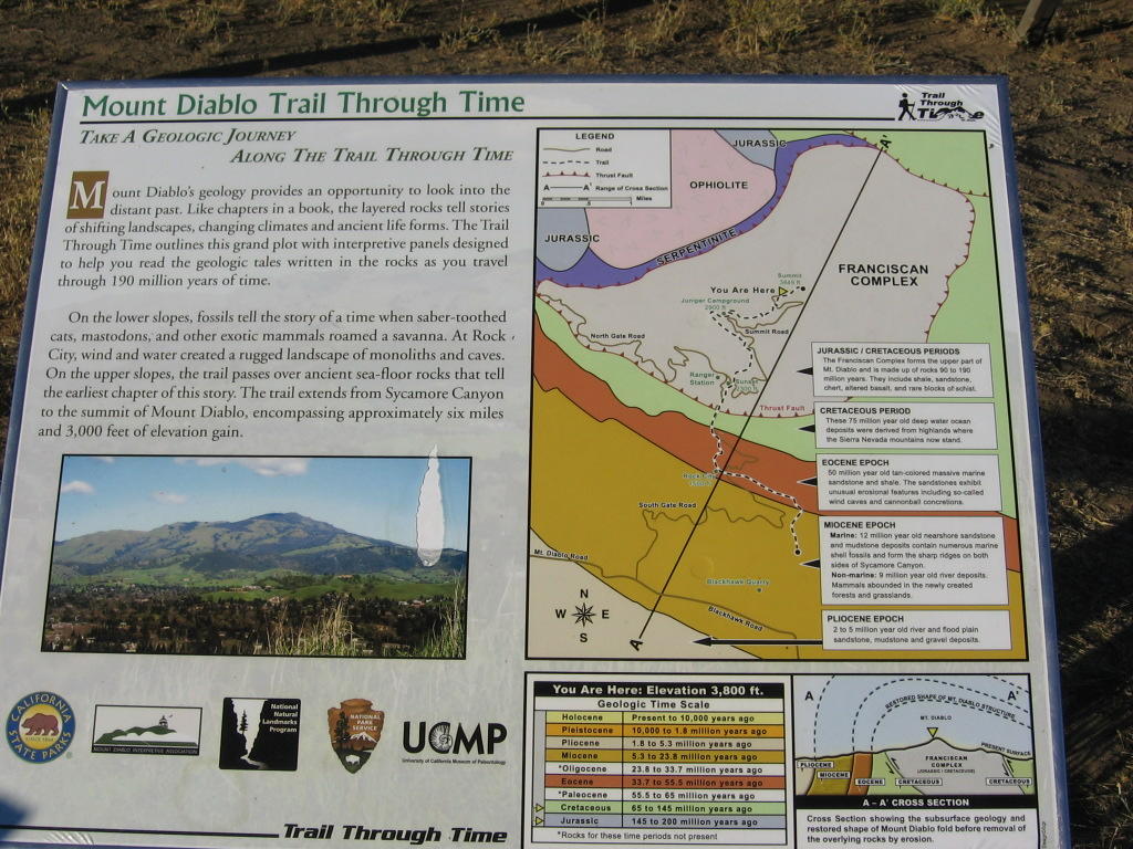 For those into geology.
 Descending Summit Road. Remember the clouds earlier?
  A chilly 4.5 mile (7.2 km) descent later, I'm back at the Junction Ranger Station. There isn't enough time to go 10 miles (16 km) down South Gate Road to Danville, turn around and climb back up to this junction again (thus clocking another 2000 ft of climbing), and take the final descent via North Gate Road back to my car. Although mountain lions are rare in this area, I really didn't fancy being caught in the dark again (I did bring lights though).
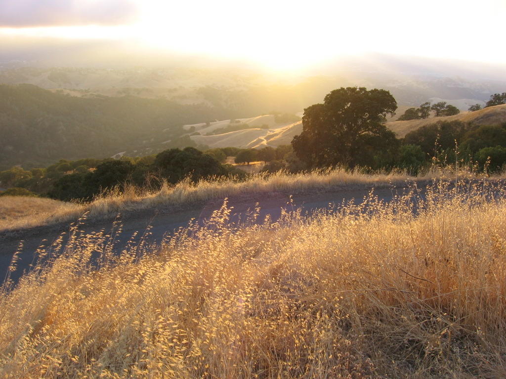 Although I was still shivering and my teeth chattering (one word: windchill), the rest of the descent was a blast. There are very few blind corners, so you can take the corners as fast as you dare. Just watch out for the rangers with their radar guns on weekends. The speed limit ranges from 15 mph to 25 mph (24 km/h to 40 km/h). Some say that a speeding ticket on a public road while riding a bicycle counts as a moving violation. I'm not sure if that is true, but I sure don't want to find out. (Yes, the sunlight is really golden...)
Epilogue:
Total distance: Cyclo-computer 28.1 miles (44.96 km) /
GPS + TOPO! 27.44 miles (43.9 km)
Total elevation climbed: Altimeter 4300 ft (1311 m) /
GPS + TOPO! 4292 ft (1308 m)
Temperature range: 56 F (13.3 C) to 68 F (20 C)
Fluids consumed: 2.5 liters.
This ride was conducted solo.