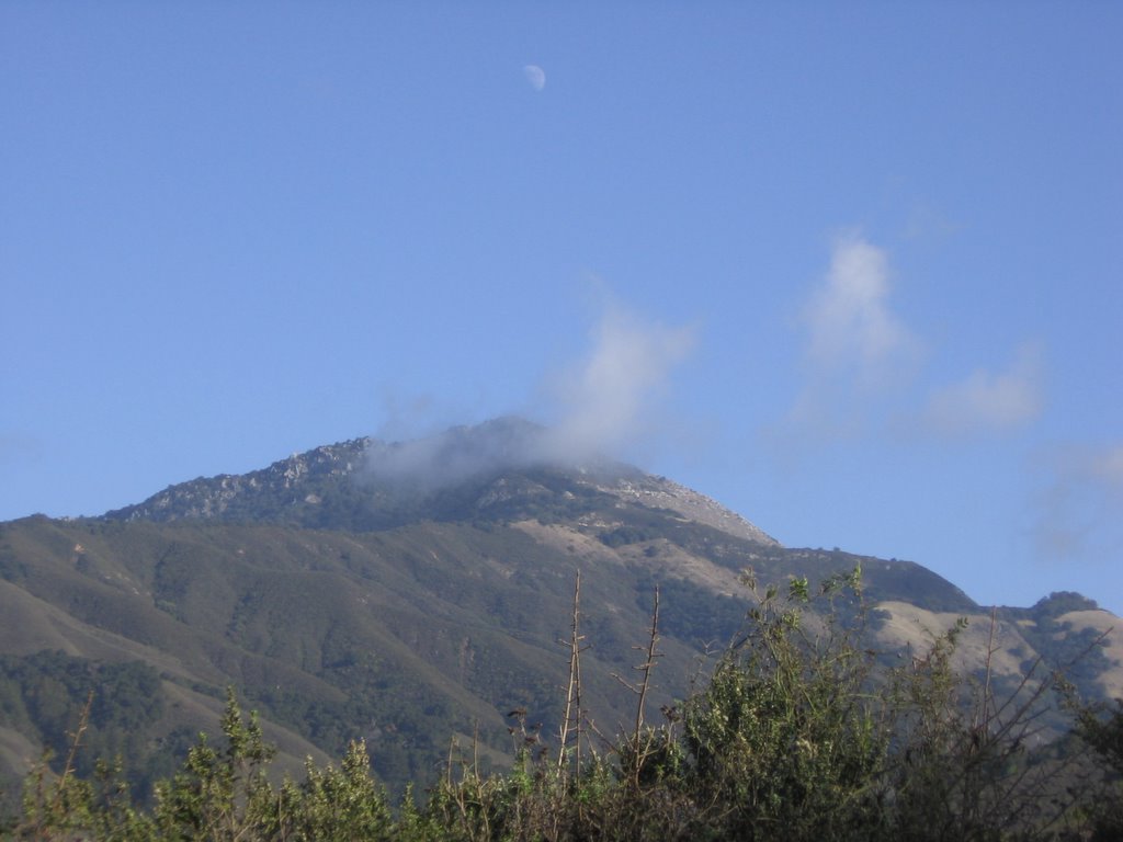
Decided to return to Mount Hamilton for a little ride--this time off-road. Joseph D. Grant Park lies at the base of Mount Hamilton. The park is named after the family who owned the land from 1880 to 1972. Joseph D. Grant was a remarkably successful man. Not only did he own 9,553 acres of the land (which is now the park), but managed his father's dry goods business, founded the Columbia Steam Company, served as President of the California-Oregon Power company, and served on the Board of Directors of the General Petroleum Company and the Central Pacific Railroad.
Grant owned mansions in San Francisco, Burlingame, and Pebble Beach. He was a life trustee of Stanford University. When he built his ranch on the the property, he used his influence to move Mount Hamilton Road half-a-mile northeast of home to preserve his privacy. At his ranch, he entertained guests such as Leland Stanford and Herbert Hoover. Hoover stayed at the ranch for a month after losing the election to Franklin Roosevelt.
After the death of Joseph D. Grant's daughter, Josephine Grant, in 1975, Santa Clara County bought the property to be preserved as a park. In 1978, Joseph D. Grant Park, named after the man and his family who owned the property for nearly a century, opened to the public. Click on the pictures for a larger view.
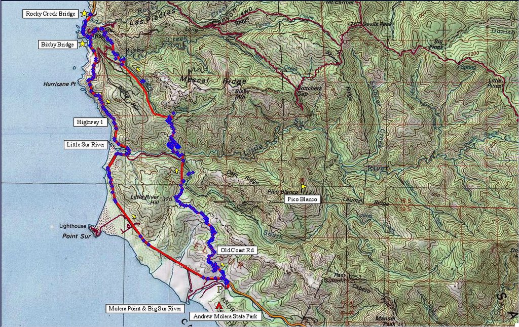
 Map of the area. 931 track points laid by the GPS unit. As it was already late in the afternoon when I drove up, there was only time for a short ride.
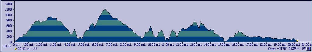
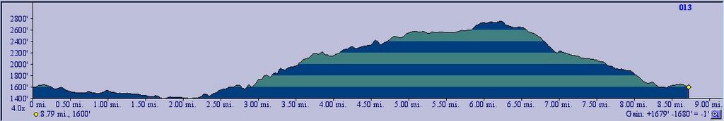 TOPO!'s elevation profile.
 Grant Lake parking lot. Day use fee is $5. Tickets to be purchased from the ranger or the machine at the main parking lot entrance. It is preferable to park here rather than the main parking lot as these gates are locked later. Temperature is a pleasant 57 F (13.9 C).
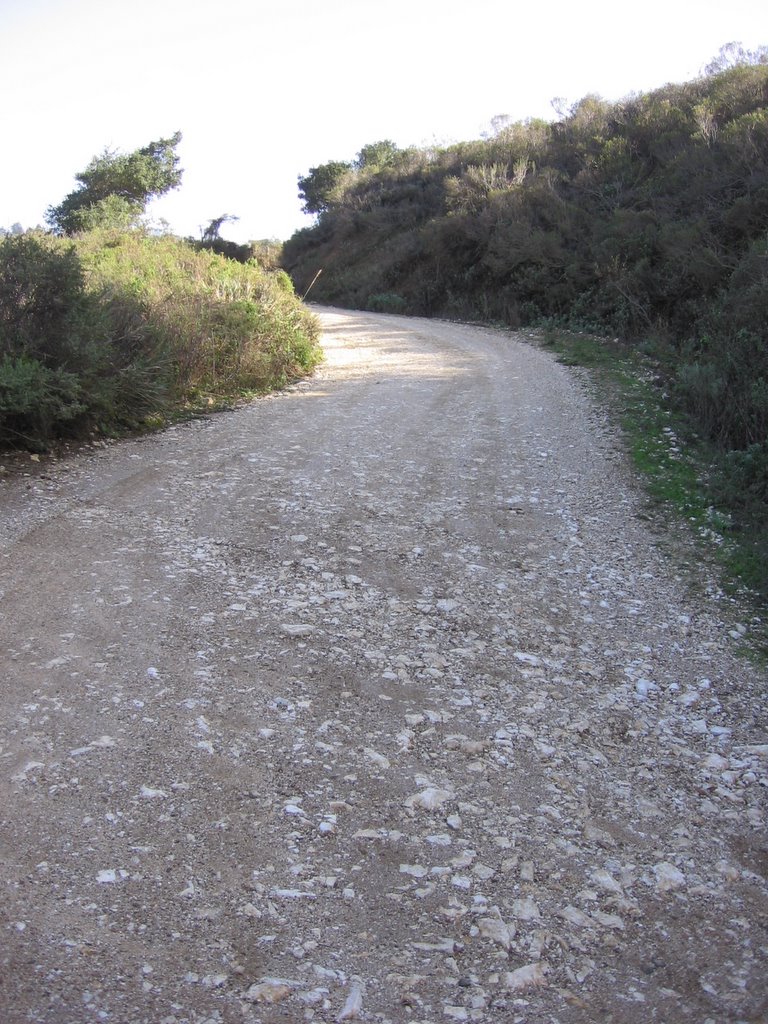
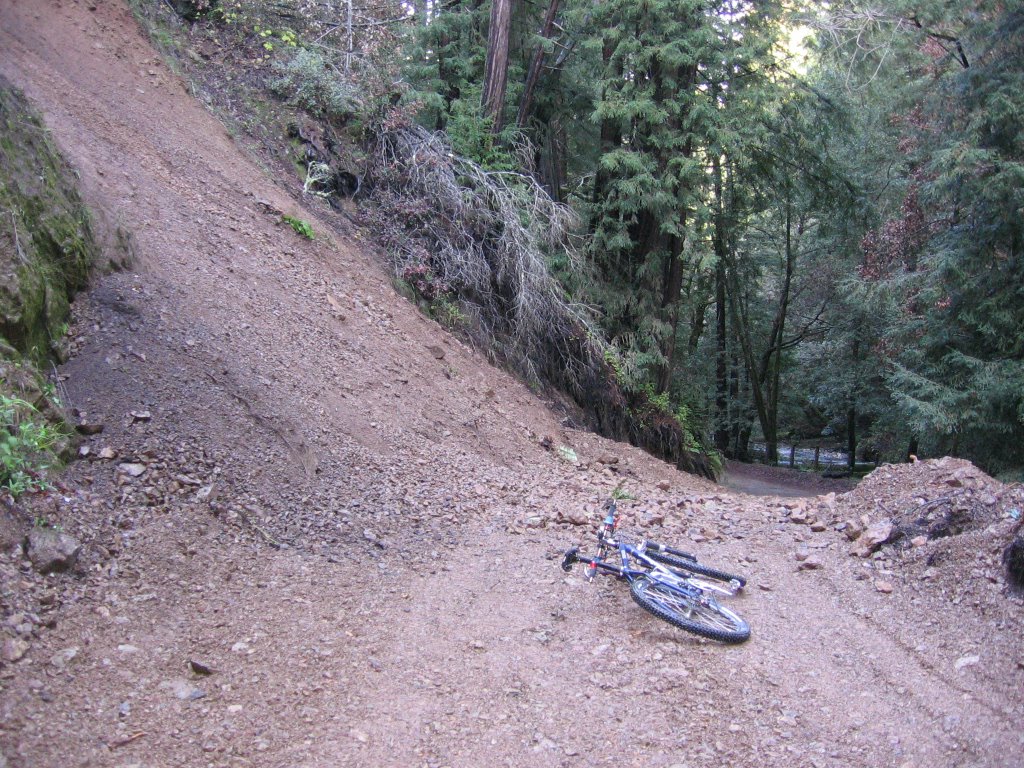
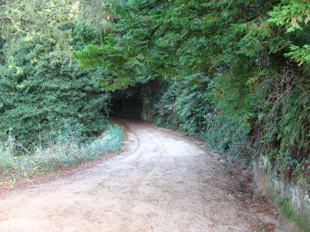
 A short climb (1/8 mile) up Mount Hamilton Road brings one to the Hotel Trailhead. From here, it is an enjoyable, if muddy, drop of 250 ft over 1.5 miles to Circle Coral, a set of triple gates and a fenced, circular enclosure for cattle.
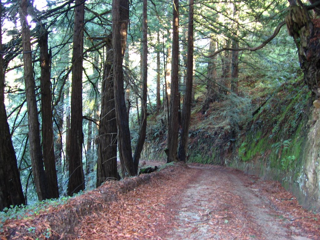
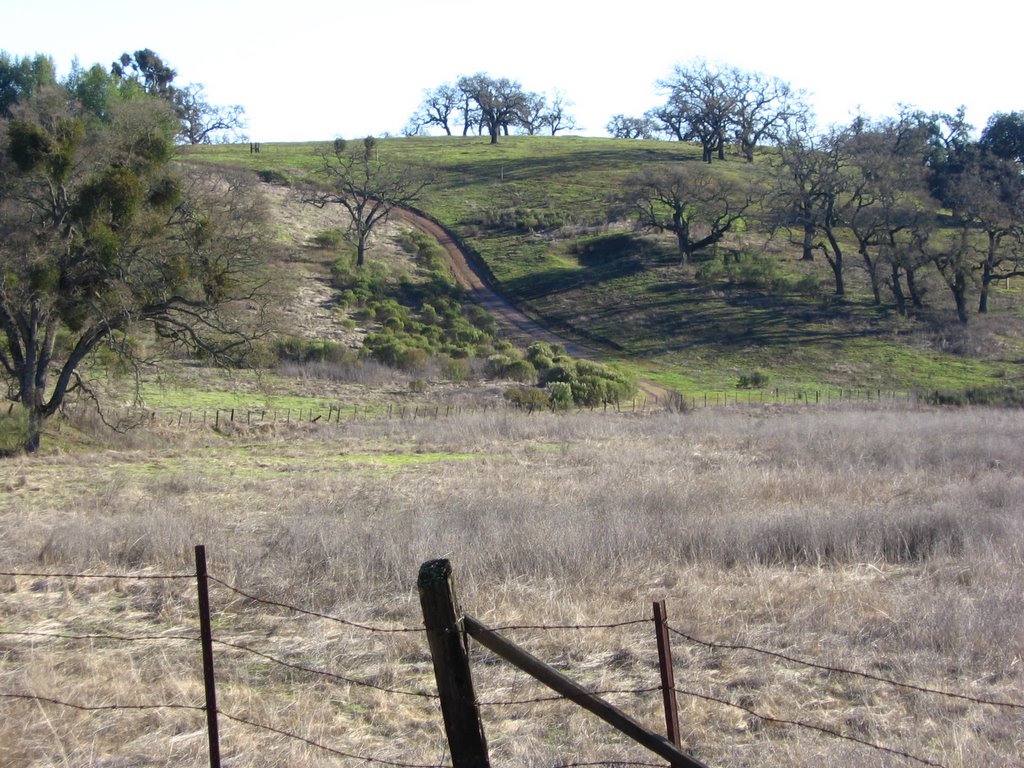 An alternate route to Circle Coral, Upper Hotel Trail. It entails some climbing, but is much drier than the wet and muddy Lower Hotel Trail. In retrospect, I should have taken this route.
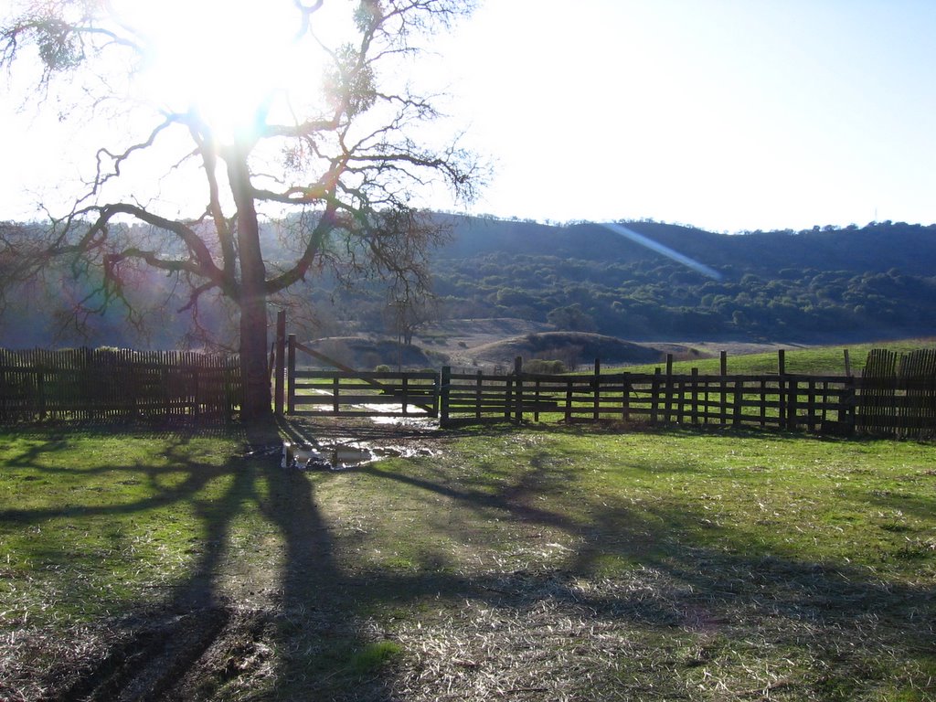 Circle Coral. A cow sneezed as I passed by. It sounded like a human's, only much louder.
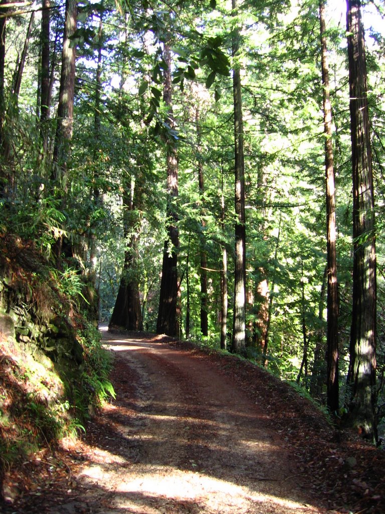
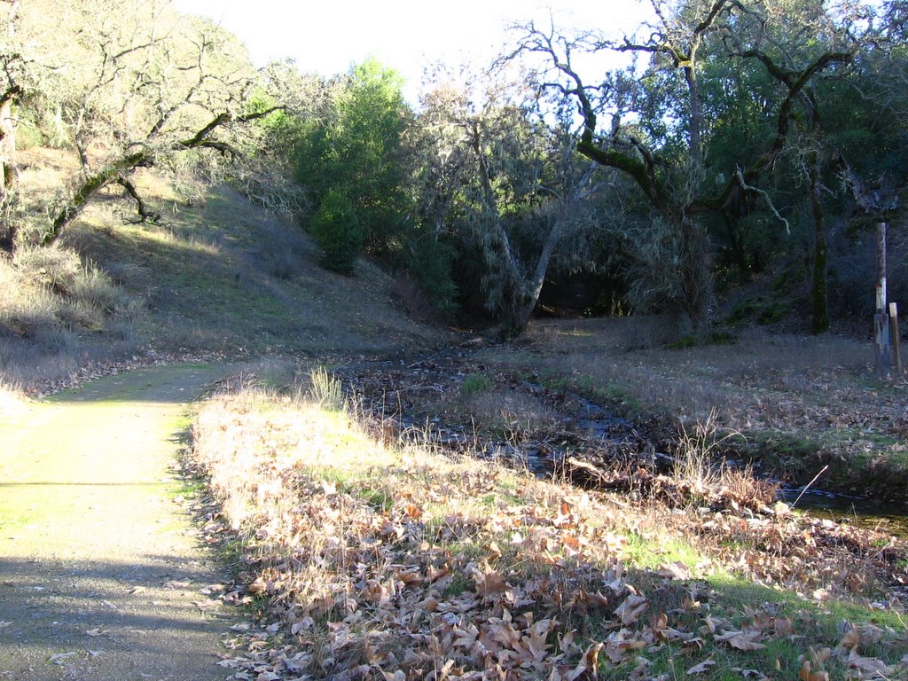 Hotel Trail continues east through a valley of oak trees.
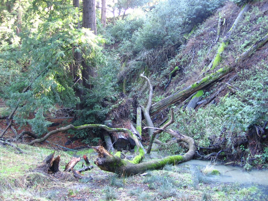
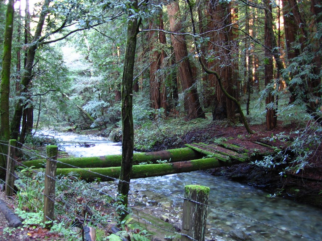
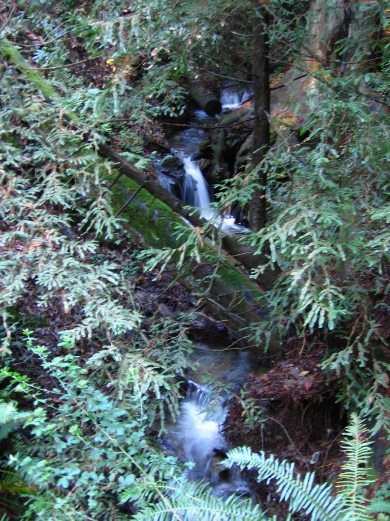
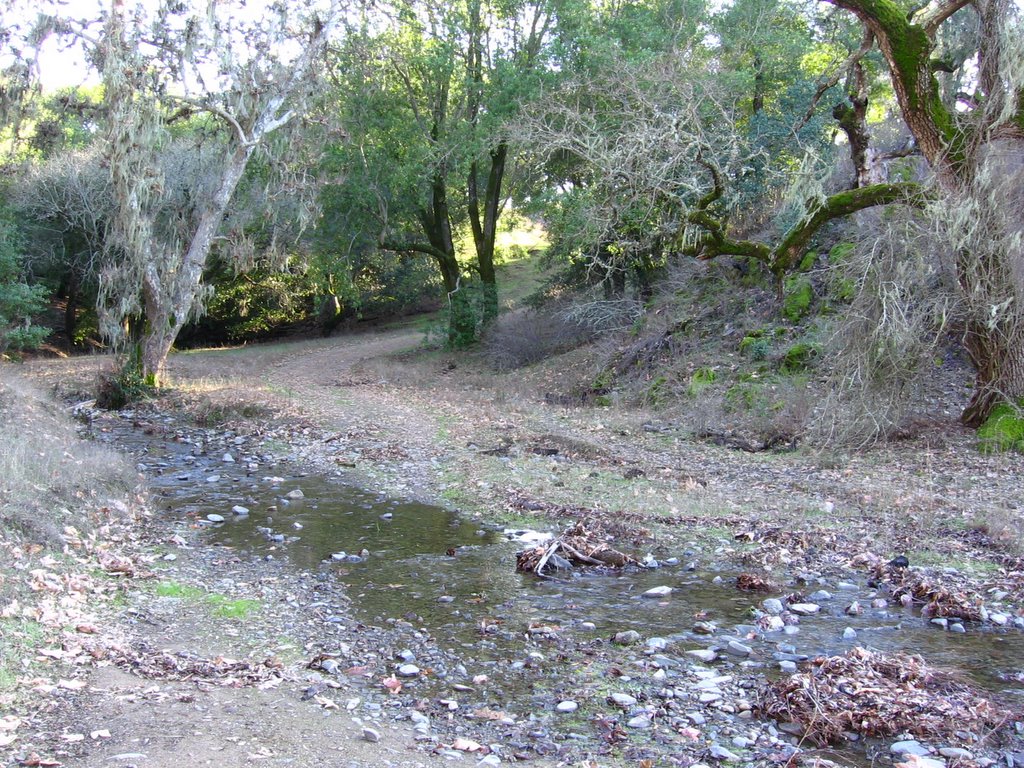 A little measure of peace crossing this stream-fed valley.
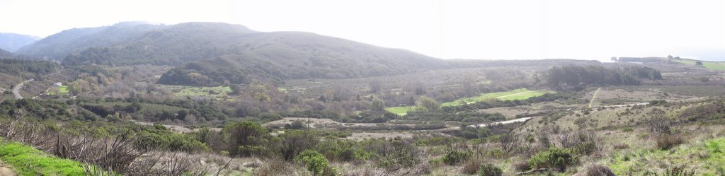
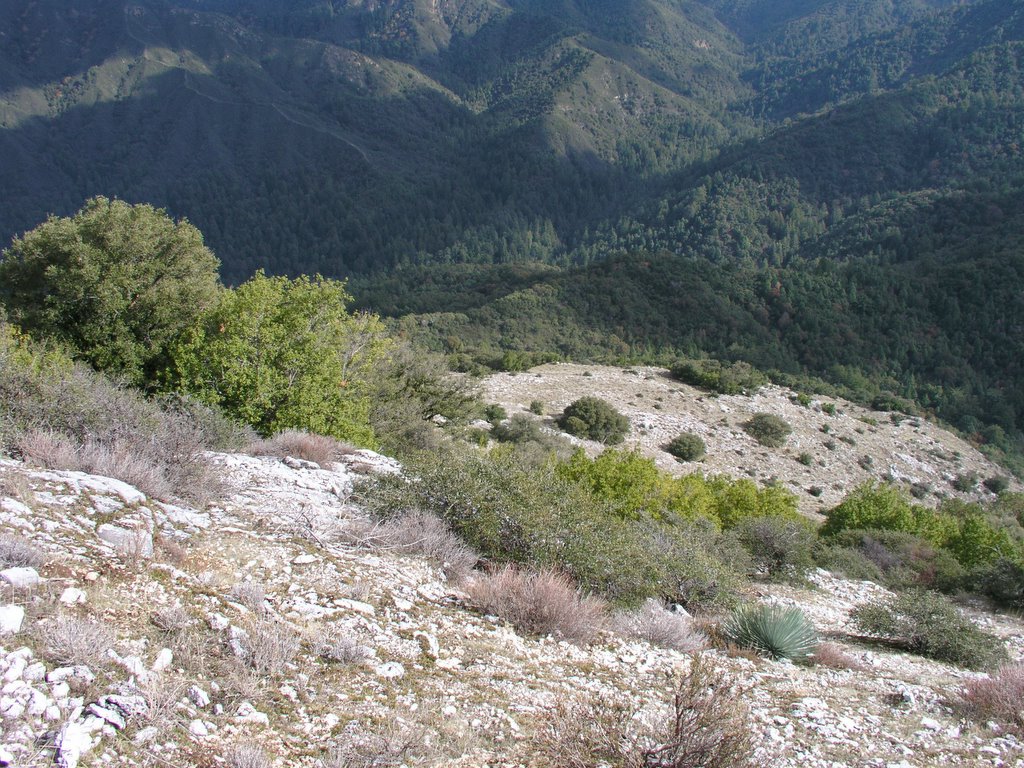
 A nasty little climb awaits after the stream crossing. It gets nastier near the end of the first section, with loose pebbles and ruts, but then it flattens out for 100 ft before hitting you again (but not as hard). The reward? A view of Hall's Valley. All of this land was first inhabited by the Werwersen Ohlone Indians.
 1637 ft: at the junction with Canada de Pala Trail. Looking ahead, the rest of Hotel Trail continues climbing for another 1.2 miles to Eagle Lake at 2089 ft.
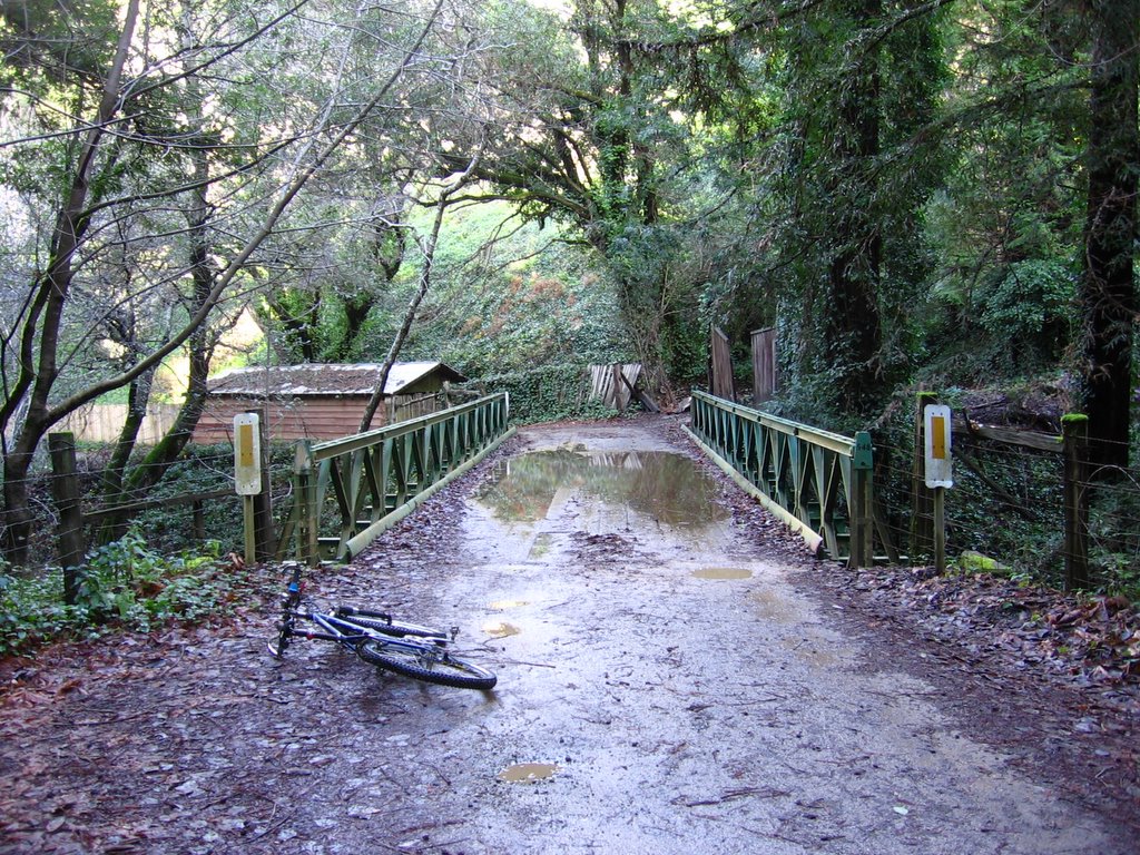
 Eastbound Canada de Pala Trail descends abruptly for a 1/4 mile to a culvert before climbing steadily out of the valley.
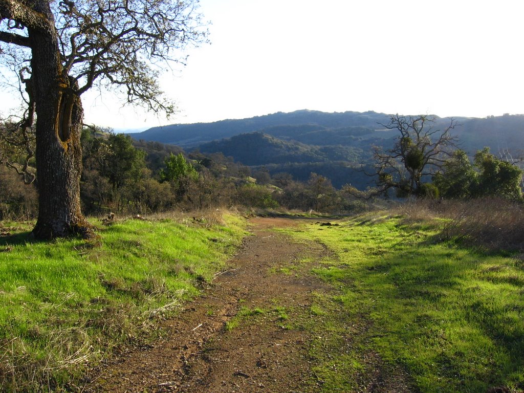 Looking back at Hall's Valley.
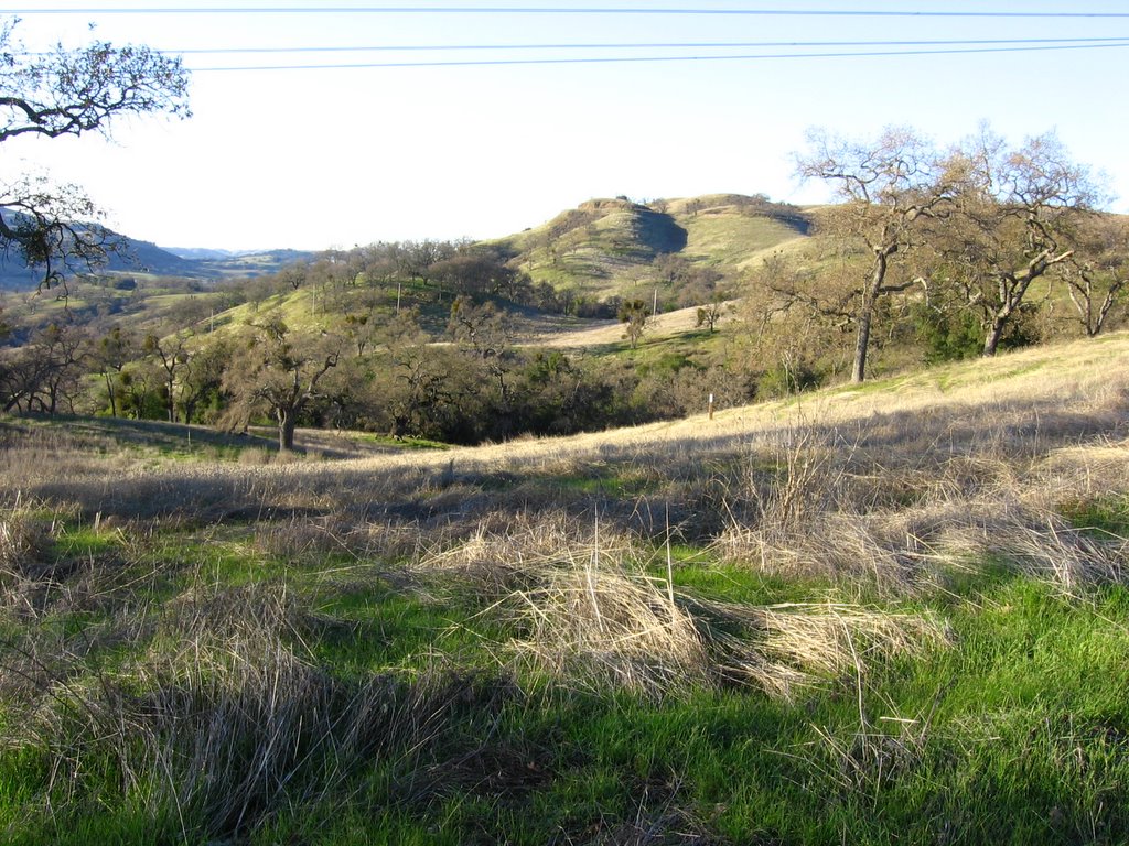 The trail continues around the top of the ridge.
 A closer look.
 But for now, I'll just focus on what lies ahead of me.
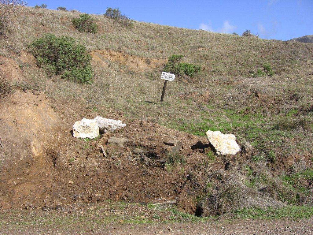
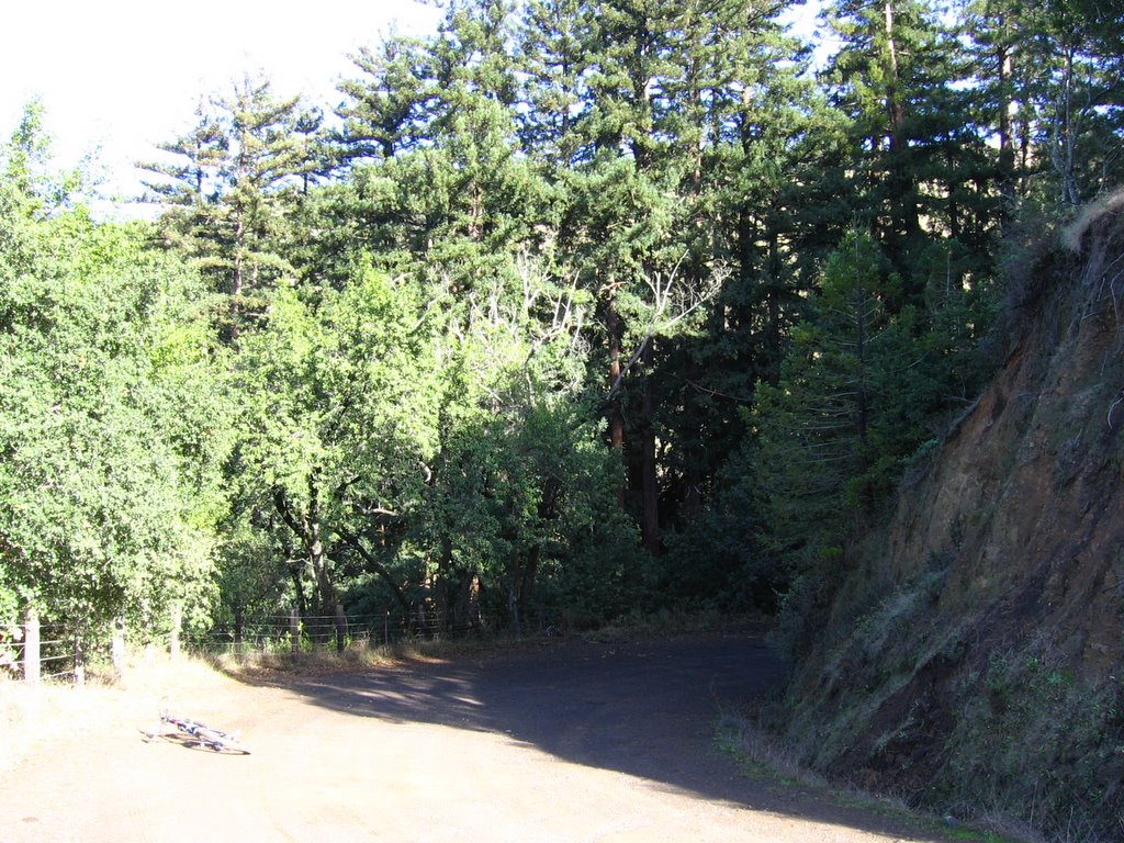
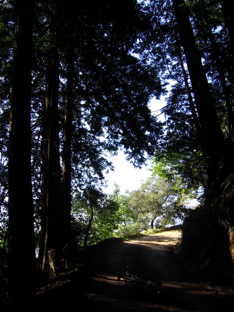
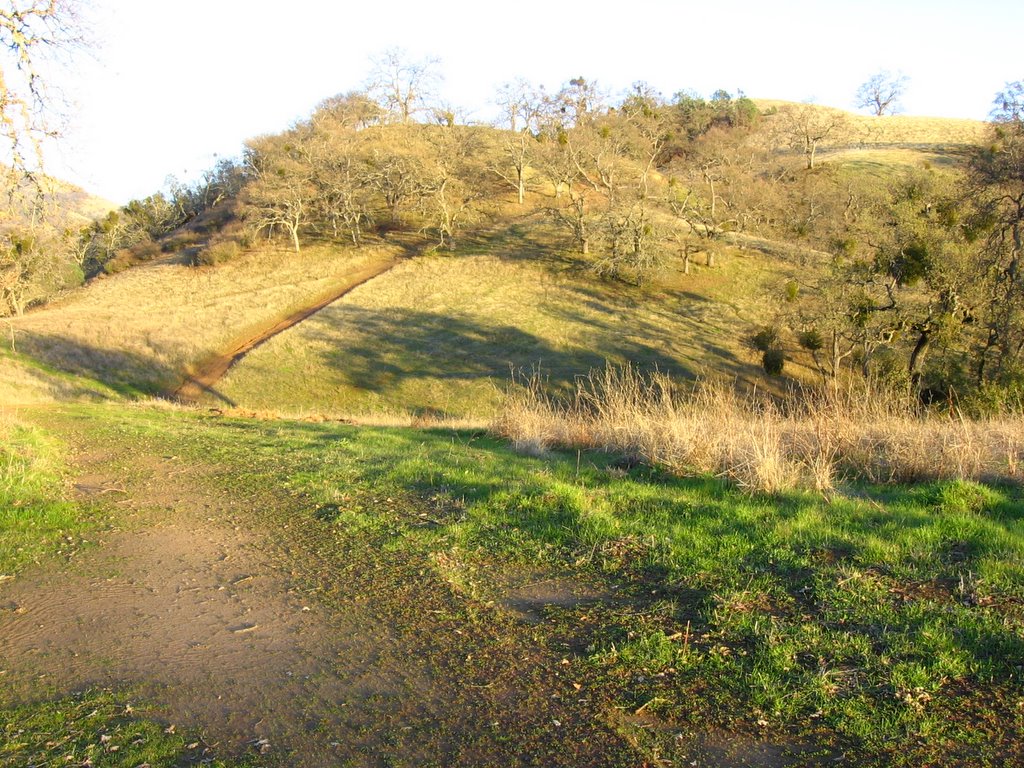 Just before the grove of trees is the junction to Mt. Hamilton Rd. The climb was nasty, rutted, soft and muddy. Bonhoff Trail climbs into the grove of trees and beyond.
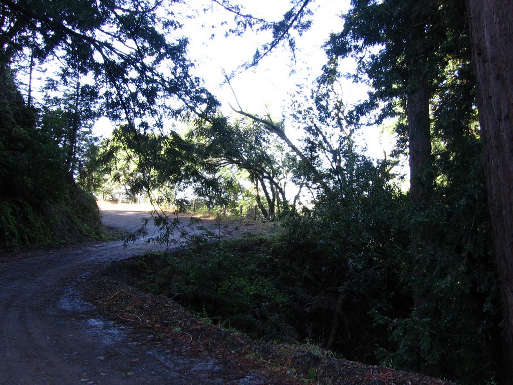
 Another view. Sign states, "Twin Gates Trailhead."
 Looking across Mt. Hamilton Rd.
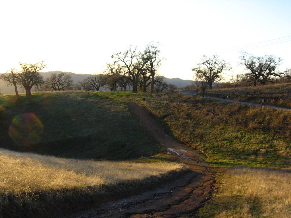 Looking back after the rutty climb.
 Bonhoff Trail going up.
 Canada de Pala Trail continues climbing after the Twin Gates parking lot. There are lots of cattle along this section of the trail. A lot of calves too, but unlike their sisters at Point Reyes, the mothers here aren't aggressive. This little fella was curious enough to interrupt his feeding a couple of times to stare at me. (Yeah, spandex does that to people--and cattle.)
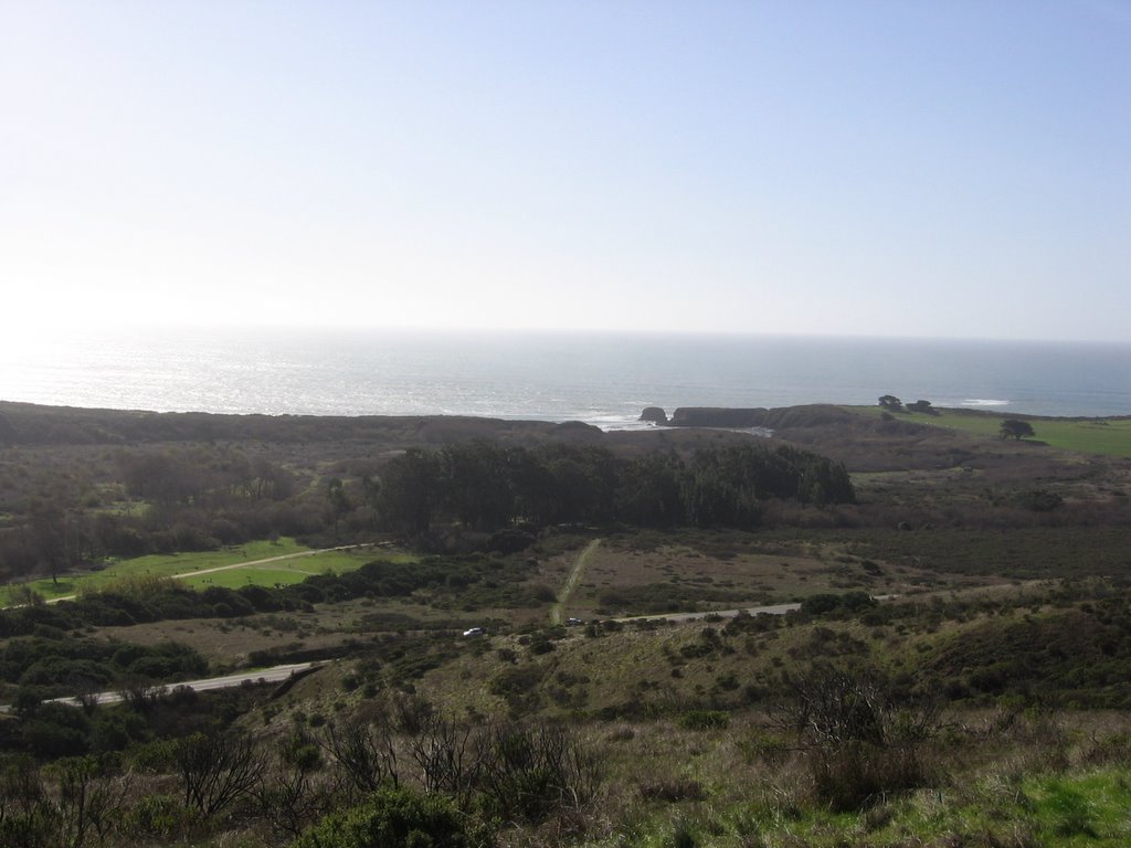
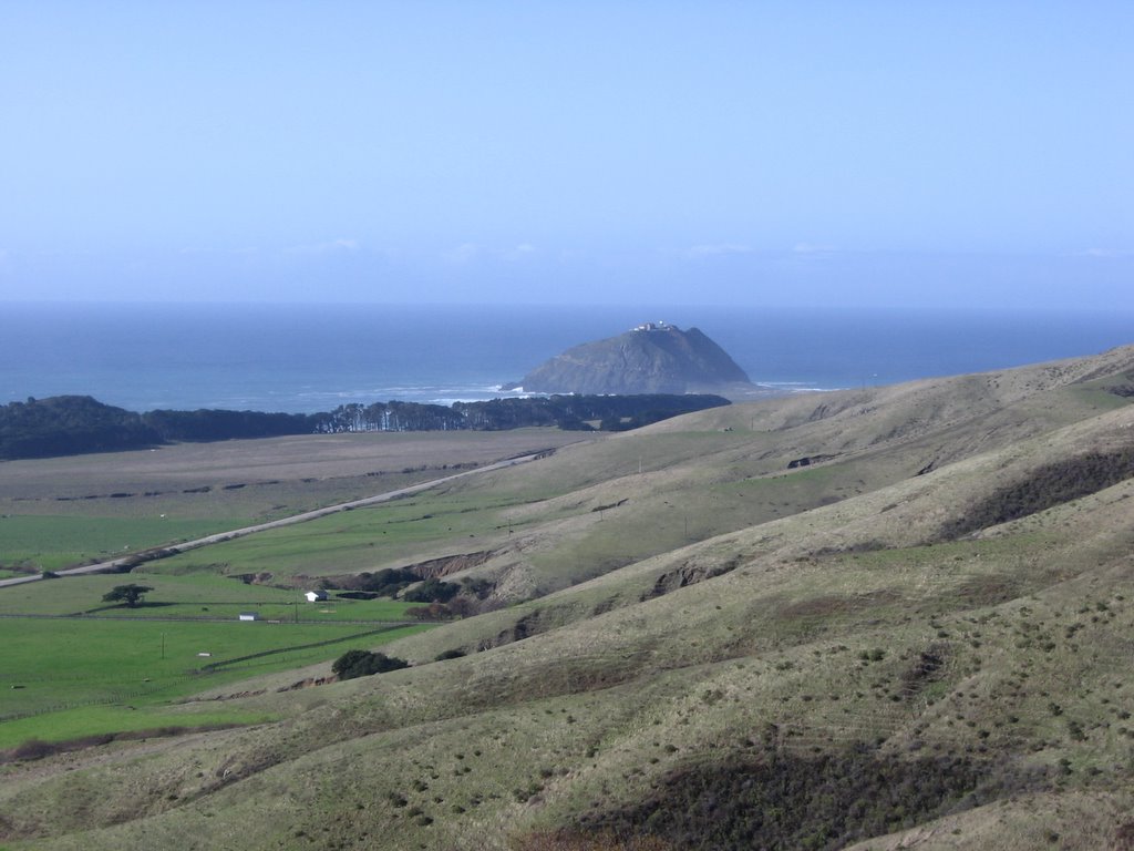
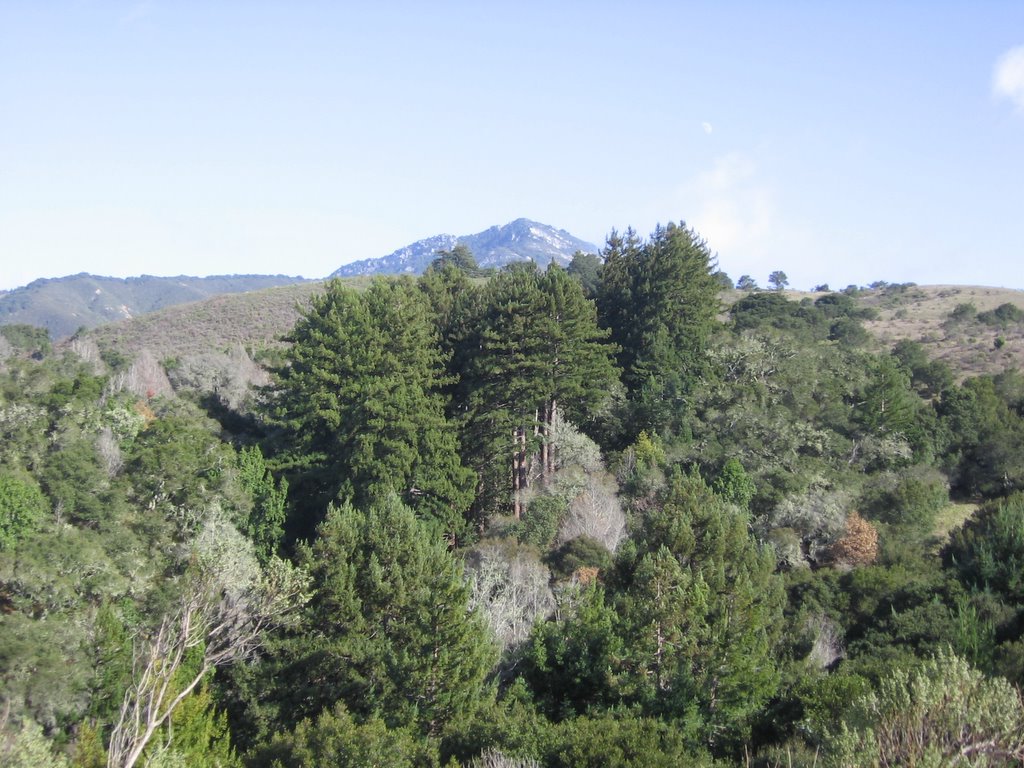
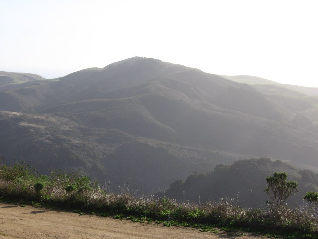
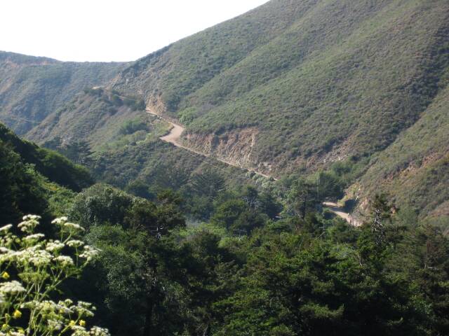
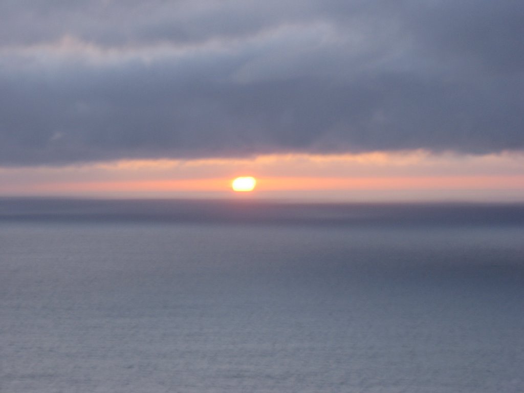
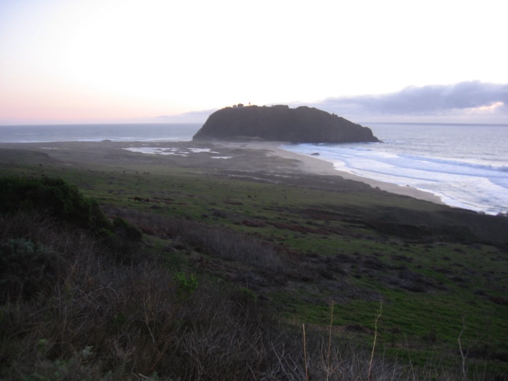
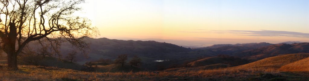 2744 ft: sunset. Grant Lake (1621 ft) can be seen in the center, and the San Francisco Bay Area just to the upper right of it.
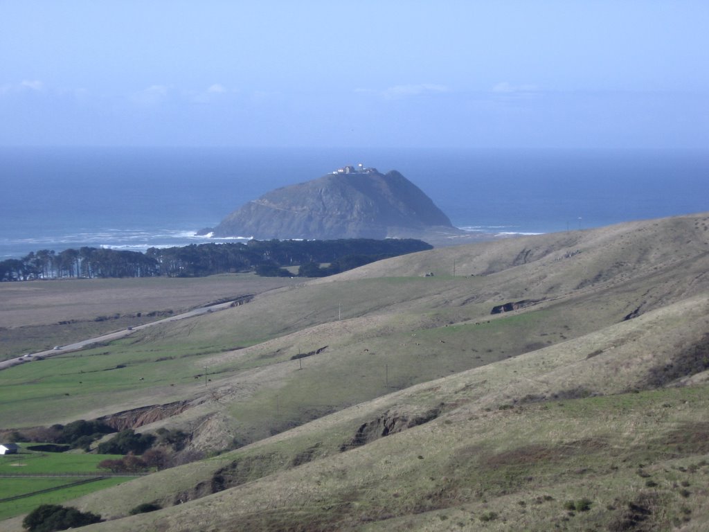
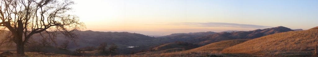 An even wider view capturing the ranges on the right (but Blogger will shrink it *sigh*).
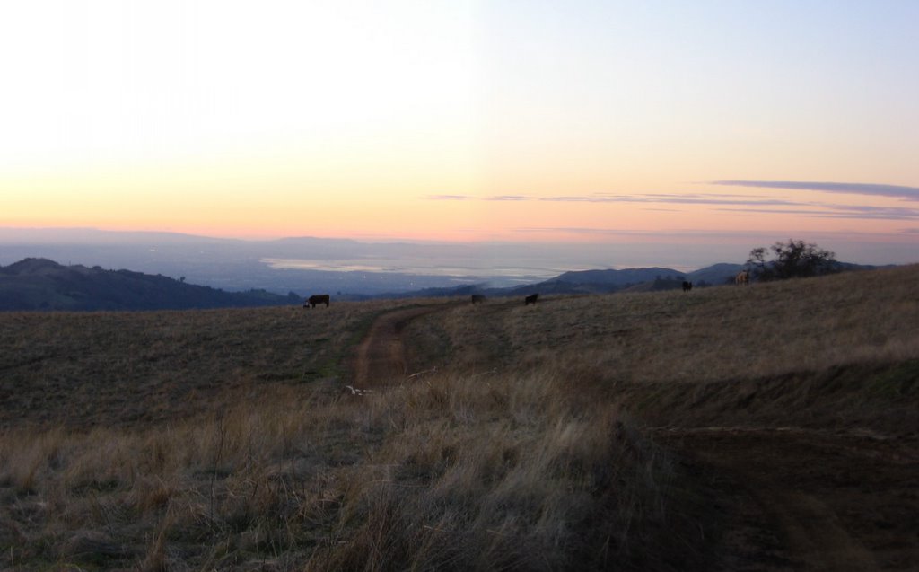 Just before the descent.
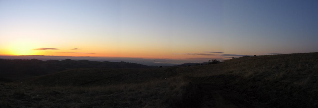 A wider view.
 Boy, am I glad I brought my lights.
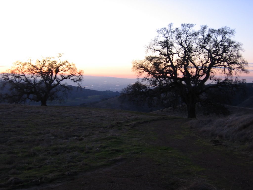 Junction with Los Huecos Trail. I make a left here. If you look closely, you can see the lights of the Bay Area between the 2 trees.
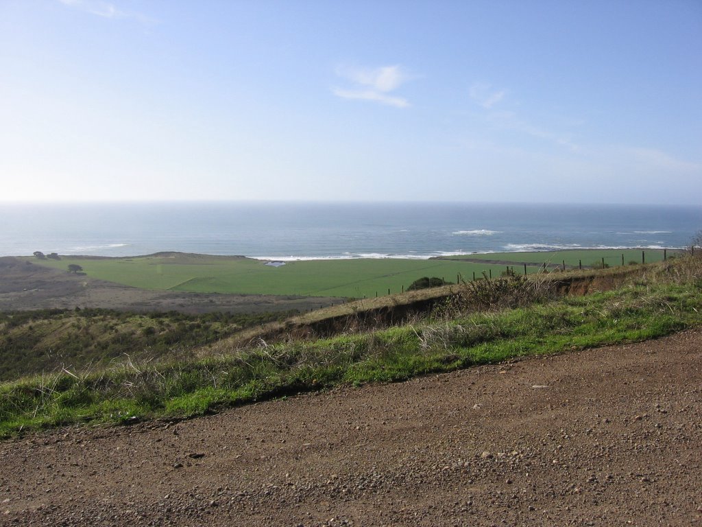
 Los Huecos Trail descending to Hall's Valley (and Grant Lake). Current temperature: 35 F (1.7 C).
 Now that's what I call creative vandalism :P
There are two such signs, and both have been vandalized in the same manner. The signs are there for a good reason: check out the gradients below.
 Both have average grades of 20%.
 Thankfully though, the trail is is well maintained, with no ruts, rocks, roots, branches or holes.
As it was rather dark, I could not take advantage of the fact that Los Huecos Trail drops 1114 ft over 1.8 miles and bomb down the trail. I still managed an enjoyable 21.54 mph (34.46 km/h) though. That said, however, the descent down Los Huecos Trail in twilight had its own brand of "fun": I got to see a Bobcat, 2 European wild pigs, and a mountain lion.
Kudos to the rangers for not locking my car in the parking lot as I only reached my vehicle well after sunset.
Epilogue:
Total distance: cyclo-computer 8.72 miles (13.95 km) / GPS 8.74 miles (13.98 km) / TOPO! 8.79 miles (14.06 km).
Total elevation climbed: Altimeter 1860 ft (567 m) / GPS + TOPO! 1679 ft (511.9 m).
Temperature range: 35 F to 57 F (1.7 C to 13.9 C).
Fluids consumed: 1 liter of CytoMax.
Ride conducted solo.


