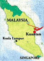
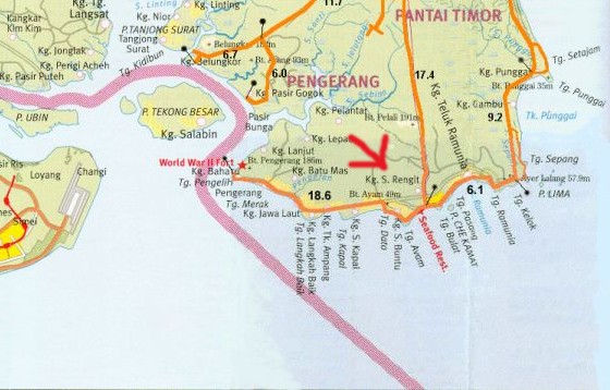
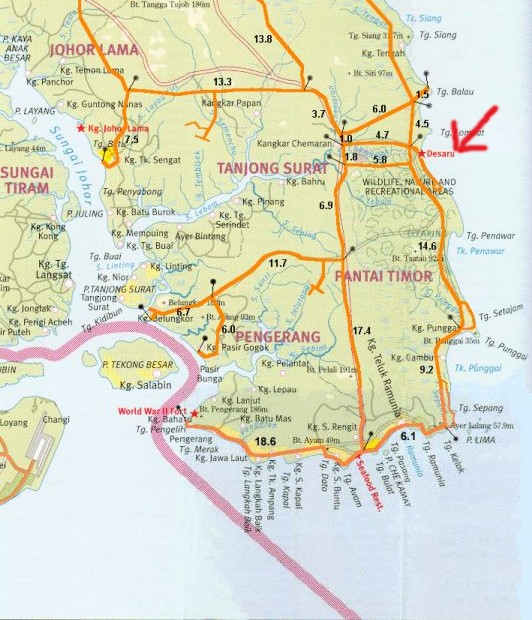
A large scale map for those unacquainted with this region.

Where the city of Kuantan is located in East Malaysia.

On the boat to Pengerang.

The blue line depicts the vessel's course from Changi Village, Singapore to Tanjong Pengelih, Johor, Malaysia.

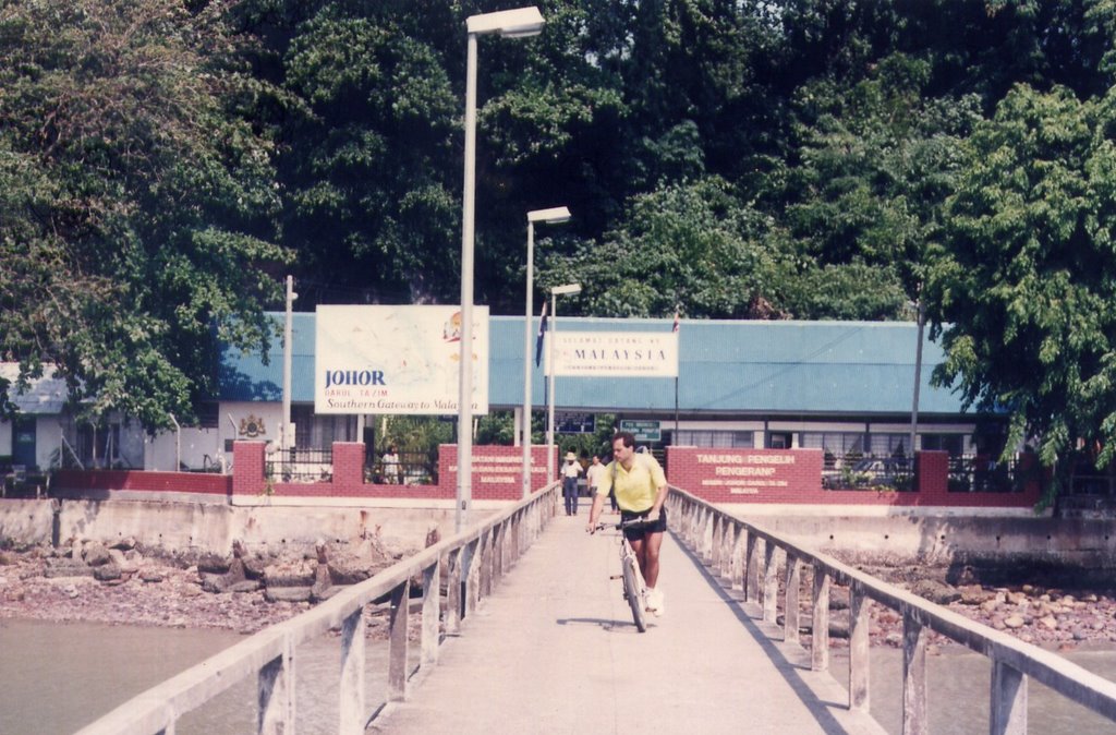
Immigration checkpoint at Tanjong Pengelih.

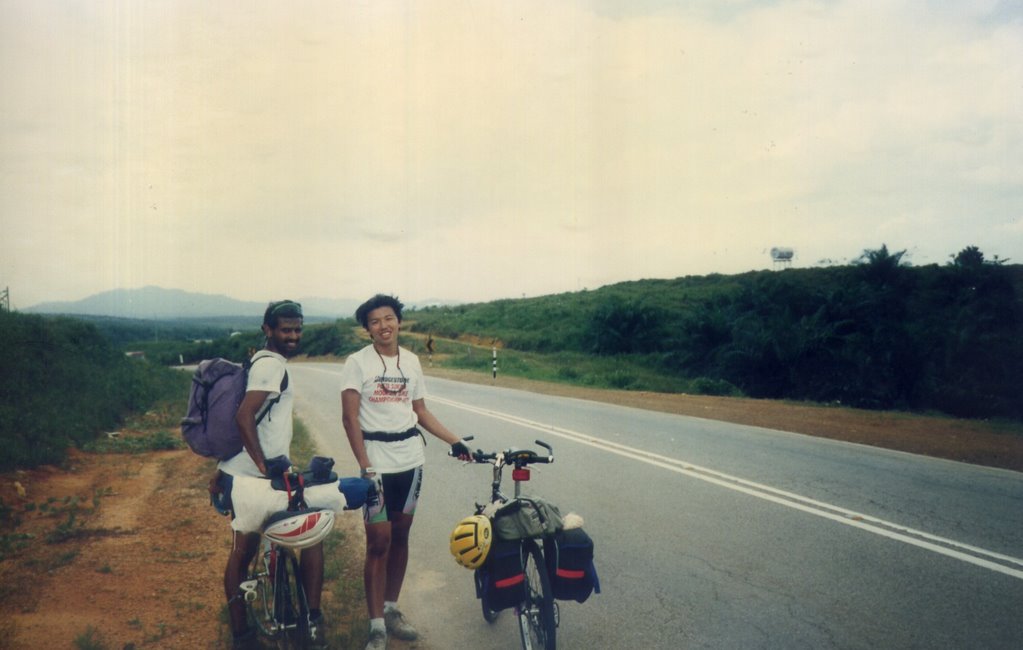
Gearing up.

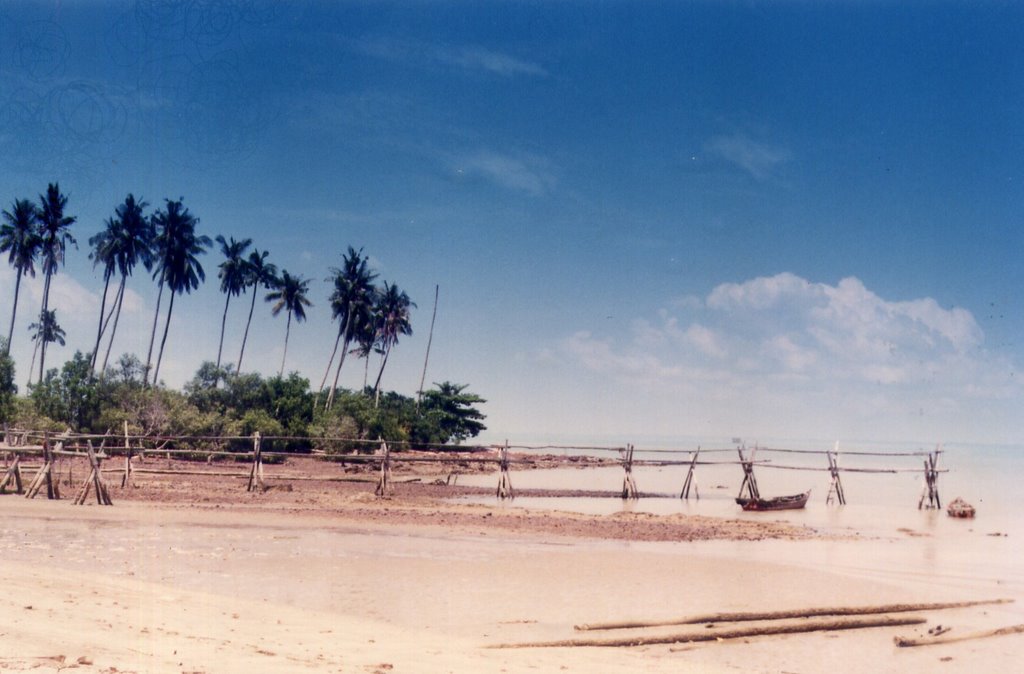
Rustic pier.

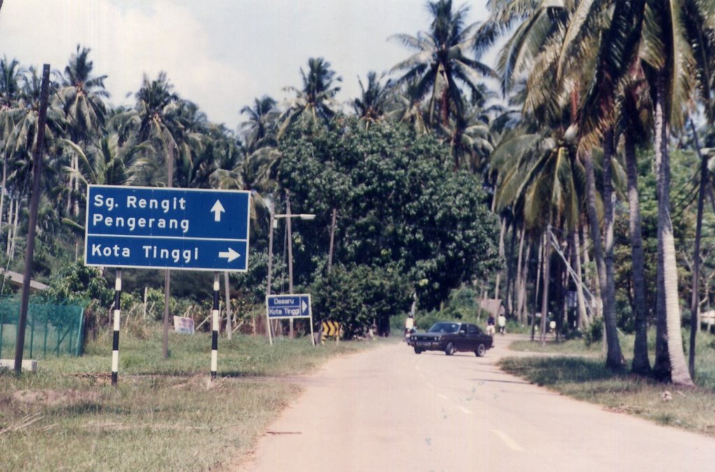
Heading towards the town of Sungei Rengit.

Sungei Rengit.
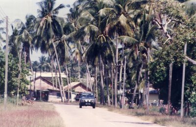
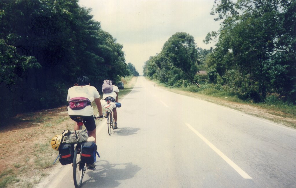
The road passes through many kampongs (villages) along the way.
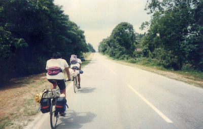
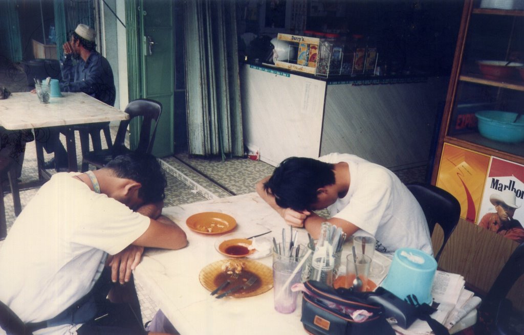
We had lunch at Sungei Rengit and then rode on, past
Desaru, to Bandamas, covering a total distance of 56 km (35 miles) before calling it an easy 1st day.
At Bandamas, a friendly coffee shop proprietor (where we had dinner) offered us the use of the shop floor for the night. However, as the tent we brought along was an A-frame tent, we had to use it as a giant sleeping bag for 3 instead.
In the middle of the night, I felt something move against my arm. Upon turning on my flashlight and checking under the tent, I found a pair of green eyes staring back at me. I shone the light around and found other pairs of eyes in the darkness too. It turned out that the kampong cats decided to snuggle into our giant makeshift sleeping bag for a cozy snooze ^_^
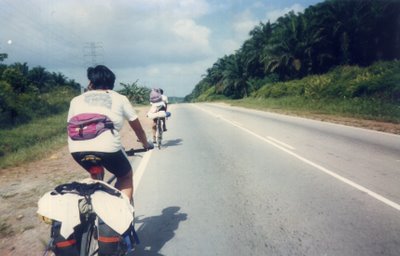
The previous day's clothes drying on the rear rack.
Logbook entryBarely slept all night. The cats slept all over us. At one point, there were 2 cats sleeping on Francis' chest.
Ebnu and I got up countless times to shoo the friendly furballs away but they always end up sneaking back. After the nth time, we gave up (besides, they had no fleas and were warm). We took off after a hearty breakfast at 9 AM. It was nice going until we passed the junction to Kota Tinggi. Ebnu went into this huge pothole and nearly crashed. I nearly flew over the handlebars myself.
 Logbook entry
The hills came at us with a vengeance. Countless climbs, giant potholes, deep cracks wide enough to swallow our wheels, and smelly, squashed, oozing, and festering roadkill (birds, snakes, monitor lizards, and a very ripe, bloated wildboar) were the order of the day. We had a bit of excitement when a cobra darted out of the roadside vegetation to take a bite out of Ebnu (WTF?). Thankfully the viper missed his calf and hit the spokes instead. I wonder what would have happened to the snake if Ebnu had
bladed spokes on his bike.

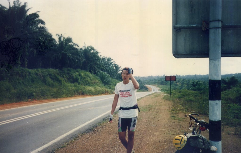
After 5 hours of cycling, we passed by a roadside coffee shop. Ah, just in time for lunch! Here, we took a 15-minute siesta before getting on our way.
 FRANCIS:
 Good news, guys! We
are on the right road!
EBNU &
BEN: *Trying to look real thrilled*

"What do you mean there are more hills?"
Logbook entryThe ride to Mersing in a word?
WTF. Epic. For 3/4 of the way, we were roasted by the blazing sun (What monsoon?), and then nearly drowned in the last leg (Oh,
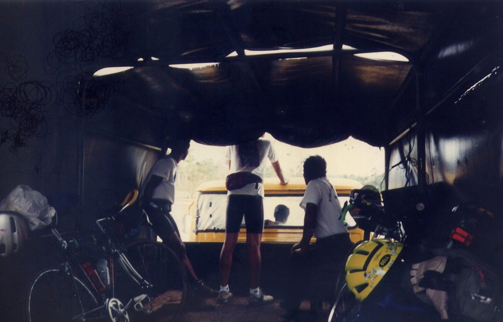
that monsoon!). By 8 PM, we had covered 120 km (75 miles) and were still cycling half-blind in the rain and darkness. A truck driver, who passed us earlier during the day to deliver goods to Desaru, stopped on the return journey and begged us to give up the madness and accept his offer of a ride.

Never look at a gift horse in the mouth.

The red arrow highlights the town of
Mersing.
It turned out that we were only 8 km from Mersing when we got on the truck. After being turned away from 3 inns (we insisted that we bring our bikes into the room with us) we finally checked into a mid-priced establishment by the name of The Country Hotel. RM$50 a night, with air-conditioned, attached bathroom, TV, no uninvited cats. Mmm...
Took a day off to rest and stuff ourselves silly with food.

The next morning, we left Mersing at 8:30 AM.
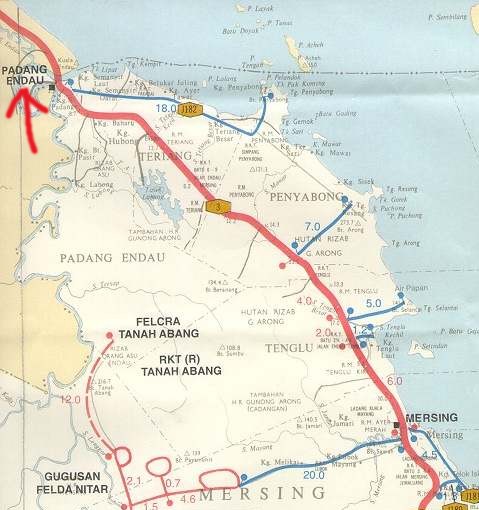
Passed Padang Endau — 36 km (22.5 miles) away — at 11:00 AM. By 1:15 PM, we had reached
Kuala Rompin — another 40 km (25 miles) away.

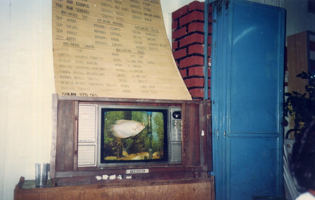
A TV converted into an aquarium. (It probably predates the Apple Blueberry iMac fish tank too). We gobbled up 2 orders of lunch here and then napped on the table for 30 minutes before pushing on.

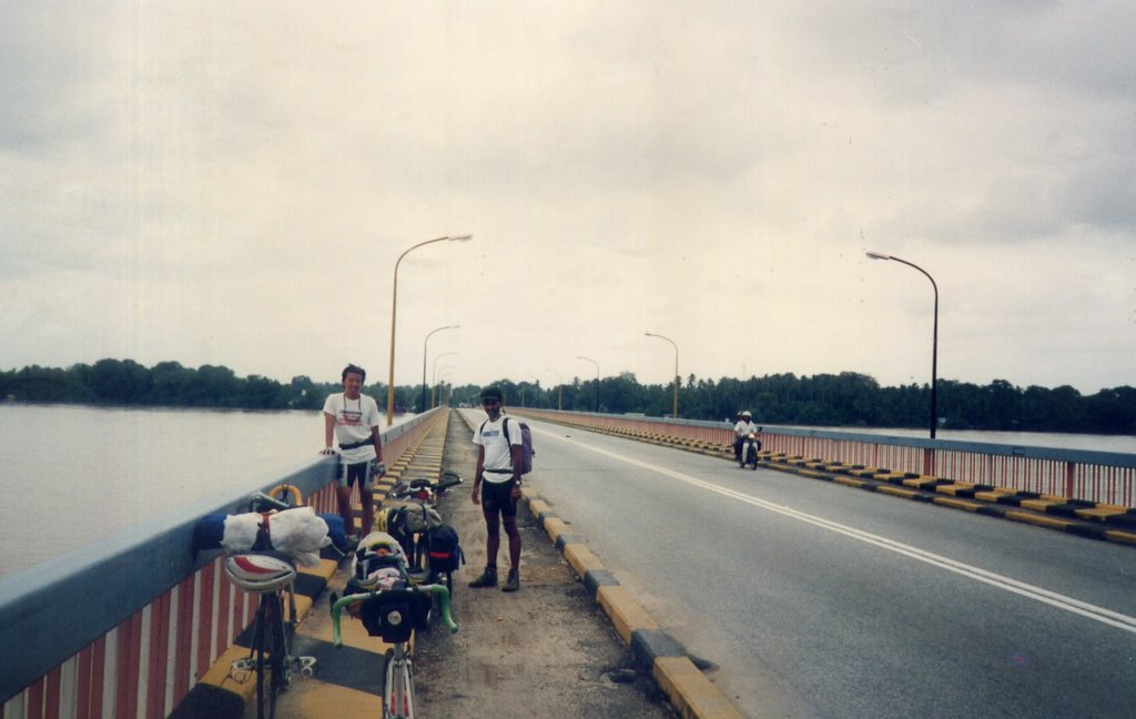
Crossing another river after Kuala Rompin.
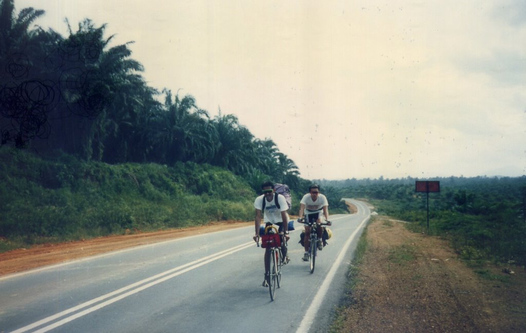
Logbook entry'Planned to push until 6 PM and then camp out. Landscape after Kuala Rompin is varied: townscape gave way to rural kampong, and then, even that gave way to large uninhabited swathes of mangrove forest. For hours we rode without spotting a human dwelling or another road user.
The coastal road passed by a nature reserve at some point. The greenery is stunning: huge teak and needle pines lining a road that lazily snakes across the landscape. All too soon, this gave way to a barren landscape of sand and the occasional coconut tree as the road decidedly heads north, parallel to and never more than 200 meters (330 feet) from the sea. Here, the elements steadily whipped us with a steady lashing of rain as our thighs burned to power our wheeled steeds through the unrelenting headwind.
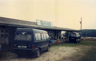
Fully intending to camp out, despite being soaked in perspiration, salt spray, road grime and rain over 112 km (70 miles), imagine our pleasant surprise when we discovered that Nenasi is a fishing village — one with a rest house too!
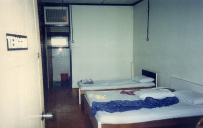
A room for 3 tired (but happy) cyclists and their steeds.
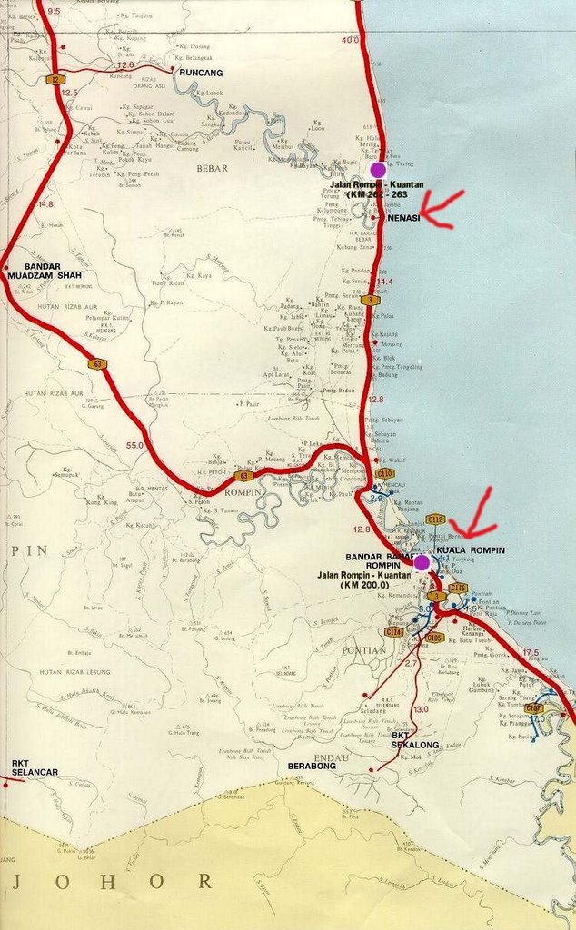
A map showing the relative locations of Kuala Rompin and Nenasi.

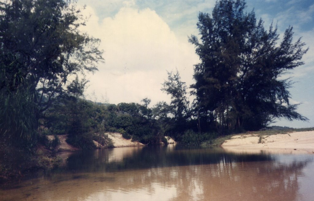
Having reached Nenasi ahead of schedule, we decided to check out the seashore and discovered this secluded swimming spot. Right before this pristine river empties into the South China Sea, it becomes a deep swimming hole. The sandbank demarcates the spot where the river cuts through the beach.
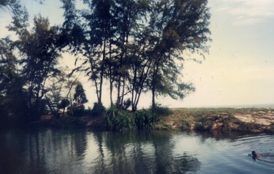
Ebnu taking a swim. It is quite an experience to be swimming in freshwater whilst breathing salt spray, with the roar and crash of ocean waves in your ears.

Doing my impression of
The Swamp Thing. The South China Sea lies no more than 50 meters (165 feet) behind me. We ended our freshwater dip by swimming to the right, and letting the river current push us into the sea. Now that was fun :-D

Help! A crocodile got me!

After that, we had a huge dinner of BBQ-ed seafood (with lots of
sambal belacan) in this peaceful fishing village.

The next day, the rural landscape resumed dominance as Nenasi receded in the distance. This is actually the "business district" of an unnamed village of 3 huts and a buffalo. I guess "the mall" wasn't open that day :-P

Speaking of buffalo...
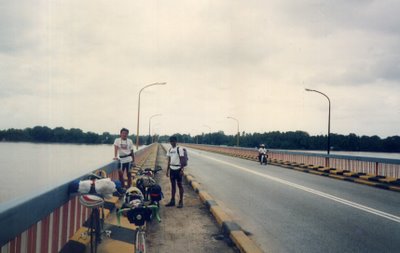
The landscape became increasingly urbanized after Pekan.
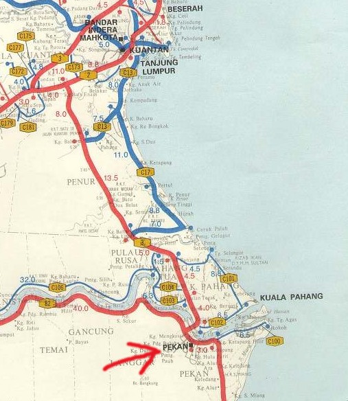
Map of the relative location of
Pekan, the royal town of the state of Pahang, Malaysia.

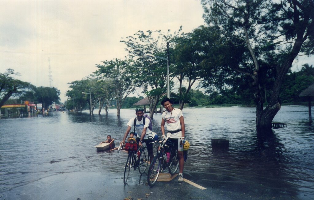
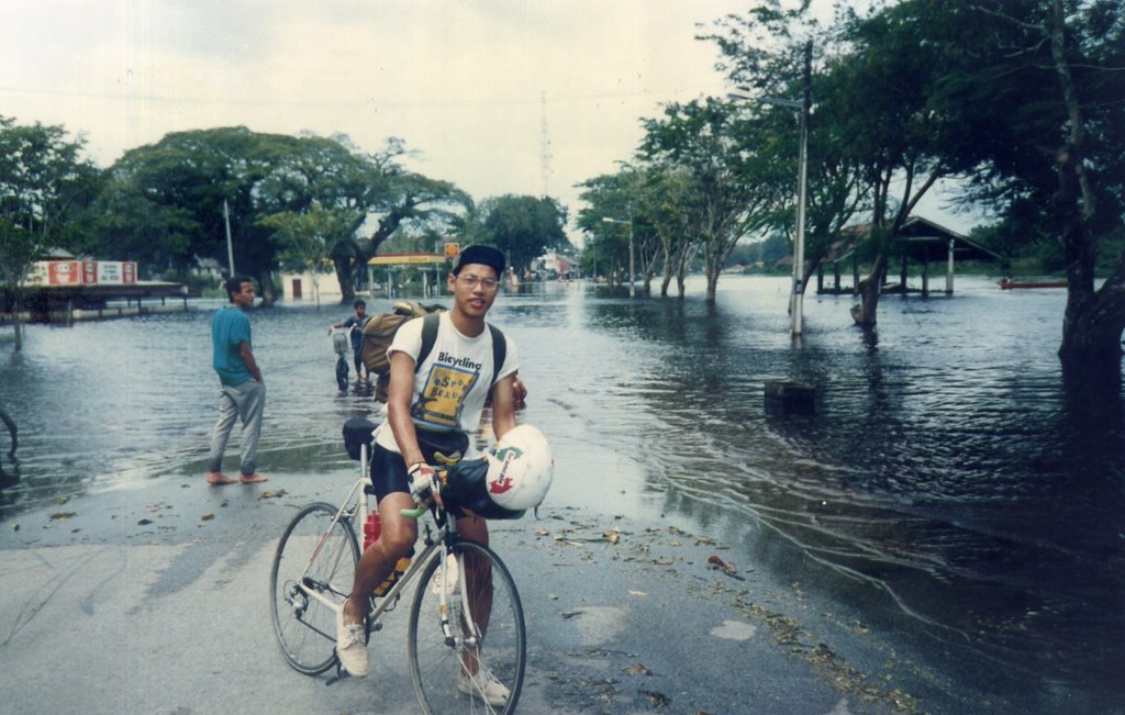
Past Pekan, having crossed the river, we discovered that the coastal road (and many kampongs) were flooded, rendering passage to all but the heaviest vehicles impossible.

Francis trying to convince us to swim for it.
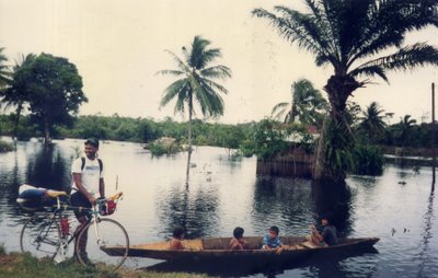
Further on...
EBNU: Hey, look, guys! Maybe we can trade our bikes for their
sampan (canoe)?

We figured a way around by using an alternate road with higher elevation.
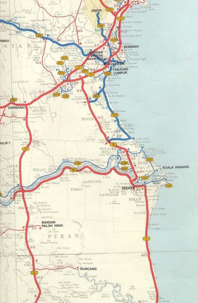
Another map of the general area.

A little later...
Masjid Negeri Sultan Ahmad Shah, the State Mosque of Pahang, is located in the city of
Kuantan.

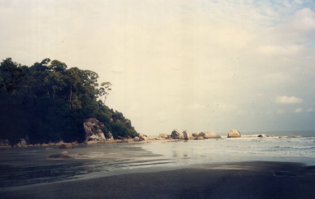
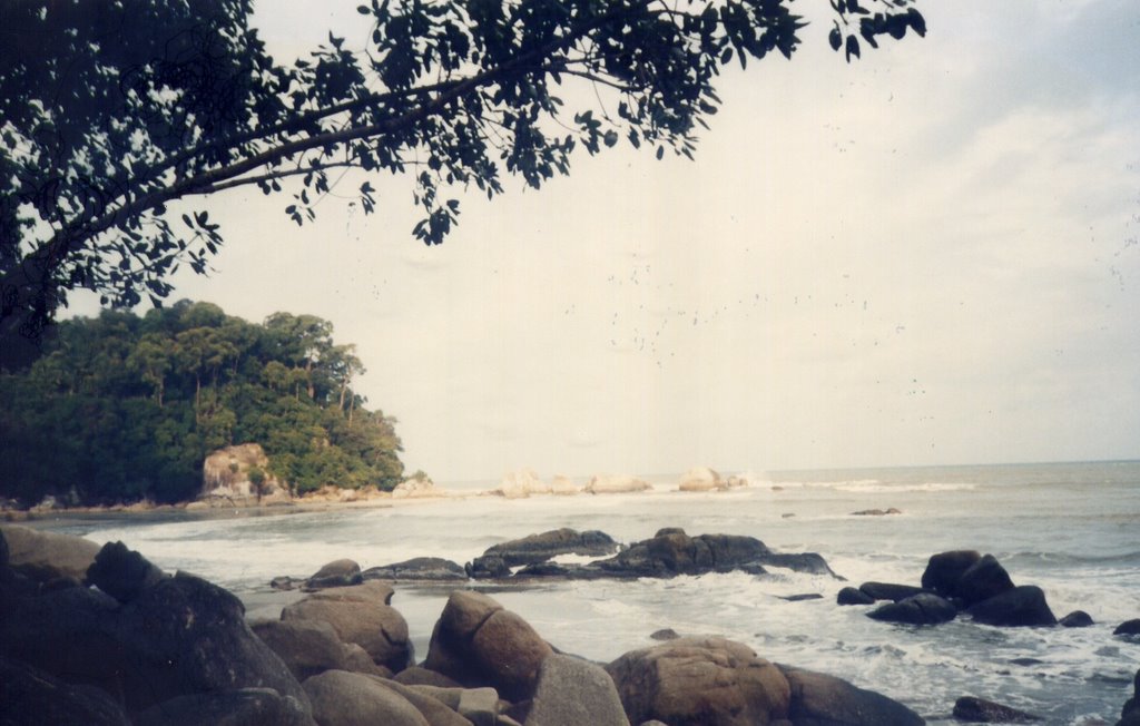
Thereafter, we headed toward Teluk Chempedak, a beach popular with the locals.

Some parts of the beach are rocky, while
others...
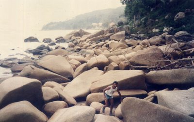 EBNU:
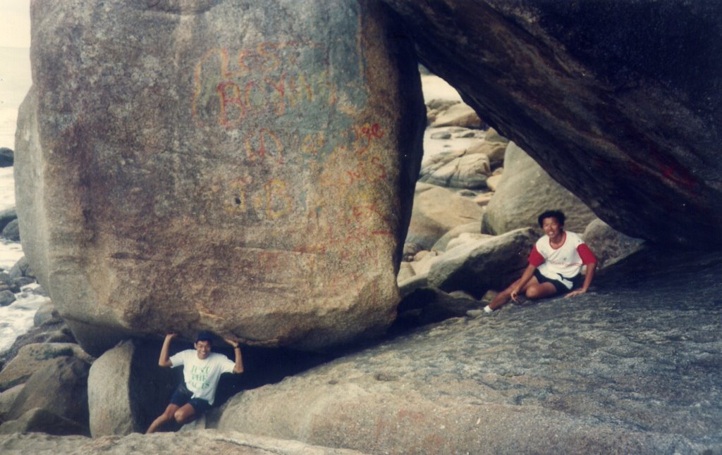
EBNU: Big rocks!

(Yes, I made it, but the sand on the other side wasn't as forgiving as I thought.)

Ebnu gets extra points for style.
 FRANCIS:
 Hurry up with the shot, dude! My arms are getting tired!
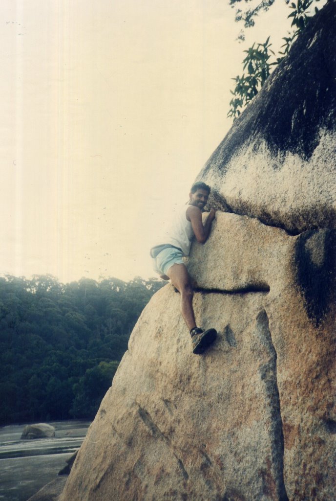
Going up...
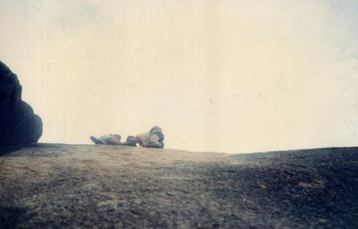 FRANCIS:
 Um, guys, don't you think you're a little too high up?
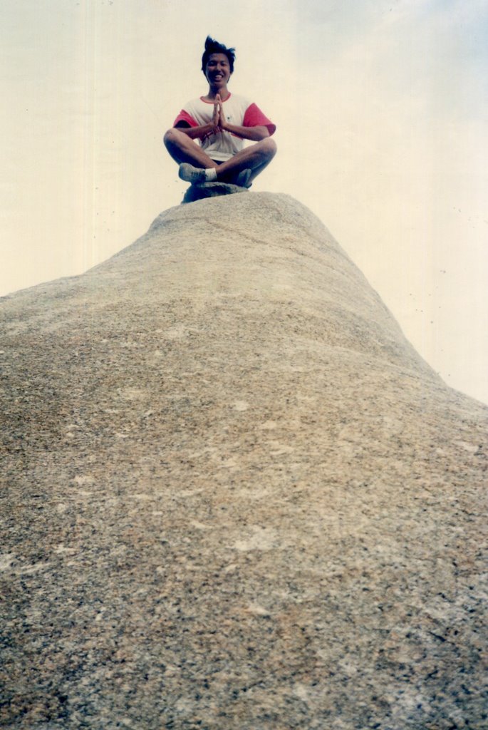
The wind in my hair (or is it just the realization that I eventually have to climb down?).
 Epilogue
:
Total distance: cyclo-computer 418 km (261 miles).
The stretch between Desaru and Mersing is hilly, dusty, and boring. If I were to do it again I would start from Mersing and ride north. Food is good and cheap, and accommodation, easily found. Shutterbugs take note: you can get into trouble for taking pictures of Malay females in Kuantan. Be sure to seek permission first.