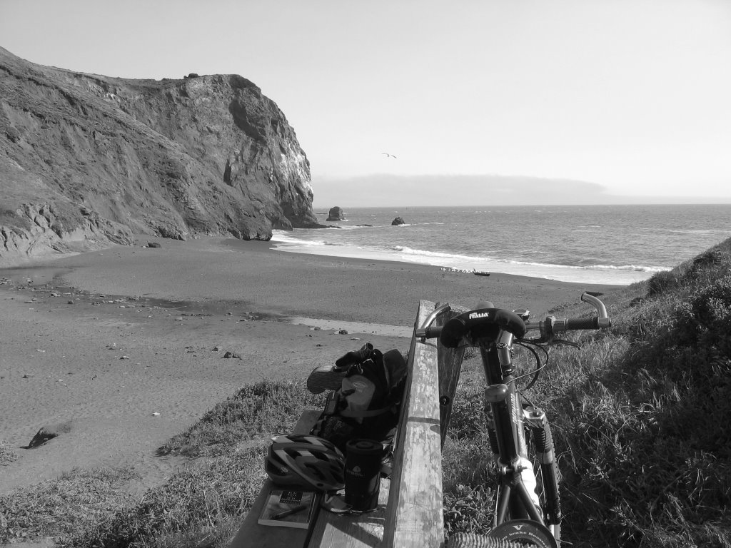


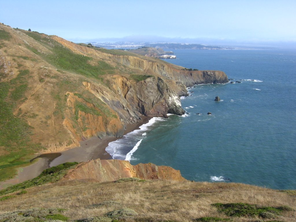


An aerial shot by Robert Campbell. Tennessee Beach is at the lower left hand corner; in the mid-ground is Rodeo Beach; across the Golden Gate Bridge lies San Francisco, shrouded in fog.


 Map of today's ride. 1581 track points laid by the GPS unit. Decided to be conservative this time and follow the route laid out in Mountain Biking Northern California's Best 100 Trails. For the curious, this trail is numbered #27.
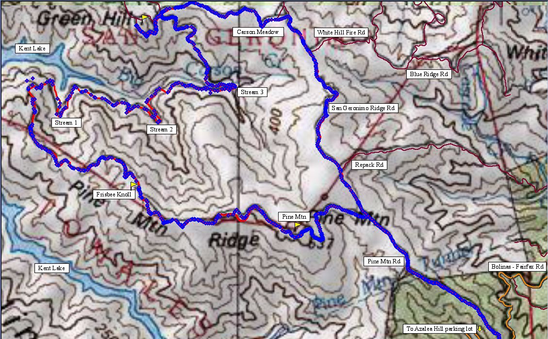 TOPO! level 5 map with greater trail detail.
 TOPO!'s elevation profile.
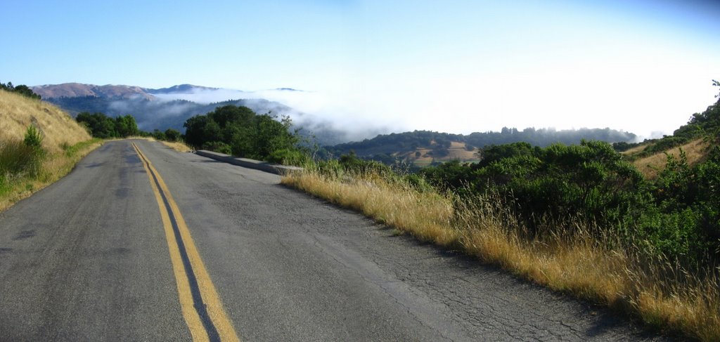 9 AM. Back on Bolinas - Fairfax Road.
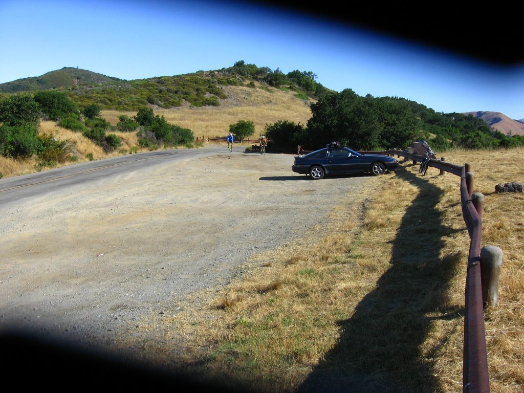 Elevation 1080 ft. Started from the parking lot at Azalea Hill this time.
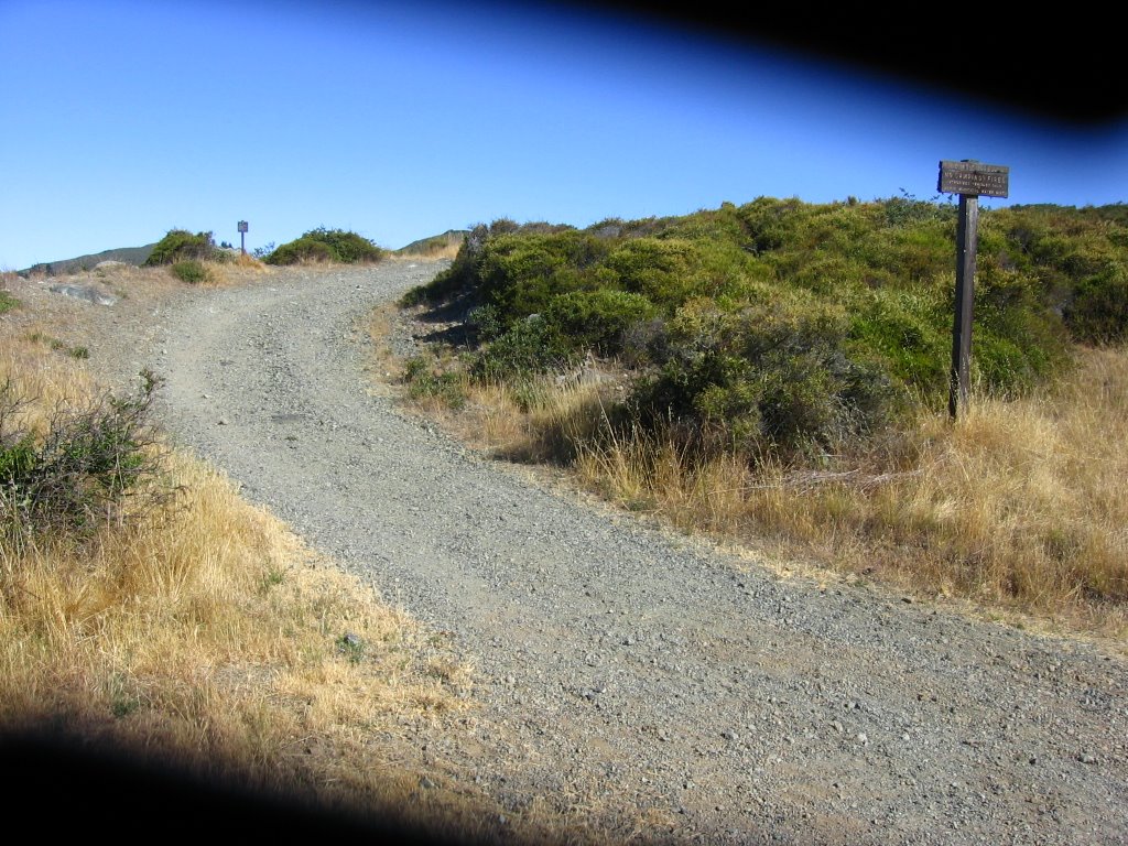 Pine Mountain Road. It was only now that I realized the automatic lens cover on my camera had jammed due to dust. I thought the shadows were due to heat damage to the LCD.
 Climbing up the first significant rocky and steep section of Pine Mountain Road.
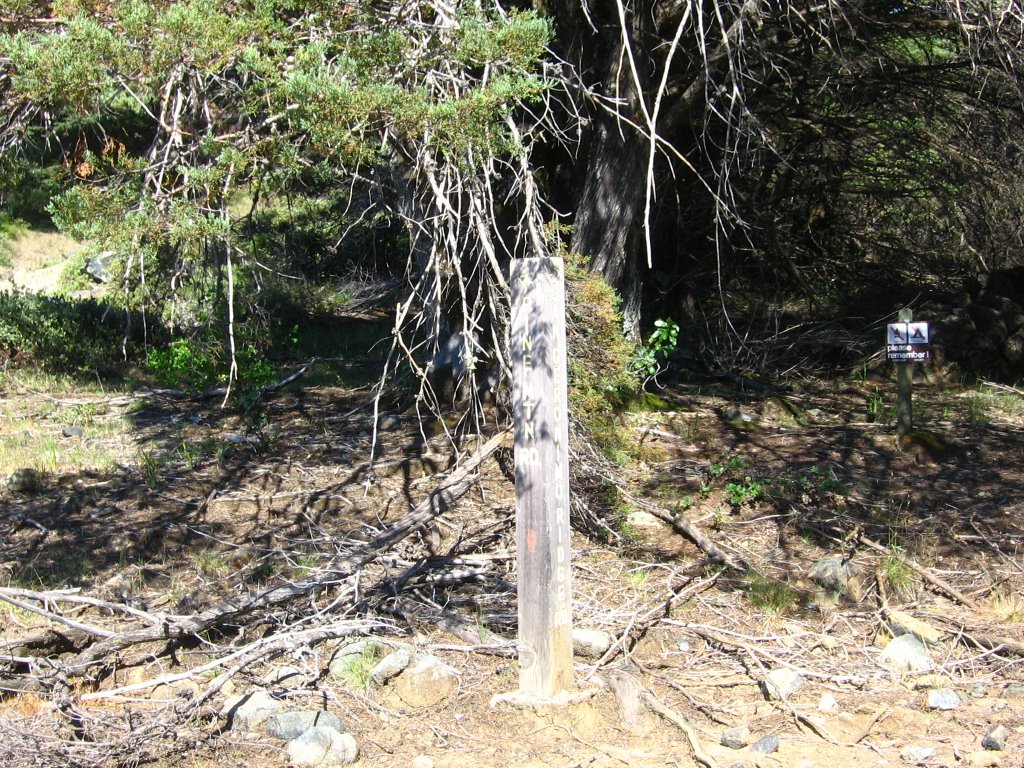 Shortly after passing Oat Hill Road on the brief downhill is the junction with San Geronimo Ridge Road. Take a left to continue on Pine Mountain Road here.
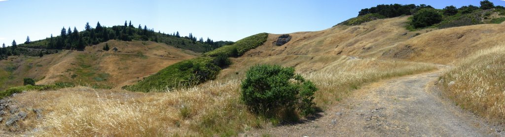 Back here.
 The Horse Flies were just as vicious today. Despite what the label touts about 12 hour protection, I had to reapply the insect repellent.
 A stiff breeze was blowing through this pass (which was a godsend).
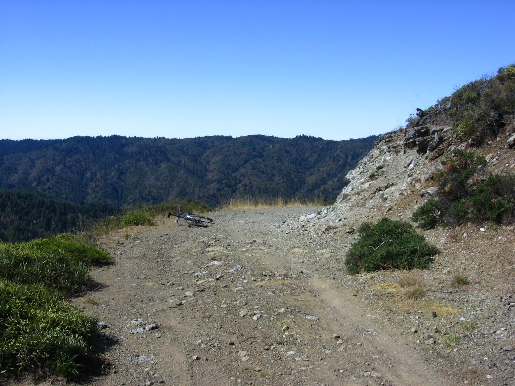 Elevation 1750 ft. The highest point of Pine Mountain Road.
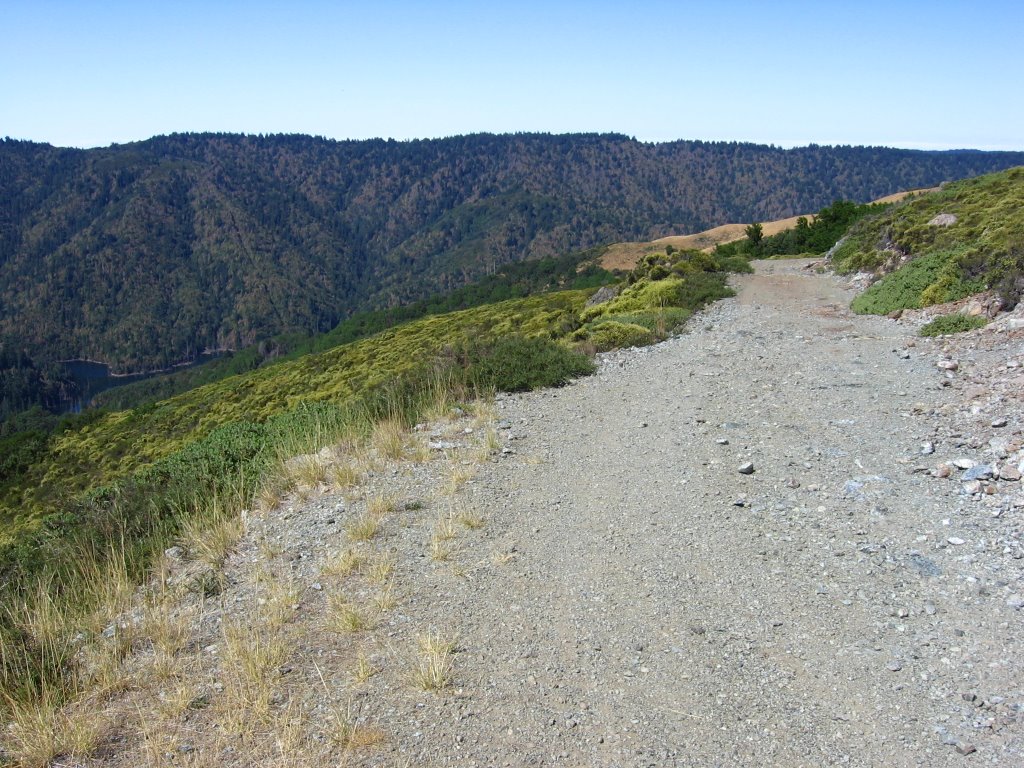 Pine Mountain Road rolls along Pine Mountain Ridge from here.
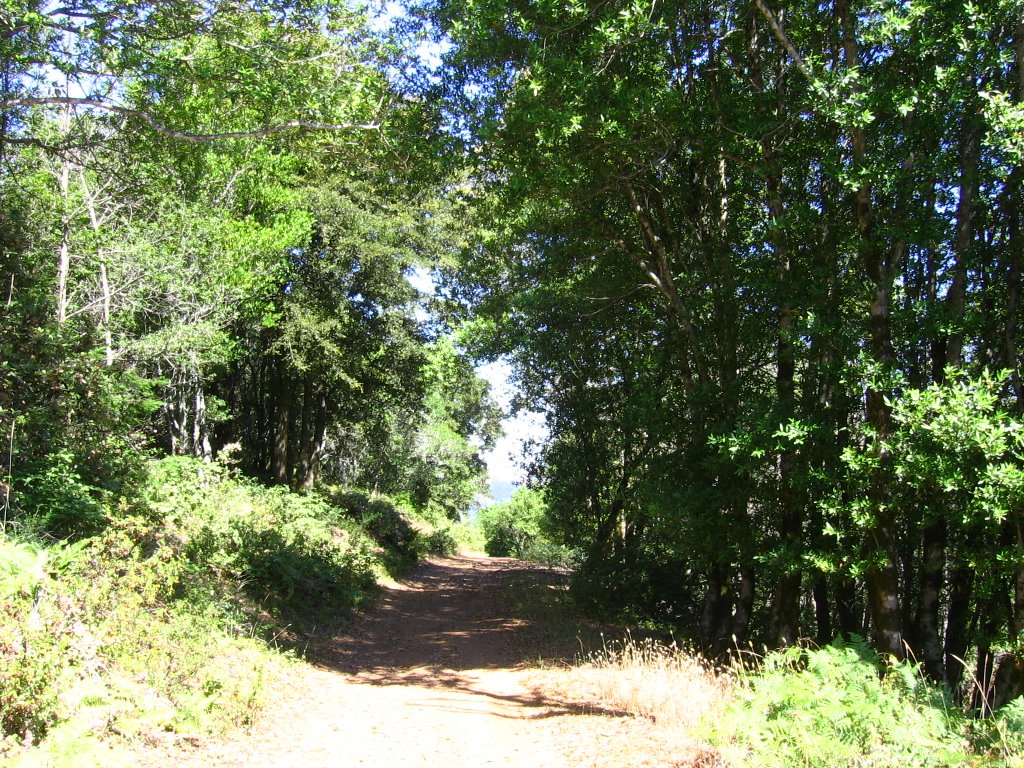 Sometimes passing briefly into shady groves.
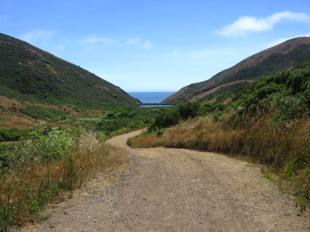
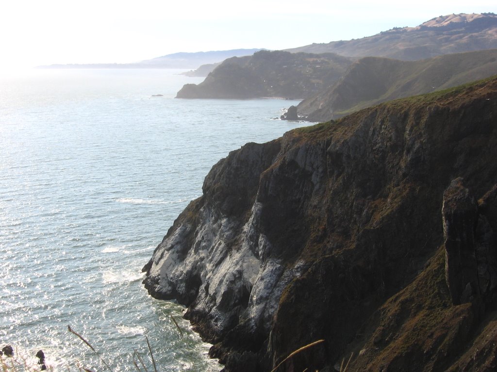
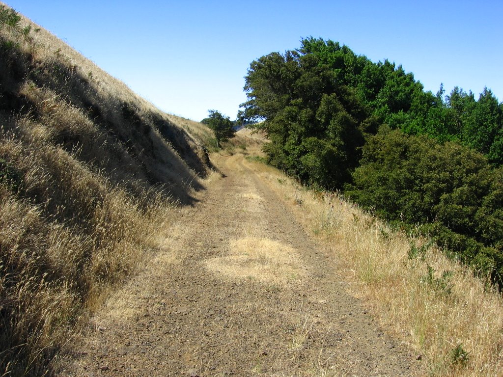 To the right, a gorgeous view opens up.
 The view.
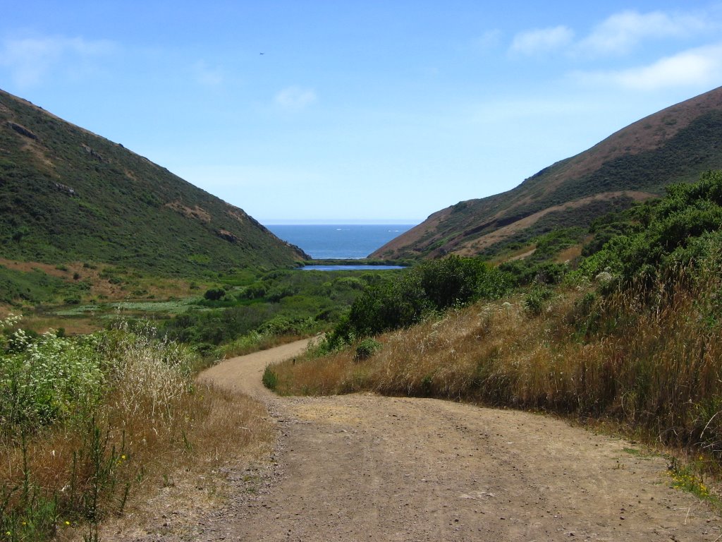
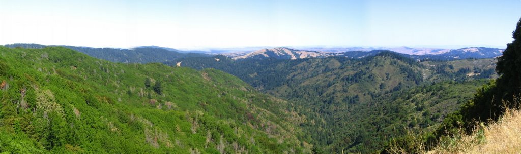 Another look.
 Looking back.
 Moving on.
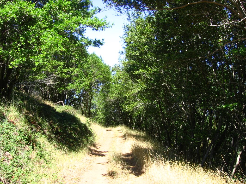 After this grove lies a short, steep descent.
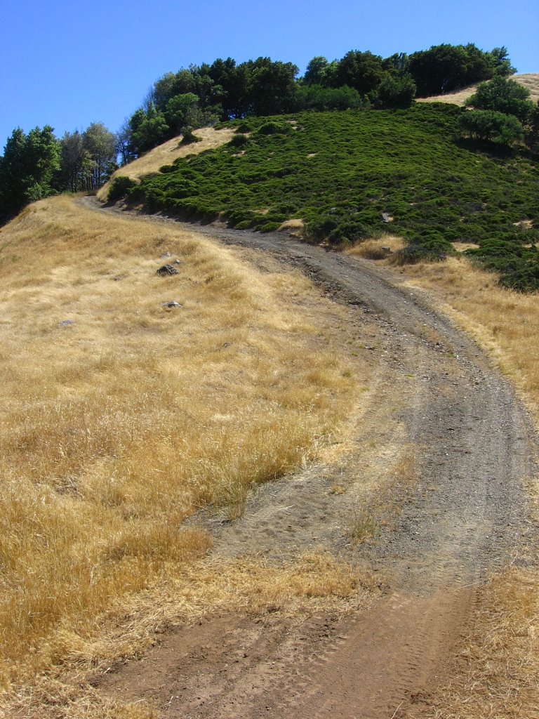 The descent.
 At the bottom of the descent is a short path leading to a horse trough.
 Why it is named as such is a mystery to me. There's probably a story somewhere.
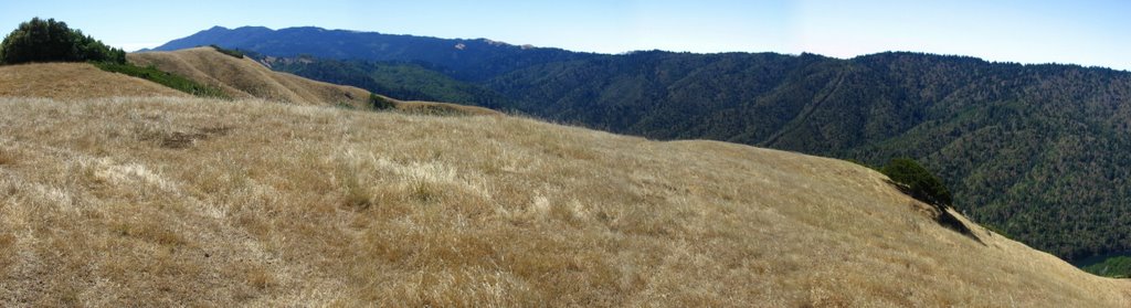 The knoll overlooking Kent Lake goes by the name of Frisbee Knoll. It is marked by a 2 feet tall metal pipe sticking out of a concrete base with the inscription, "GS21".
 Looking at Bolinas Ridge and Kent Lake. You can sit here and watch hawks below you float on the thermals rising off Kent Lake all day.
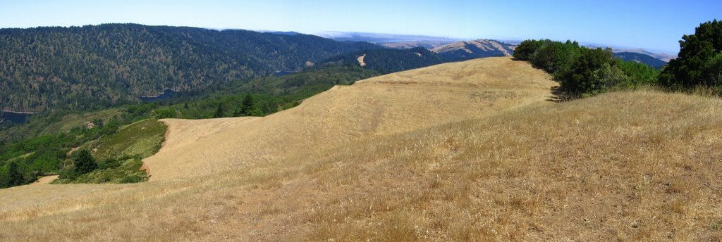 The rest of the trail descending to Kent Lake.
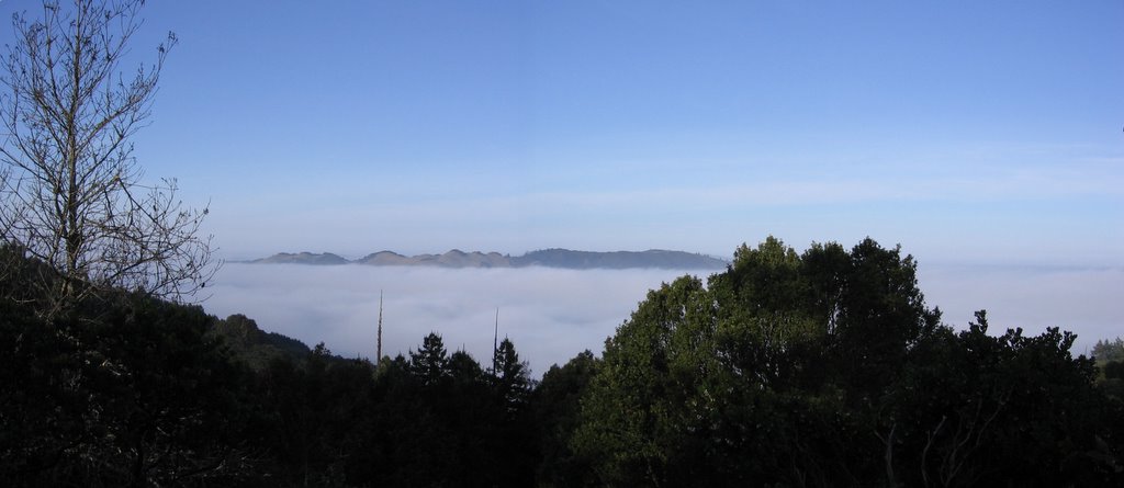 From a previous ride, a view of Pine Ridge Mountain from Bolinas Ridge Fire Road with fog blanketing Kent Lake.
 Continuing with my descent.
 Coming down the Frisbee Knoll.
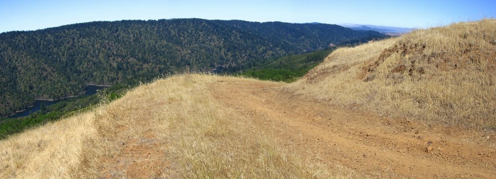 Control your speed as a steep, rocky section lies immediately after the turn.
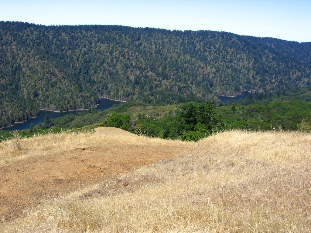 The forest of Kent Lake.
 ???
??? Descending into the forested canyon of Kent Lake.
 Ah, it makes sense now.
 A steep descent leads down to a T-junction. Picked the wrong line, went into the rut, hit a root, and got tossed over the handlebars. Tuck and roll. Tuck and roll. You gotta go with the flow, babyee! Wooot!
 T-junction. Left leads to a dead end. Go right.
 A nice, gradual climb through the forest follows. Given the remoteness of this section, the quality of the fire road (hardpack) is surprisingly good.
 1st stream crossing.
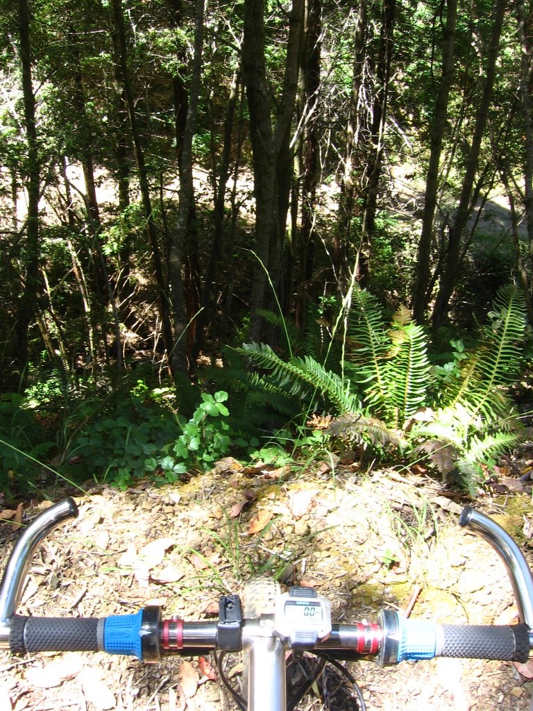 Looking at the same trail I climbed up a few minutes ago.
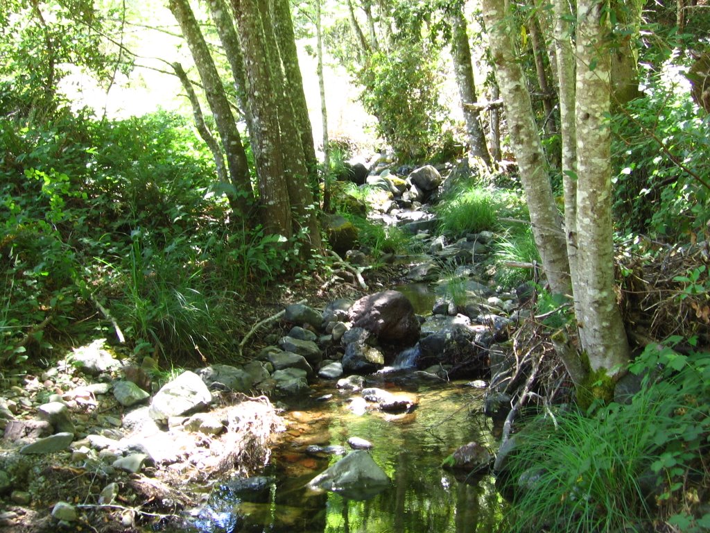 2nd stream crossing.
 It is cooler today so I had enough water left in my pack. I did not get to use my water purifier.
 3rd stream crossing. The water from all these streams drain into Big Carson Creek, which flows into Kent Lake.
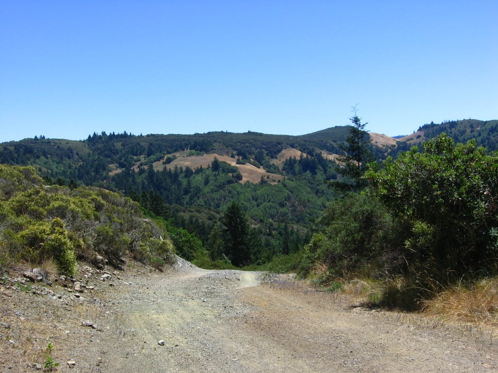 Pine Mountain Road climbing out of the canyon.
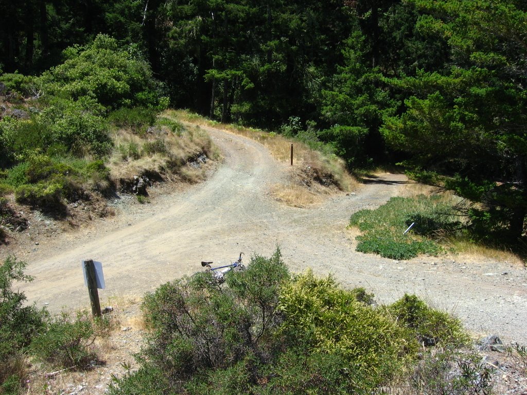 Elevation 1170 ft. Junction. From the left, clockwise: Pine Mountain Road, northwest bound San Geronimo Ridge Road, Hunt Camp Fire Road, southeast bound San Geronimo Ridge Road.
 I think that's part of Pine Mountain Ridge.
 Decided to climb up northwest bound San Geronimo Ridge Road to Green Hill. Here, Pine Mountain Road can be seen climbing up to the junction.
 It is a steep climb, but the view is gorgeous. This is also part of Kent Lake
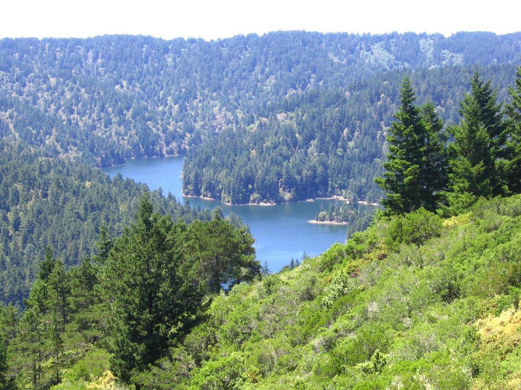 Closer view.
 Elevation 1418 ft. Top of Green Hill. Yes, that is still Kent Lake. Kent Lake is one long lake. Refer to the map.
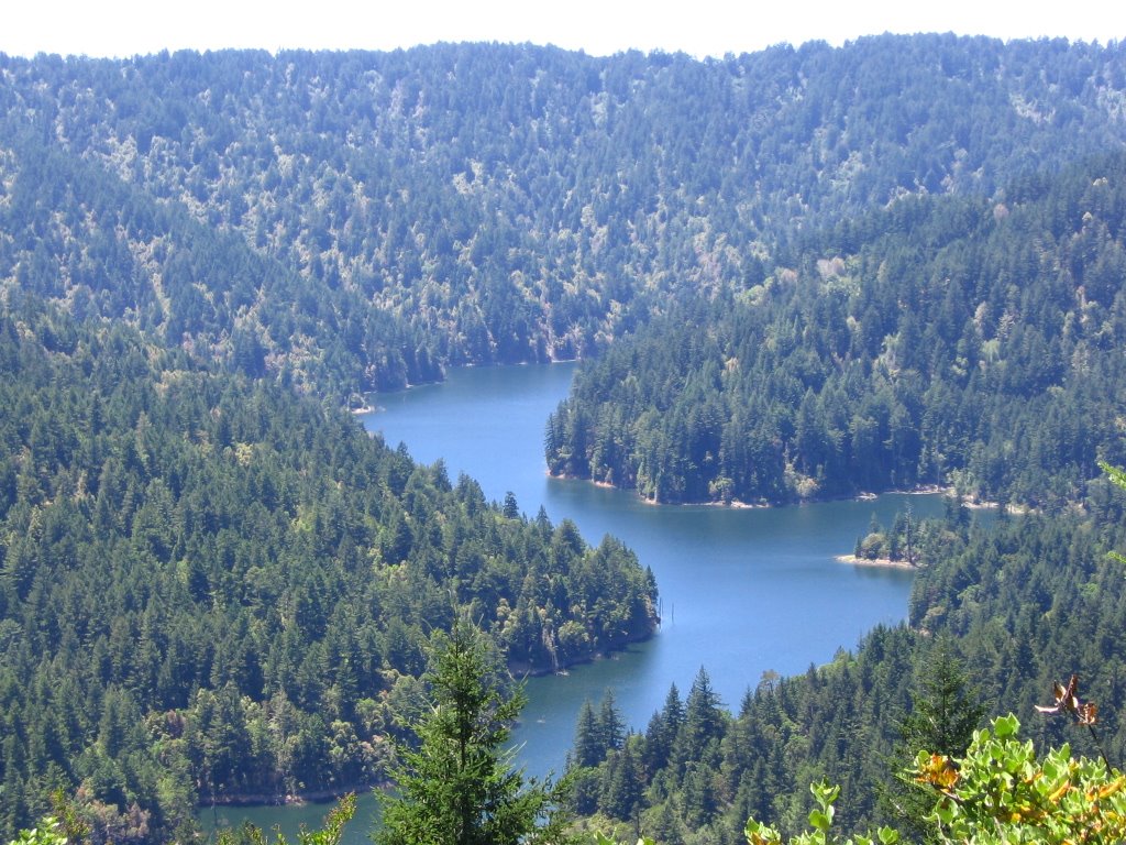 Closer view.
 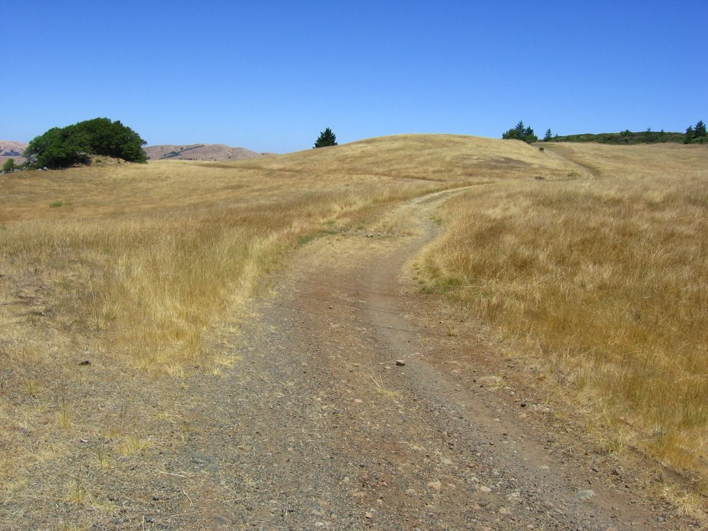 Elevation 1340 ft. Carson Meadow. Heading left, Conifer Fire Road leads to Woodacre. Keep going straight.
 Elevation 1395 ft. Left is White Hill Fire Road, which borders the Boy Scouts of America's Camp Tamarancho, with its 8 miles of legal singletrack. It also leads to Woodacre. Half way down, it turns into Blue Ridge Road, which descends into Fairfax. Go straight to continue along San Geronimo Ridge Road.
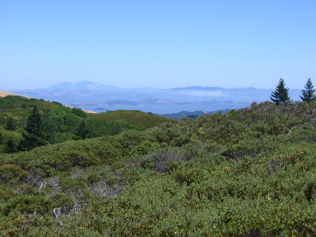 Elevation 1496 ft. A view of Mount Diablo across the bay.
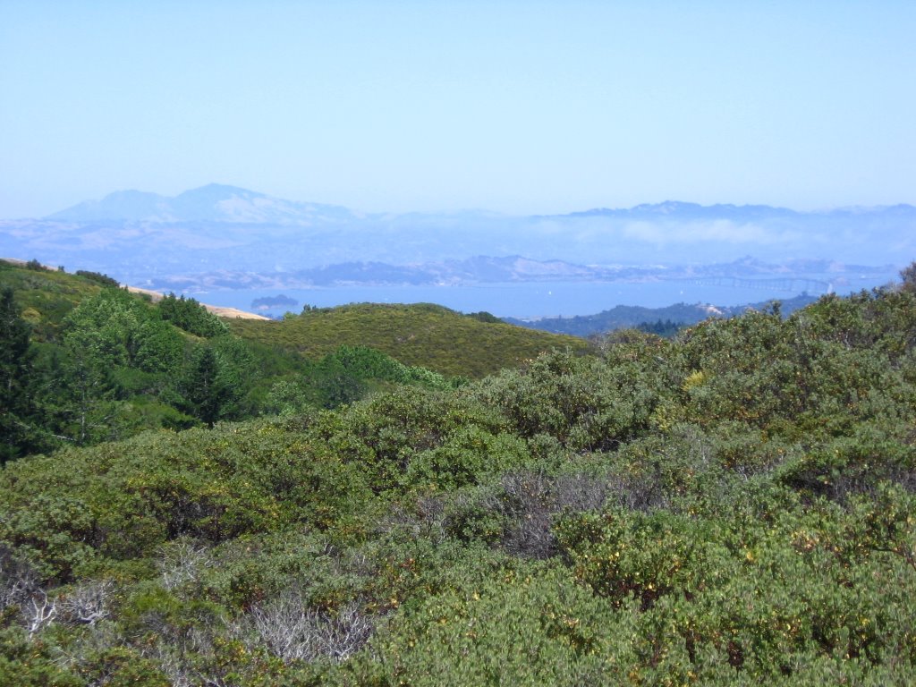 A closer view. Richmond - San Rafael Bridge on the right.
 An unmarked eastbound trail on the right (not found on the map either).
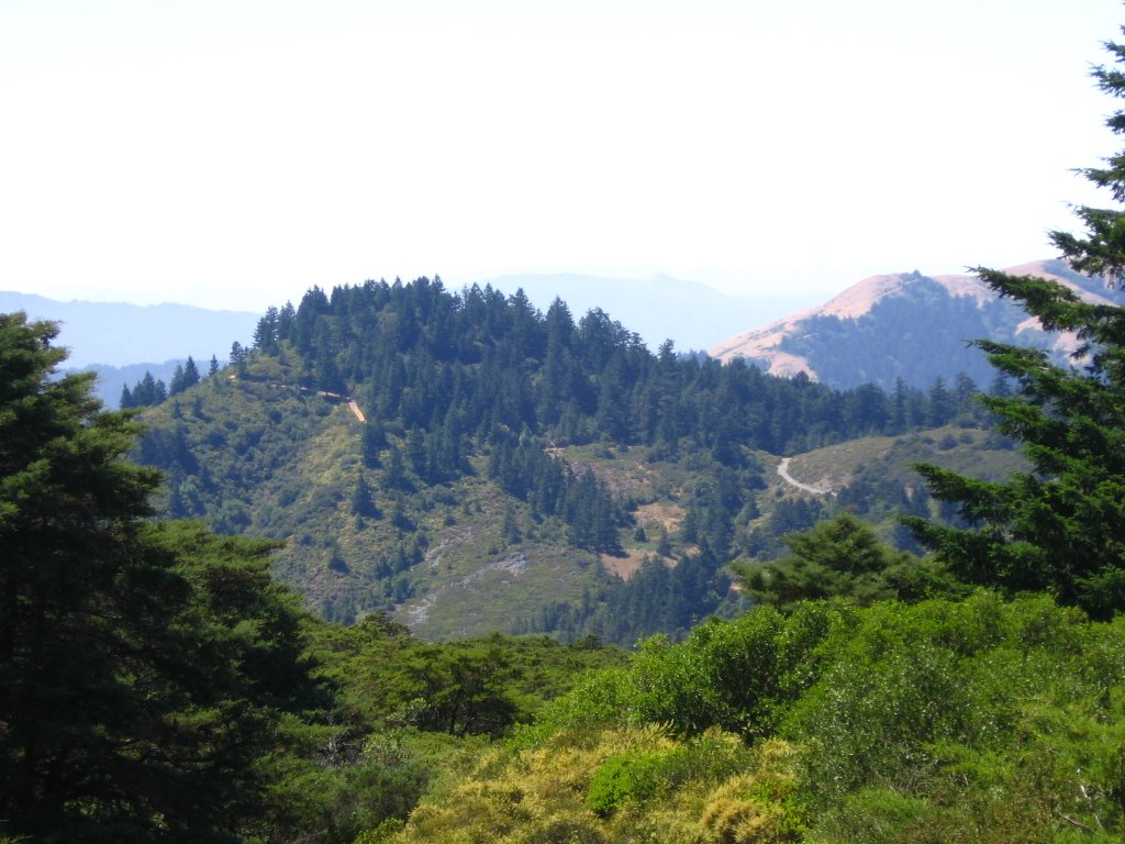 Looking back at San Geronimo Ridge Road descending from Green Hill.
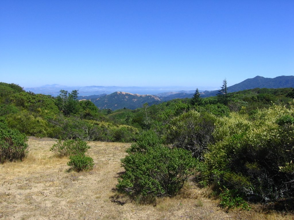 A view of Mount Diablo (1), (2) and Mount Tamalpais (1), (2).
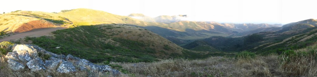
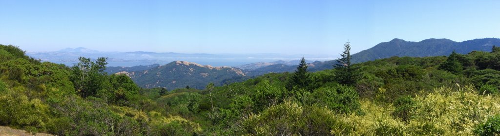 Panoramic view.
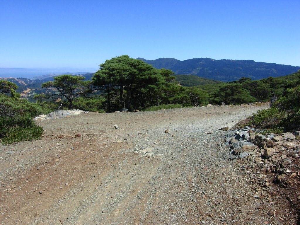 Elevation 1530 ft. Junction with Repack Road.
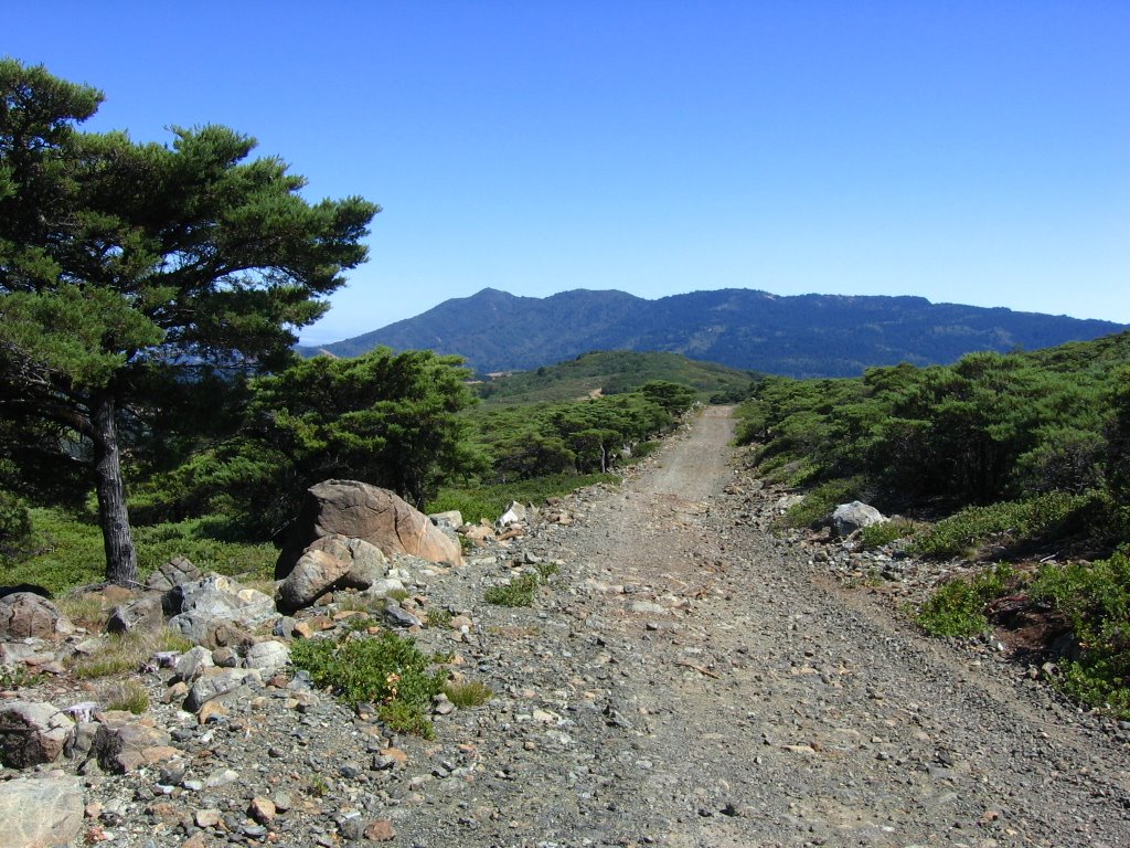 A brief rocky downhill leads to the junction with Pine Mountain Road, and then it is a short climb up from there.
 The brief rocky downhill.
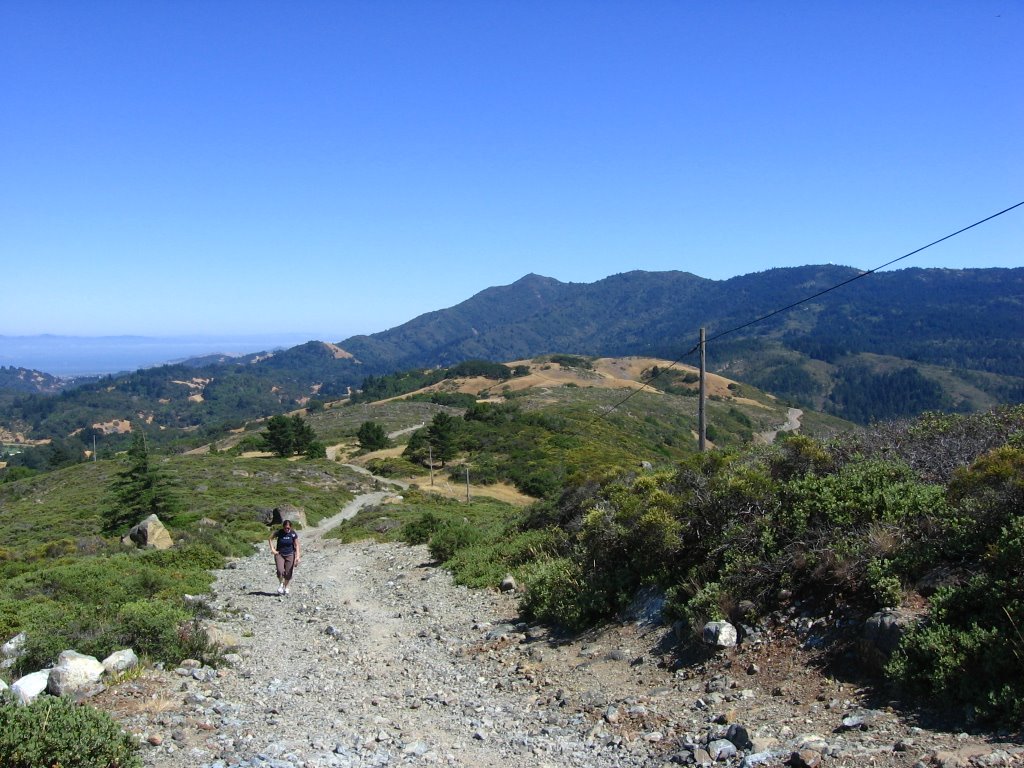 After the climb is the longer rocky downhill down Pine Mountain Road, and a rollicking, bone-jarring (if you are on a hardtail like me) descent back to the Azalea Hill parking lot. Here, I am waiting for the hiker to clear that section of the trail before I bomb down the second half of the downhill.
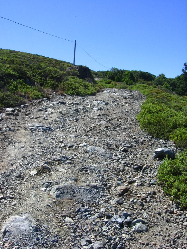 Looking back at the first half of the downhill.