Attempted a variant of the Pine Mountain Loop today: instead of starting at the Azelea Hill parking lot (elevation 1080 ft), I opted to begin my ride at Deer Park parking lot (elevation 200 ft), located at the end of Porteous Ave, off Bolinas - Fairfax Road.
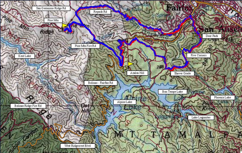 Map of today's ride. 1307 track points laid by the GPS unit.
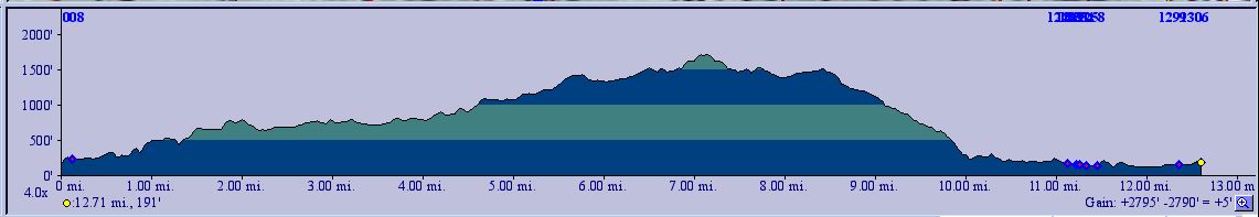 TOPO!'s elevation profile.
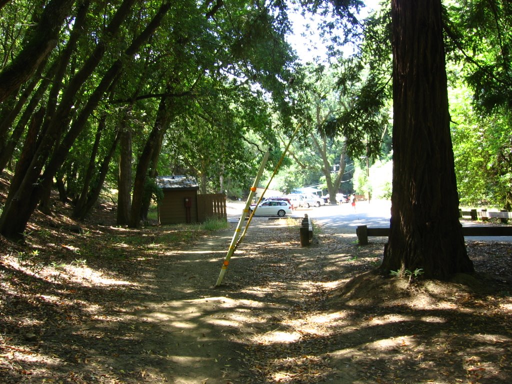 Elevation 200 ft. As I missed the turn to Sir Francis Drake Boulevard (I was looking for Red Hill Avenue instead), it was 10:30 AM by the time I reached Deer Park parking lot.
 Behind the school is the trailhead.
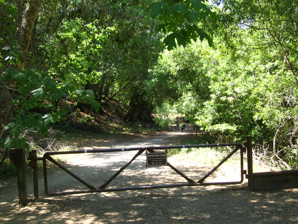 Deer Park Road trailhead.
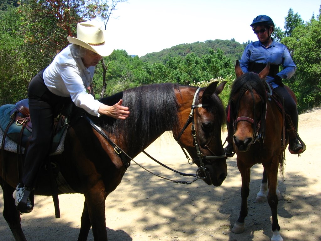 Elevation 530 ft. Five Corners junction. Chatting with a couple of equestrians. The horse actually points out to her owner where the horse flies are. Here, the rider is in the act of swatting one.
 Met another mountain biker, Peter, at Five Corners. He's a model gentleman, pointing out to me the trail hazards along Shaver Grade. Here, at Sky Oaks Road, we part ways as I continue my journey to Pine Mountain Fire Road.
 Elevation 700 ft. An unnamed trail running between Bon Tempe Meadow and Meadow Club Golf Course.
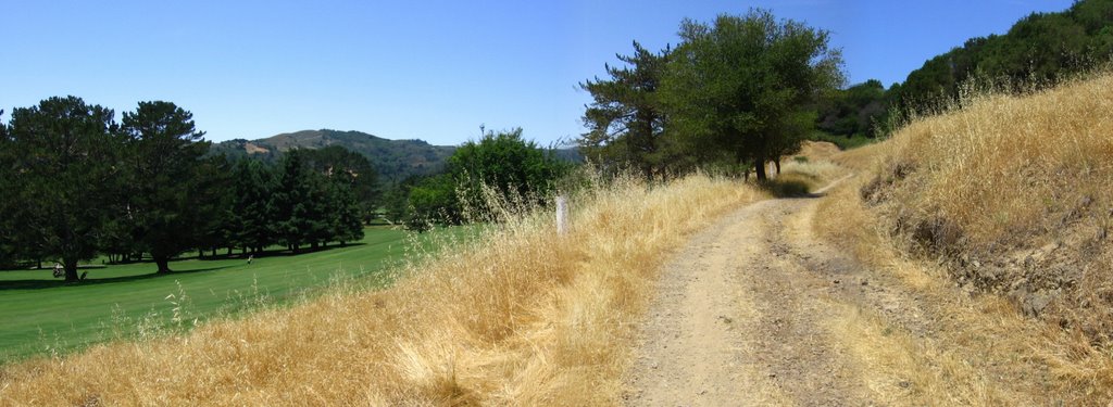 At certain points, the trail literally skirts the edge of the golf course.
 The trail eventually terminates inside Meadow Club.
 Elevation 720 ft. Across Bolinas - Fairfax Road, a look at Repack Road, which I am planning to ride down later.
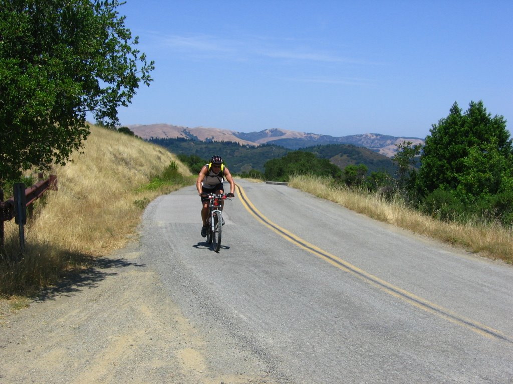 Elevation 1080 ft. Trailhead along Bolinas - Fairfax Road.
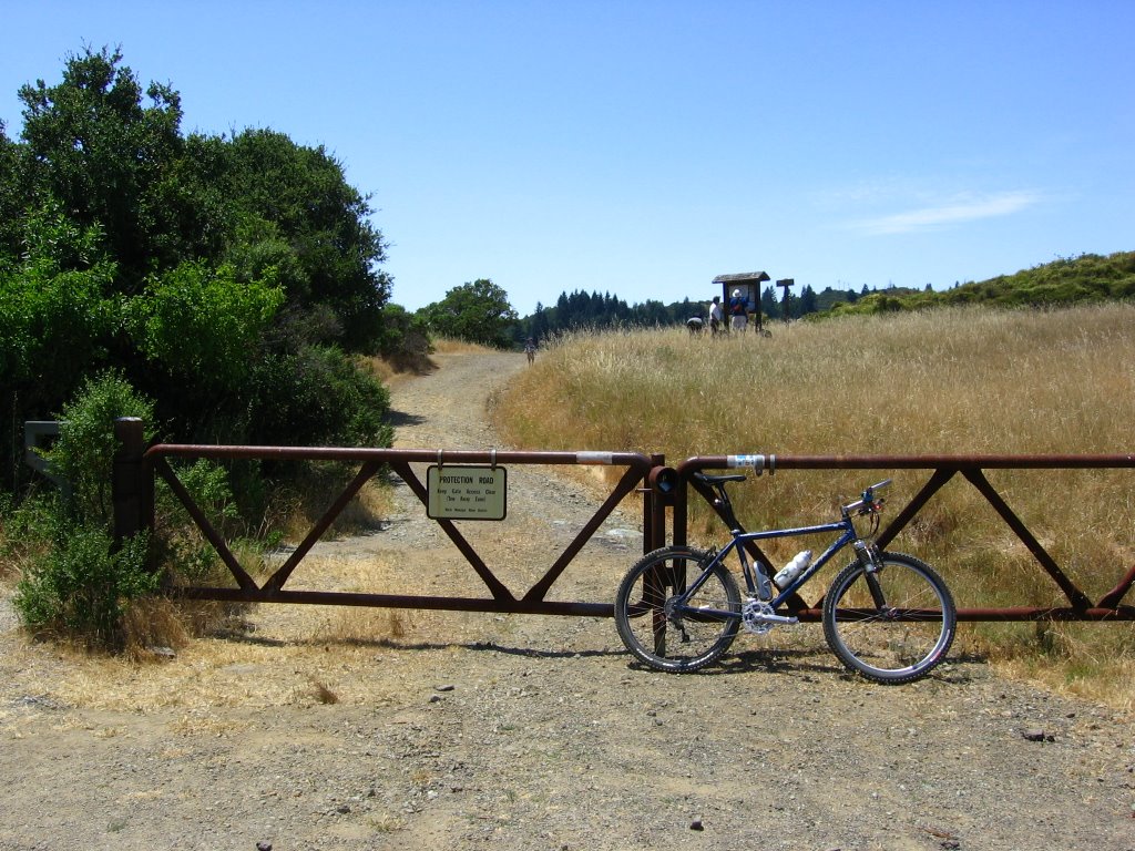 Pine Mountain Fire Road trailhead.
 What the sign says.
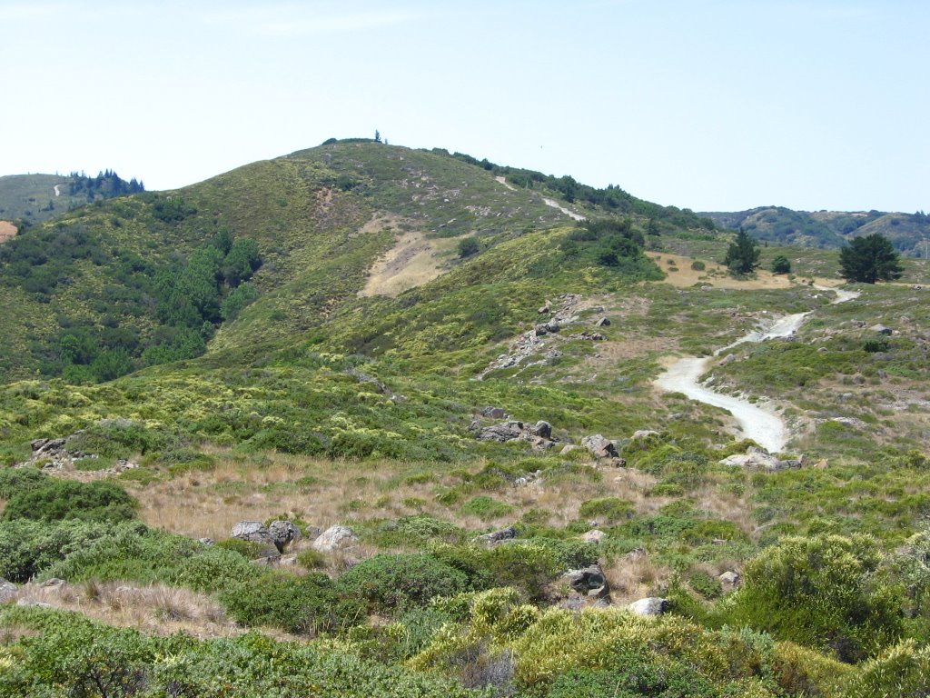 Climbing up Pine Mountain Fire Road.
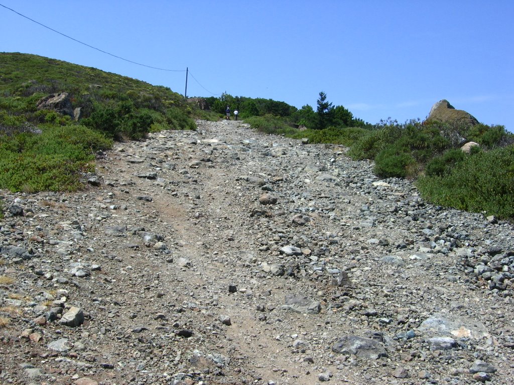 The going is loose.
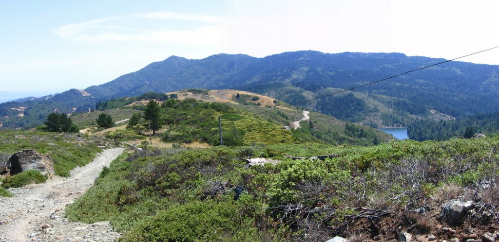 Looking back. The distinctive profile of Mount Tamalpais' East Peak is on the left. To the right of the center, Bolinas - Fairfax Road winds its way up Azalea Hill. Further to the right is Alpine Lake.
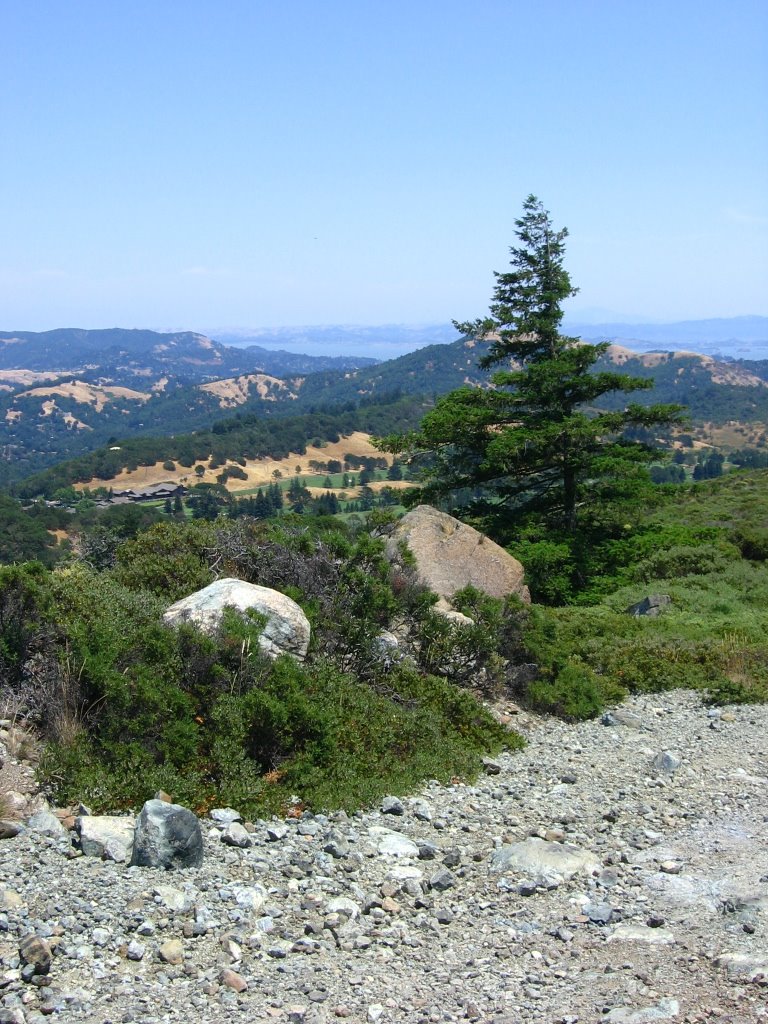 To the left of the tree, Meadow Club Golf Course. San Rafael Bay lies beyond. 3 Horse Flies find me here.
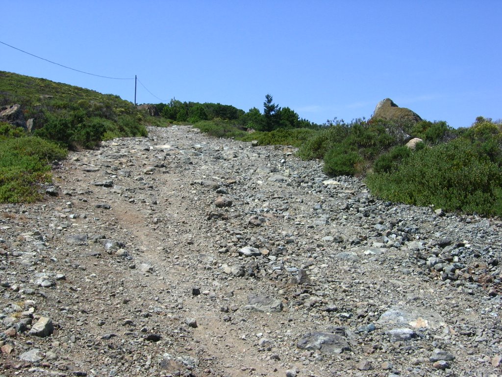 Steep and loose section of Pine Mountain Fire Road. A couple of hikers commented that I started too late.
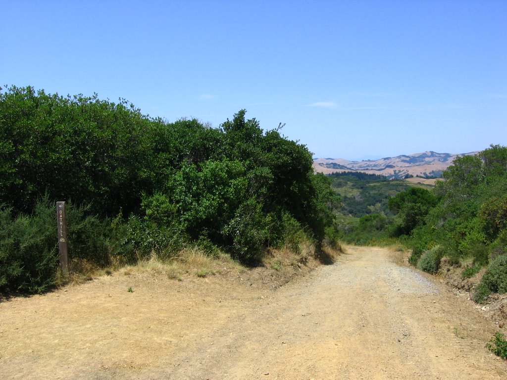 Elevation 1440 ft. Junction with Oat Hill Road. Managed to kill one of the Horse Flies here. Hint: swat very hard. Doubly hard if you are wearing gloves. You need to break open their bodies, or they will just lay stunned for a while and then resume trying to bite you.
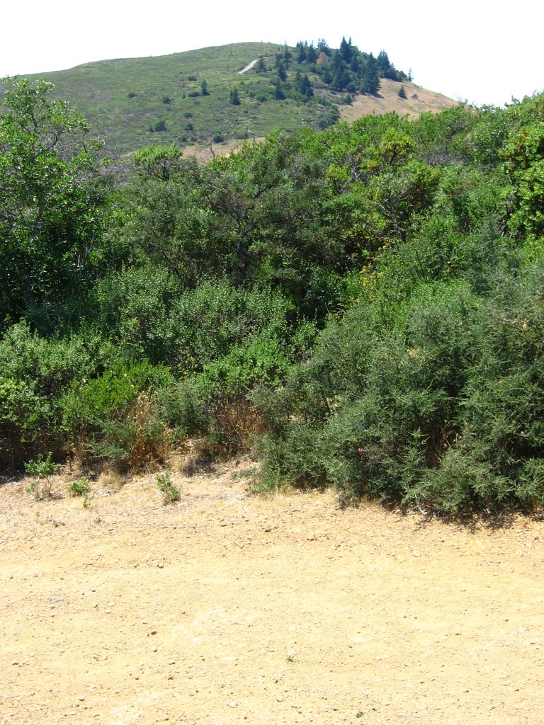 View from the Oat Hill Road junction. Part of Pine Mountain Road can be seen climbing up the mountain.
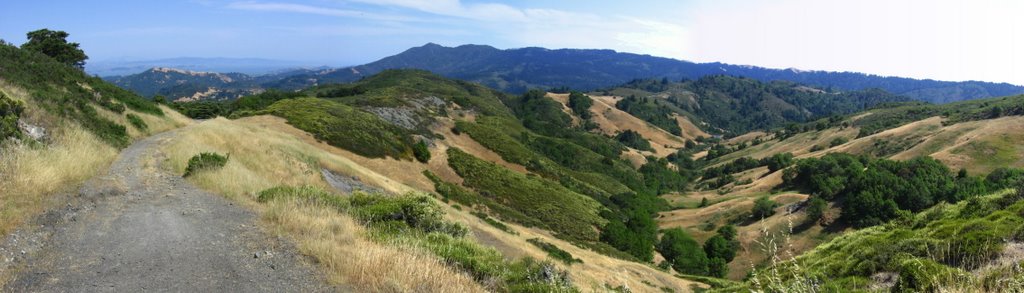
 Elevation 1400 ft. Junction. Left leads to the summit of Pine Mountain. Straight ahead is San Geronimo Ridge Road.
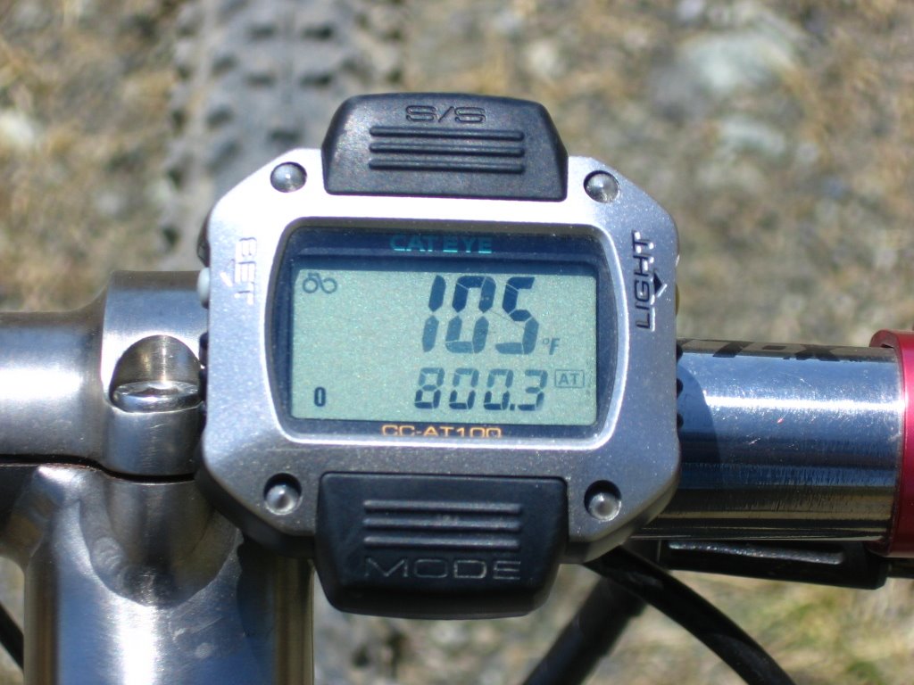 I see what the hikers mean now.
 It's even hotter here, with no wind and heat reflecting off the hillside like some kind of giant parabolic bowl.
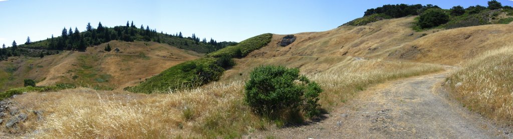 A wider view.
 Temperature 107 F (41.7 C). Started experiencing some of the symptoms of heat exhaustion at this point: abdominal cramps, dizziness, irritability (the damn Horse Flies didn't help), and weakness. Decided to get off my bike, dump some water over my head and jersey, and stand in the shade of a friendly Pine tree.
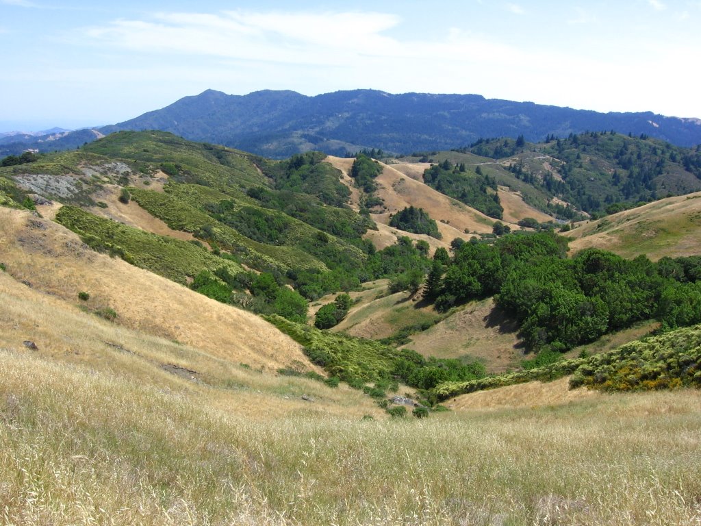 The view from my rest stop. See? It does resemble a parabolic bowl.
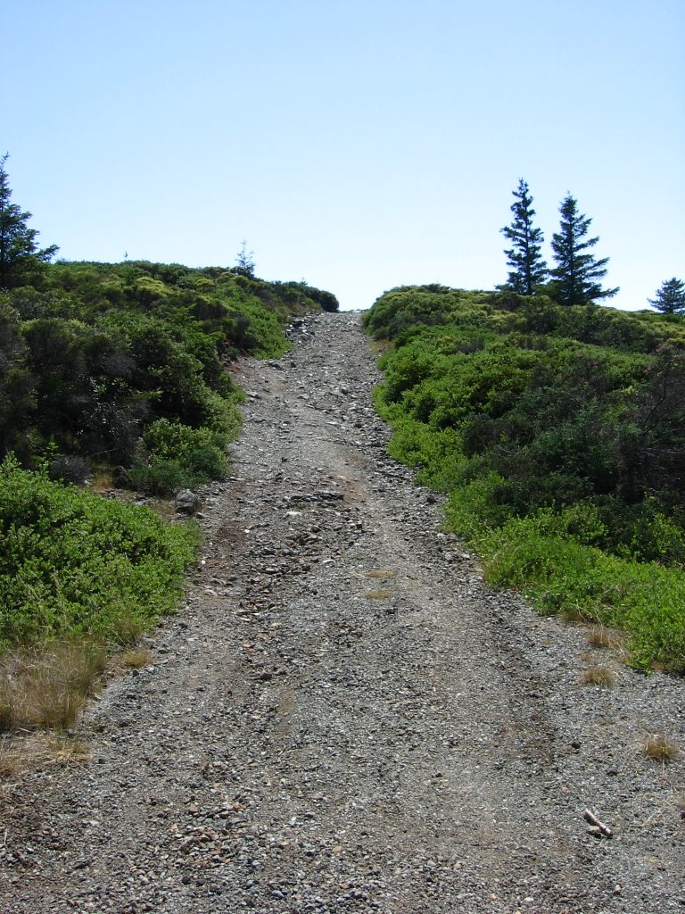 A final steep and loose section before the top of Pine Mountain.
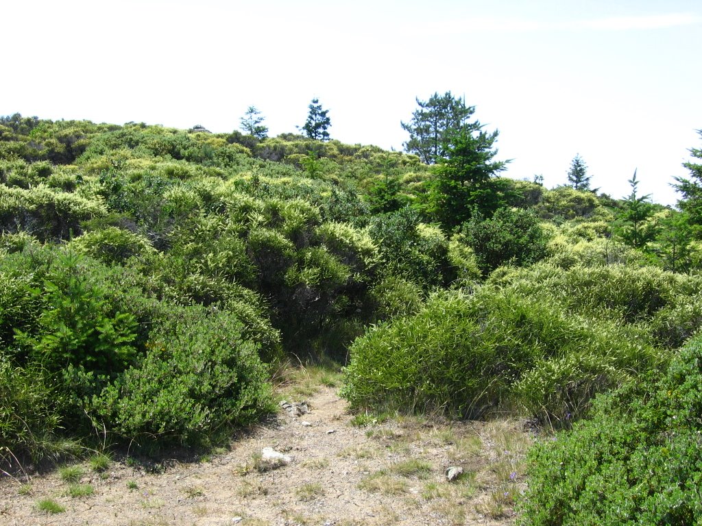 Elevation 1750 ft. The true summit of Pine Mountain lies at the cairn to the left.
 A closer look. The elevation there is 1762 ft. After a few stings from some really territorial bees, I gave up trying to go there.
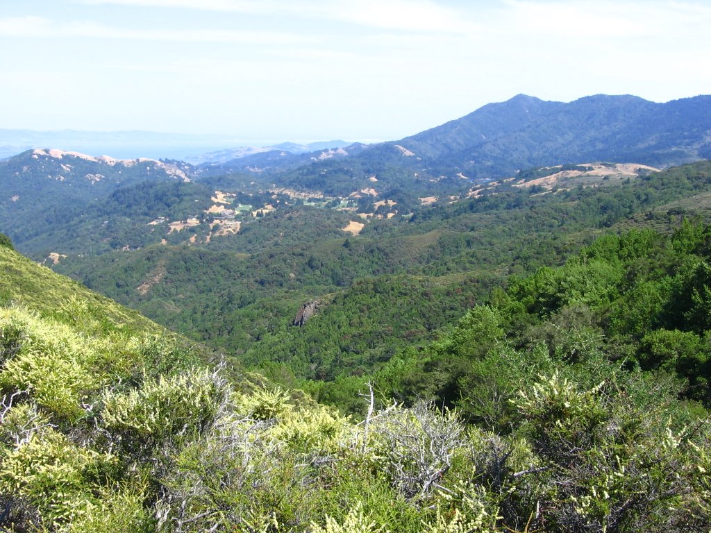
 The view from the top of Pine Mountain Fire Road. From left to right: Mount Tamalpais, West Ridgecrest Boulevard, Bolinas Ridge Fire Road runs through the forests on the right.
 Kent Lake lies 1330 ft below me.
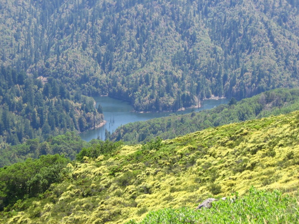 Closer look.
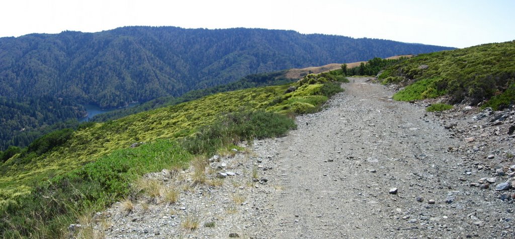 Pine Mountain Fire Road coasts along Pine Mountain Ridge for a while before descending steeply to Kent Lake.
At this point, having consumed 84 fl. oz. (2.48 liters) out of the 122 fl. oz. (3.6 liters) of water I brought with me, I decided to give the rest of Pine Mountain Loop (descend to Kent Lake and climb 800 ft back up to San Geronimo Ridge) a pass as I may run dangerously low on water if I continued in this heat.
 Heading back down to the junction.
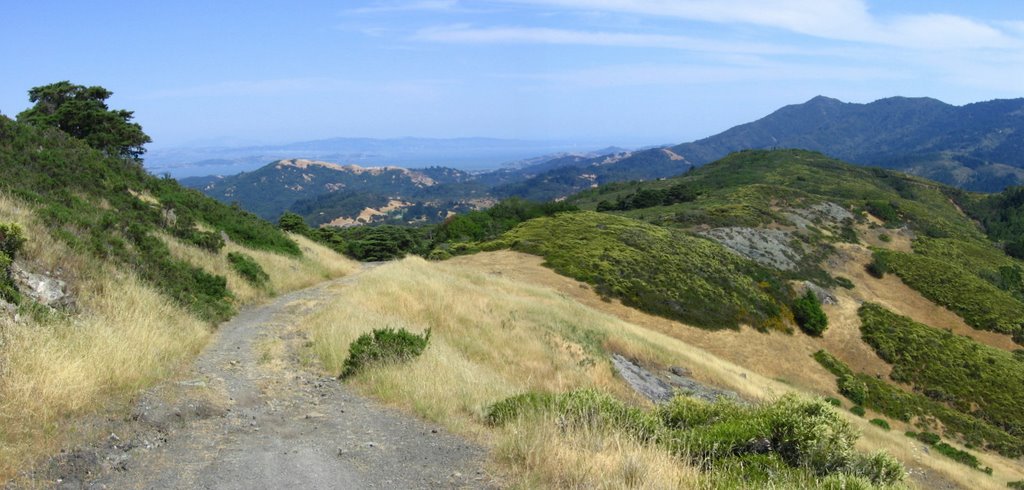 A closer look.
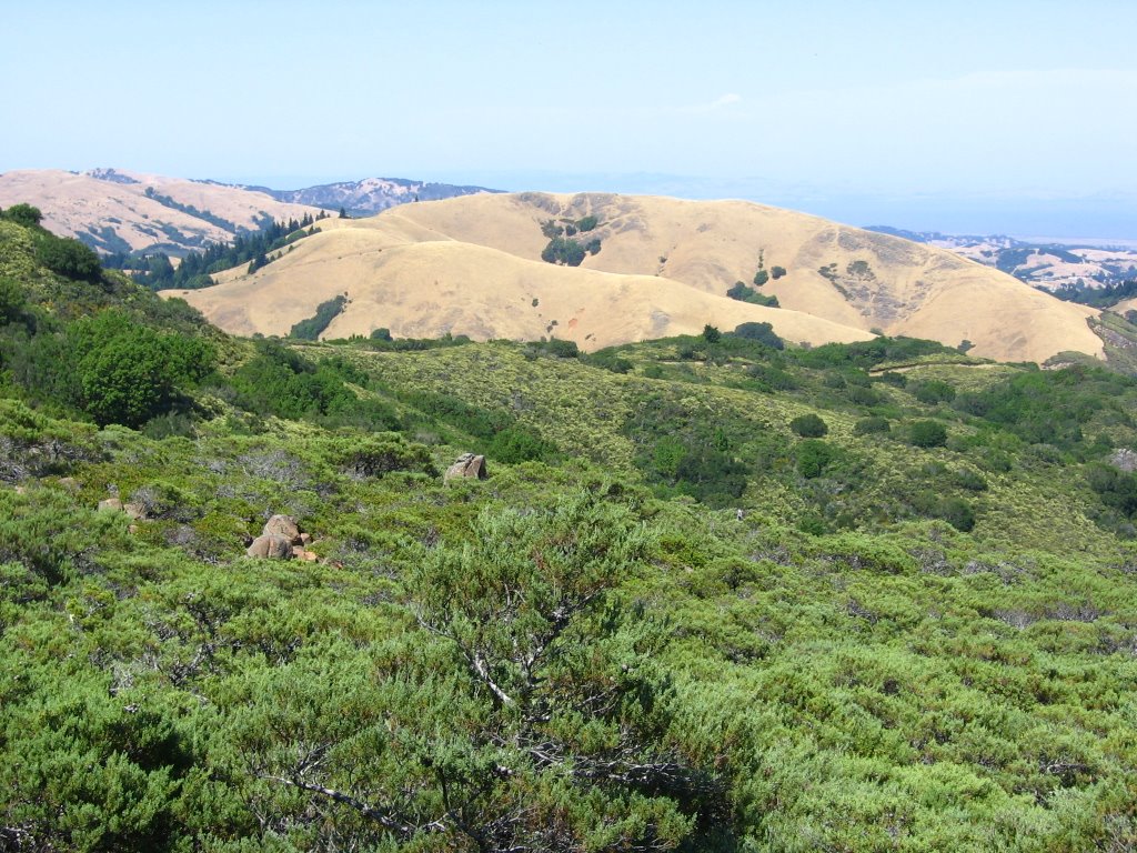 Running across the center of the picture: part of Repack Road before it descends.
 Elevation 1530 ft. Repack Road. View without my bike in the picture.
Charlie Kelly's website has a fascinating history on Repack Road.
 View from Repack Road. San Anselmo Creek drains the canyon that divides Bolinas - Fairfax Road from Repack Road.
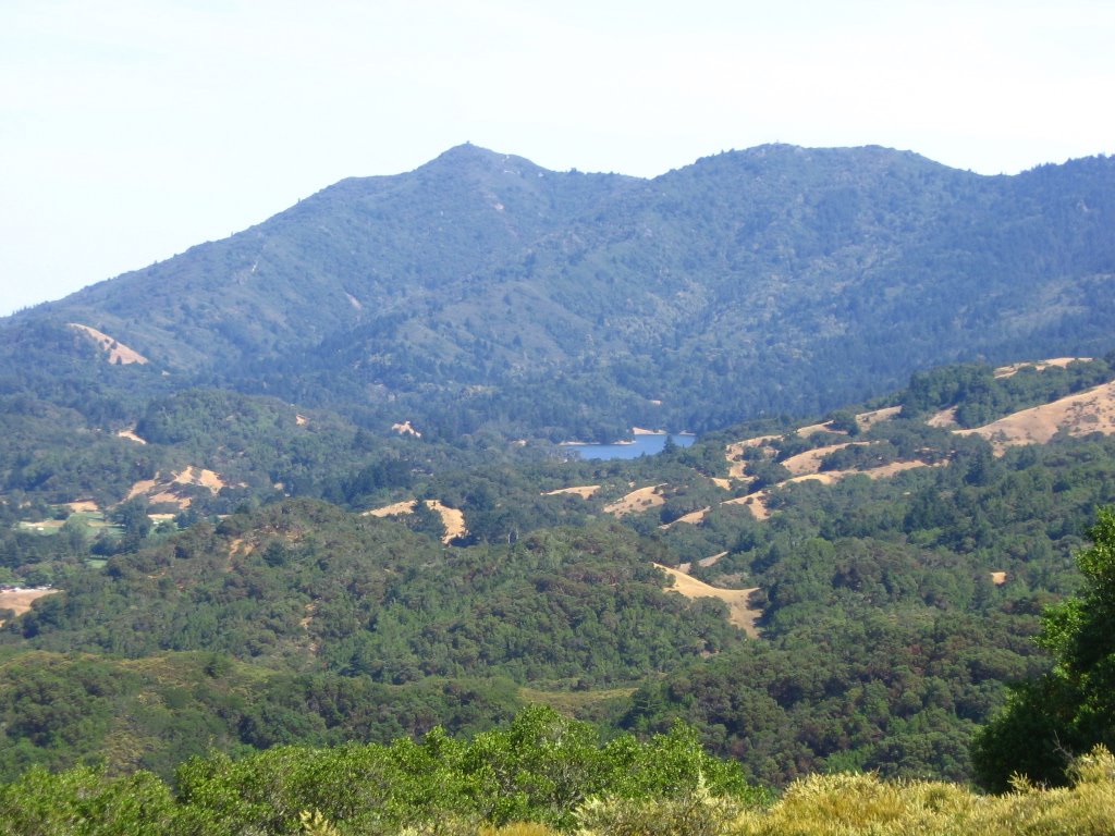 I believe that is Bon Tempe Lake (716 ft).
 Just before the descent.
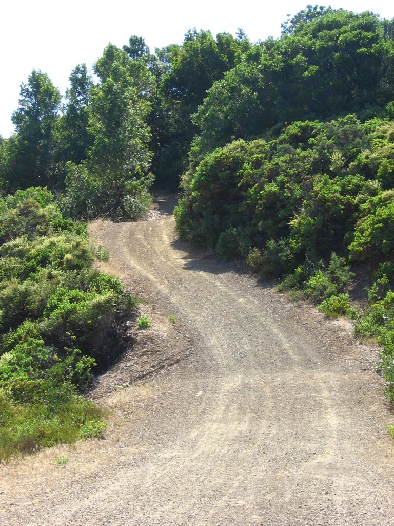 I was having too much fun to take many pictures of the descent (plus, I lost the Horse Flies). Here's one. It gets much steeper beyond the trees.
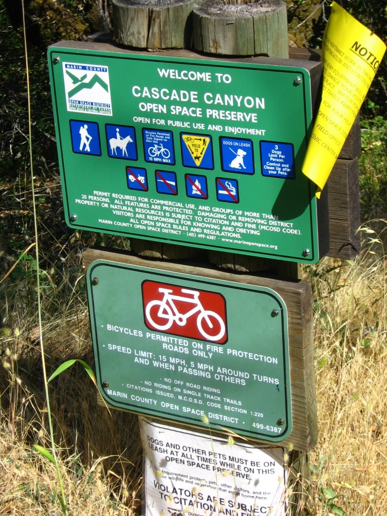 Repack Road descends into Cascade Canyon.
 To everything (turn, turn, turn)
There is a season (turn, turn, turn)
And a time for every purpose, under heaven
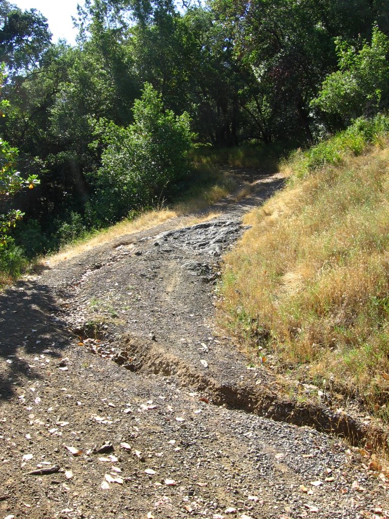 Before the Cascade Canyon sign, ruts and rocks are not a problem, just watch out for the water bars.
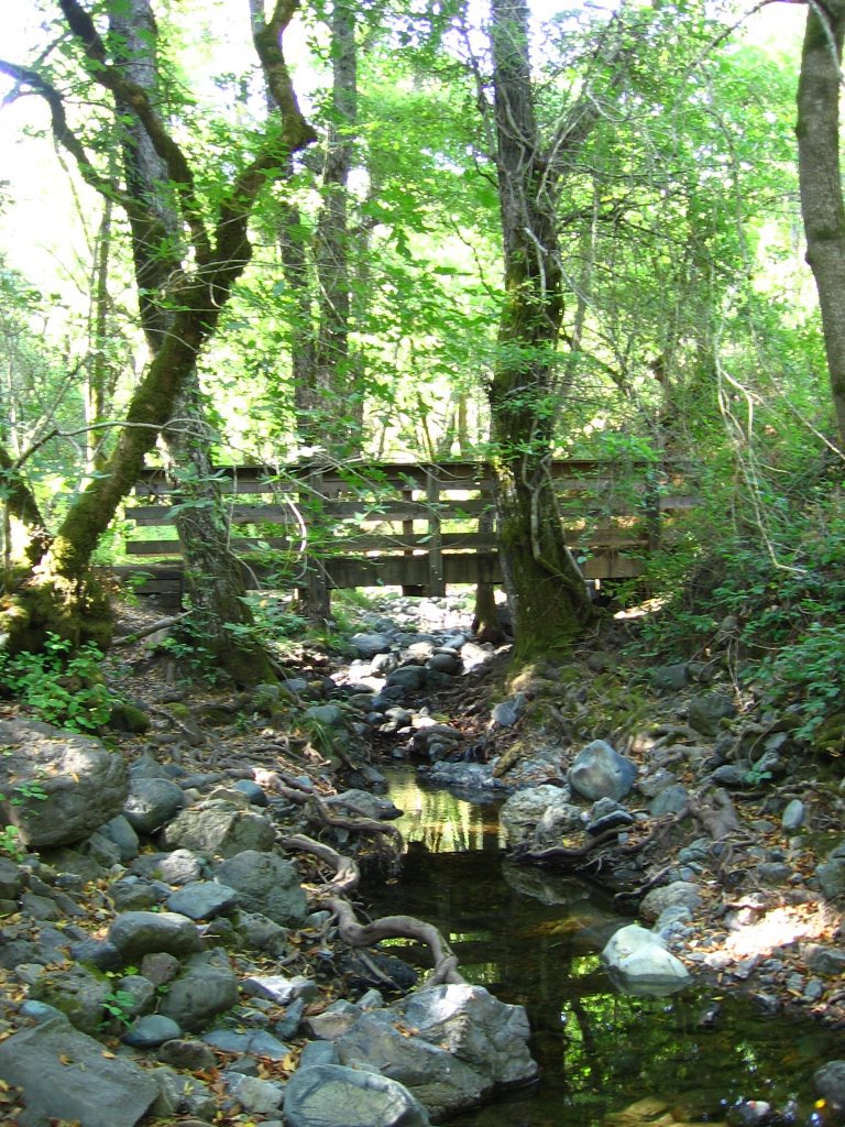
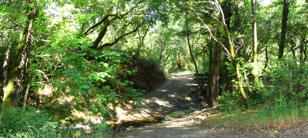 Elevation 230 ft. Before I know it, Repack Road has dropped me 1300 ft in elevation in under 2.1 miles, and the descent is effectively over. This is confluence of San Anselmo Creek and Cascade Creek.
 Trivia: Gary Fisher posted the fastest time for descending Repack Road: 4 minutes 22 seconds.
 The temperature is 91 F (32.8 C) in the shade. I am tempted to strip and soak in these inviting pools of water.
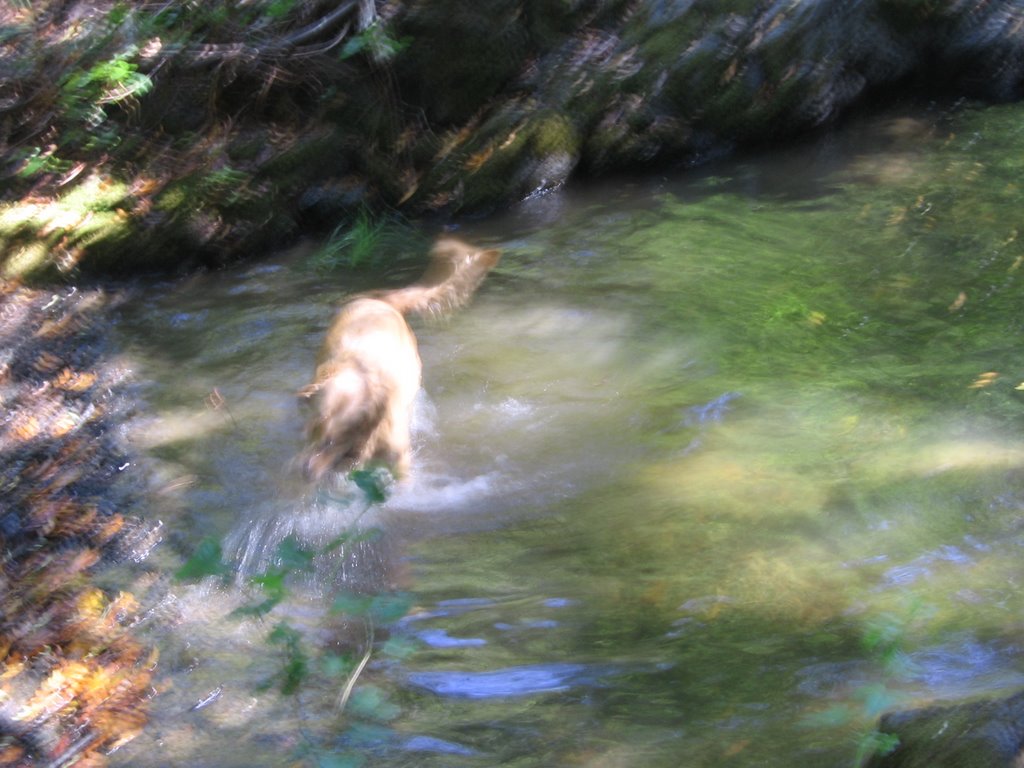 A little later, a lady hiker arrived with her Labrador. They began playing a strange game. She would pick up fist-sized rocks and toss it into deep pools along the creek.
  Her dog would then dive in, find the exact rock she tossed in, surface, and return it to her hand. She will then pick up another rock and repeat the process.
  The game is over when the dog finds a rock he likes and trots off with her. I am still trying to figure out how he knows which rock it is, as he doesn't get to examine the rock before she tosses it into the water. Maybe he looks for the only rock in the water that does not have a film of algae on it?
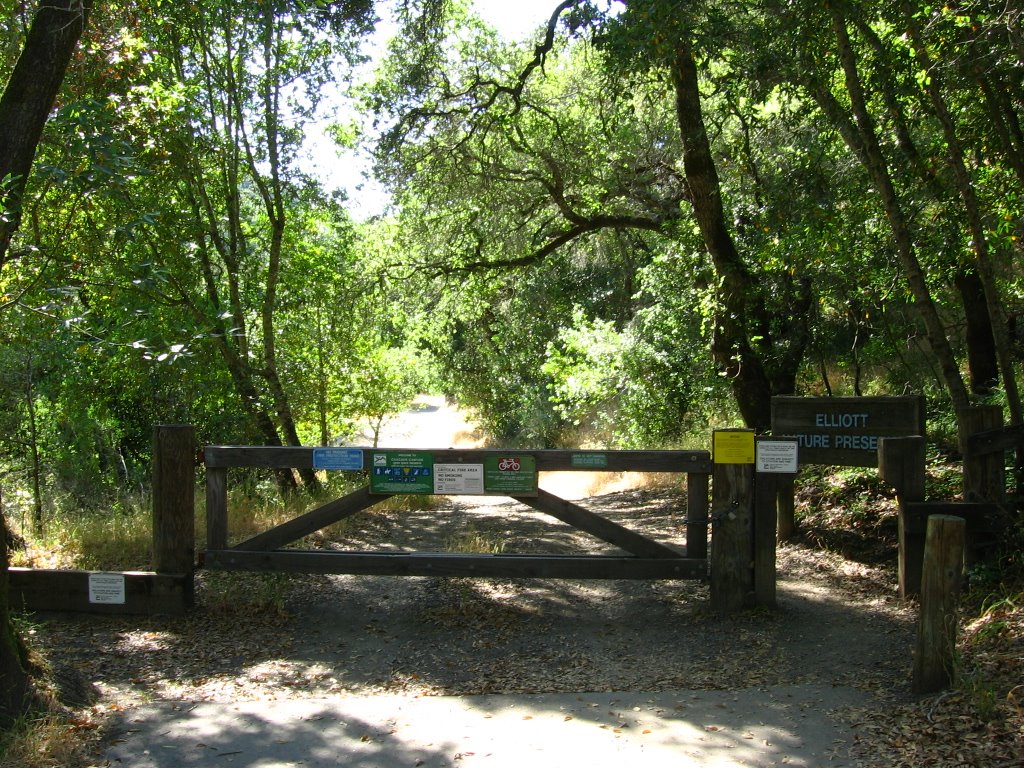 Elevation 200 ft. After the bridge, Repack Road crosses Cascade Creek 3 times before terminating into Cascade Drive. From there, it is an easy spin back to Bolinas - Fairfax Road, Porteous Drive and Deer Park parking lot.
Epilogue:
Total distance: cyclo-computer 12.9 miles (20.64 km) / GPS 13.36 miles (21.38 km) / TOPO! 12.65 miles (20.24 km).
Total elevation climbed: Altimeter 2250 ft (686 m) / GPS + TOPO! 2198 ft (670 m).
Temperature range: 91 F to 107 F (32.8 C to 41.7 C).
Fluids consumed: 84 fl. oz. of water.
Ride conducted solo.
---------
Following this, I went on a hike up Hill 88 in the Marin Headlands.
As there was an hour before sunset, I managed to squeeze in a short hike to the top of Hill 88 in the Marin Headlands after the ride.
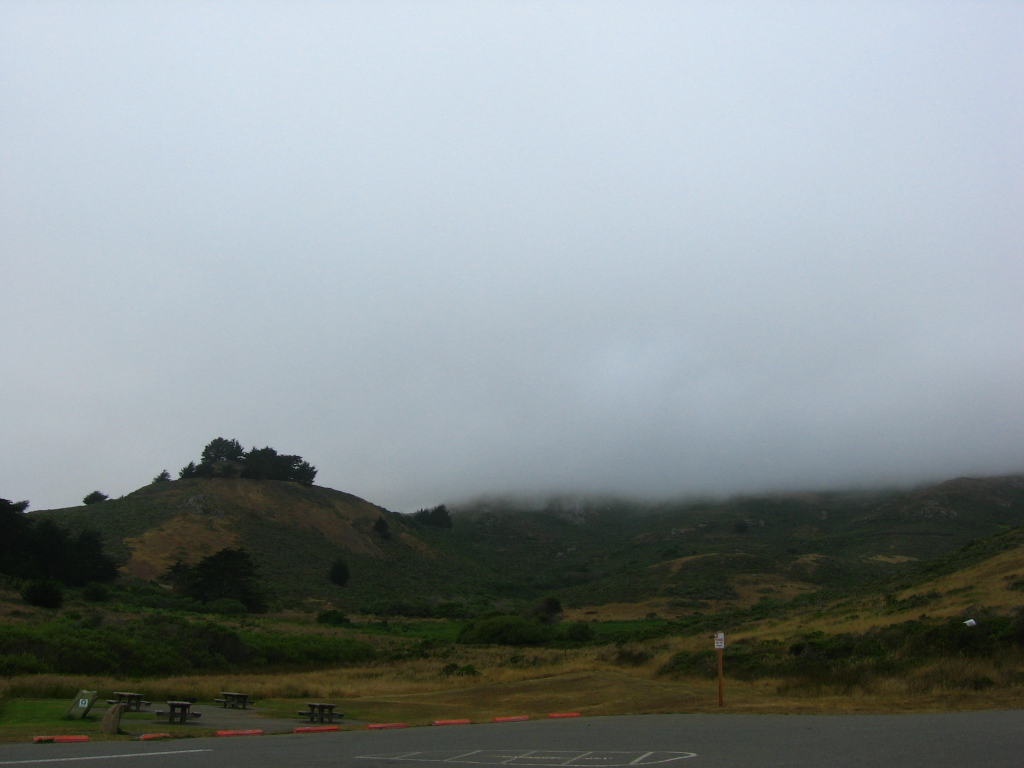 From the parking lot at Fort Cronkhite. Hill 88 is lost in the fog somewhere up there.
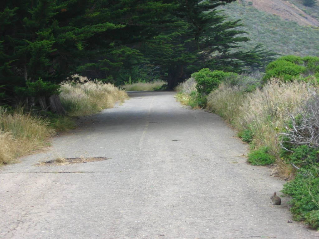 The road leading up. (Notice the little bunny on the lower right?)
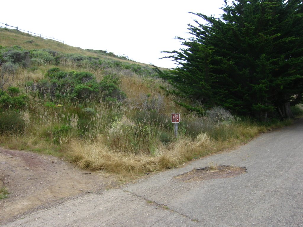 There's a choice of a scenic dirt trail, or the faster asphalt road.
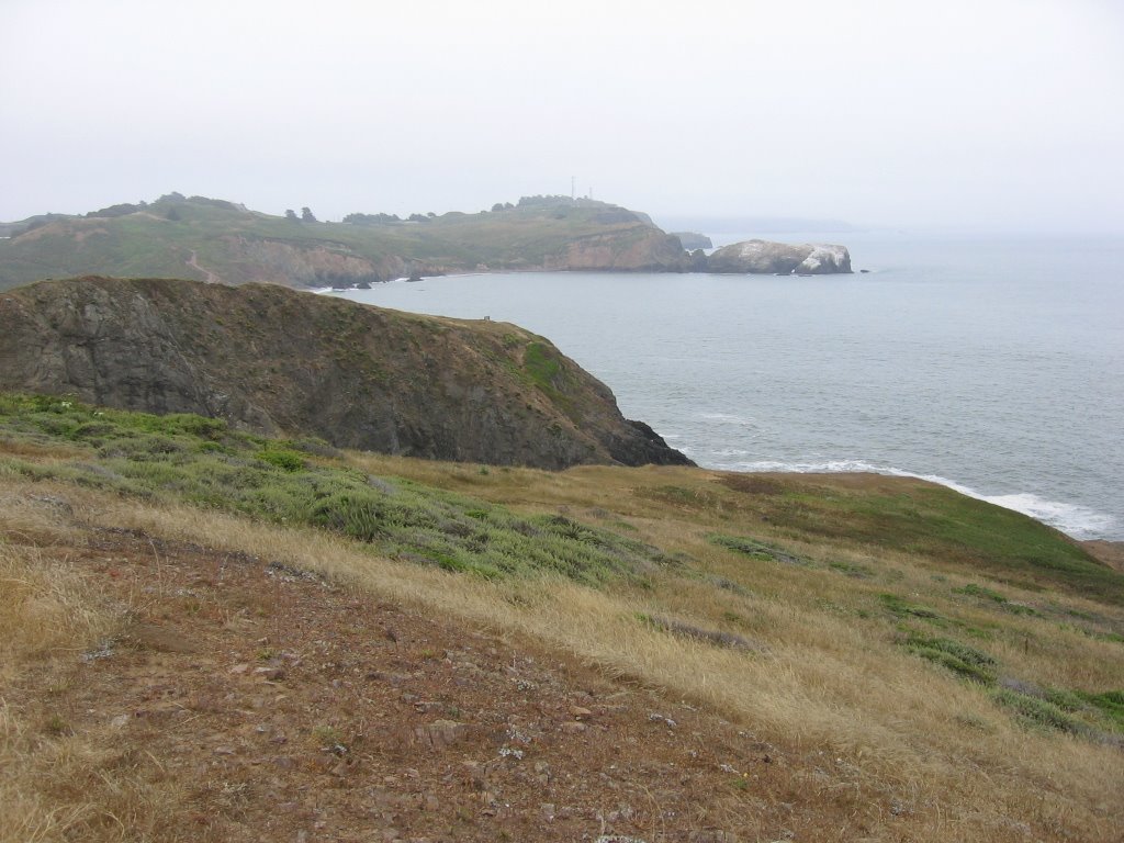 Point Bonita Lighthouse in the distance.
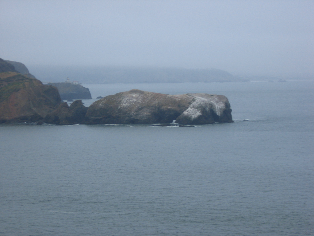 Close up.
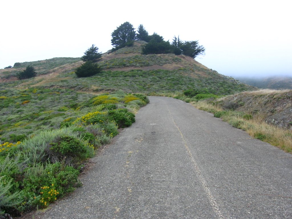 The old fortifications of Battery Townsley lie beyond the trees.
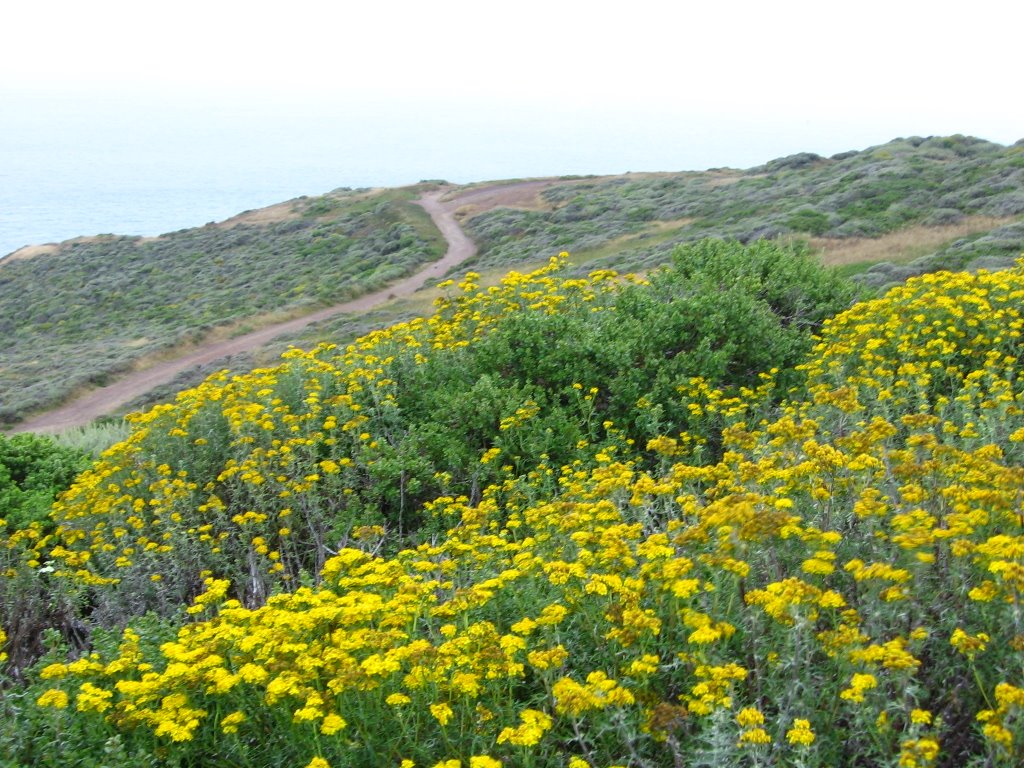 Another trail paralleling the coast.
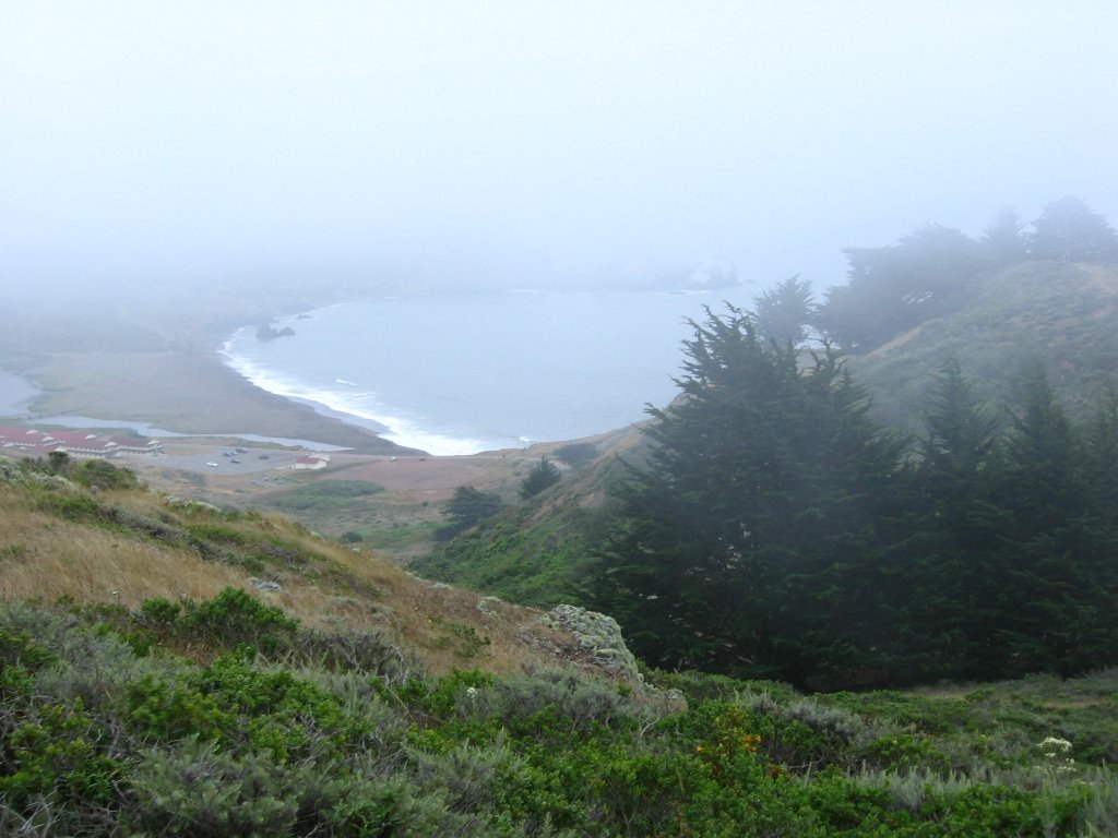 Climbing into the fog. Rodeo Beach and Fort Cronkhite below.
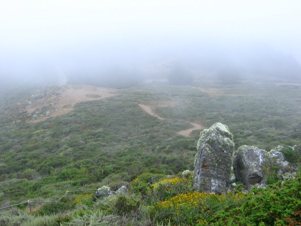 Climbing up the steps. This dirt section bypasses a collapsed section of the road.
 A large section of the road disappeared in a landslide 9 years ago (hence the steps and dirt bypass trails).
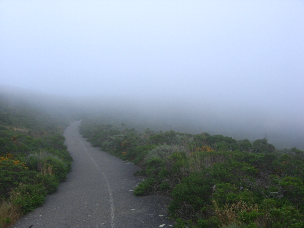 Turning right after the stairs and dirt section. There is another short, rutted, dirt bypass after this, then it is all asphalt to the summit.
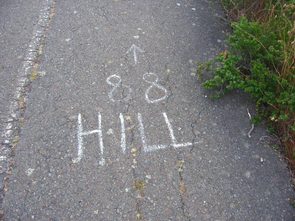 What it says.
 Walking through a windy pass.
 And foggy too.
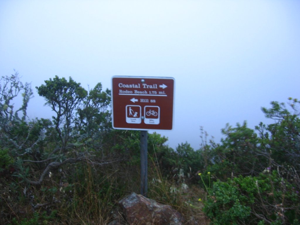 Elevation 816 ft.
 Junction: Wolf Ridge Trail (leading eastwards to Miwok Trail) terminates on the right; also on the right, leading northwards, is the portion of Coastal Trail descending steeply to Tennessee Valley. Both are closed to bicycles.
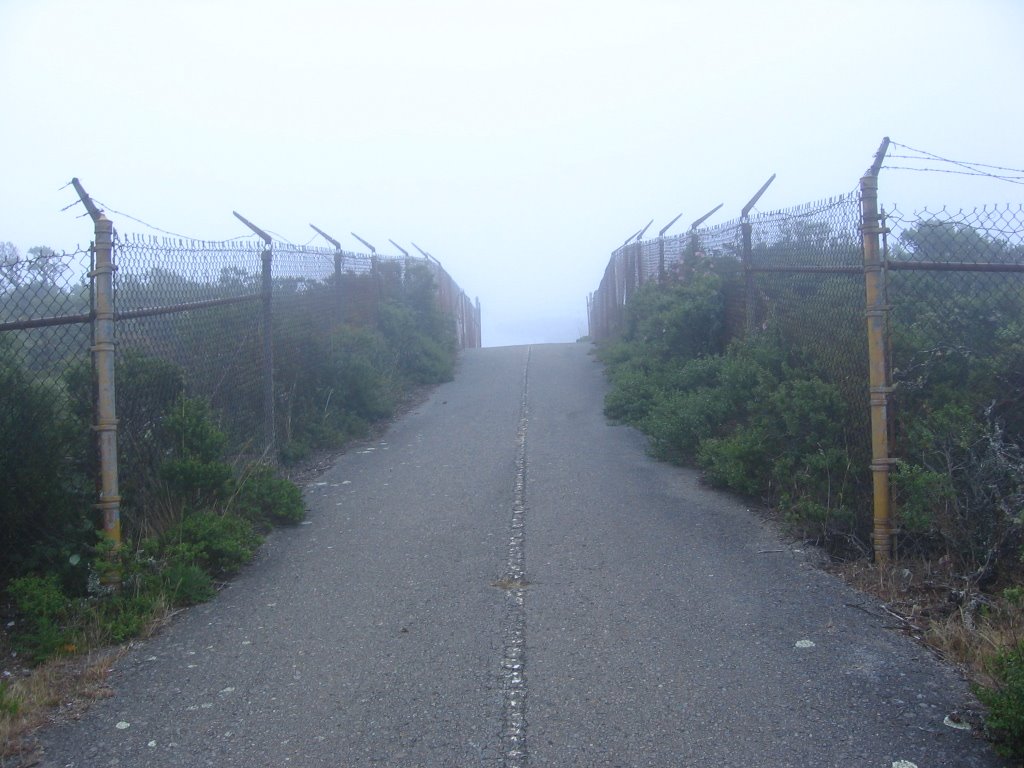 Final approach to Hill 88.
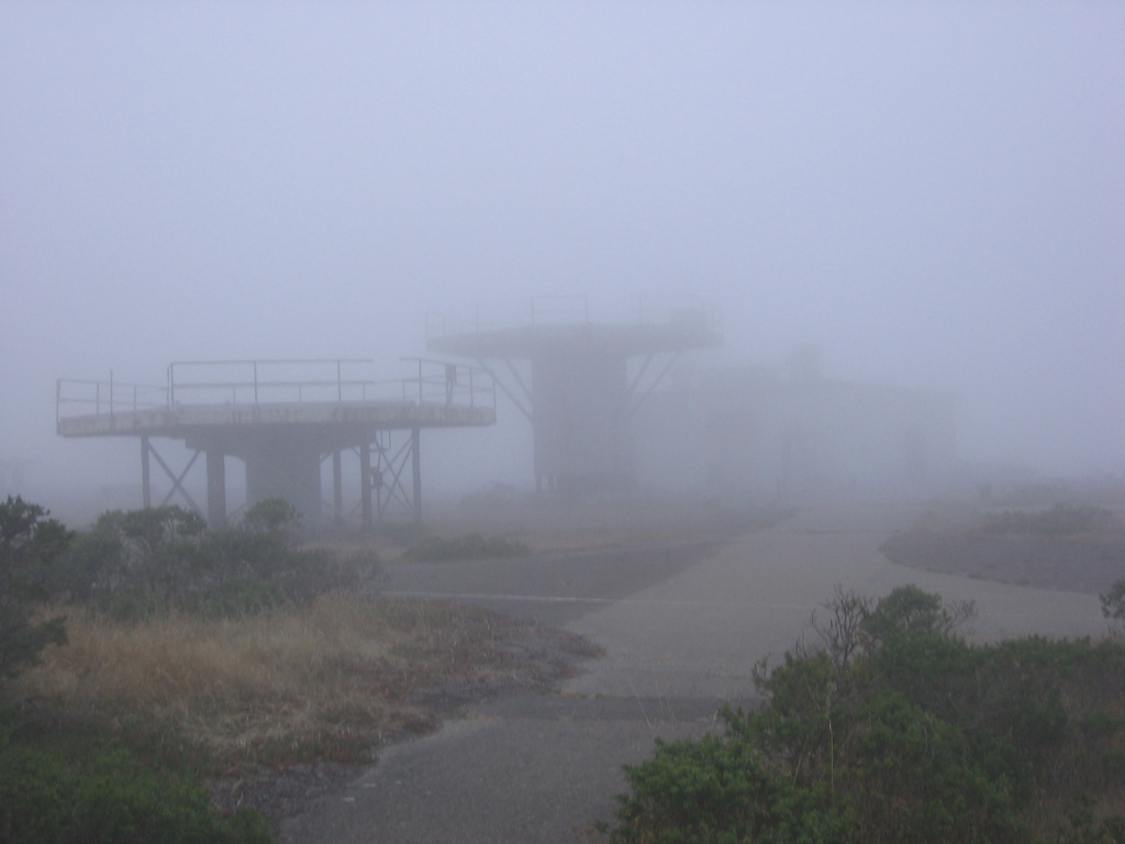
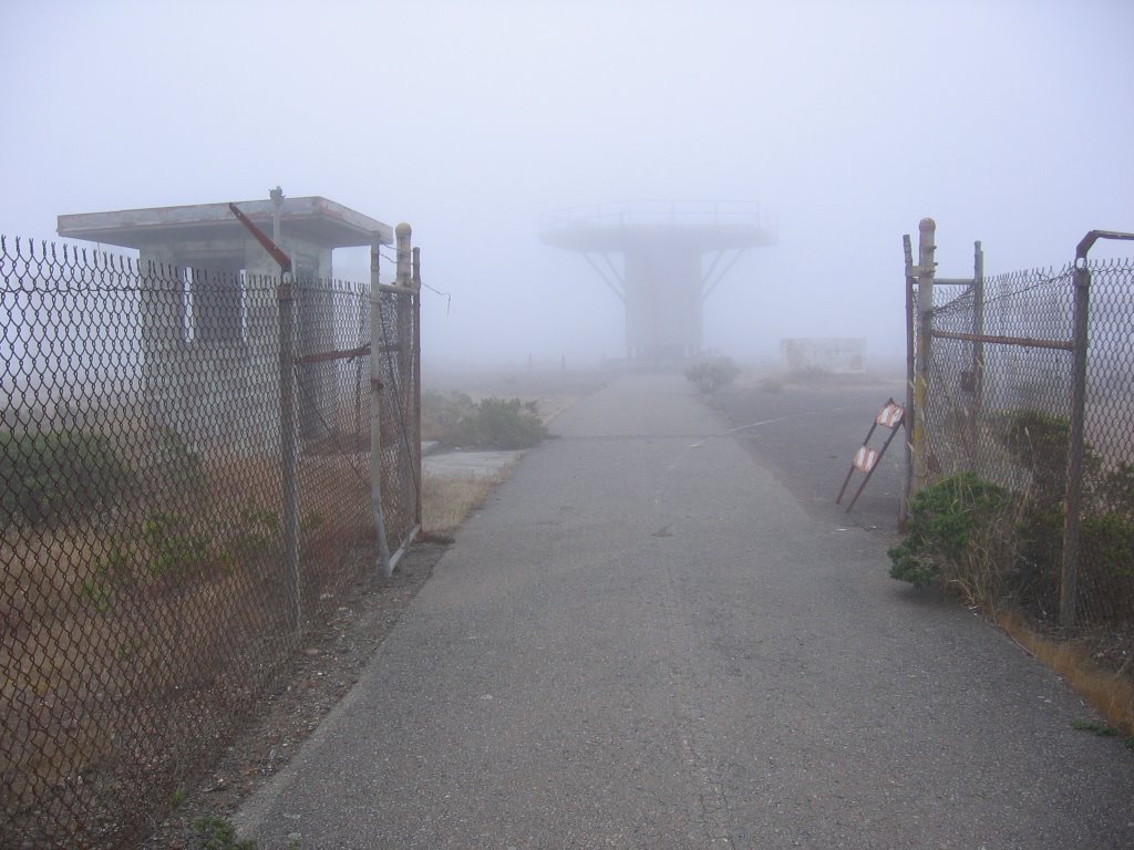 Elevation 960 ft. Summit of Hill 88.
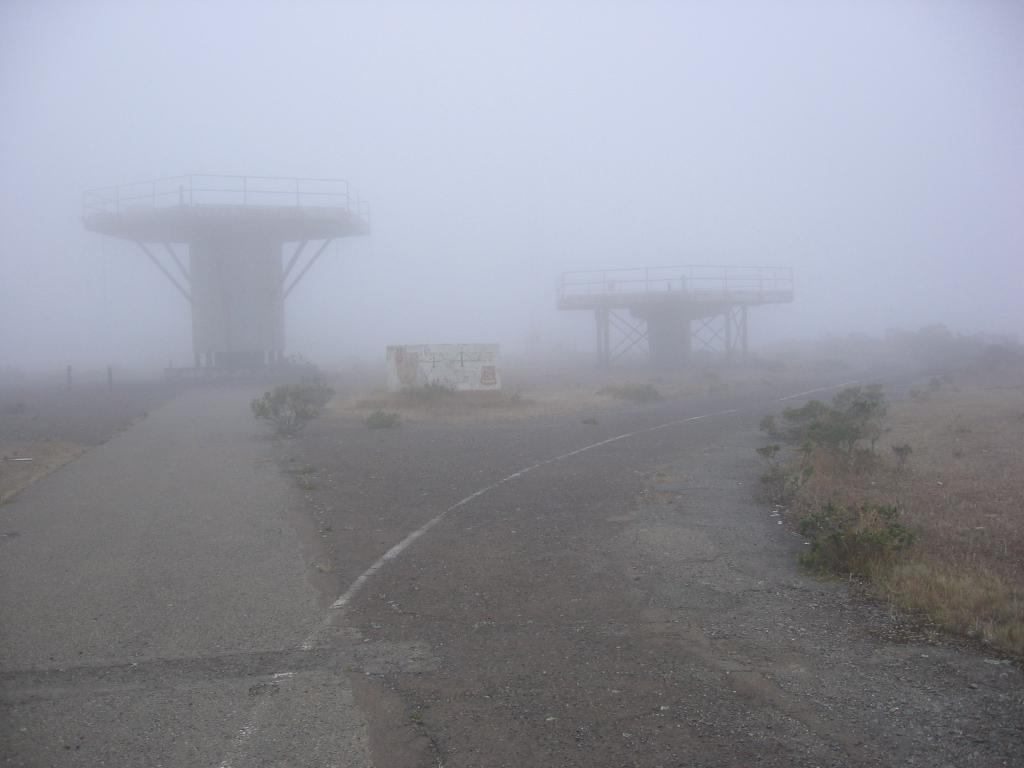 Constructed in the mid-1950s, these structures used to be radar beacon platforms for the Nike surface-to-air missiles. Armed with nuclear warheads, the second generation Nike Hercules missiles were designed to take out several Russian bombers at once. When intercontinental ballistic missiles (ICBMs) were invented, these sites became redundant and were abandoned.
 The Oozlefinch.
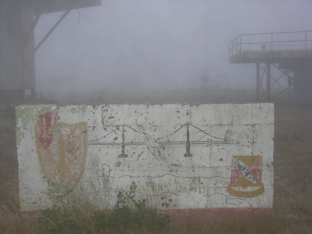 What's left today.
Thomas Sturm has an interesting blurb about this place:
There is always something special about visiting abandoned sites like this - filled with the ghosts of a past that is visibly slipping away, a steady reminder that nothing of our physical presence, not even concrete and steel, will survive for more than a few generations.
Mae has a a different take on this.
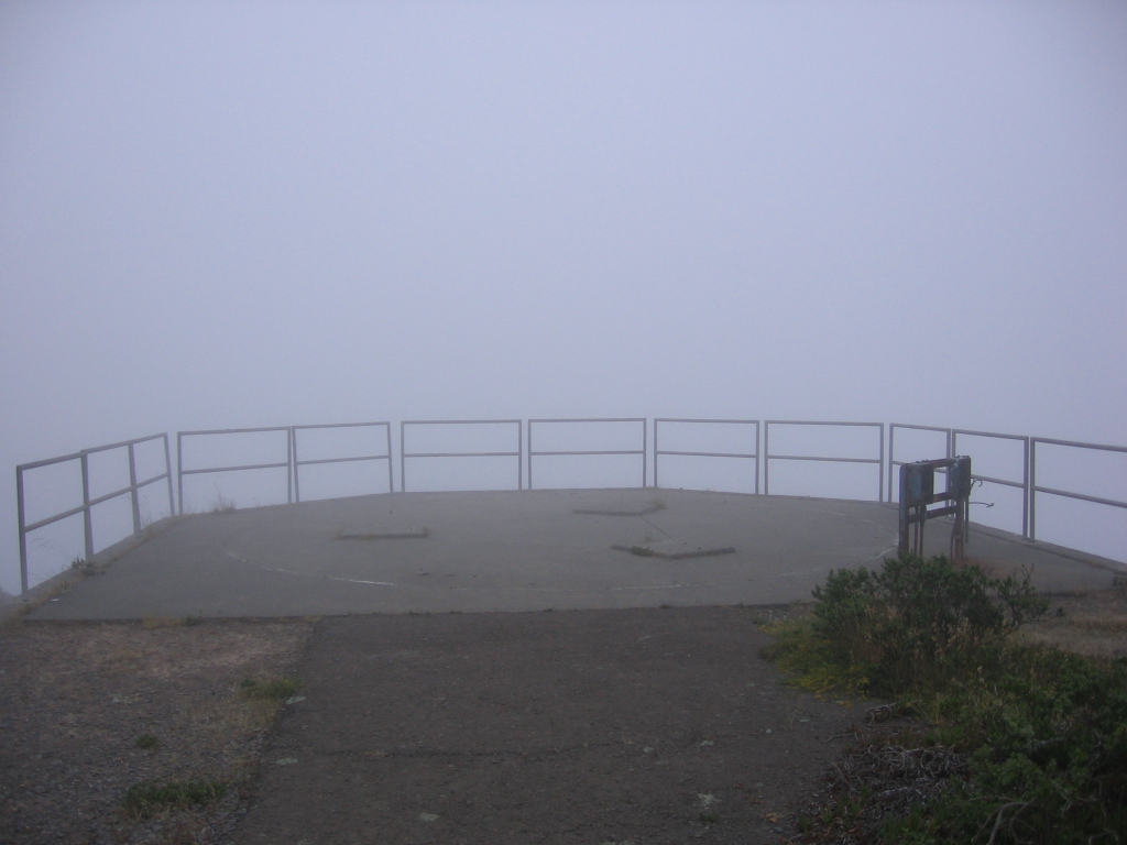 My usual lunch / snack / tea spot.
What it looks like when there is no fog.
 On a clear day, you can see San Francisco, Twin Peaks, Pacifica, Fort Cronkhnite, Rodeo Beach, Point Bonita, and the Golden Gate Bridge from here, but there is also something special about hiking up here in the fog.
The temperature is a nice 57 F (13.9 C), much more pleasant than the 107 F (41.7 C) on Pine Mountain earlier.
The view on a clear day.
 A final look around before descending.
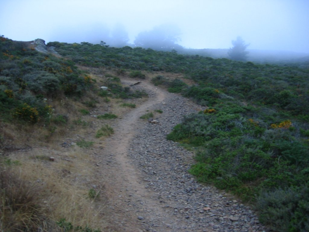 This trail is open to bicycles, but the effort involved in carrying bicycles up and down the steep and narrow flight of stairs; the fact that the trail dead ends at Hill 88 with no legal way down other than the same path; and the short distance (under 3.5 miles); reduce bike traffic to about zero.
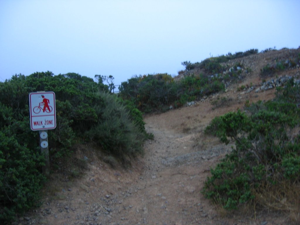 Signs on either end of the stairs remind cyclists to dismount.
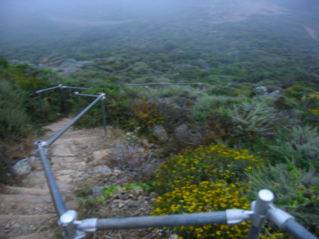 The stairs.
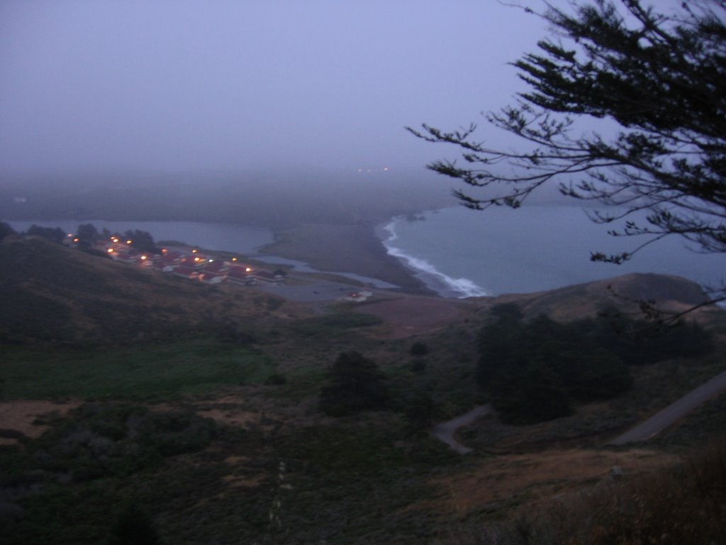 Emerging from the fog layer and looking at Fort Cronkhite, my car in the parking lot, Rodeo Lagoon, Rodeo Beach, and the road leading down.
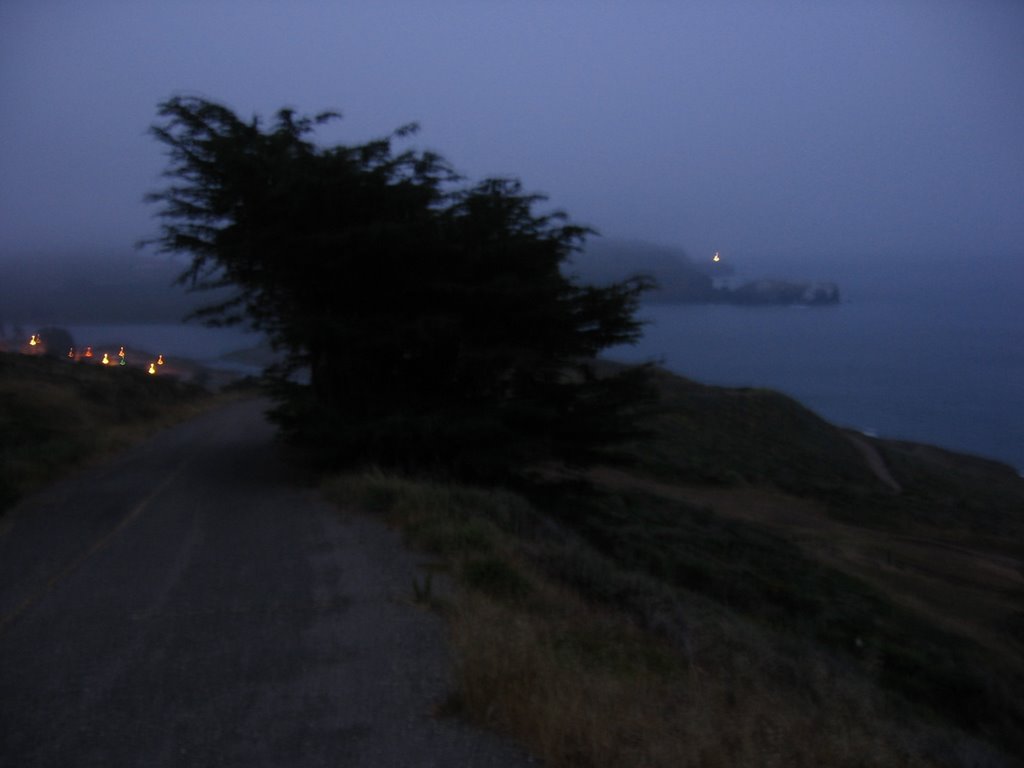 Final descent to Fort Cronkhite. Point Bonita Lighthouse is visible to the right of the tree.
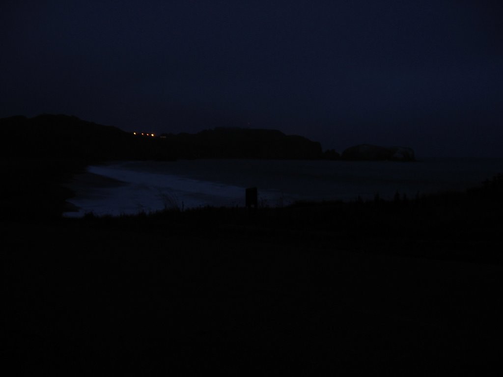 Rodeo Beach at dusk.
There is a meditative quality to hiking alone in the fog. You continue to hear birds sing, bunnies and salamanders rustle in the shrubs, but a cotton-white haze prevents you from seeing them. It is all at once surreal, dreamy — soothing — and yet, a little worrying: now that you are not watching, is anyone — or anything — watching you?
Hike conducted solo.
