After reading the following 2 weather advisories on Sat 18 Feb 2006,
000
FXUS66 KMTR 182348
AFDMTR
AREA FORECAST DISCUSSION
NATIONAL WEATHER SERVICE SAN FRANCISCO CA
246 PM PST SAT FEB 18 2006
SNOW LEVELS ARE EXPECTED TO BE AROUND 1500 FEET...ALTHOUGH A RAIN/SNOW MIX WILL BE POSSIBLE BELOW THAT ELEVATION. QPF ESTIMATES OF AROUND A HALF INCH WILL GIVE UP TO 2 INCHES OF SHOW ACCUMULATION AT 1500 FEET...WITH OVER 3 INCHES POSSIBLE AT ELEVATIONS ABOVE 3000 FEET. A SNOW ADVISORY IS IN EFFECT FOR ELEVATIONS ABOVE 1500 FEET TONIGHT.
------
000
FXUS66 KMTR 190504
AFDMTR
AREA FORECAST DISCUSSION
NATIONAL WEATHER SERVICE SAN FRANCISCO CA
900 PM PST SAT FEB 18 2006
.DISCUSSION...A TASTE...AND FEEL...OF WINTER CONTINUES TONIGHT ACROSS THE DISTRICT. RAIN AND SNOW SHOWERS CONTINUED SATURDAY... WITH SNOW REPORTED DOWN TO LOW ELEVATIONS. IN FACT...THIS FORECASTER ACTUALLY HAD A LITTLE WET SNOW MIXED WITH RAIN DURING THE AFTERNOON AT SEA LEVEL. OTHER SNOW REPORTS INCLUDED 4 INCHES OF SNOW 10 MILES ESE OF CARMEL AT 4000 FT...1 INCH AT PACHECO PASS AT 1368 FT...AS WELL AS OTHER REPORTS. PLEASE SEE THE PRODUCT SFOLSRMTR (WMO HEADER NWUS56 KMTR) FOR THE FULL REPORT. AS EXPECTED...TEMPS WERE ON THE COLD SIDE TODAY WITH HIGH TEMPS RANGING FROM 31 AT MT DIABLO...33 AT SANTA RITA...AND 37 AT BEN LOMOND TO THE LOWER 50S IN THE WARMEST LOCATIONS.
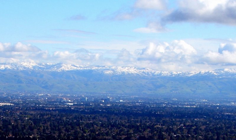
and a look at a map of
 temperatures across the nation,
 as well as the 5-minute sampling resolution of weather conditions at Lick Observatory on top of Mount Hamilton...
 one might be tempted to ask, "With miserable weather like this, what should one do?"
Why, the question is absurd!
Go cycling, of course! :D
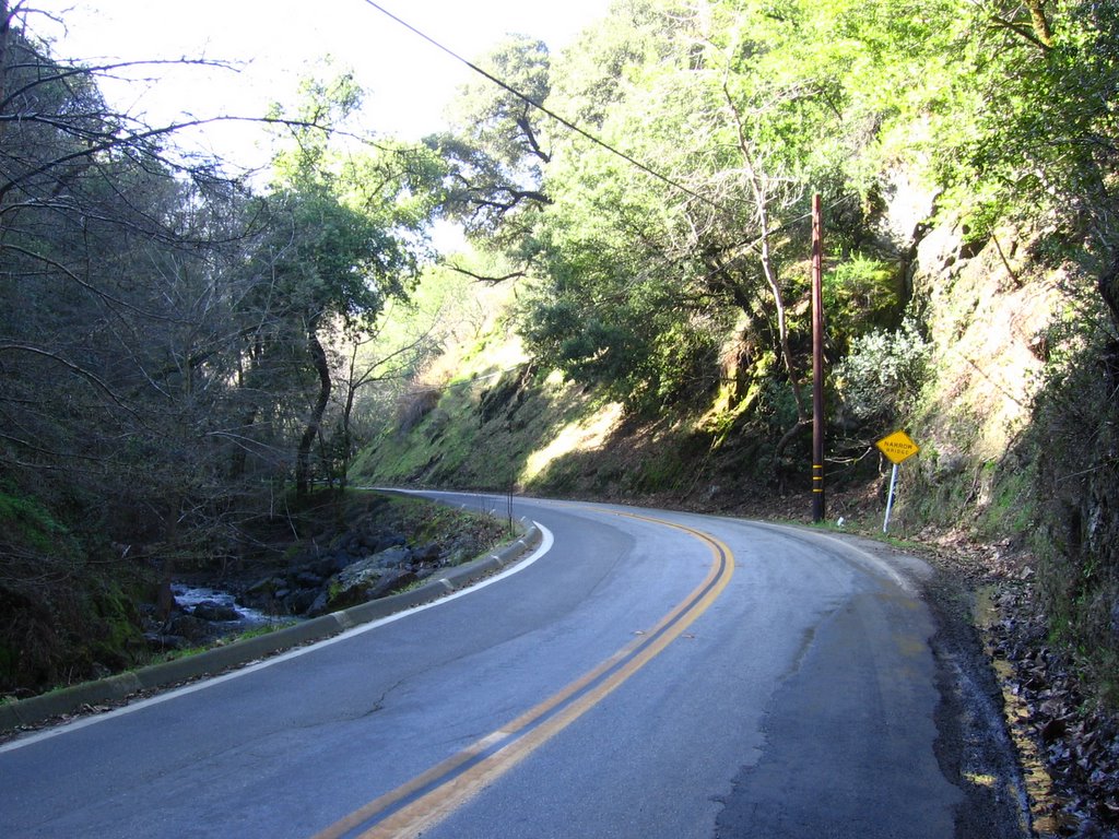
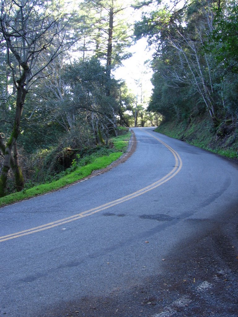
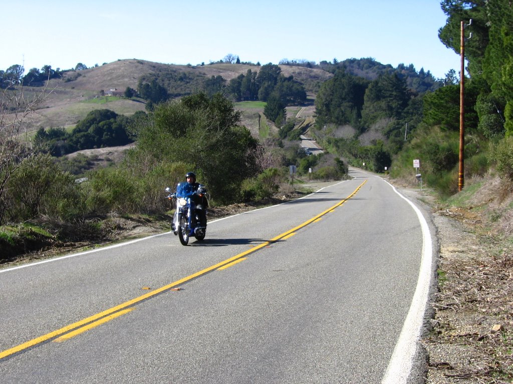
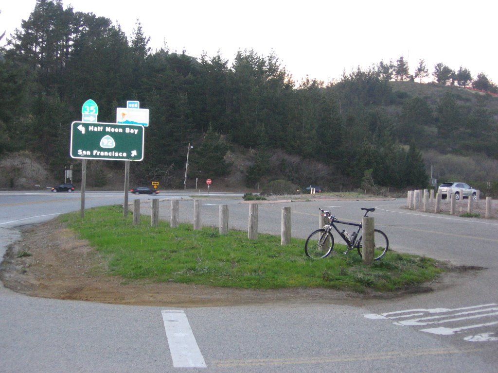
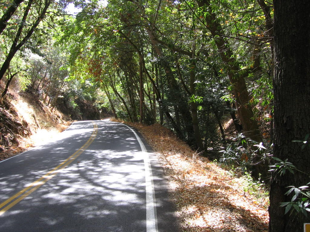
 Thus, I found myself somewhere up here cycling today. (Photo credit: ElHombre).
 Map of today's chilly ride. 1415 track points (blue diamonds) laid by the GPS unit.
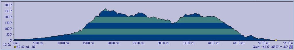
 TOPO!'s elevation profile.
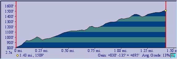
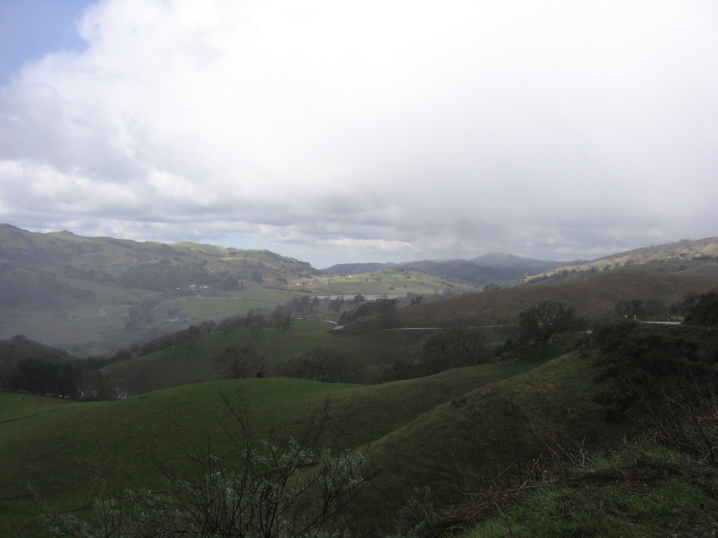 Cycling up from Hall's Valley (about 1550 ft). Temperature is 44 F (6.7 C) when I started.
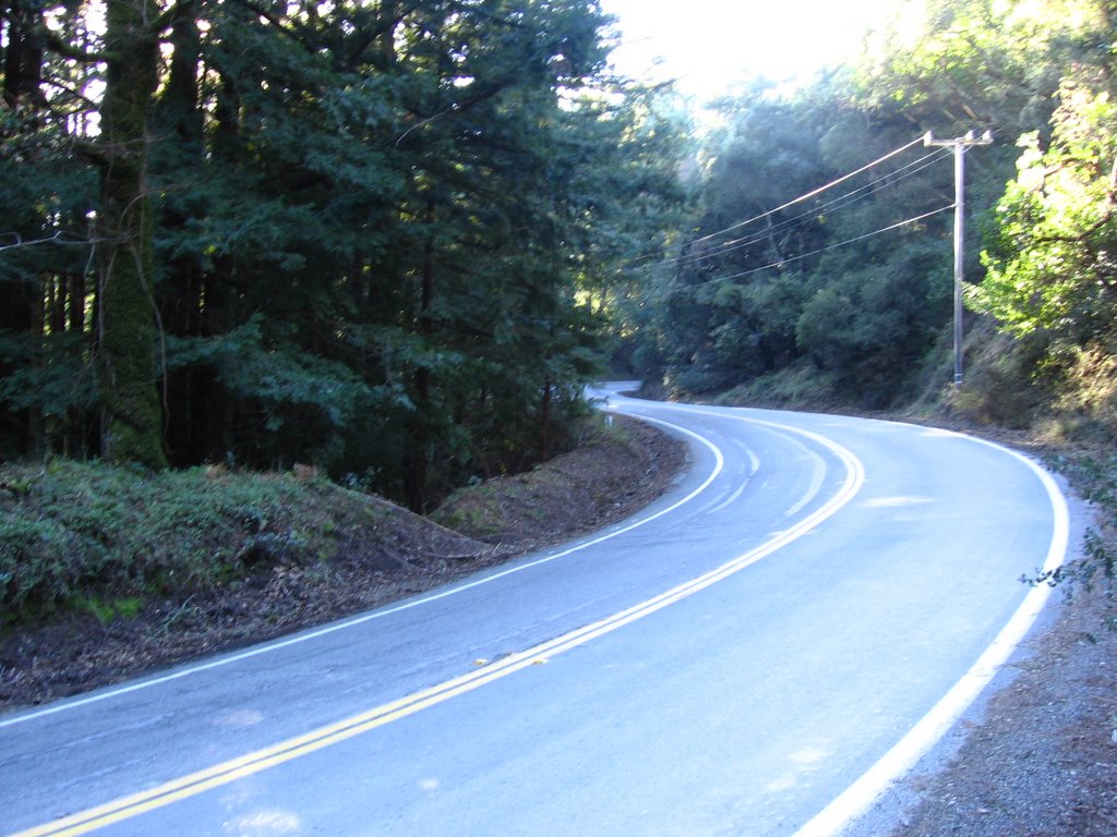
I am glad I didn't try to cycle the 8 miles (12.8 km) from San Jose to Joseph D. Grant Park like the previous time. Reports of snow attracted a horde of cell phone-wielding soccer moms and dads in their mini vans and SUVs, with their brood of screaming brats. The suburbanites and city folk possess no grasp of courtesy (or driving skill) on narrow mountain roads. Roadies who rode up from San Jose today must have brass balls, huge life insurance policies, or low medical insurance deductibles.
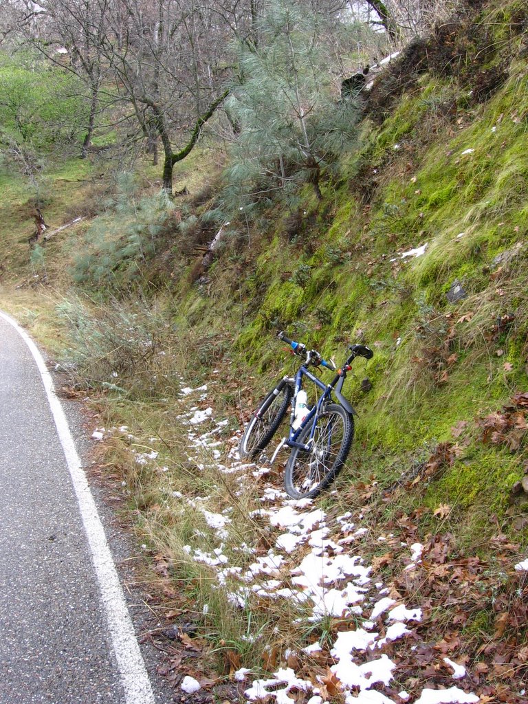 Elevation 2650 ft (808 m): a little after Kincaid Road, some snow by the side of the road.
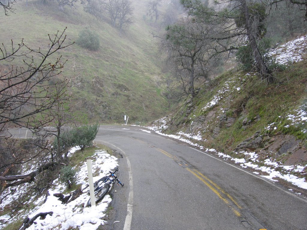 Elevation 3009 ft (917 m): more snow.
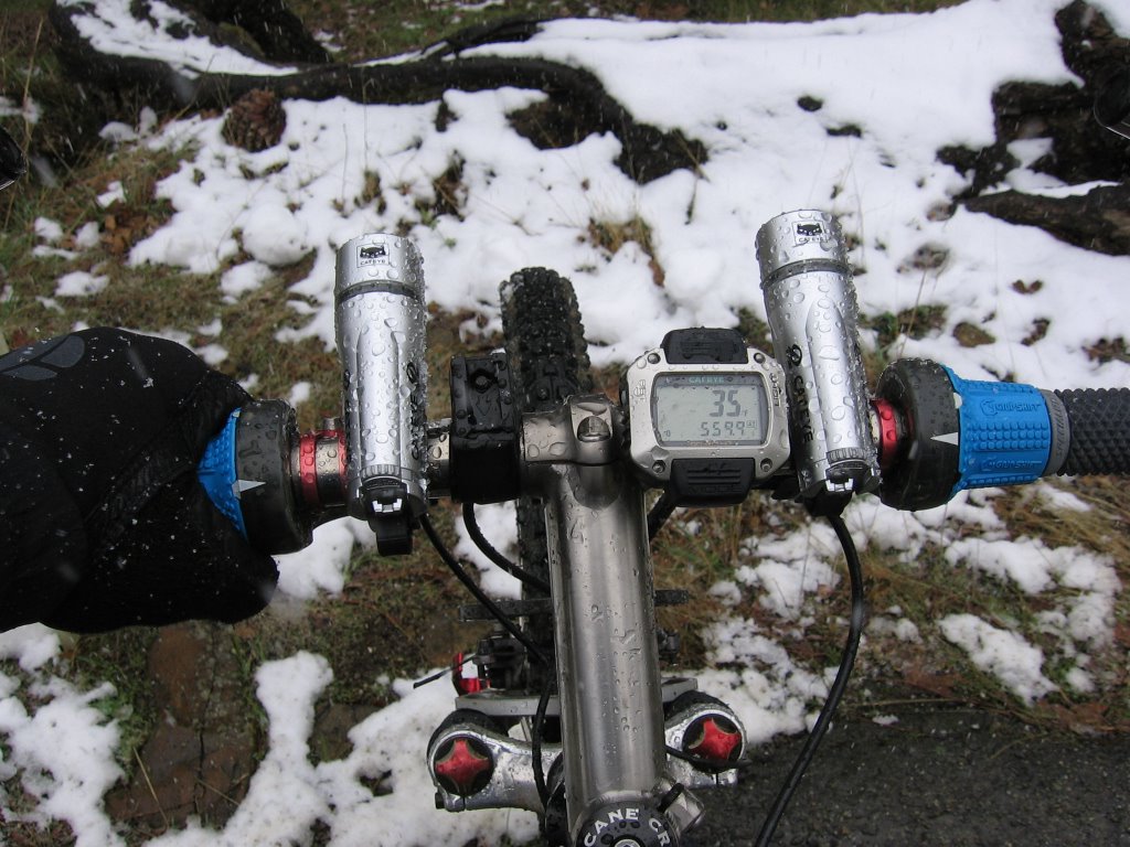 Temperature is 35 F (1.7 C).
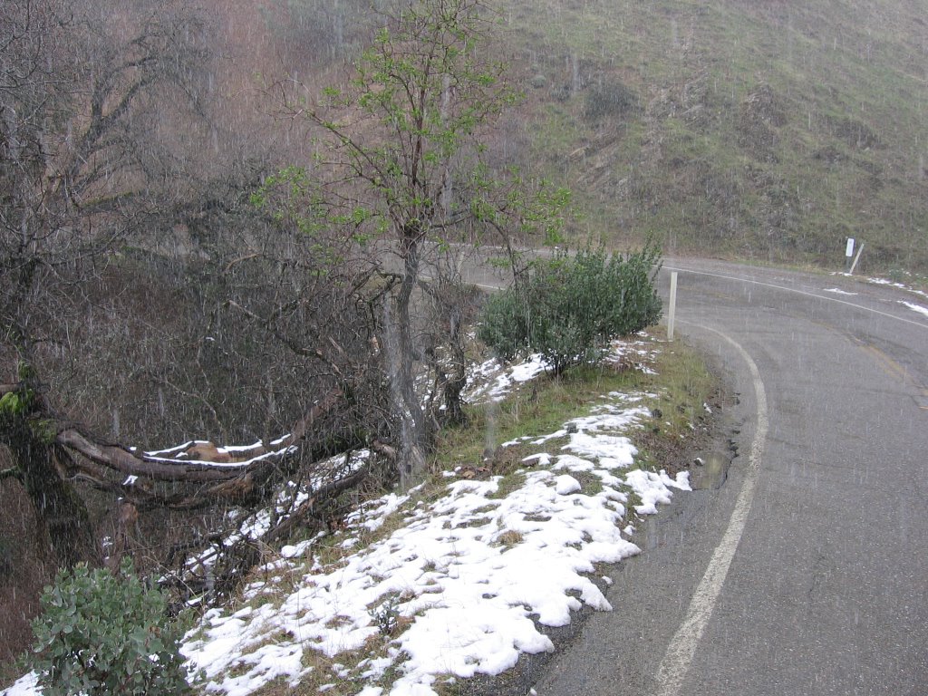 It's snowing.
Slipped a pair of these in the bladder section of my Camelbak. It was nice to have a warm pack on my back as I climbed in the cold.
 Still climbing.
 More snow.
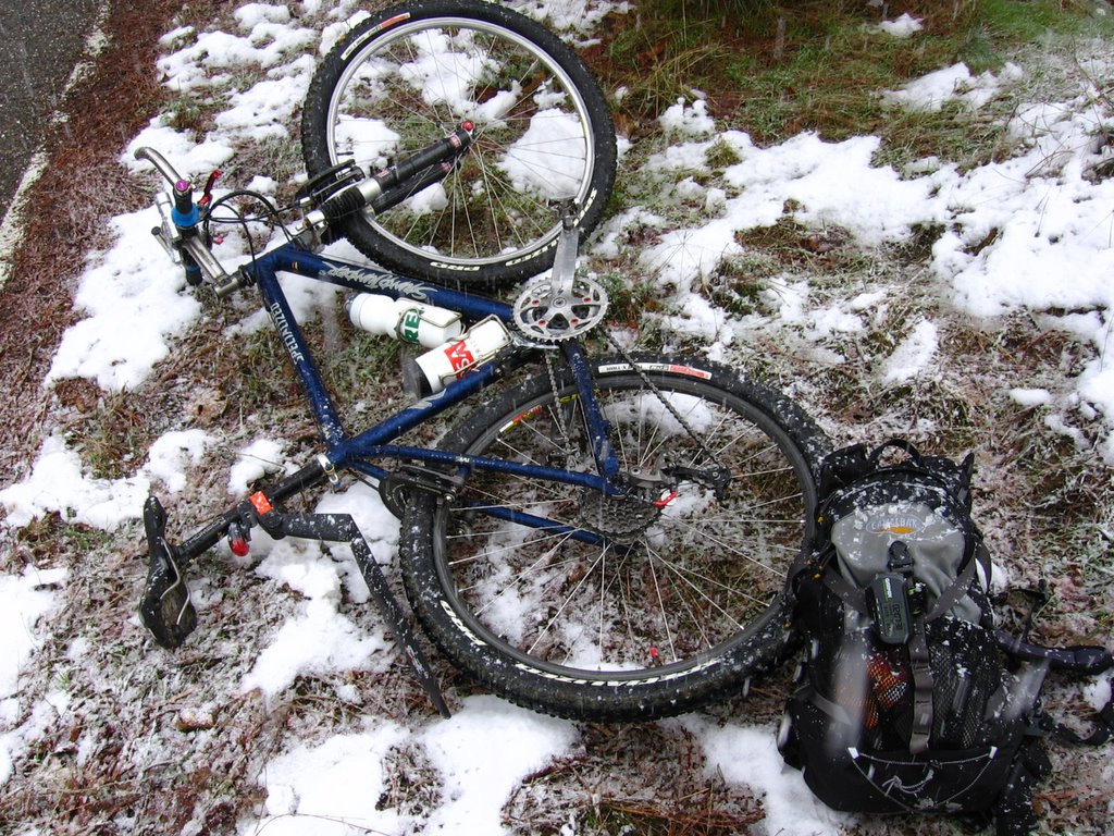 Snack break.
 Wheee!
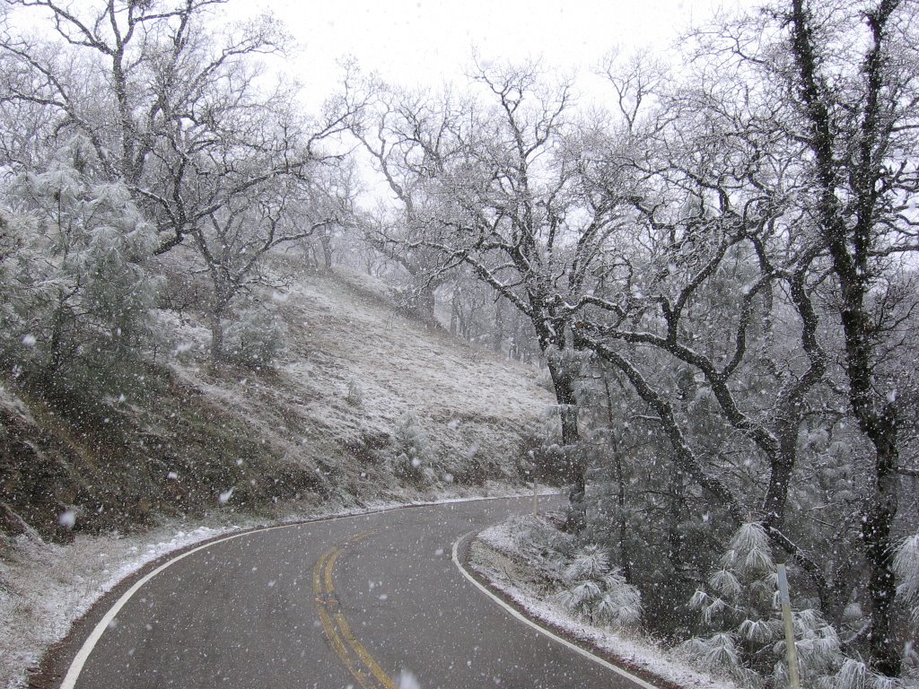 The snow came down in clumps rather than flakes.
 Temperature is 32 F (0 C).
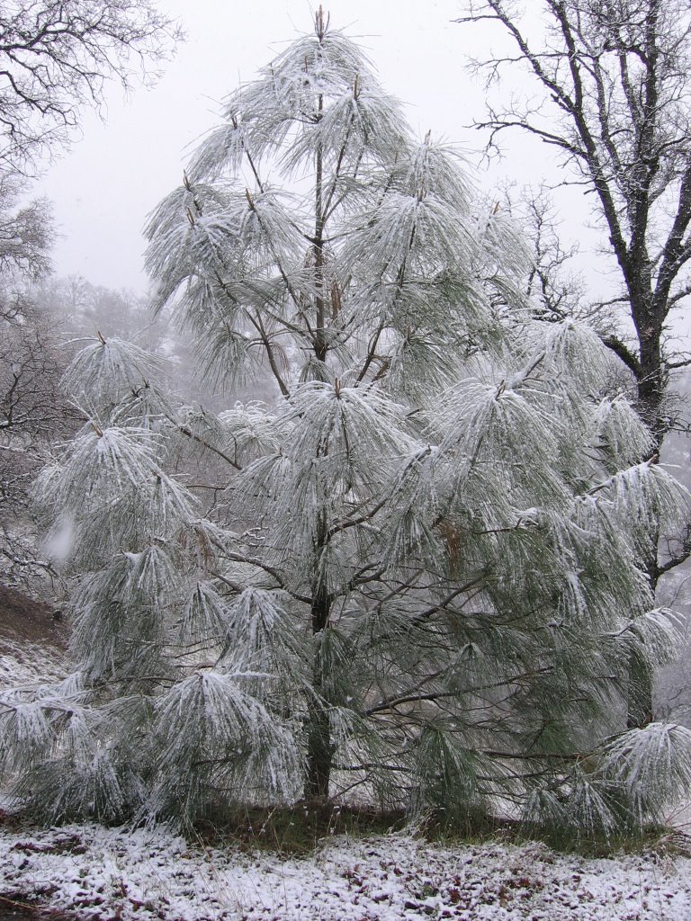 Some foliage shots.
 Close up.
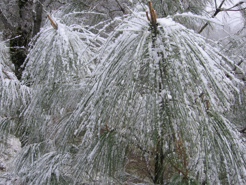 Closer.
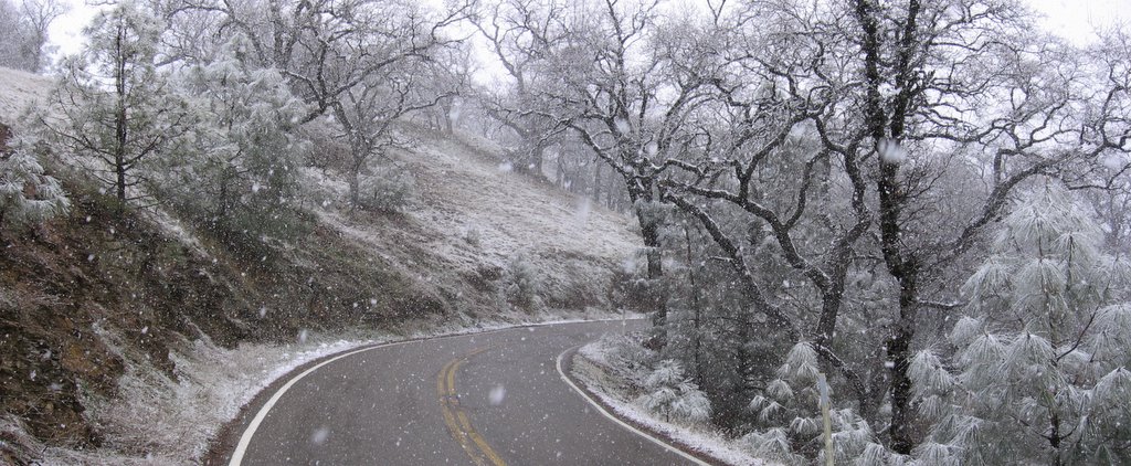 Elevation 3268 ft (996 m): unfortunately, this is about as far as I got up Mount Hamilton Road. A ranger driving up in her 4x4 caught me and ordered me to turn back (the road's closed and that includes bicycles). I was only 945 ft (288 m) from the 4213 ft (1284 m) summit too! : (
 Making the best of it, I remained where I stopped for a while and took more pictures.
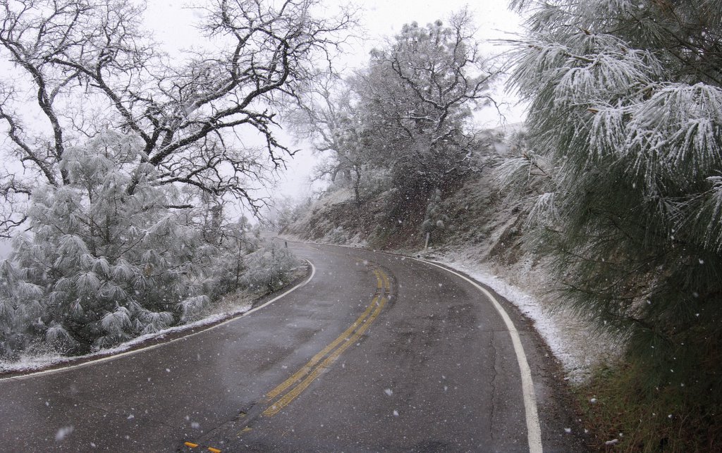 Heading back downhill. Next time I might bring a white windbreaker and a white helmet cover, and hide in the snow off the road when I hear a vehicle approaching. *grumble* *grumble*
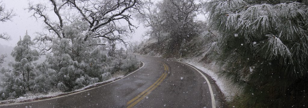 A wider view.
 the snow falling faintly . . . faintly falling . . ..
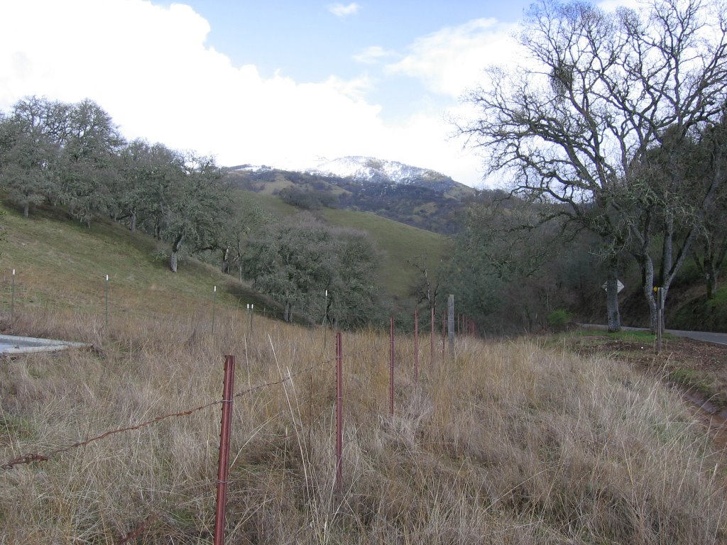 Elevation 2373 ft (723 m): Twin Gates parking lot. Looking back up.
 A closer view. A while ago, I was riding near the top of the peak on the right.
About 14 road cyclists showed up here while I was taking this picture. One of them had a flat and needed tools and a patch kit. Maybe it's just me, but I found it unbelievable that, spread among 14 roadies, no one had a patch kit, tire levers, or even a spare tube. Anyways, the fix was unsuccessful as the guy ripped his valve stem while re-installing the tube. I last spotted him calling for a cab from San Jose to bring him home. Boy, that's going to be one expensive ride.
 Elevation 2552 ft (778 m): climbed up to Canada de Pala Trail from Twin Gates. Temperature is 35 F (1.7 C). Time is 3:49 PM. It has started to snow here too. Red arrow indicates where I was stopped earlier and forced to turn back.
 Zooming in on how close I was to the summit when I was stopped (red dot). So close, yet so far.
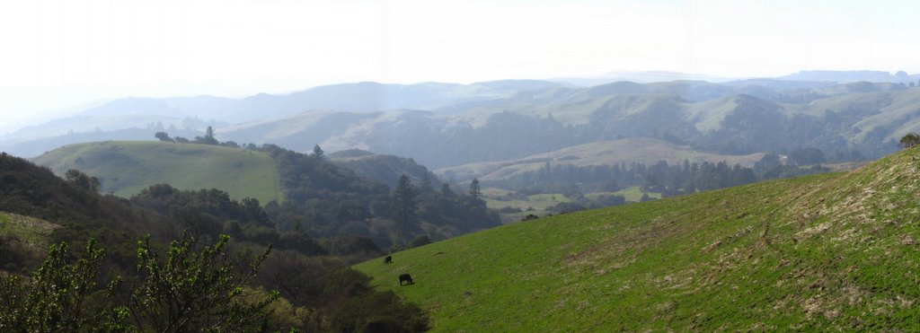
 Sunlight breaking through on Hall's Valley.
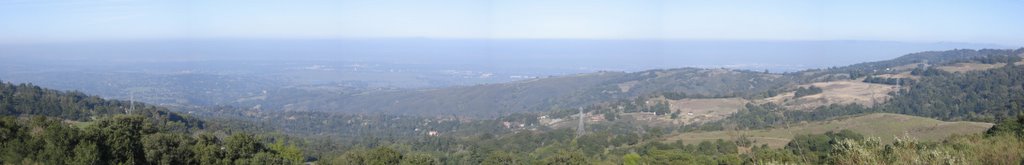
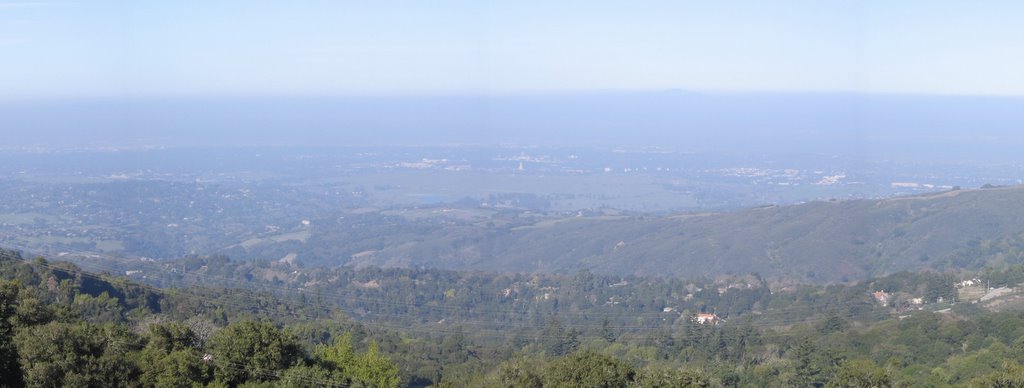
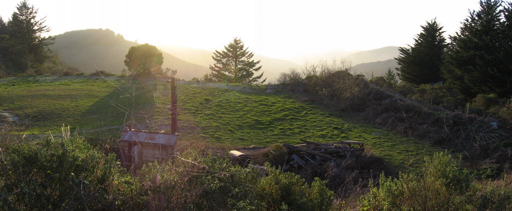
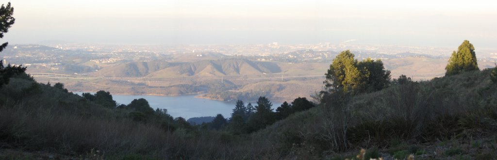
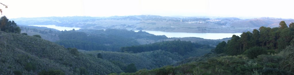
 Elevation 2686 ft (819 m): lunch break. From left to right, Joseph D. Grant parking lot, Highway 130 / Mount Hamilton Road, Grant Lake, Bay Area in the distance, and the 2995 ft (913 m) high Antler Point on the right (I believe).
 A closer view.
 My Valentine's Day gift to myself: the Jetboil ultra-compact stove. Weight? 15 ounces (425 g). When collapsed, it is smaller than a regular wide mouth Nalgene bottle.
 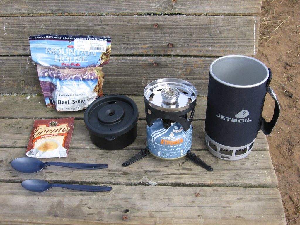 Stove expanded. Yes, all that came from inside that cup. The tiny 100-gram canister has enough fuel to boil 12 liters of water.
 Jetboil in action. It boiled 2 cups of water in 1 min 40 seconds.
 The view as I made lunch.
 4:25 PM: the temperature is 33 F (0.6 C). It's starting to snow again. Time to make a big mug of hot chocolate and enjoy.
 5 PM: time to start heading back.
 A picture of Los Huecos Trail that I didn't manage to take the last time. This slope is located immediately after the 1st vandalized sign.
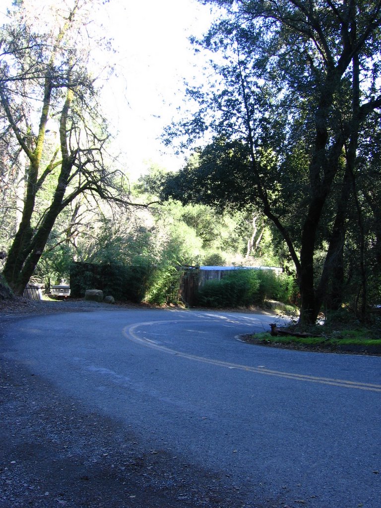
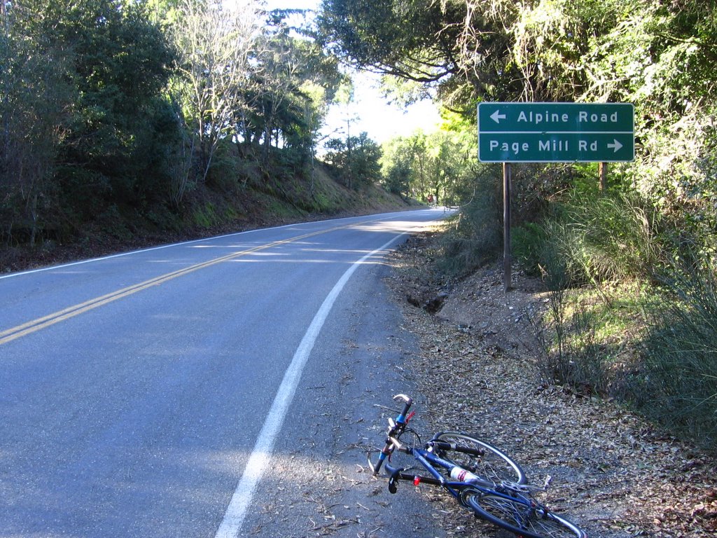
 The 2nd vandalized sign. After this longer downhill (caution: no run-off space at the bottom), it's a short spin back to the car.
Epilogue:
Total distance: cyclo-computer 17.7 miles (28.32 km) / GPS 18.77 miles (30 km) / TOPO! 18.11 miles (28.98 km).
Total elevation climbed: Altimeter 3380 ft (1030 m) / GPS + TOPO! 3131 ft (954.6 m).
Temperature range: 32 F to 44 F (0 C to 6.7 C).
Fluids consumed: 0 liter of CytoMax, 0.3 liter of water, 0.3 liter of hot chocolate.
Ride conducted solo.


