Jumped on the 3:05 PM Northbound CalTrain to San Francisco on a lazy Saturday afternoon with my bike. Arriving in San Francisco 95 minutes later, the temperature was a crisp 57 F (13.9 C).
 Track of the ride (red line), overlaid with 1722 track points (blue "line") from the GPS unit. Direction of the loop portion is clockwise.
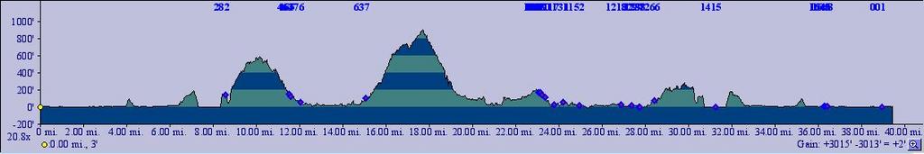
TOPO!'s elevation profile of the track.
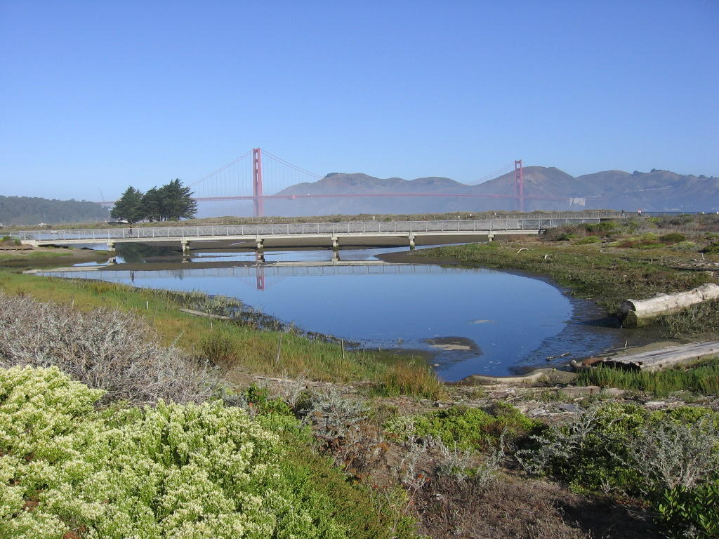
 6 miles later: Crissy Field. Fog rolling in from the Pacific Ocean. The Golden Gate Bridge lost in the fog. A view without the fog.
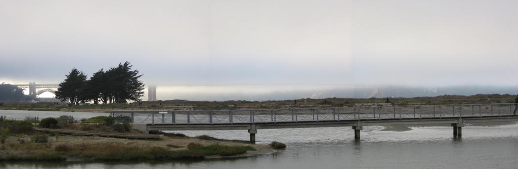 A panorama.
 Fog lifting over the Golden Gate Bridge.
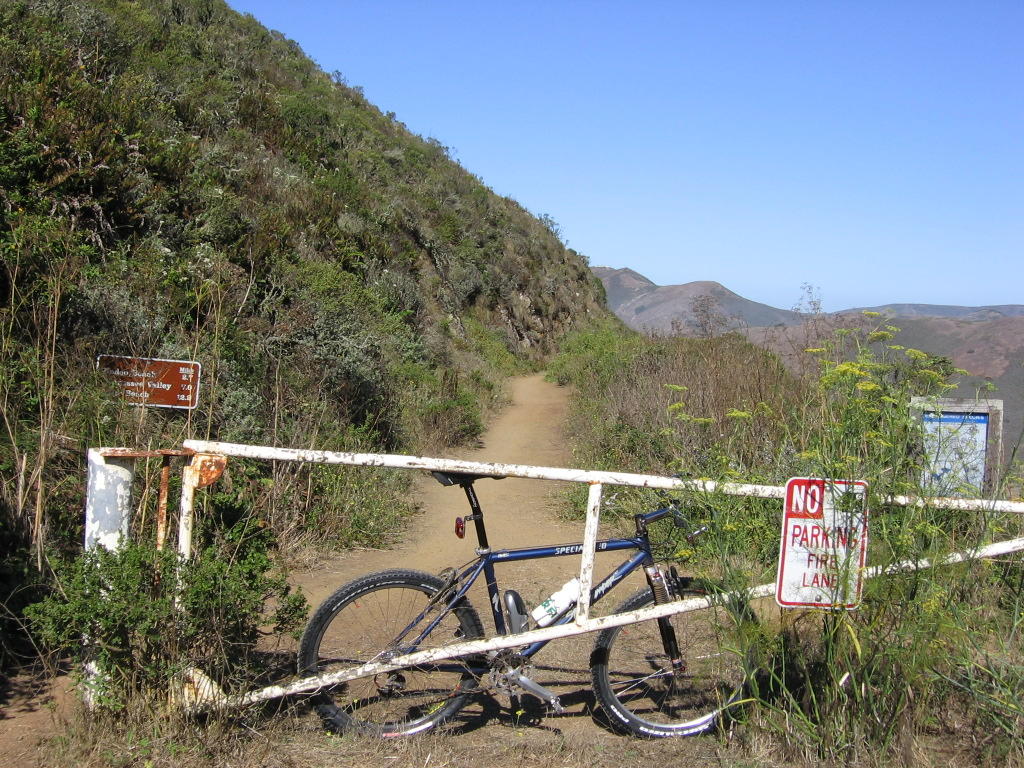
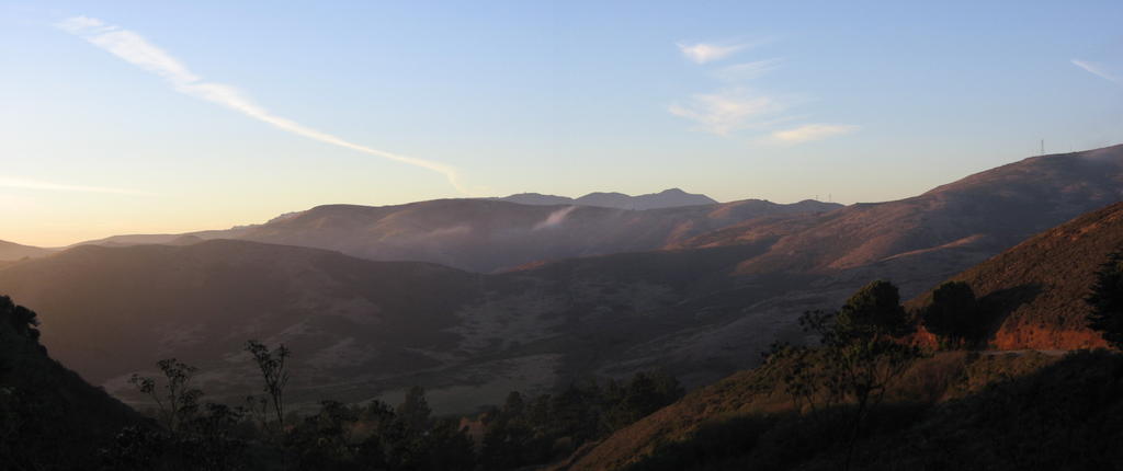 After crossing the Golden Gate Bridge and having climbed up Conzelman Road to the Coastal trailhead (elevation 580 ft), the sunset over Gerbode Valley in the Marin Headlands greets me. McCullough Road is on the right.
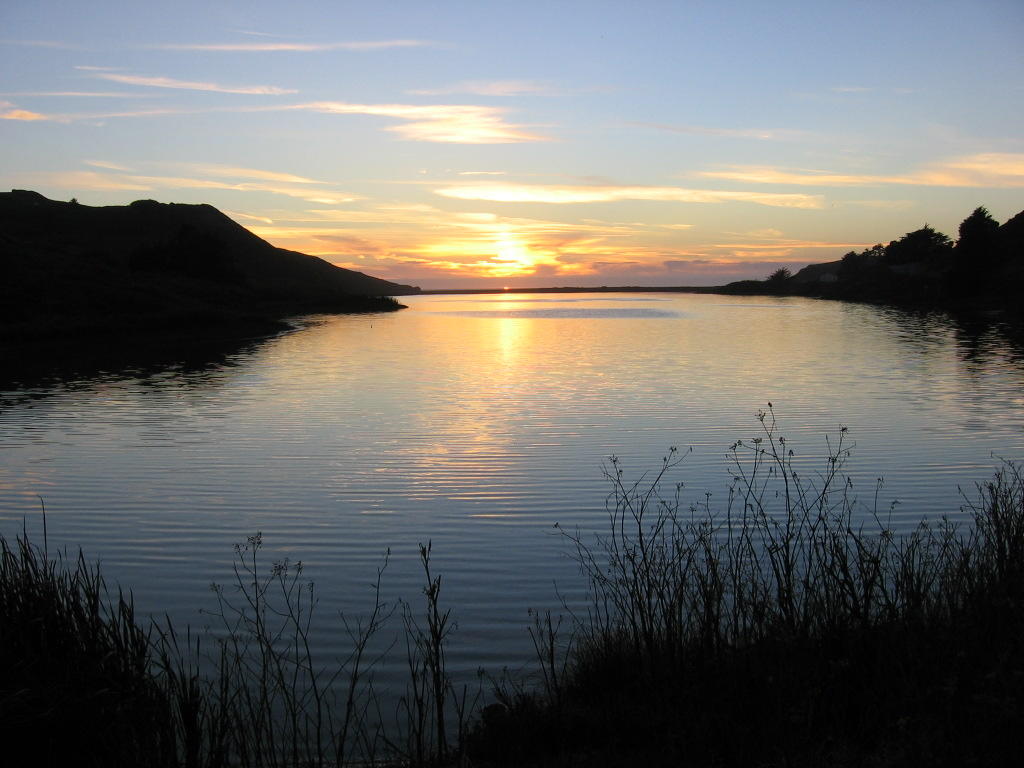 After bombing down Coastal trail--a sunset over Rodeo Lagoon. The thin strip of land is Rodeo Beach, and beyond that, the Pacific Ocean. Fort Cronkhite and the Headlands Institute are on the right side of the beach.
 A panorama.
 Dinner by Rodeo Beach.
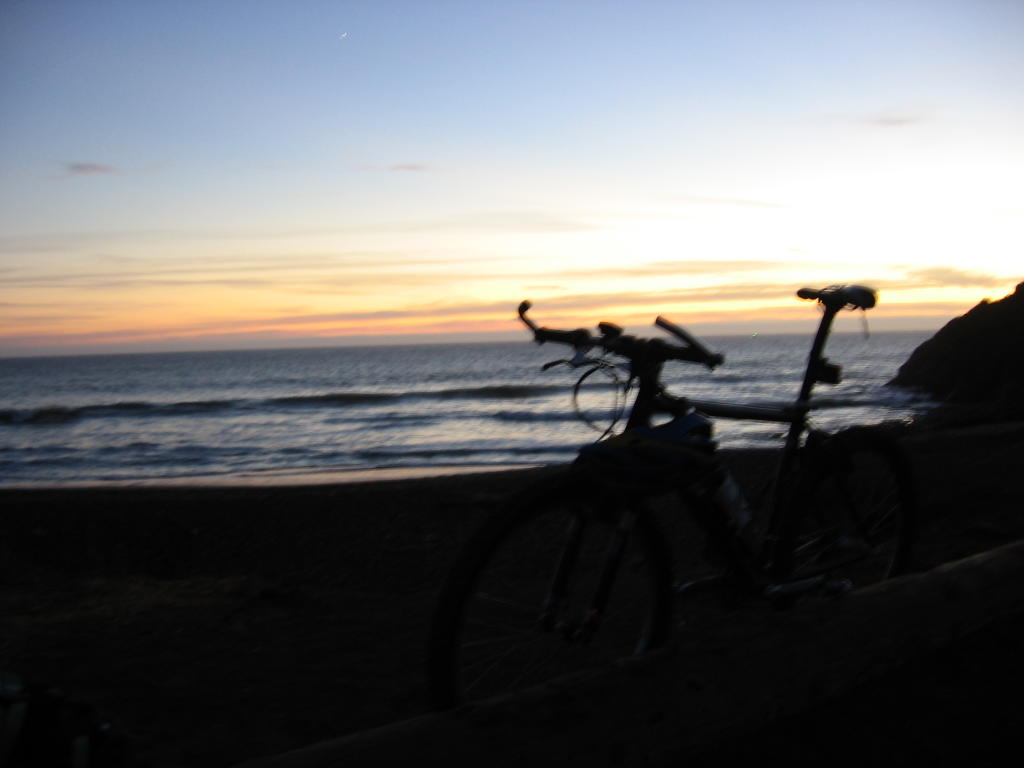 Waiting for darkness.
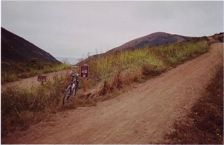
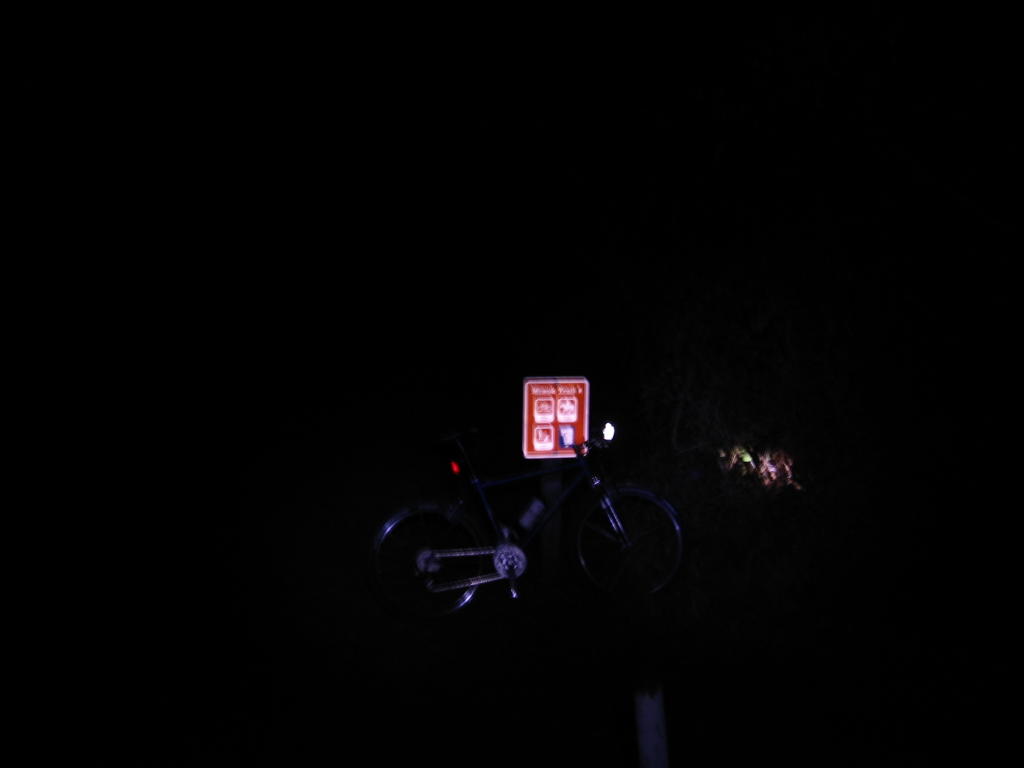 Miwok trailhead. The same, but taken with flash. The view during the day.
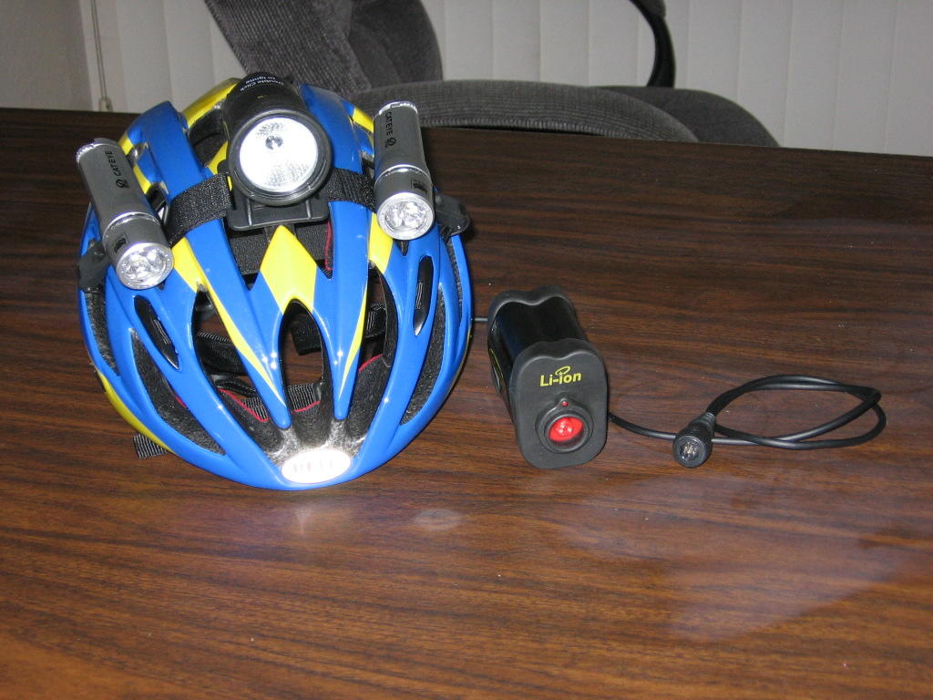 Lights on helmet: two Cateye HL-EL400 LED lights and one Light & Motion ARC Li-ion HID light.
 Beginning of Bobcat trail illuminated by one Cateye HL-EL300 handlebar light, and two Cateye HL-EL400 helmet-mounted lights.
 Light & Motion ARC Li-ion HID helmet-mounted light turned on and warming up (takes 15 to 30 seconds to achieve full brightness).
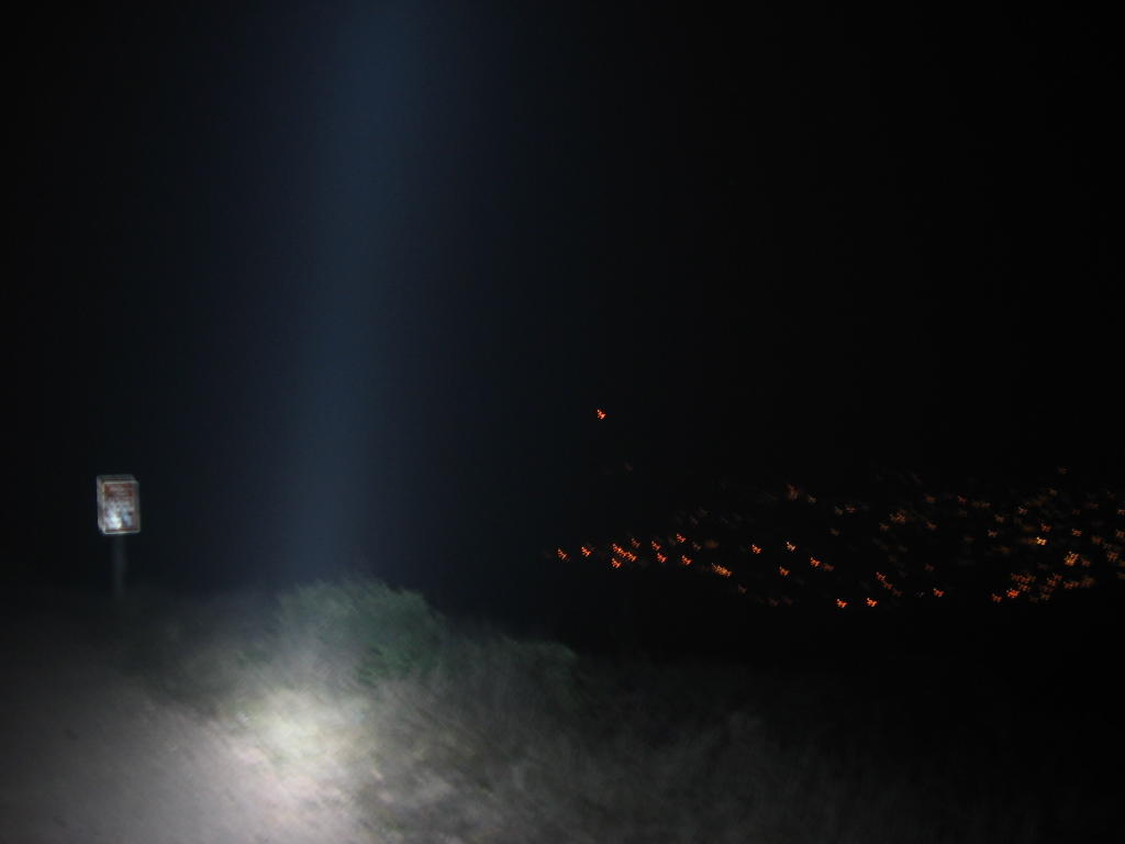 Summit of Bobcat trail: elevation 914 feet. Switching over to Marincello trail for the downhill into Tennessee Valley. View of Marin City and Sausalito.
 Another view of Marin City, Sausalito and Richardson Bay. The pillar of light is not from God, but from the HID lamp.
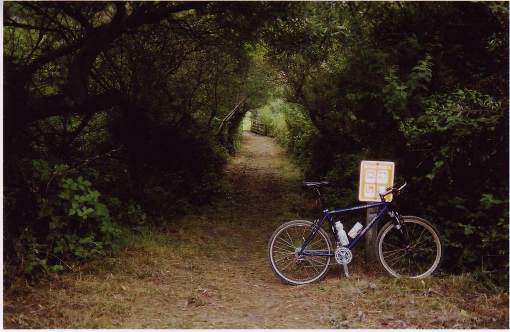
 Tennessee Valley trail. The right branches off to become the portion of Coastal trail that leads to Muir Beach. Elevation 100 ft. Current temperature 44 F (6.7 C). View during the day.
Tennessee Beach. Sign says: "WARNING! Dangerous cliffs and surf." Repeat to yourself, "What I can't see, can't hurt me," and you will be just fine.
 Cliff edge and the beach below.
I wait. Now the night flows back, the mighty stillness embraces and includes me; I can see the stars again and the world of starlight. I am twenty miles or more from the nearest fellow human, but instead of lonliness I feel loveliness. Loveliness and a quiet exultation (Edward Abbey).
 On the way back, a short detour to "The Tunnel" to snap a couple of pics. Barry-Baker Tunnel is a one way, half-mile long conduit leading in and out of the Marin Headlands that serves as a fallback alternative for tired, exhausted or injured cyclists.
 Inside the tunnel. Bicycle lanes on either side. The light at the end of the tunnel is that of an approaching
  Passing by Crissy Field again on the return leg: Golden Gate Bridge at night.
Caught the 12:01 AM train.
Reached home at 1:58 AM Sunday.
Epilogue:
Total distance: Cyclo-computer 43.84 miles (70.14 km) / GPS 42.34 miles (67.74 km) / TOPO! 43.03 miles (68.85 km).
Total elevation climbed: Altimeter 3060 ft (933 m) / GPS + TOPO! 3015 ft (919 m).
Temperature range: 57 F to 44 F (13.9 C to 6.7 C).
Fluids consumed: 2 liters.
My neck is a little sore from having to support the helmet-mounted lights over off-road terrain during the night. The next time I do this, I will gladly fork over US$18 for 6 Lithium AAA batteries to reduce the weight of the two Cateye HL-EL400 LED lights on the helmet by 33%. Every little bit helps.
A group night ride may be in the works next time:


No comments:
Post a Comment