Decided to go on an easy afternoon ride on this national holiday. Parked in the usual lot across McClellan Road, assembled my bike and I was off.
 Map of the ride. Near the upper left hand side, Page Mill Road descends to the rear of Stanford University and Palo Alto. Skyline Boulevard / Highway 35 leads northwards towards San Francisco. Below, Highway 9 leads southwestwards towards Santa Cruz and the Pacific Ocean. Apple and Symantec are pretty nearby too :)
 TOPO's elevation profile of today's ride. 853 track points (blue diamonds) from the GPS unit. Error factor increased quite dramatically in the canyon as the unit could only "see" one satellite (or sometimes none at all) due to the canyon walls.
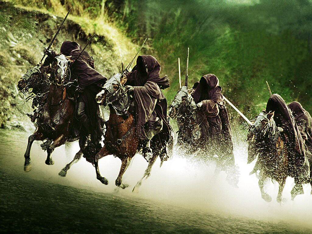
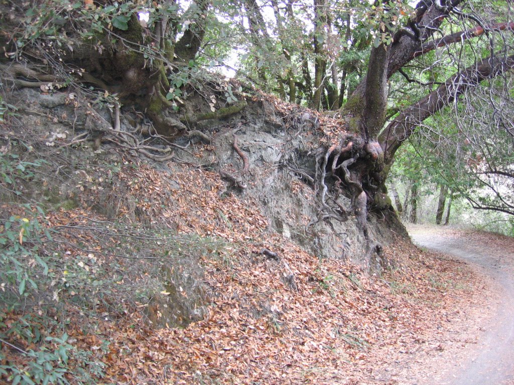 Elevation 1205 feet: for some reason, this section of the trail always reminds me of that scene in Lord of Rings, where Frodo and his friends were hiding from Ring Wraiths.
 First of the two stream crossings. The rocks were put there by hikers.
 Lingered here for a half-hour or more, listening to nothing but the bubbling brook and the rush of the wind in the trees...
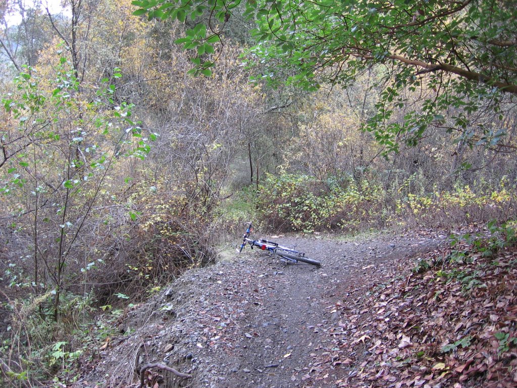 Onwards and upwards.
 Elevation 1245 feet:
 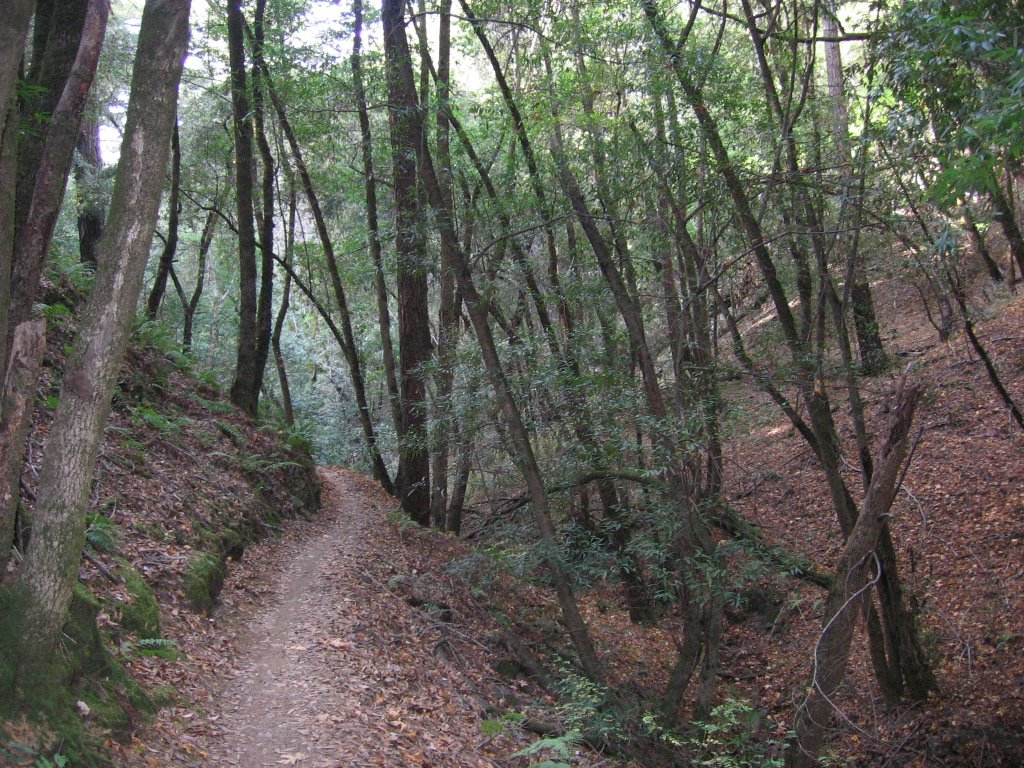 Leaving Stevens Canyon Trail, getting on Grizzly Flat Trail. Very few pictures as I was pressed for time (sunset at 4:51PM). For some strange reason, on the climb up, I was thinking of zeenie's Fortune nuts. I don't know why. I mean, I had a lot of water with me... Maybe it is because I skipped lunch. What is it with guys and round, soft and smooth objects? Hmm... *grin*
 Second stream crossing. This is a file picture as my camera lens kept fogging up near the cold water. Why Grizzly Flat? About 100 feet up is a flat platform where Grizzly bears lived during the 1800s (but are now extinct).
 Elevation 2325 feet: Grizzly Flat Trailhead at Skyline Boulevard / Highway 35.
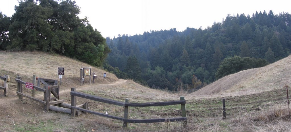 Across the 2-lane-highway is the Long Ridge Open Space Preserve. North is to the right.
Epilogue:
Total distance: cyclo-computer 21.3 miles (34.08 km) / GPS 21.36 miles (34.18 km) / TOPO! 21.85 miles (34.96 km).
Total elevation climbed: Altimeter 2570 ft (783.54 m) / GPS + TOPO! 3002 ft (915.24 m).
Temperature range: 62 F to 51 F (16.6 C to 10.6 C).
Fluids consumed: 1 liter.
Postscript:
This write up reminded me what a gorgeous road Skyline Boulevard / Highway 35 is. With shaded and foggy sections like these,

to wide open views like these,
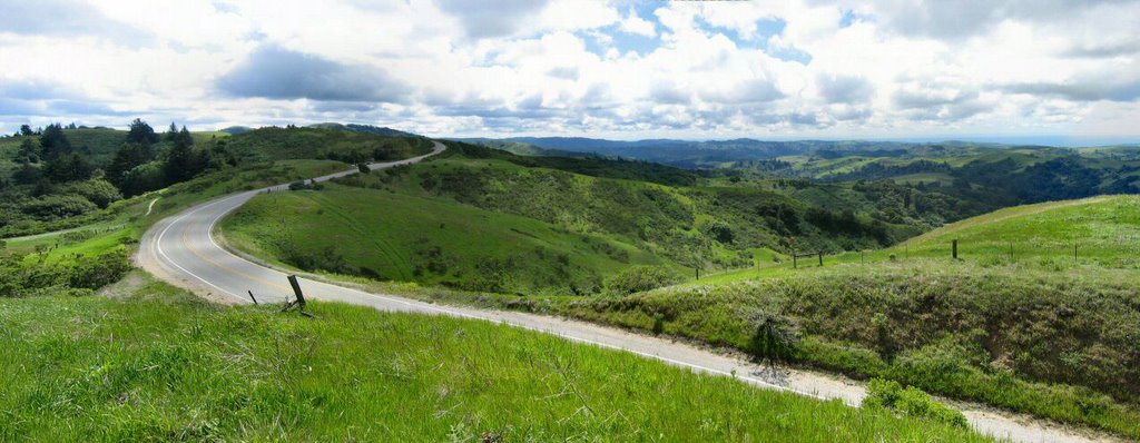
it is bliss on wheels.
I can hardly wait to visit this old friend again.

3 comments:
Hi Ogre,
Thank you for your comments on my blog.
>Just wanted to let you know I linked your story on my map page. I hope you don't mind that I deep linked a couple of your images.
Not a problem at all.
I am deeply honored.
>Also, a quick comment on your site. It is a bit confusing finding the Permalinks for your stories, they are link rather non-intuitively to the timestamp.
Yes, that's weird, isn't it? I wonder why google does that.
Happy Trails!
-ben
You should try to climb up Stevens Canyon Trail up to Black Mountain Summit, then back down the way you came. I really like that ride.
Hi Mark,
Yes, that's one of my regular rides. It is a really fun ride, with a mix of different trail conditions :-)
Happy trails,
-ben
Post a Comment