The sequel to Skyline Boulevard Ride (Part I). (To the uninitiated, Skyline Boulevard is analogous to Highway 35). The weather this week has been blesséd: it feels more like spring than winter. Click on the pictures for a larger view.
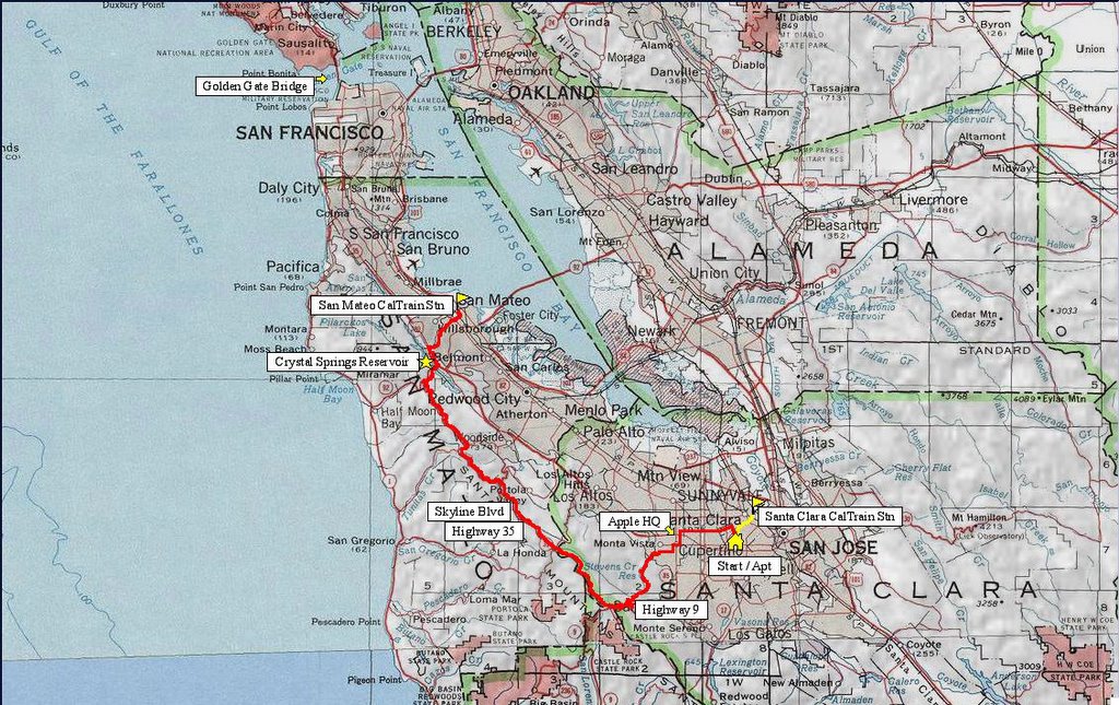
 Map of the ride. 250 track points (blue diamonds) laid by the GPS unit. For a clearer picture of the route without the track points, click here.
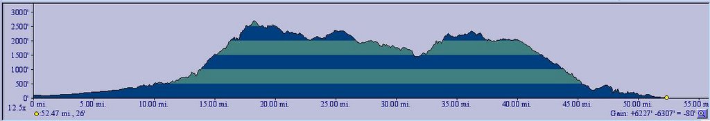 TOPO!'s elevation profile.
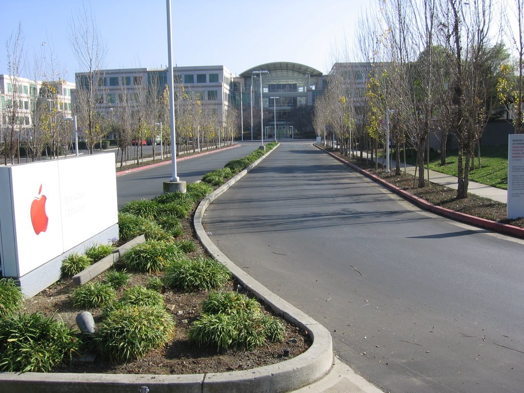 Took Homestead towards Cupertino. I just had to stop by to pay homage at Apple Headquarters, 1 Infinity Loop, along De Anza Boulevard. Only those who have visited this campus during the dark days of Apple (OS 7 - 8, the clones, Moof the dog, and the vaporware, Copland) can fully appreciate the change in the atmosphere today. It is a testimony to the adage that those who persevere will inevitably succeed.
 Trivia 1: even though the sign on the right explicitly states that the campus is closed to the public, there is a company store on the right side of the main building, where all sorts of Apple memorabilia can purchased.
Trivia 2: a giant 3-floor-tall poster of an iPod, visible from where I stand, hangs in the main atrium.
After that,
RIGHT at Stevens Creek Boulevard.
LEFT at Stelling Road, just before De Anza College.
RIGHT at McCellan Road. Pass Monte Vista High School and climb up the hill.
LEFT on Stevens Canyon Road.
Pass Stevens Creek Reservoir on your left.
Pass Montebello Road on your right.
RIGHT at stop sign (do not continue onto Mount Eden Road).
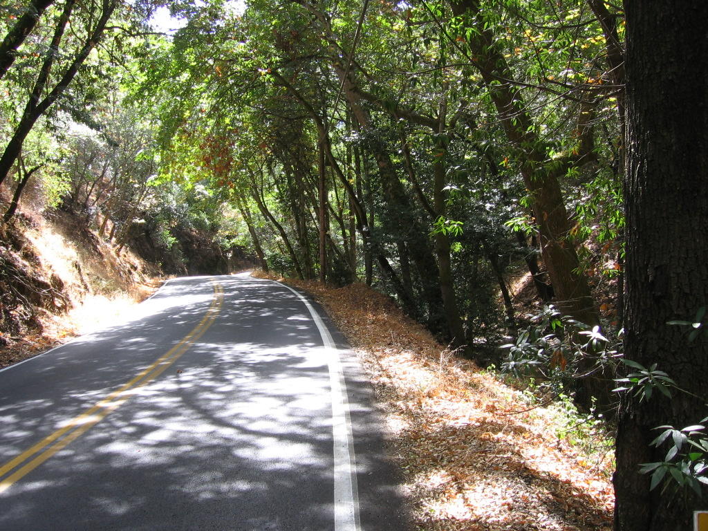
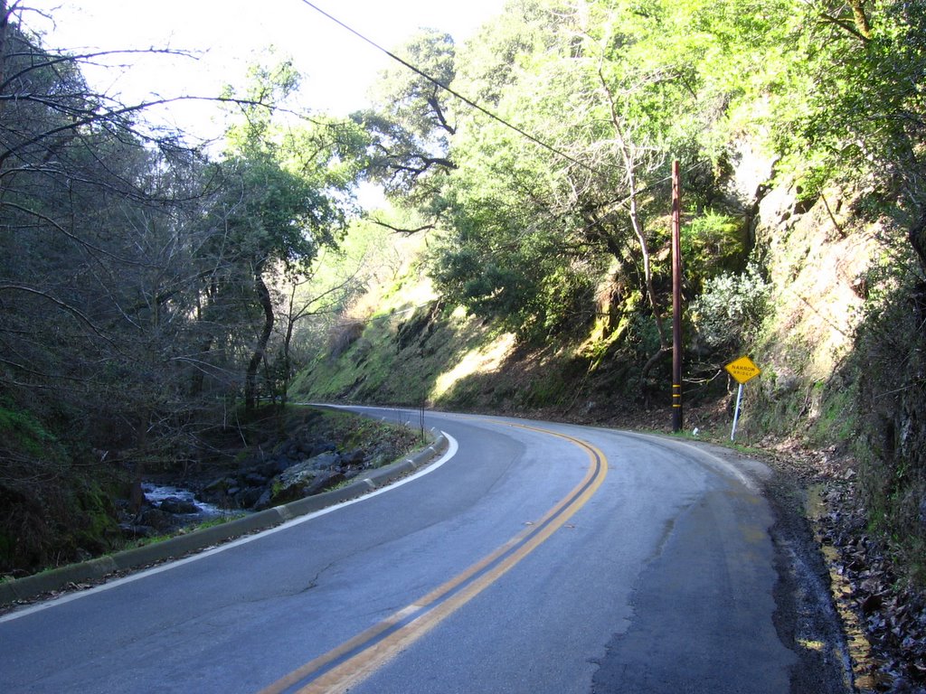 Taking a gentle climb up Stevens Canyon Road.
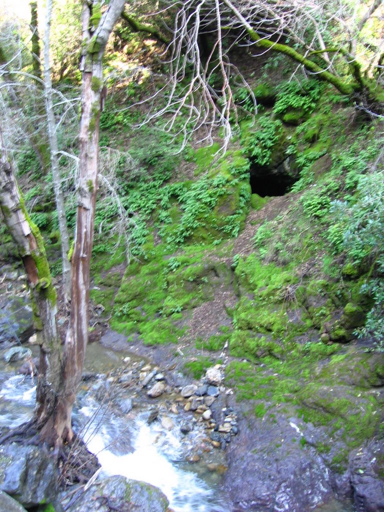 A cave by the side of the road, across Stevens Creek.
Location:
Elevation: 544 ft.
N 37 degrees 16.345 minutes
W 122 degrees 4.903 minutes
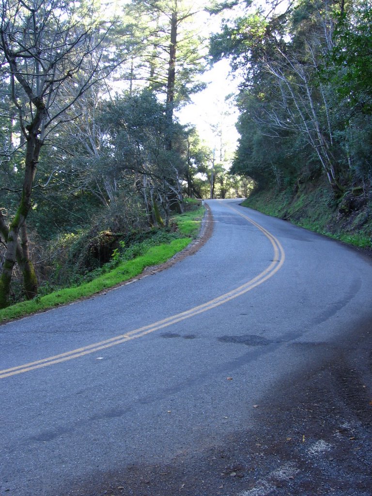
 Elevation 815 ft: to the left is the beginning of Redwood Gulch Road to Highway 9.
  The picture does not do justice to the grade of the road. It climbs 690 ft (210 m) in 1.35 miles (2.17 km).
  Map of Redwood Gulch Rd (highlighted in red). Lucas Pereira's description:
Redwood Gulch climbs from Stevens Canyon up to highway 9, mostly under the cover of tall redwoods and other trees. The initial 7% grades, gorgeous scenery, and low traffic may lull you into a serene peace, before the brutal 17+% grades wake you from your dreams.
I thought I had the answer to such grades -- a 30-tooth chainring. However, the hill countered with slick, wet pavement. With each pedal stroke, my rear tire would spin, while my bike barely inched forward. Apparently, the plentiful shade, dampness in winter, and low traffic volume combine to allow a thin layer of slick moss to grow on the road. I had to shift up a few gears to maintain traction. (Source)
I guess I was fortunate not to encounter any slick moss : )
 A long 1.35 miles.
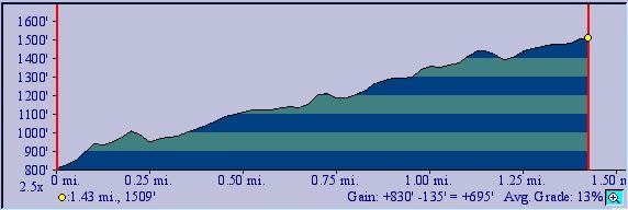 TOPO!'s estimate is 1.41 miles (2.26 km).
 Looking down after making the only tight left turn on Redwood Gulch Road.
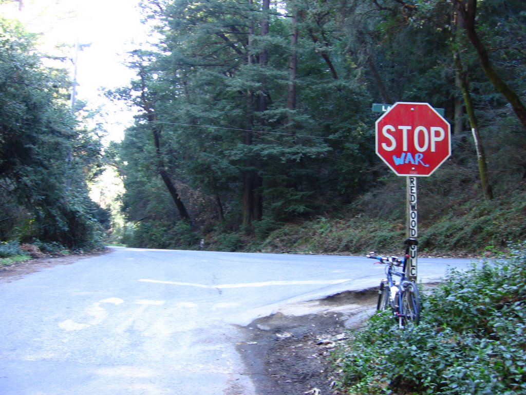 Elevation 1509 ft: the junction with Highway 9. Take a right here. The fun is not over yet, young padawan. Now you get to climb from 1509 feet to 2604 ft.
Rant: how does vandalizing a traffic sign (thereby garbling the message and endangering road users) further one's political agenda? *roll eyes*
 With lots of traffic, Highway 9 isn't particularly fun. A car slowed down to keep pace with me, asking for directions as I was huffing and puffing up the mountain. I tried to imagine it was my support vehicle, and I was riding in the Tour de France, and the vehicle was filled with skimpily-clad cheerleaders cheering me on...
It worked. Sorta.
(I made it, didn't I?)
Rah! Rah! Rah!
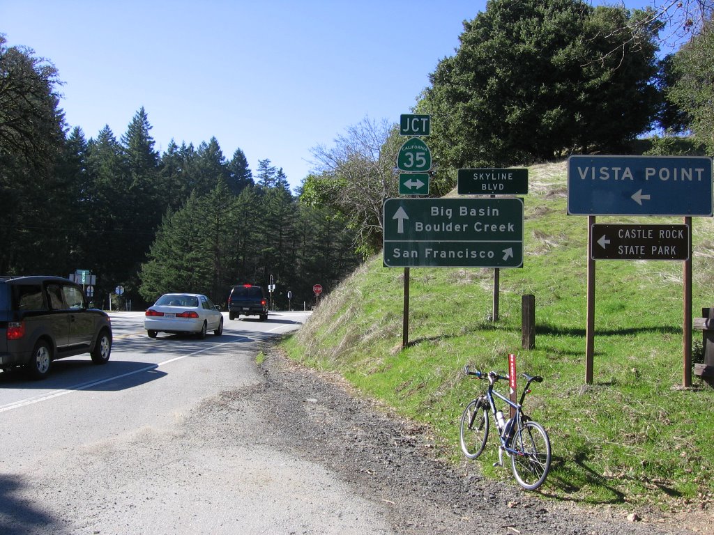
Elevation 2604 ft (793.9 m): the junction of Highway 9 and Highway 35 (Skyline Boulevard). Westbound Highway 9 is straight ahead. Left is southbound Highway 35, which eventually leads to the town of Los Gatos, or Highway 17. Right is northbound Highway 35, which eventually leads to Highway 92 and San Mateo. The Saratoga Gap trailhead and parking lot are located to the right.
Postscript:
The following week, another cyclist (ElHombre) climbed up here and took this picture of snow falling over the Santa Cruz Mountain Range:
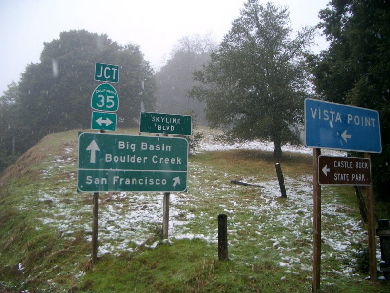
Me? I was cycling on the Diablo Mountain Range across the valley.
 Sudden Oak Death is a problem in this area. It is caused by the fungus-like pathogen, Phytophthora ramorum. The Boy Scouts of America worked with the county authorities to implement an experimental run of these brushes to reduce the number of spores spread by hiking boots and mountain bike tires leaving infected preserves. News release (PDF).
 Boot brush.
 Mountain bike tire brush.
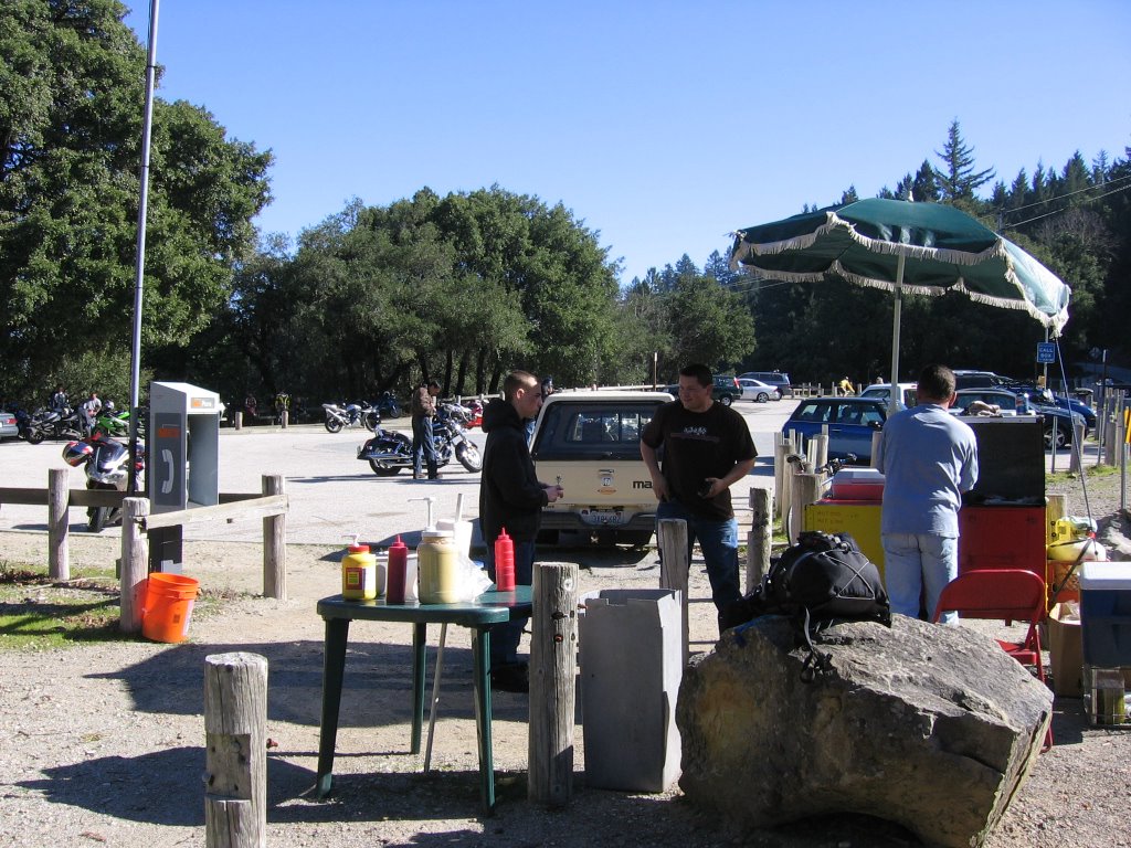 I wasn't looking forward to having another expired Cliff Bar for lunch again. Take it from me, do not buy 2 boxes of energy bars when they are 50% off. There is a reason why they are going for so cheap. Unless you can see yourself finishing 24 Cliff Bars within the next month, before they expire, it is not worth the savings.
 Hot dog guy saves the day! A nice polish hot dog for lunch. Heaven. The gentleman on the right was raving to his companion about his latest cell phone. Whatever.
In the parking lot are some of the motorbikes that were menacing me up Highway 9.
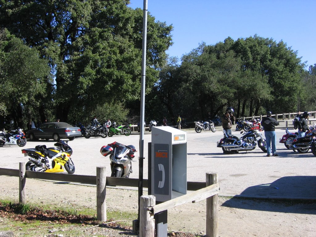 The motorcyclists will continue to buzz me along Skyline Boulevard until the Highway 84 junction. Oh joy.
 A series of swooping downhills await after lunch. I grinned so much I caught bugs in my teeth.
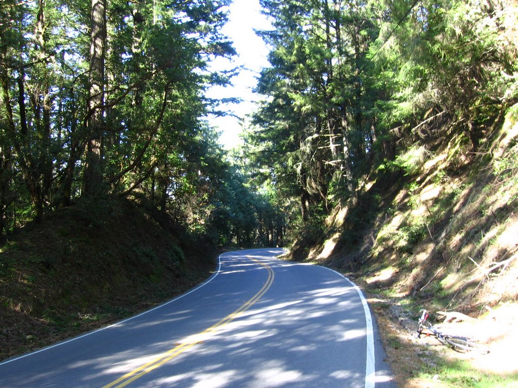 More fun coasting.
 The view after the Grizzly Flat trailhead (last encountered on my Turkey Day ride last year).
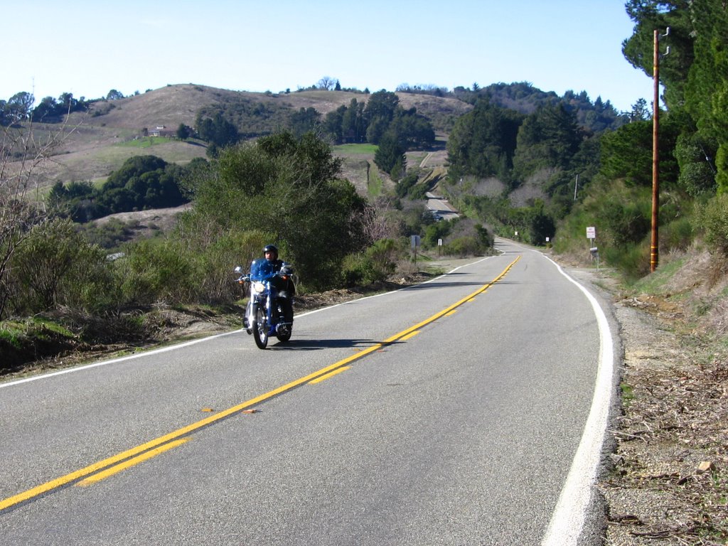 A gravity climb awaits at the bottom of this slope.
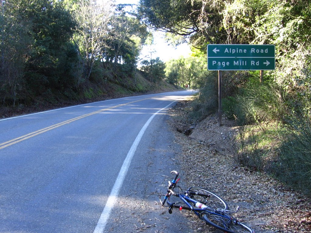 Elevation 2246 ft: the junction with Alpine Road and Page Mill Road. One of the beauties of this ride are the multiple bail-out exits one could take to Caltrain Stations in the valley. Page Mill Road descends to El Camino Real in Palo Alto. From there, it is 1 block north to the California Avenue CalTrain Station. As for Alpine Road, if you are already tired and looking for a bail-out, then perhaps it is the wrong time to consider it.
 25.2 miles (40.32 km) into my ride: picture this, I was humming along a particularly fun stretch at 34.1 mph (54.6 km/h) when this sign made me slam on the brakes. To use the most succinct acronym ever invented, WTF?
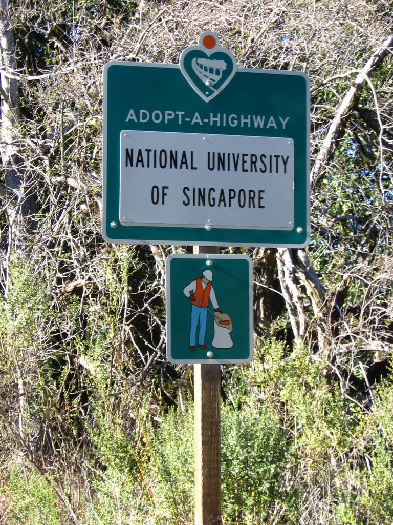 A closer look revealed that I was indeed not hallucinating. A reminder of Singapore--with a pictorial illustration of the Correctional Work Order (CWO), where litterbugs are forced to don fluorescent orange vests and pick up litter in public spaces--out here, at an elevation of 2340 ft (713.4 m), on a lonely highway. How quaint.
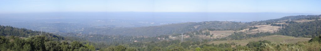 Elevation 2344 ft (714.6 m): 1/4 mile (400 m) after the odd sign is a vista point with a view of the sprawling Bay Area.
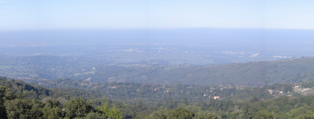 A closer view. Stanford University's Hoover Tower (elevation 77 ft) is in the center of the picture.
 Temperature is 69 F (20.6 C), too warm for my long-sleeve jersey. Thank goodness Sugoi designed a long zipper in front.
 The terrain on the west side, facing the Pacific Ocean, is a lot greener.
 Behind the ridges lies the ocean.
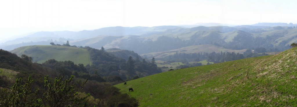 A closer view.
 Descending to the junction with Old La Honda.
 Elevation 1680 ft: Old La Honda junction, another possible bail-out option. Heading down on the right brings one to Portola Road. From there, take Sand Hill Road past Stanford Shopping Center to the Palo Alto CalTrain Station.
 After the Old La Honda junction is a brief climb into Sky Londa.
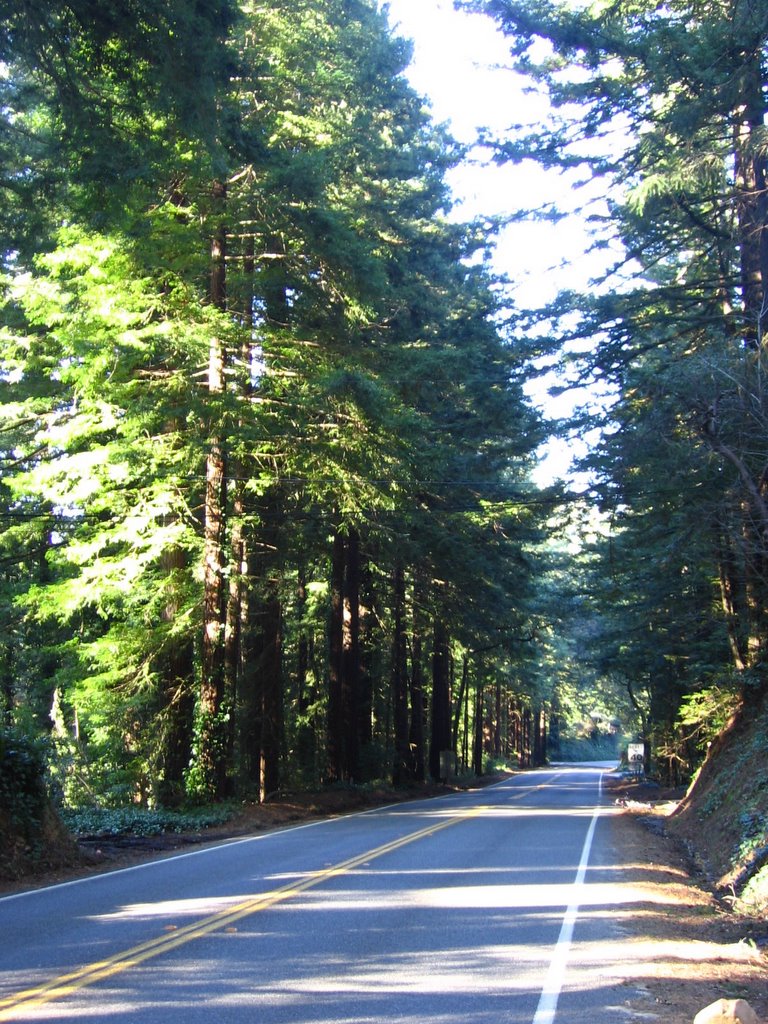 More sun-dappled happiness.
 Another view of this fun downhill.
 Junction with Highway 84 (westbound and eastbound descriptions).
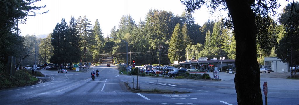 Elevation 1461 ft: Highway 84 and Highway 35 junction. A number of restaurants here cater to the motorbike and auto enthusiast crowd (the most famous among them being Alice's Restaurant). When I was active in the Toyota Supra club, we used to have dinner here after our drives.
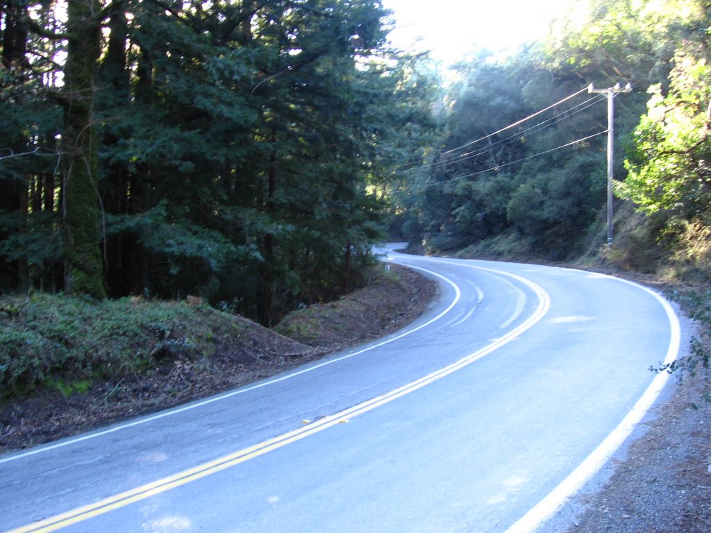 An 800 ft (244 m) climb awaits immediately after the junction.
 600 ft (183 m) into the ascent, a small waterfall by the side of the road serenaded my burning thighs.
Elevation 2003 ft (611 m): I did not stop to take a picture of the junction with Kings Mountain Road and Tunitas Creek Road. The junction was a gravity climb, which means I save significant effort if I didn't stop at the bottom.
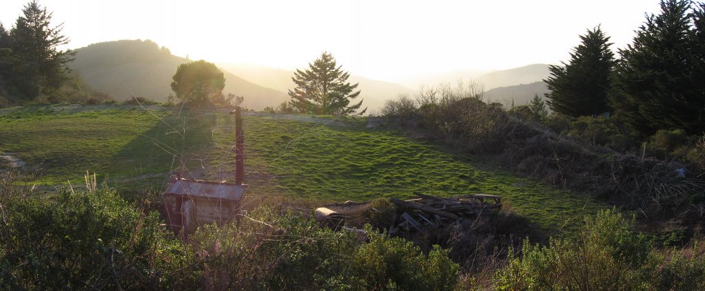 A yard facing the setting sun to the west. Imagine gardening or a sipping hot cider on a deck here every evening.
From here, it's all downhill until I drop to the same approximate level as the reservoir (304 ft / 93 m).
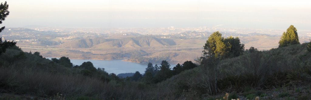 Elevation 1675 ft (510.7 m): Crystal Springs Reservoir, the gorgeous Highway 280, and San Mateo Bridge.
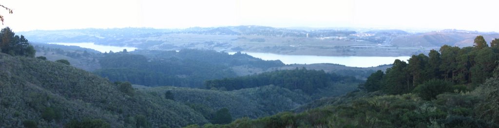 Elevation 1220 ft (372 m): another view of Crystal Springs Reservoir. Eastbound Highway 92 is on the right. Most of the water that is in the reservoir comes not from here, but from Yosemite's Hetch Hetchy Reservoir, more than 150 miles (240 km) to the east.
 This part of Skyline Boulevard / Highway 35 literally straddles the ridge down to the reservoir.
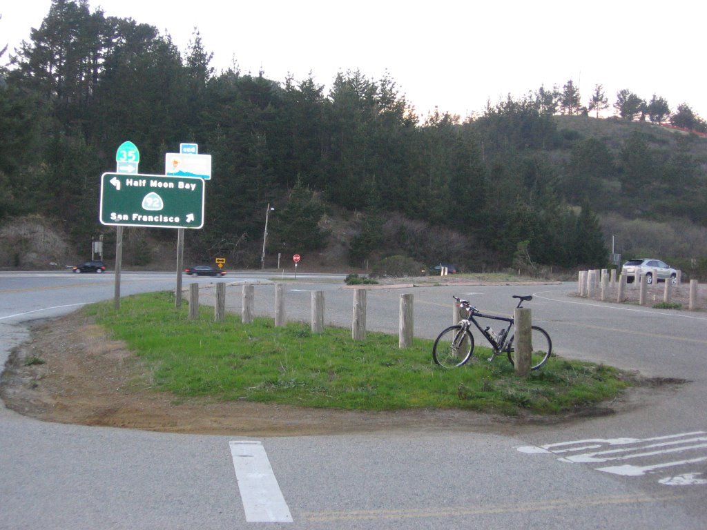 Elevation 851 ft (260 m): Highway 92 junction (eastbound and westbound descriptions). The sun has set; the temperature has cooled to 51 F (10.6 C), now my long-sleeve jersey and tights are perfect.
 Highway 35 merges with Highway 92 here for a couple miles, dropping about 500 ft (152 m) in elevation. This section is quite hairy. The shoulders are unreliable at best, appearing and disappearing at random. You are better off picking a consistent line so that drivers can predict your movement. Traffic is heavy. Not recommended for beginners.
Note: there is no pedestrian crossing button to press when Highway 35 makes a left after crossing the reservoir and before Highway 280. The left turn lane does not have sensors for bicycles either. Your best bet is to wait until vehicles stop to make a turn, thereby activating the sensors to stop cross traffic.
A short blurb:
This road is typically used to get from Canada Road to Skyline. The climb is nice with some worthwhile views, but the extremely heavy auto traffic ruins it for riders. Luckily, the wind often carries away the car exhaust, but nevertheless this road is best ridden only for its transportational utility. (Source)
 Highway 35 climbs for about a mile to Bunker Hill Drive and another entrance to Highway 280 (on the right) before descending.
 Part of Highway 35 goes over Crystal Springs Dam, which is on San Mateo Creek.
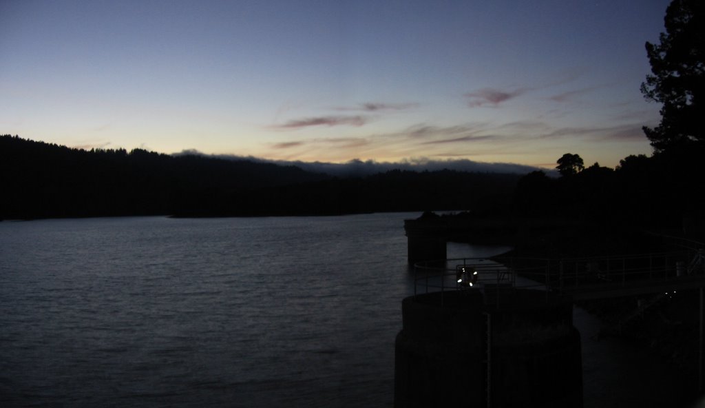 Crystal Springs Reservoir at dusk.
The Lake Isle of Innisfree
I will arise and go now, and go to Innisfree,
And a small cabin build there, of clay and wattles made;
Nine bean rows will I have there, a hive for the honeybee,
And live alone in the bee-loud glade.
And I shall have some peace there, for peace comes dropping slow,
Dropping from the veils of the morning to where the cricket sings;
There midnight's all a-glimmer, and noon a purple glow,
And evening full of the linnet's wings.
I will arise and go now, for always night and day
I hear the water lapping with low sounds by the shore;
While I stand on the roadway, or on the pavements gray,
I hear it in the deep heart's core.
(W. B. Yeats)
 Full moon over Highway 280.
 A file picture of the view during the day.
The junction after this is Crystal Springs Road.
RIGHT at the junction. Enjoy the downhill.
After a couple of miles, take a LEFT at the stop sign. I.e. follow Crystal Springs Road. Do not take Polhemus Road.
After a short climb, take a RIGHT on Franklin Street.
Franklin Street becomes West 5th Avenue.
Follow West 5th Avenue across El Camino Real, where it becomes East 5th Avenue. Lots of restaurants (and parked cars) here. Watch out. Don't get doored.
After two junctions, swing a LEFT onto B street.
After 4 junctions, make a RIGHT on Baldwin Street.
 Arrive at San Mateo CalTrain Station.
 A 54 minute, 26.8 mile (42.9 km) train ride back to Santa Clara CalTrain Station (and an easy 2-mile pedal back to the apartment).
Epilogue:
Total distance: cyclo-computer 55.2 miles (88.32 km) / GPS 55.75 miles (89.2 km) / TOPO! 54.47 miles (87.2 km).
Total elevation climbed: Altimeter 5510 ft (1680 m) / GPS + TOPO! 6227 ft (1898.5 m).
Temperature range: 51 F to 69 F (10.6 C to 20.6 C).
Fluids consumed: 1 liter of CytoMax, 0.5 liter of water, 0.33 liter of Hawaiian Punch (lunch).
Ride conducted solo.

5 comments:
It is a testimony to the adage that those who persevere will inevitably succeed.
A note to would-be stalkers.
THIS DOES NOT APPLY TO RELATIONSHIPS!
Well, you know the joke:
If you fail, try and try again--at least until the restraining order is issued.
: P
Thanks for dropping by.
You low elevation guys slay me! :)
Nice pics and write up. Kinda like to do it on my fixie.
Low elevation?
LOW ELEVATION?
Why you....
*grumble* *rant* *froth in mouth*
:D
Thanks for visiting : )
I won't dream of doing this ride in a fixie though.
That would be a messy and painful suicide.
Yes, we (a bunch of us on a study/internship programme in the valley) actually do go up there, donning the same fluorescent garb and armed with the same brooms! And every month! Almost. :P
I don't ride, but I love your posts...the sense of joy that comes with it. If only I had read all these when I was still there!
WriDe on!! :D
Post a Comment