Bolinas Ridge Fire Road in summer. Refer to the first ride report for more comprehensive trail directions.
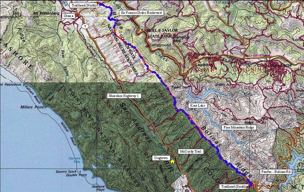 Map and route of Bolinas Ridge Trail. 250 track points laid by the GPS unit.
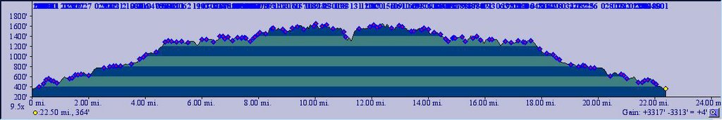 TOPO!'s elevation profile.
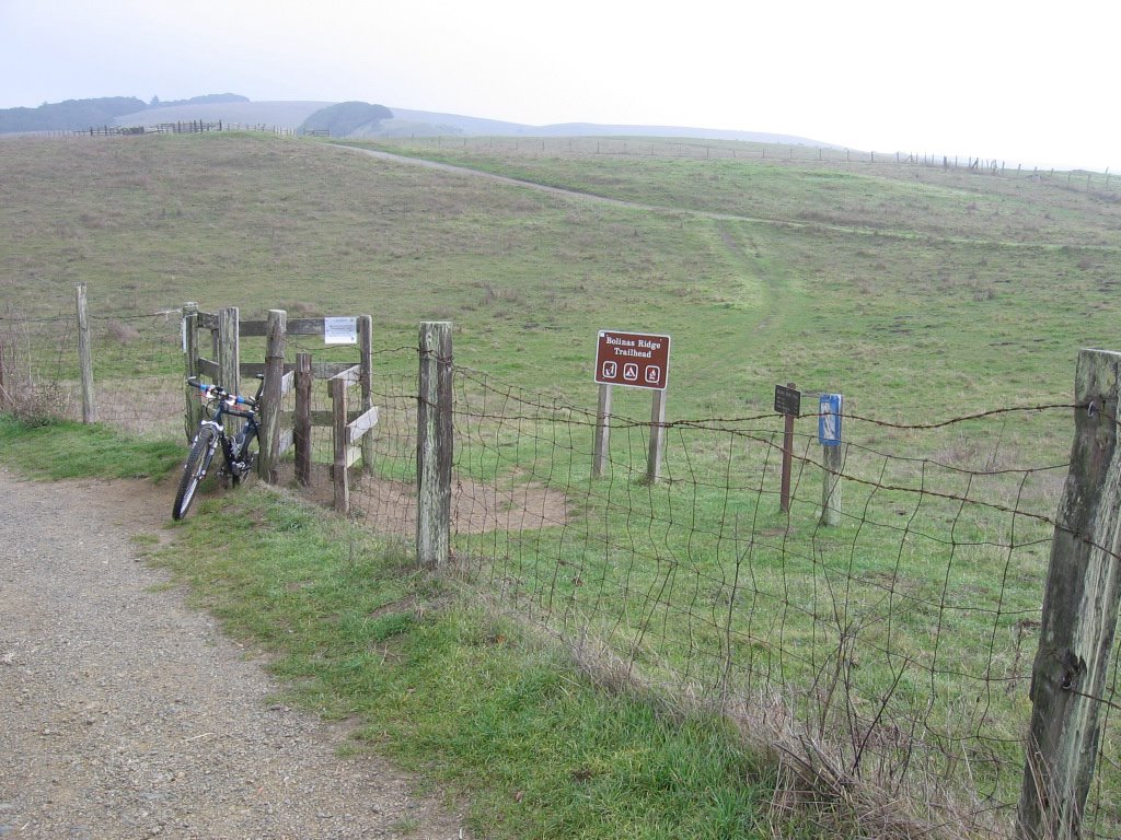
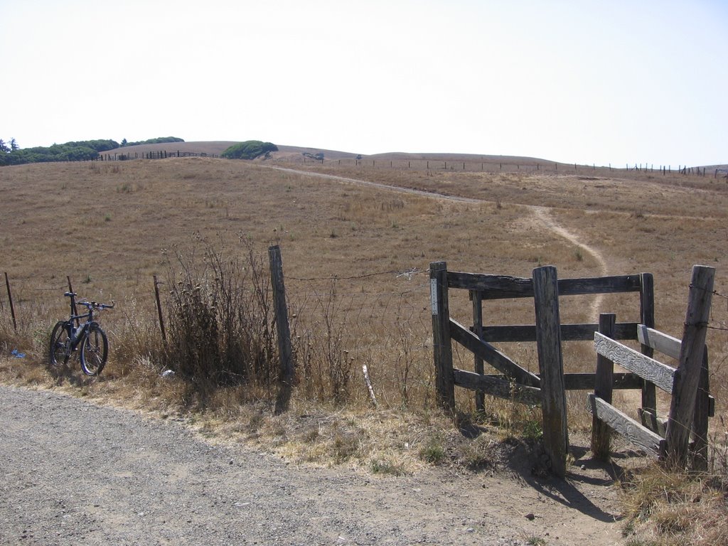 Trailhead by Sir Francis Drake Boulevard. Frankly, I prefer it when the grass is green in winter.
 The 1st climb.
 Looking back just before the 1st cattle gate. Mount Vision to the left. The body of water is Tomales Bay.
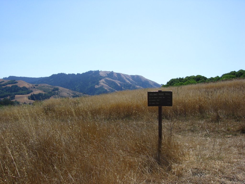 First posted sign: follow the main trail uphill to the right. I think the peak ahead is Mount Barnabe (1466 ft) in Samuel Taylor State Park.
 2nd climb.
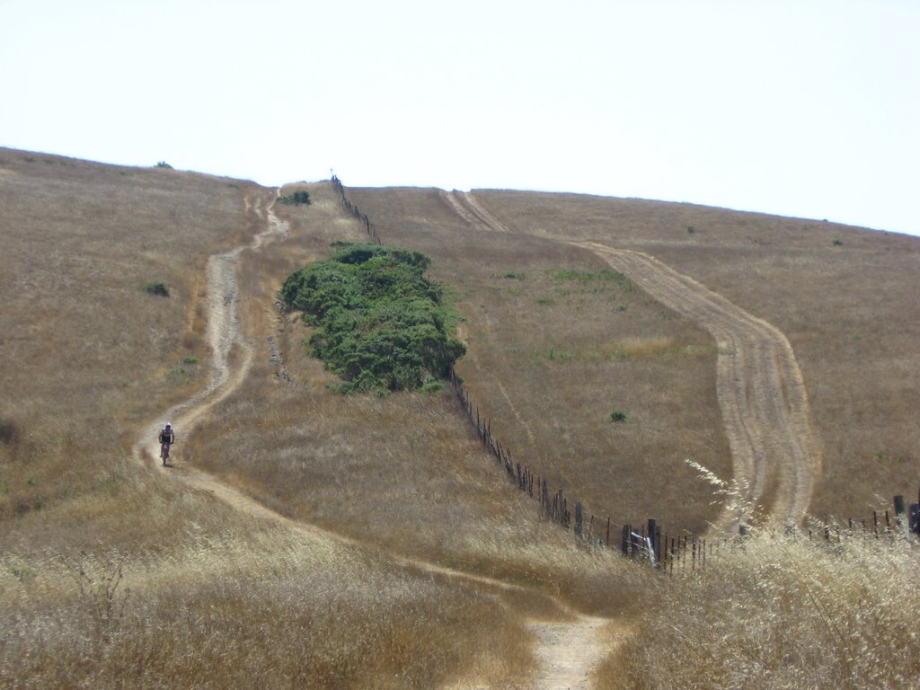 A rider on his way down.
 2nd cattle gate.
 Elevation 1080 ft. Looking back.
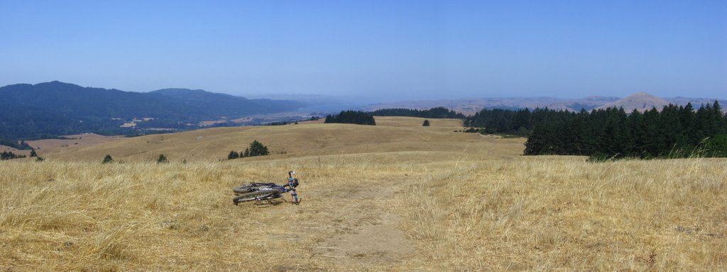 Wider view.
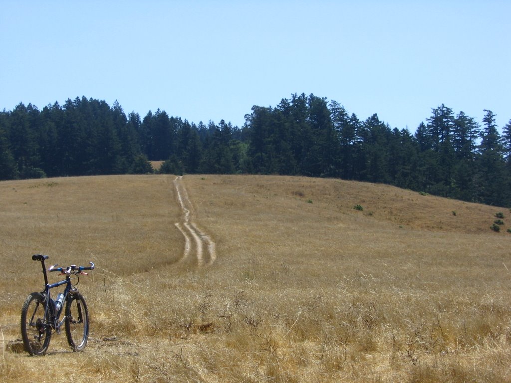 Just before entering the forest. Met another biker here, Jeff. We rode together until the end of the trail from here.
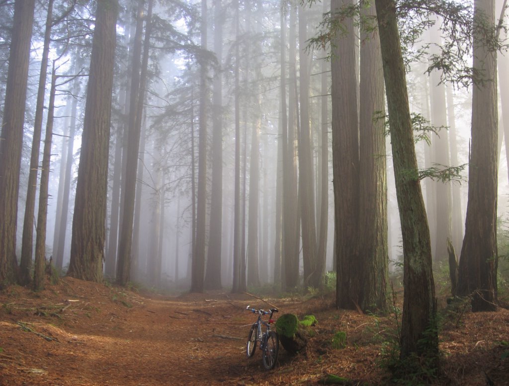
 Amid the redwoods. What it looks like when there's fog.
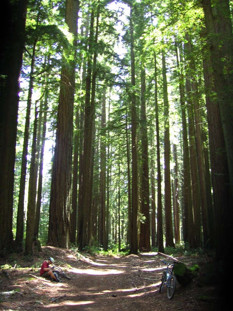 Taking a break.
 Leaving the forest. Here's Jeff.
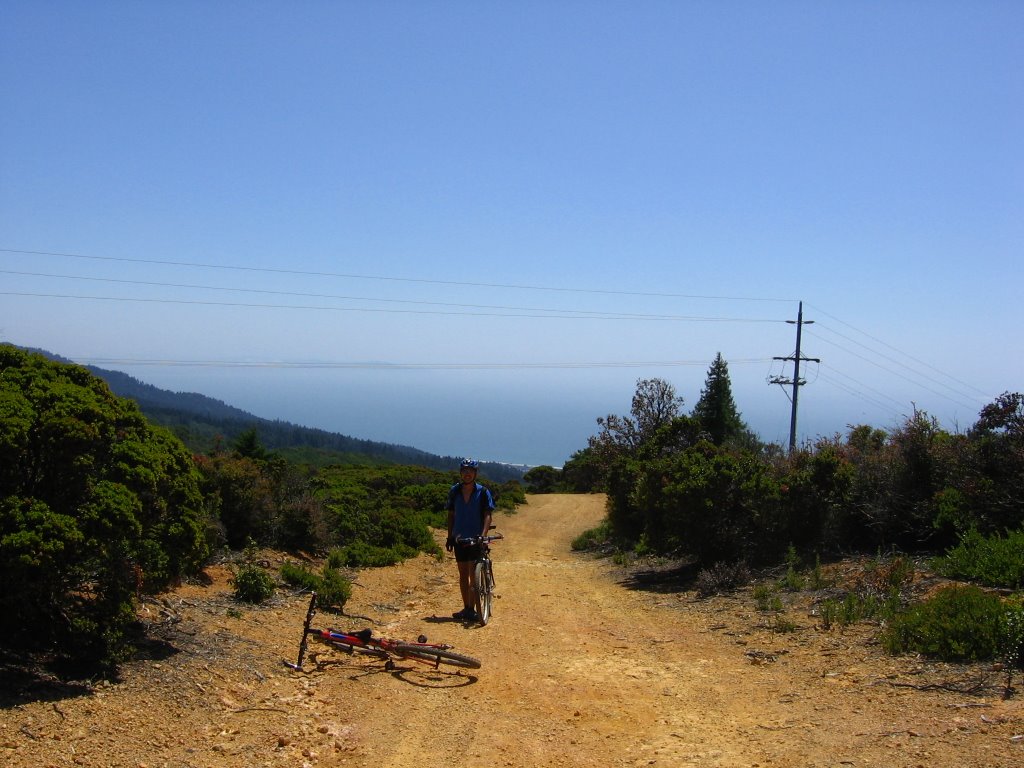 Moi.
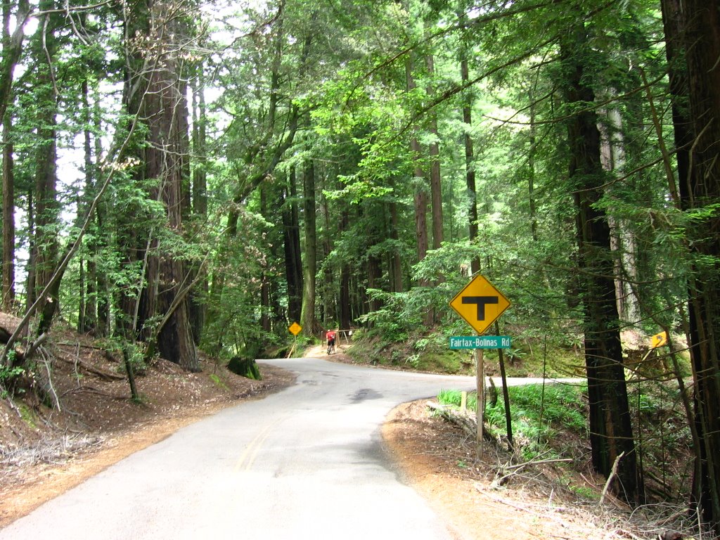
Moi.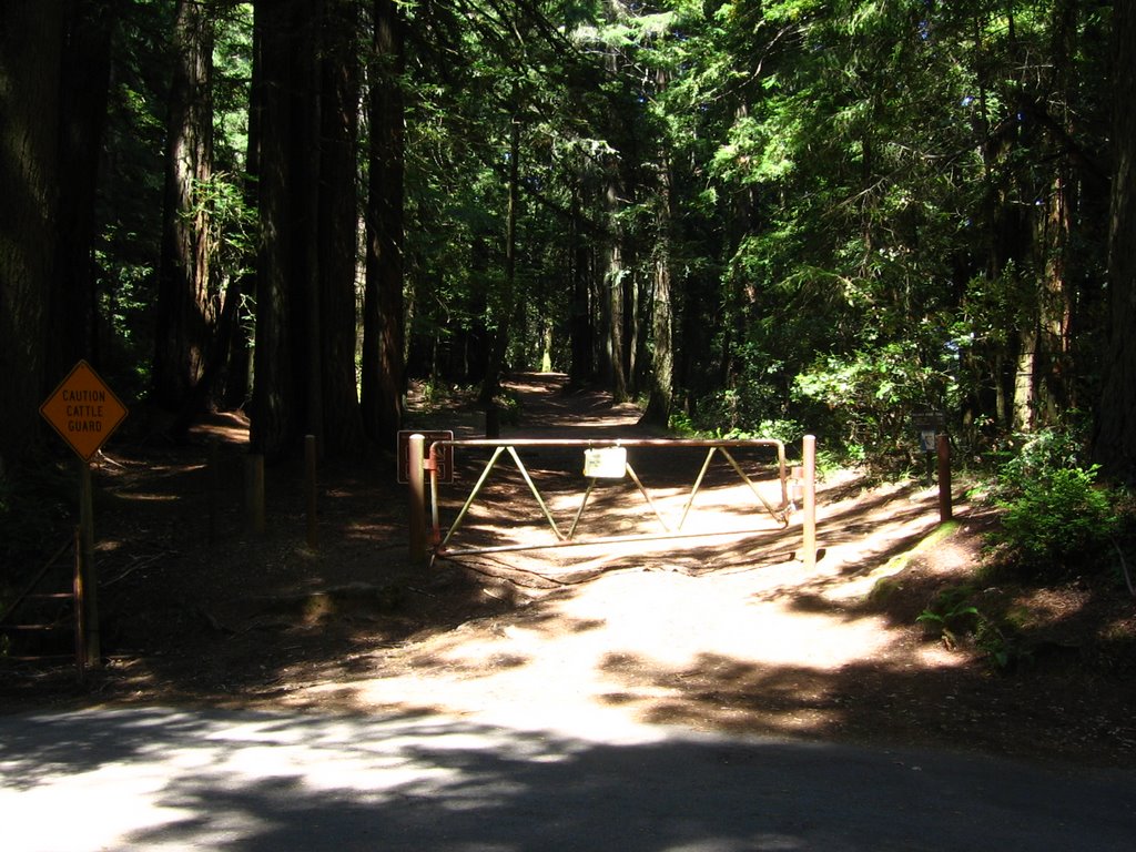 Elevation 1500 ft. Southern trailhead of Bolinas Fire Road. It intersects Bolinas - Fairfax Road at its highest point. The northern end of West Ridgecrest Boulevard also accesses this trailhead.
Here, we parted ways: Jeff had a long way to ride back to his vehicle at Azalea Hill parking lot, while I am to double back the way I came.
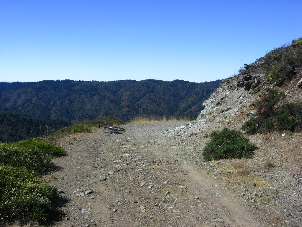
 Elevation 1604 ft. Looking west at Bolinas, Bolinas Lagoon, and the Pacific Ocean.
 Pine Mountain Ridge. In the canyon between the two ridges (I'm standing on Bolinas Ridge) lies Kent Lake.
 Closer view. What Bolinas Ridge looks like from Frisbee Knoll.
 Close up of Pine Mountain. A view of Bolinas Ridge from the top of Pine Mountain.
 Back in the forest.
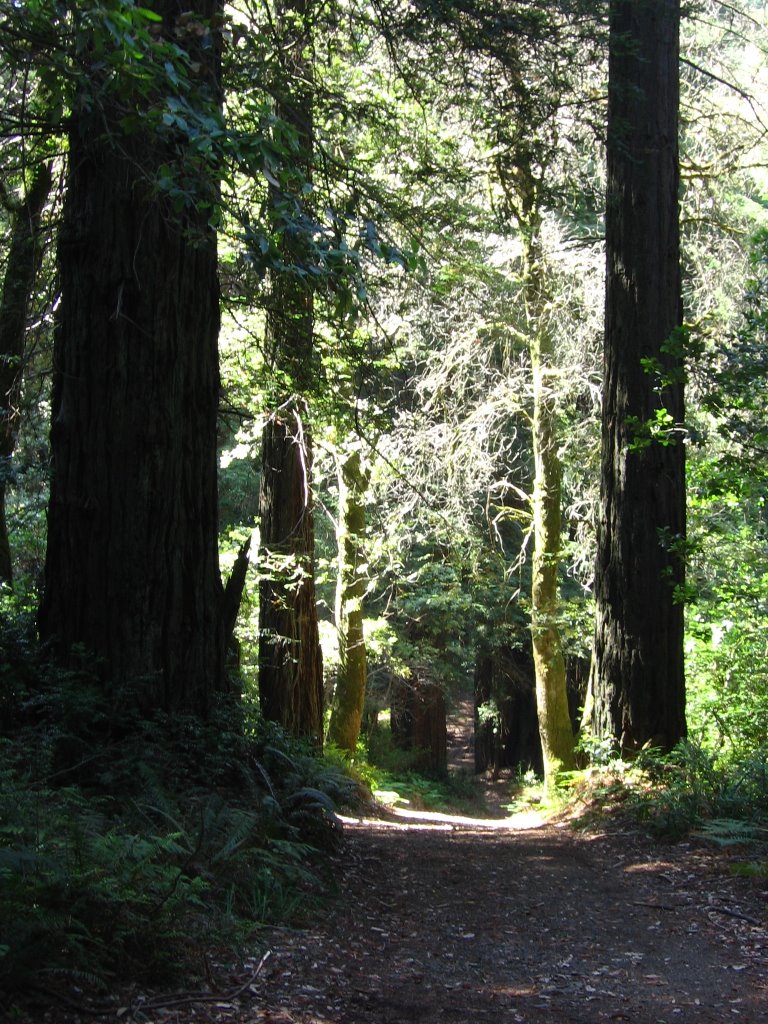 The climbs that tormented earlier now become fun descents, with roots serving as launching pads.
 A trio of hikers were walking their Great Dane puppies in the forest. Both dogs are only 9.5 months old. They do not reach their full size until they reach 2 years of age. I just love dogs :-)
 Leaving the forest.
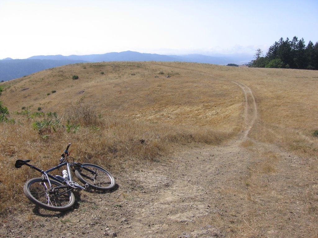 Back on open grassland.
 The cows have been let out to pasture.
 Closer look.
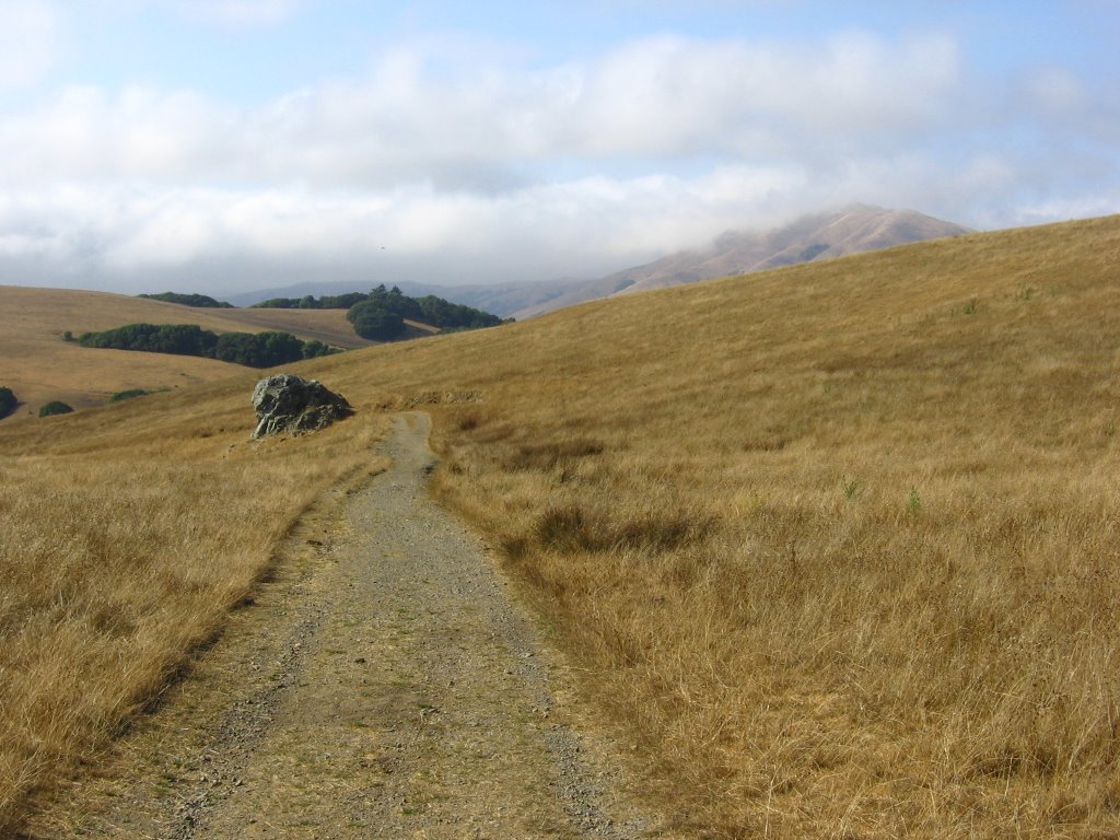 Continuing the descent. The peak to the right is Black Mountain (1280 ft).
 A wider view.
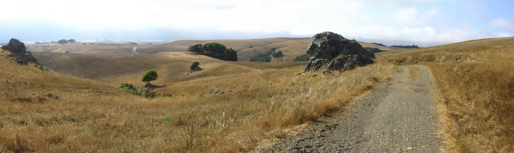 Final descent towards Sir Francis Drake Boulevard (left of the middle).
Before this, I had a spectacular crash on the way down. I was pursuing another biker when my front wheel went into a hole. The guy in front of me, having 100mm of travel in front, and 80mm in the rear, barely made it. My vintage bike, with 63mm of travel in front, didn't have a prayer. The next thing I knew, I was vaulted over the front handlebars as my bike performed an endo. There wasn't even enough time to touch my brakes or unclip from my pedals. I only had time to instinctively retract my arms to my body.
It was strange. The first couple of thoughts I had after impact were:
1.) My medical insurance deductible is US$5000.
2.) I don't have helivac (helicopter evacuation) insurance. Check out francois' cool pictures of his helivac experience.
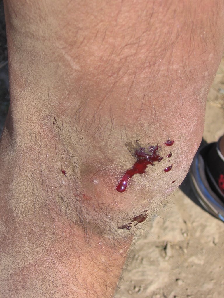 The outside of my right knee took the brunt of the impact. Check out the contusion where the blood is flowing down. It eventually grew to the size of a golf ball. This is yet another reason why you pack painkillers in your first aid kit, young padawan.
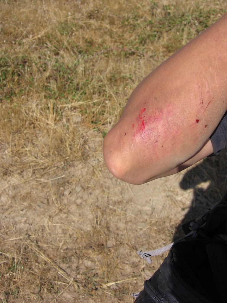 Right elbow.
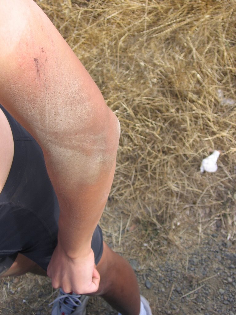 Small scruff on my left arm. I still have no idea how I could have scrapped this side on my body as all my other injuries are on my right side. I do not remember tumbling.
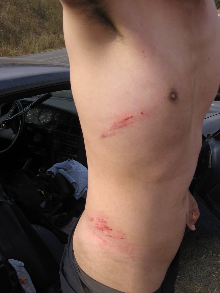 Under my jersey, bruised ribs. Under my cycling shorts, bruised hip. Still, I think I got off lightly for hitting the ground at 28.1 mph (45 km/h).
Note to self: when riding a hardtail, do not chase a guy on a full-suspension bike down the mountain :-P
Epilogue:
Total distance: cyclo-computer 22.5 miles (36 km) / GPS 22.45 miles (35.92 km) / TOPO! 22.50 miles (36 km).
Total elevation climbed: Altimeter 3300 ft (1006 m) / GPS + TOPO! 3317 ft (1011.28 m).
Temperature range: 68 F to 78 F (20 C to 25.6 C).
Fluids consumed: 56 fl. oz. of Gatorade, 20 fl. oz of water.

2 comments:
See, that's what I'm talking about. Aside from the blood, those are great photos! You have some that I'd like to use for my pictures of the week. Have you considered selling them? Very artistic and lovely. My father is an artist and I have his eye for spotting beauty. I'm assuming you take these photos... great job!
Thanks, Amy,
Yes, apart from the picture of me with the bikes, and with the dogs, the rest are taken by me. Glad you like them. Oh, I never considered going commercial with them as I only use a compact camera (maybe if I get round to lugging a SLR around someday), but feel free to use them :)
Post a Comment