A handful of pictures from a ride with Ivy on a drizzly Friday.
 Map of the trail. No GPS tracks this time as I believe TOPO!'s products do not include Singapore. Total distance including riding up to Chestnut Avenue from Dairy Farm Road is 8.4 miles (13.4 km). The loop is small enough such that intermediate riders and above can leave their water bottles at home (you would have completed the loop before you feel thirsty). The section between the visitor center and Dairy Farm Quarry (Echo Valley) is not recommended for beginners.
 The highest point of Belukar Track (trail between Chestnut Avenue and Rifle Range Road). W.r.t. the sign, it's about time the authorities stop mollycoddling the populace.
 The water pipeline between Rifle Range Road and Chestnut Avenue. To the left, partly shaded by the trees is Belukar Track. The trail on the right predates Belukar Track and is now used primarily by trail runners and hikers. Many years ago, my younger brother broke the radius and ulnar in his left arm when he hit the second water bar at speed.
 One of my favorite parts of Lasia Track: a bubbling brook and the sweet, heady fragrance of jasmine flowers (long abandoned by the original owners).
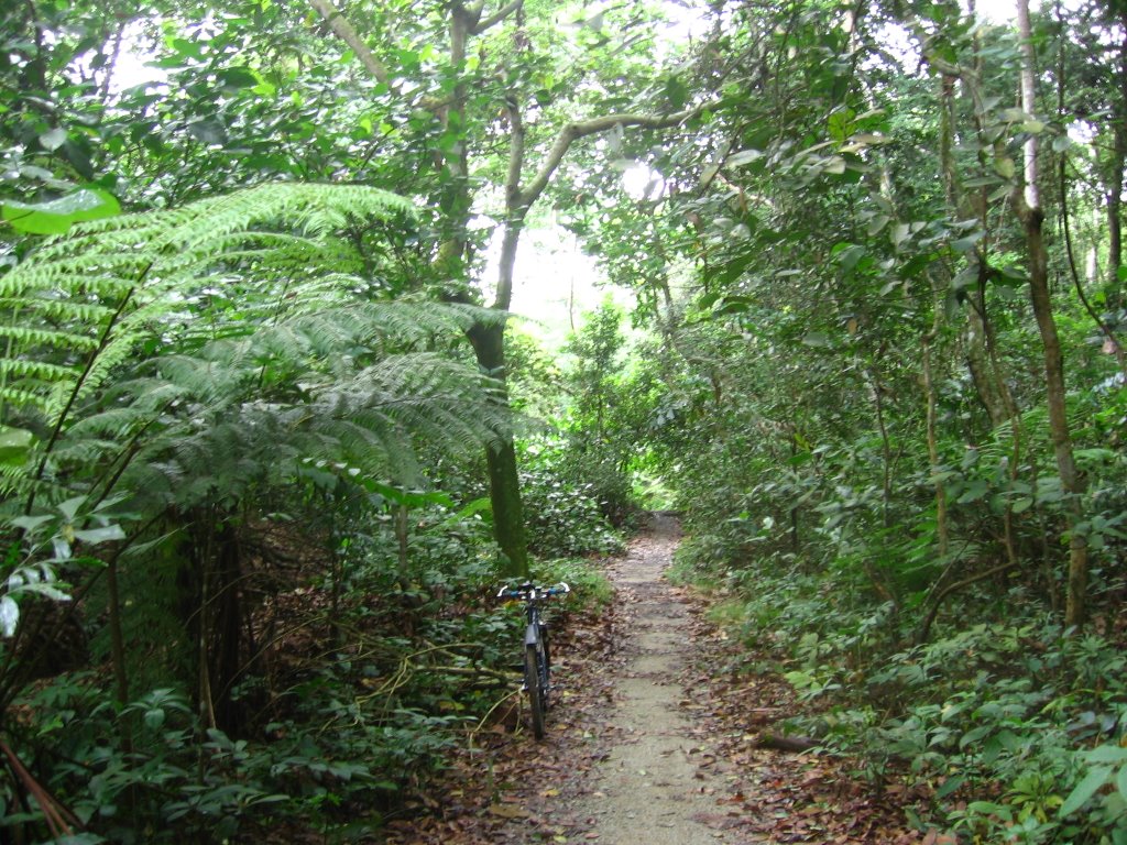 One of the perks of riding on a wet day is that you are likely to have the entire trail to yourself. There are precious few places in Singapore to enjoy a measure of solitude such as this.
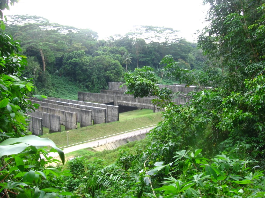 Surely a familiar sight to the local males: a rifle range visible from Senapang Road.
 A wider view.
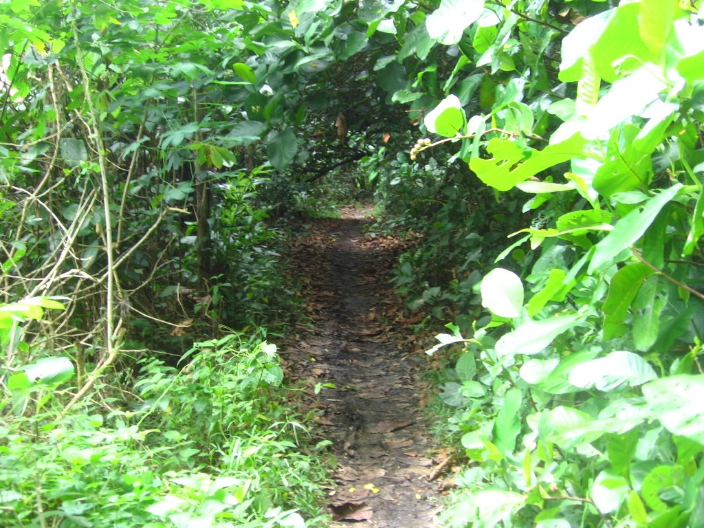 Overhanging branches form a tunnel (much like the poison ivy at the Miwok Trailhead in the Marin Headlands).
 Long-tailed Macaque monkeys by Rifle Range Road.
 Across the road is the entrance to Kampong Trail, which leads to MacRitchie Reservoir. The sign (with the oddly reversed drop bars) can be interpreted as, "No road bikes," you thunk? On the right is the entrance to the abandoned Sin Seng Quarry.
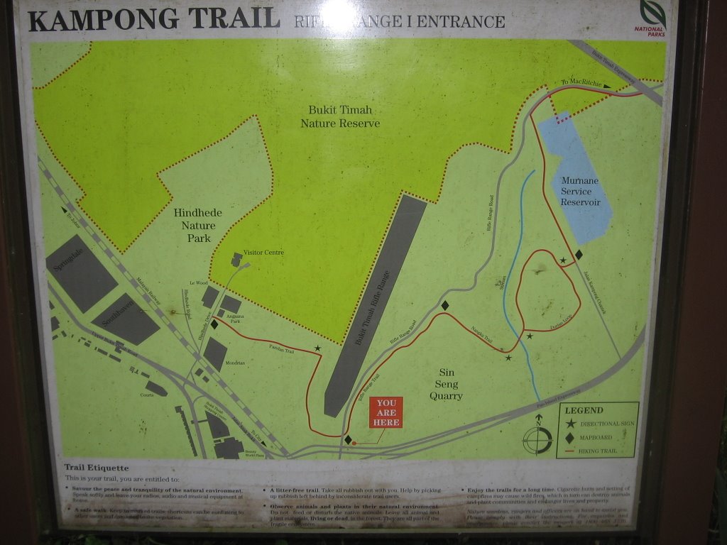 Map of Kampong Trail.
 What's in the drain beside the entrance (this despite the presence of a litter bin). Sigh.
"Do not accept bananas from monkeys." :-P
 A map of the nature reserve at the visitor center.
 Giant yams by the trail.
A solitary trail runner briefly intrudes upon my reverie.
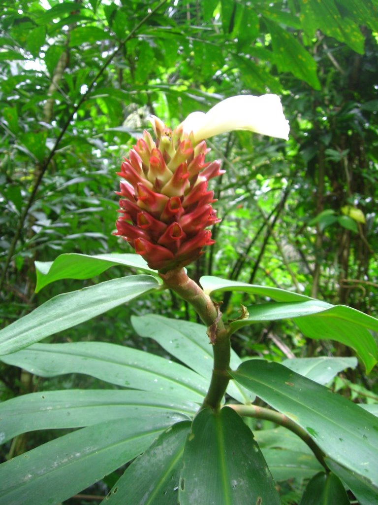
A flower by the trail.
The wet, clayey soil made me glad I made the transition from Shimano SPDs to Crank Brothers Eggbeaters.
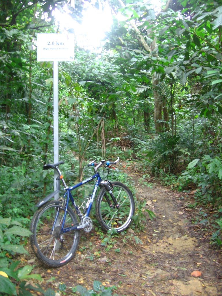
 Signs by the Boy Scouts of America, erected at regular intervals, inform riders of trail conditions.
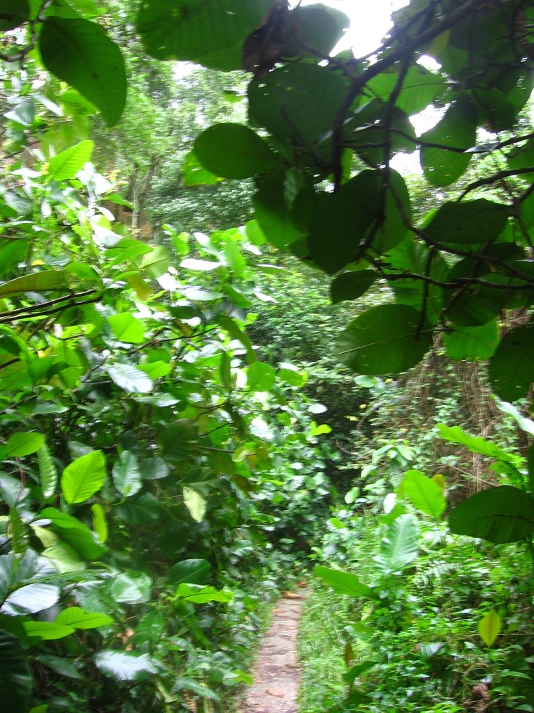
After cutting across Echo Valley, the trail goes through Dairy Farm Pass.

On the left of the trail are more climbing routes. This is one place I used to hang out on lazy weekend afternoons.
 Another view.
From here the trail rejoins Belukar Track between Chestnut Avenue and Rifle Range Road. All the climbs here are brief affairs, quite a change from the long, gnarly grinds typical in the greater San Francisco Bay Area. Descents are equally short.

No comments:
Post a Comment