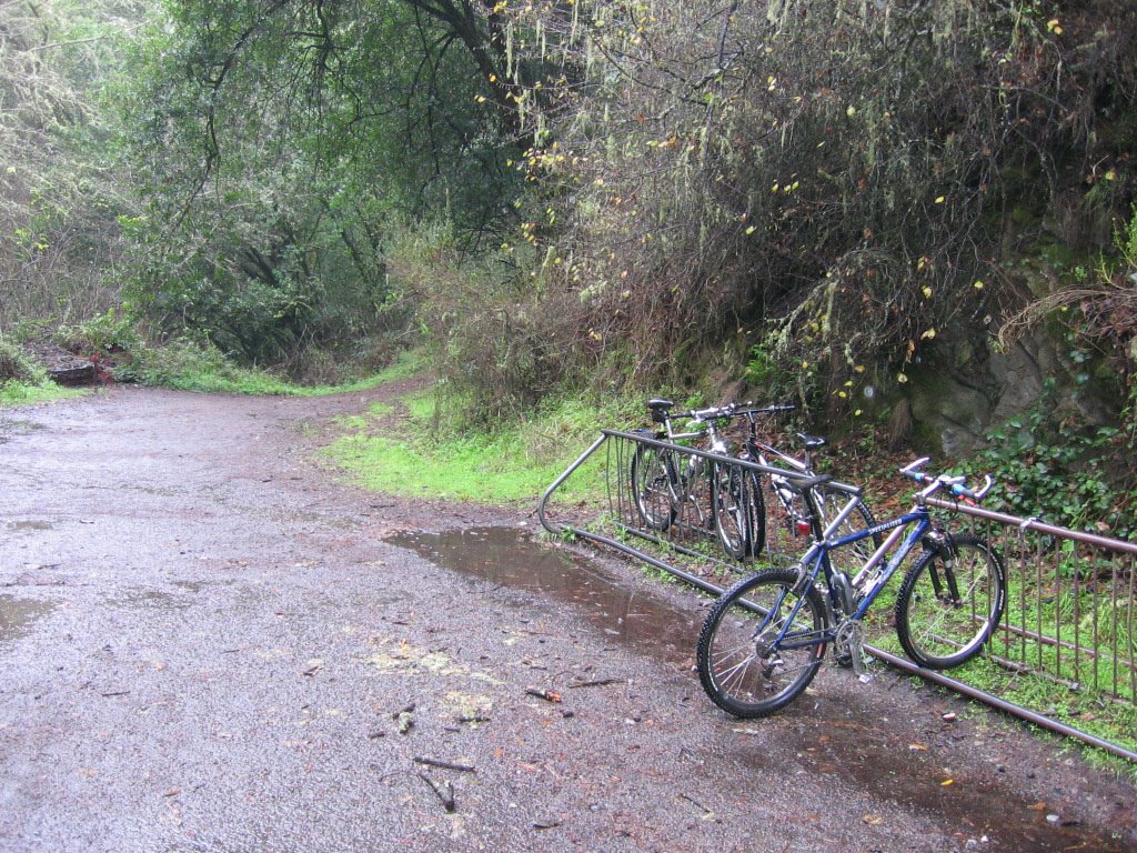
Having done the reconnaissance work previously, I was ready to attempt this ride. Skyline Boulevard is also known as Highway 35. As daylight hours are shorter in winter, the ride had to be broken into two. Click on the pictures for a larger view.
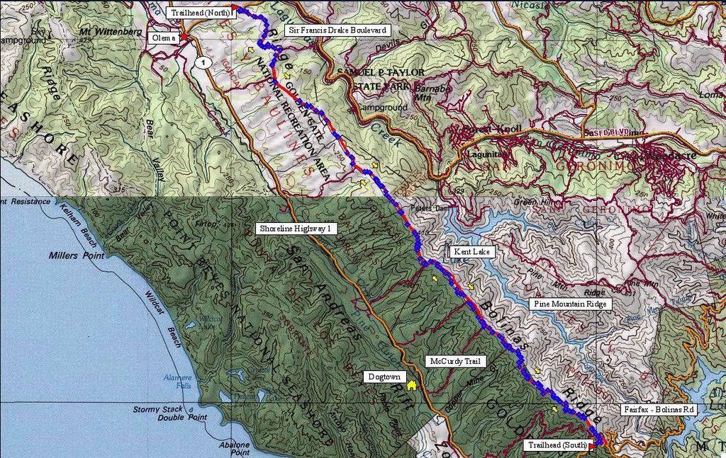
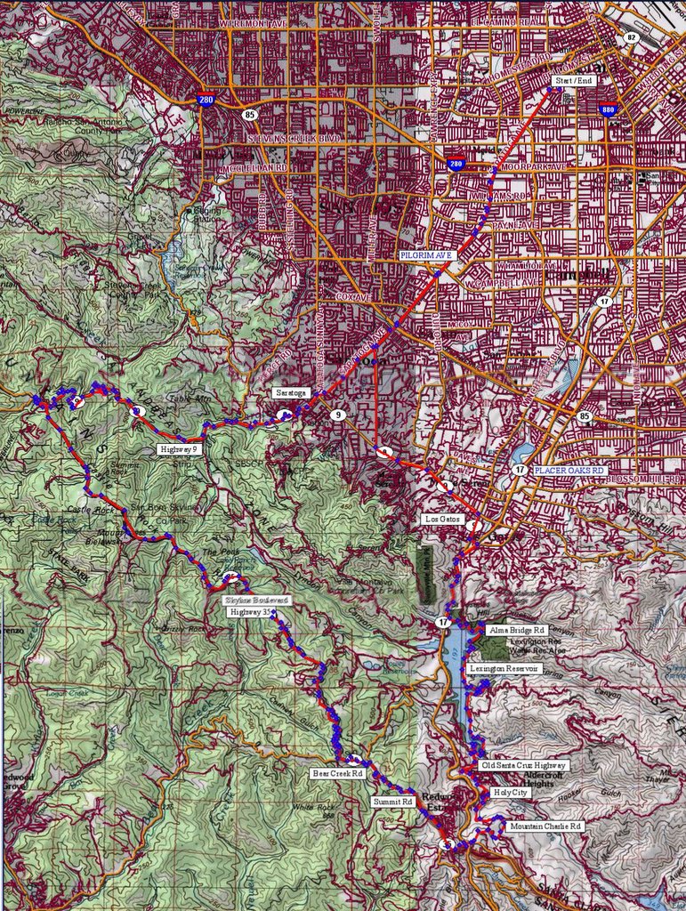 Map of the route. A substantial portion of the ride (minus the mountains) duplicates that of the Lexington reservoir ride. 250 track points laid by the GPS unit.
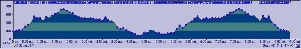
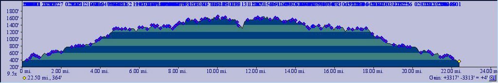
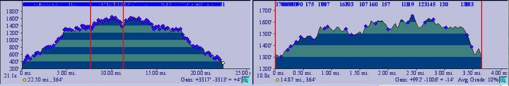
 TOPO!'s elevation profile.
 A nice orchard on Fruitvale Rd, just before downtown Saratoga. Skyline Boulevard meanders on top of the ridge in the background.
Los Gatos Creek Trail hasn't fully dried out yet from the recent rains, and so it was muddier than usual. That made me decide against taking the singletrack shortcut I discovered on my recon ride. The water level of Lexington Reservoir didn't look much higher. The ride along Alma Bridge Road was uneventful.
Elevation 700 ft: a young lady in a spanking new Nissan 350Z nearly ran me over as she skidded round a corner coming down Aldercroft Heights Road (I literally had to swerve off the road, on to the grass and mud on the soft shoulder). She apologized profusely, but it was quite a while before I snapped out of the "deer caught in headlights" mode. Talk about getting your heart rate up.
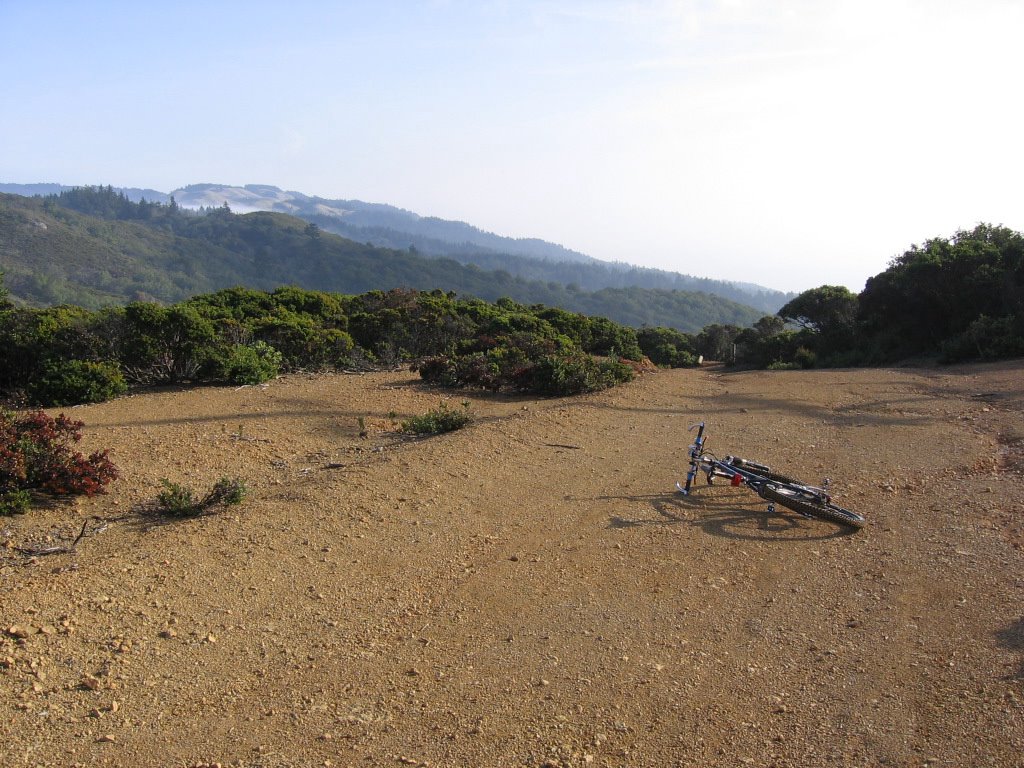
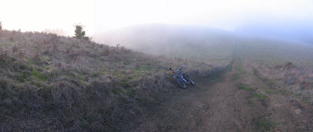
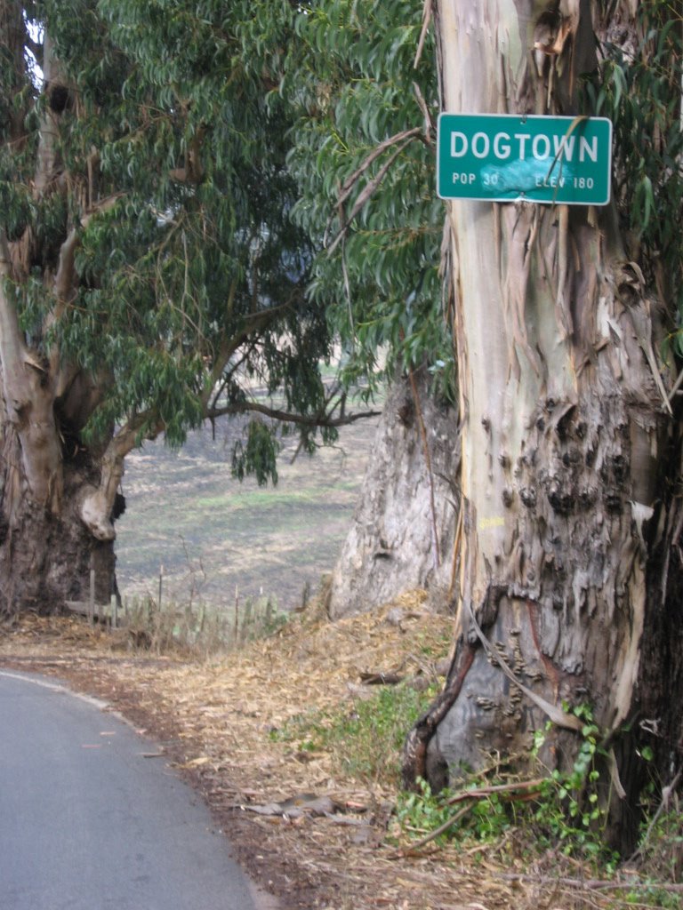
 530 feet (161.56 m) of climbing later: Holy City, elevation 1230 ft (375 m). Holy City was one of the many towns that sprang up beside Old Santa Cruz Highway, a road that runs between the rest of the valley and Santa Cruz. When Highway 17 opened, the volume of traffic passing through plummeted, businesses closed down or moved away, and towns like Holy City became ghost towns. There is an unusual story behind Holy City's founding and decline.
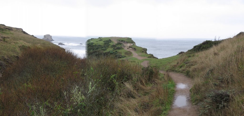
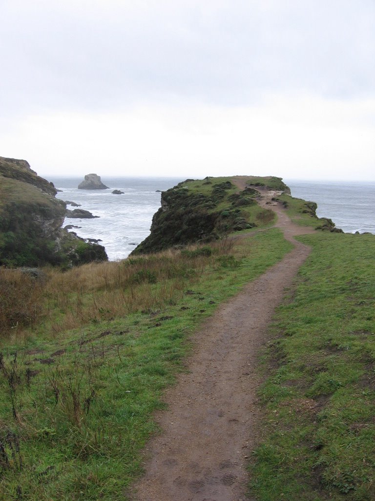
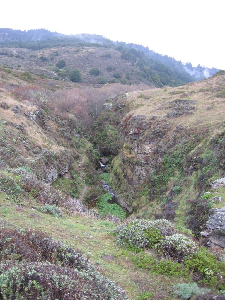
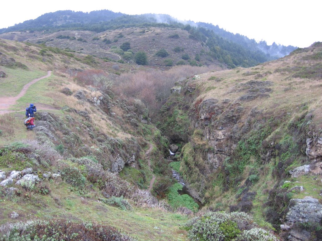
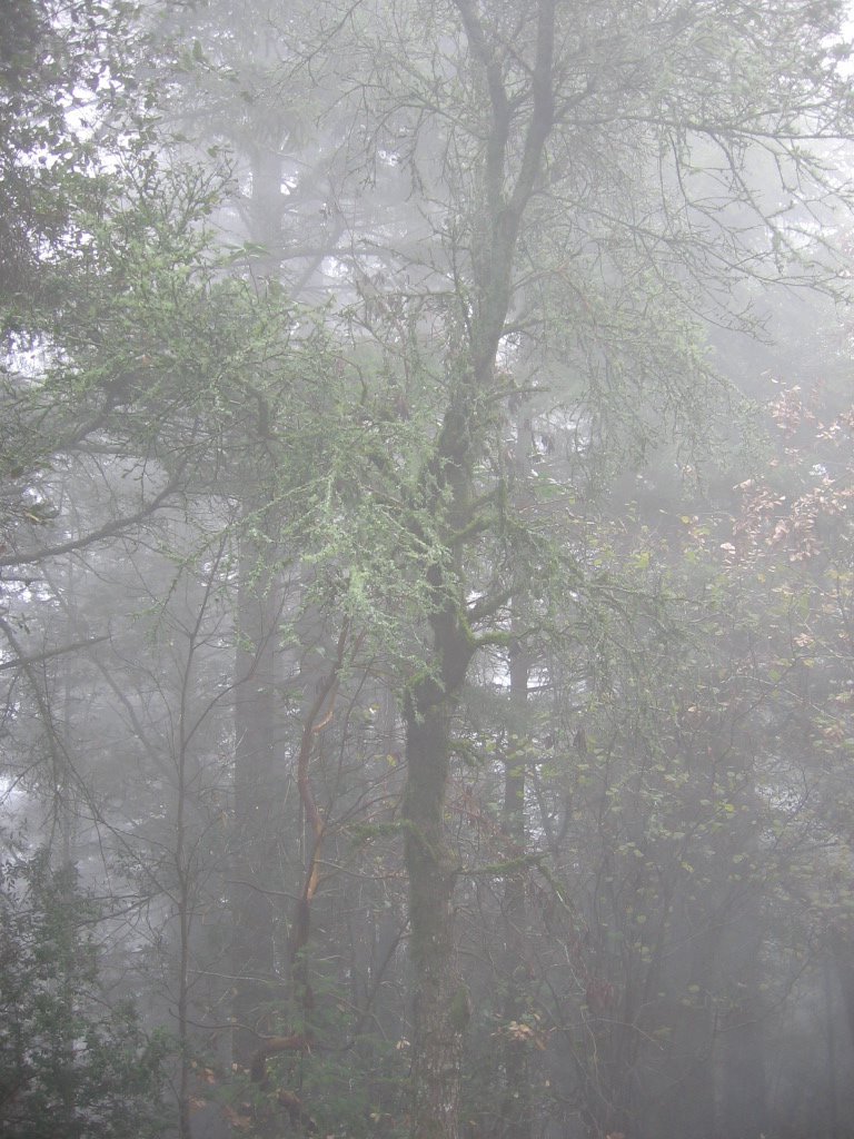
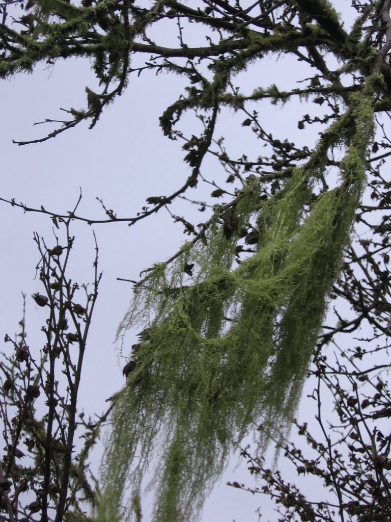
 What little remains of Holy City today. Found a forgotten waterfall near here.
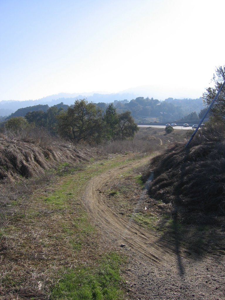
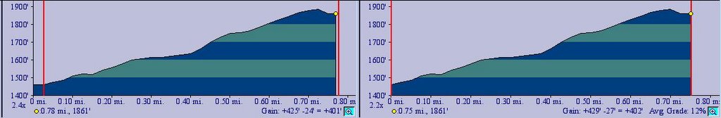
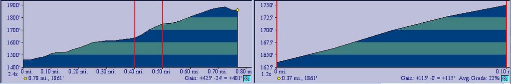
229 more feet (69.82 m) of climbing along Old Santa Cruz Highway lies the junction to Mountain Charlie Road. To my surprise, I actually found a bus stop here: service #76. Mountain Charlie is a rather steep and narrow road, rising 452 feet (137.8 m) in 0.77 miles (1.23 km) to meet Old Summit Road. It averages a grade of 12%, with memorable sections of 16% and 22%. Like Holy City, Mountain Charlie Road has an interesting history behind it.
 Summit Road going over Highway 17.
 Elevation 1827 ft (557 m): looking over Highway 17, the main highway between San Jose and Santa Cruz.
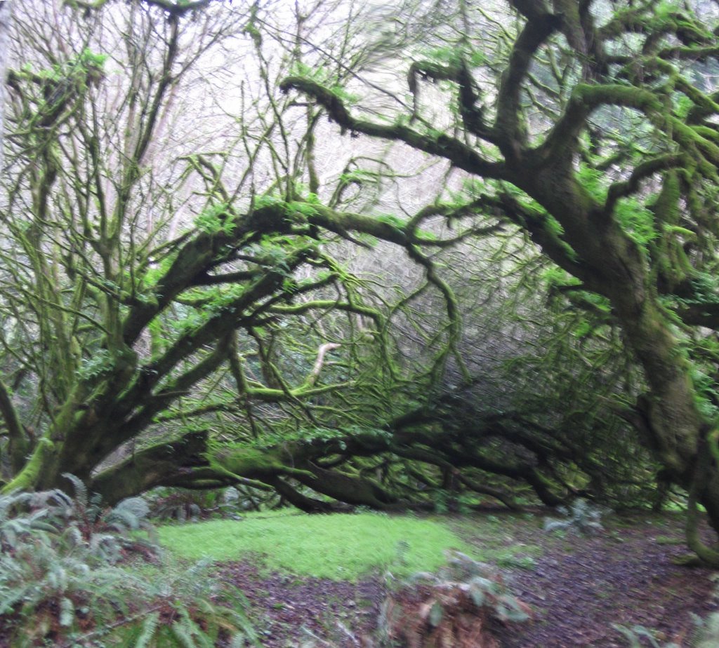
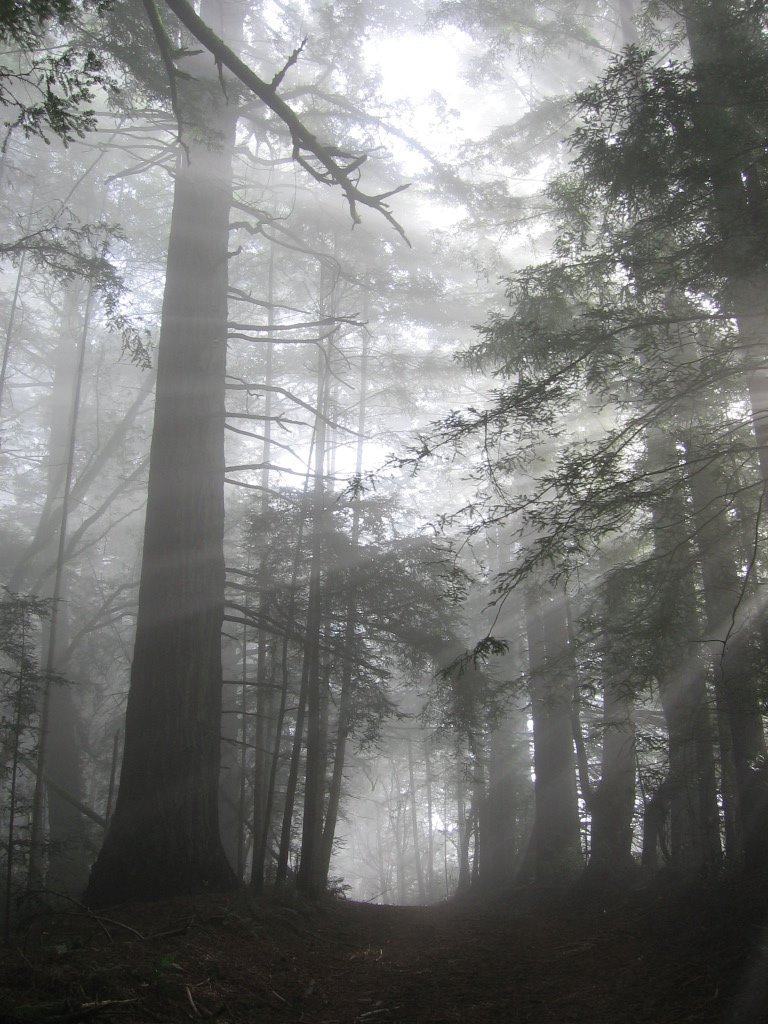
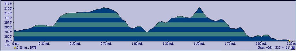
After Highway 17, with a brief section at a grade of 18%, Summit Road climbs a little sharply for half a mile (0.8 km), gaining 208 feet (63.41 m) before meeting Hutchinson Road. From here until Bear Creek Rd, Summit Road is like a "Get Out of Jail Free" card: for 2.23 miles (3.57 km), it only subjects you to a net gain of 261 feet (79.57 m) of climbing. Gee, one could do better than that walking around the streets of San Francisco. It is also very scenic, with large oak trees on either side forming a canopy over the road, creating a sort of a living, green tunnel effect.
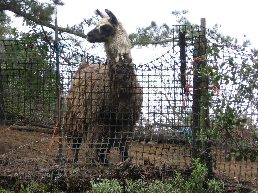 A Llama farm along the way. This fellow was trying really hard to reach the shrubs outside (notice the stretched netting). It looked hungry. I really felt sorry for it.
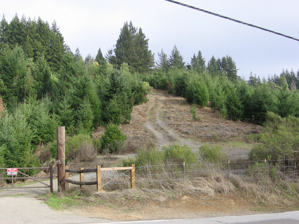 A
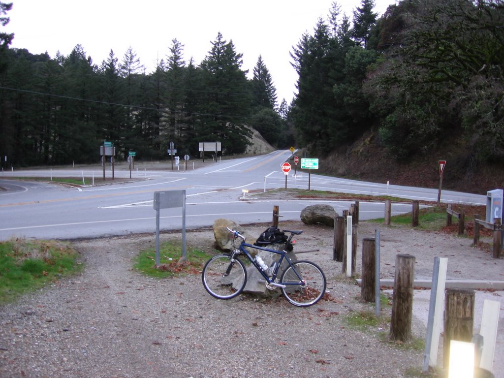
A 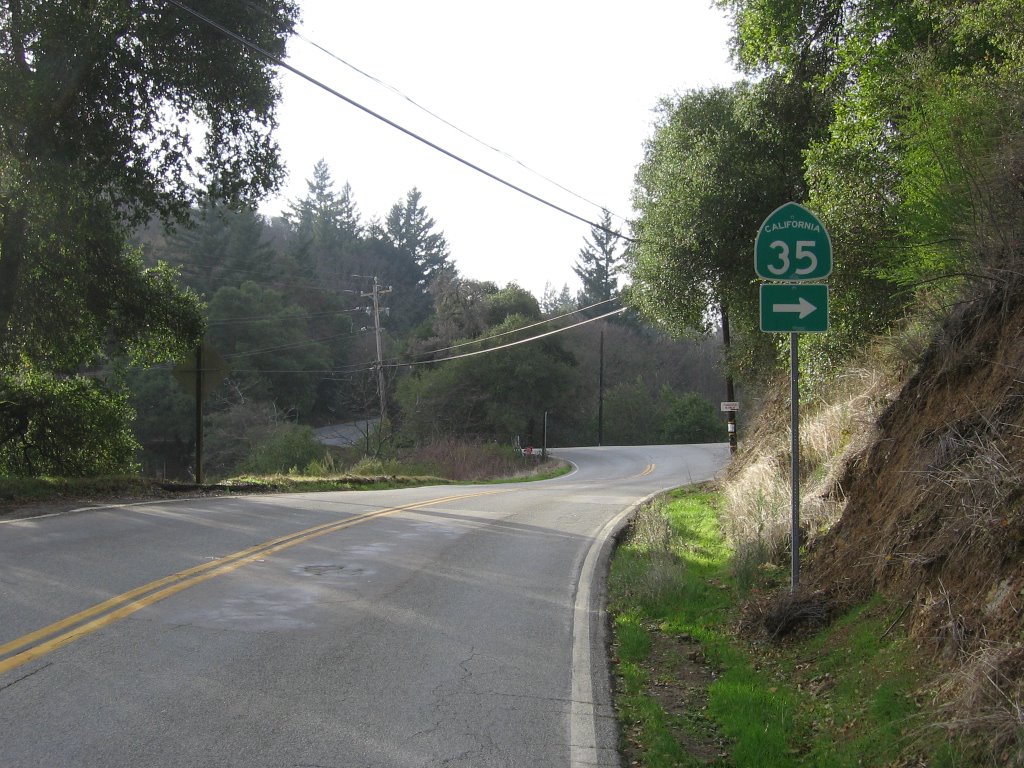 Mercifully, the end of Bear Creek Road, and the proper beginning (IMHO) of Skyline Boulevard / Highway 35.
 Skyline Boulevard / Highway 35: elevation 2145 feet (653.96 m). The road was very quiet and isolated for the first 4 miles (a welcome relief from Bear Creek Road).
 A trio of cyclists going in the opposite direction passed by me here (no doubt taking advantage of the curves and the downhill).
 Another Christmas Tree farm. Check out the little Christmas Trees in the foreground.
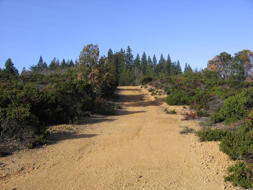
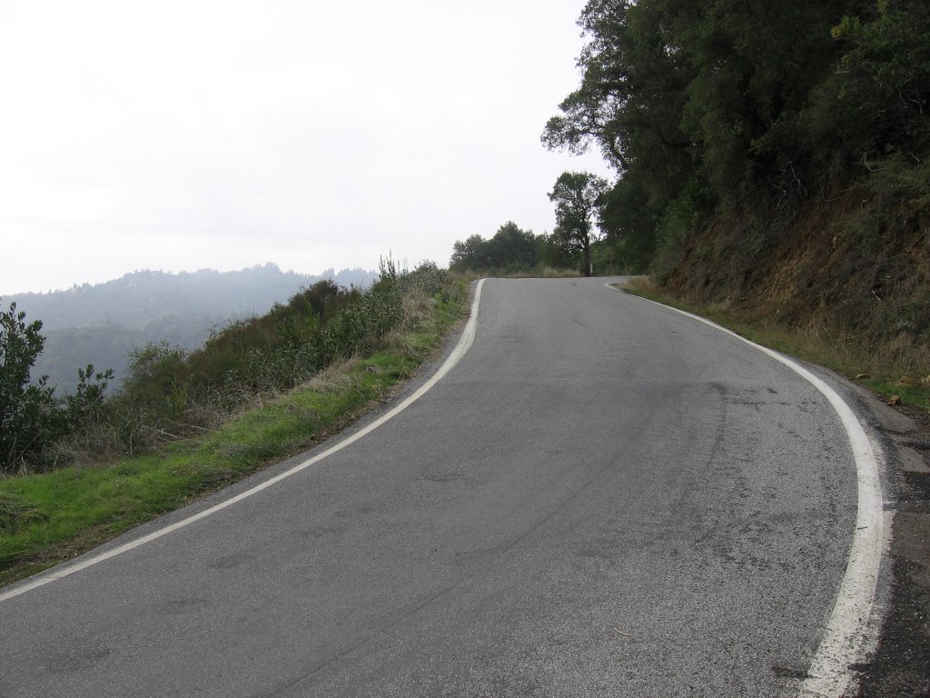 After the gentle climbs of the first 4 miles (6.4 km), Skyline Boulevard starts really climbing again.
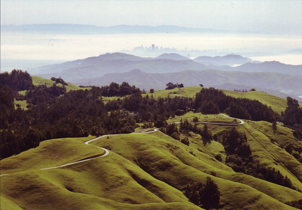
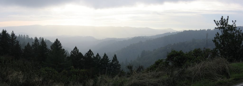 Elevation 2300 ft (701.22 m): looking west.
A long series of rollers lies ahead, where Skyline Boulevard gains another 700+ feet of elevation. Passed Black Road (a possible bail-out, but not a very good one. Read the description) somewhere along here.
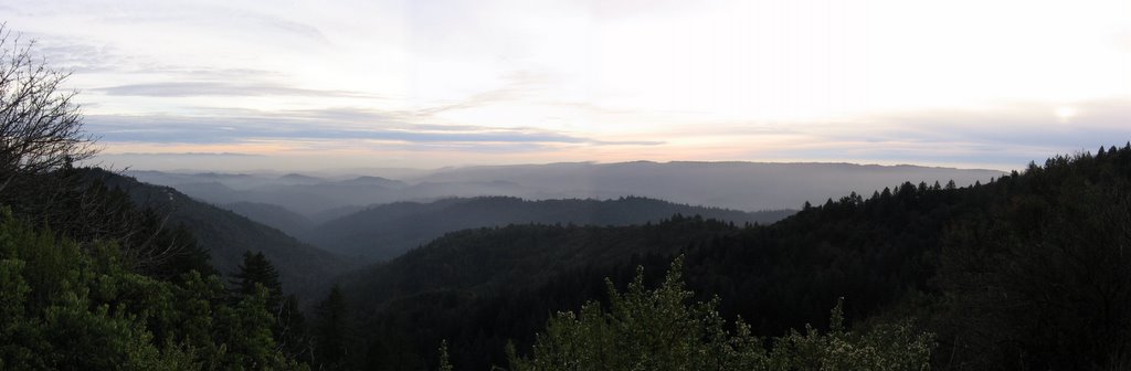 Elevation 3079 ft (938.72 m): sunset on the top of Skyline Boulevard.
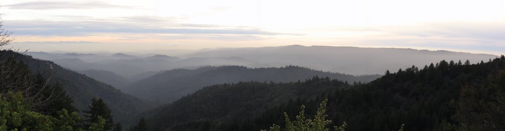 A closer look.
After this, until the Highway 9 junction, northbound Skyline Boulevard offers mostly long sweeping downhills, interspersed with a few gravity climbs (i.e. where you sprint on the downhill so that momentum slingshots you through most of the uphill that immediately follows).
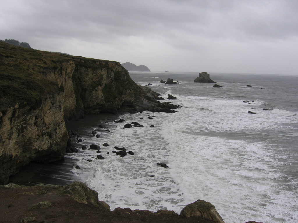
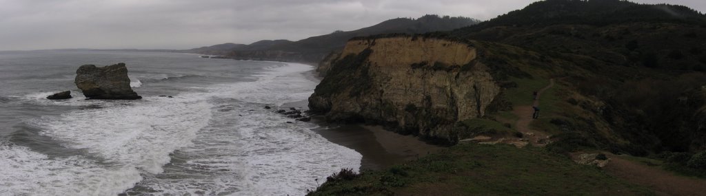
 Elevation 2604 ft (793.9 m): Highway 9 junction, west (left) leads to Santa Cruz, east (right) leads to Saratoga. As it was approaching twilight, the temperature was now 45 F (7.2 C) and dropping. Time to switch to full-fingered gloves. A gentlemen seeking directions to Santa Cruz delayed me for a good 15 minutes, so it might have been even colder when I finally started on the return leg of my journey.
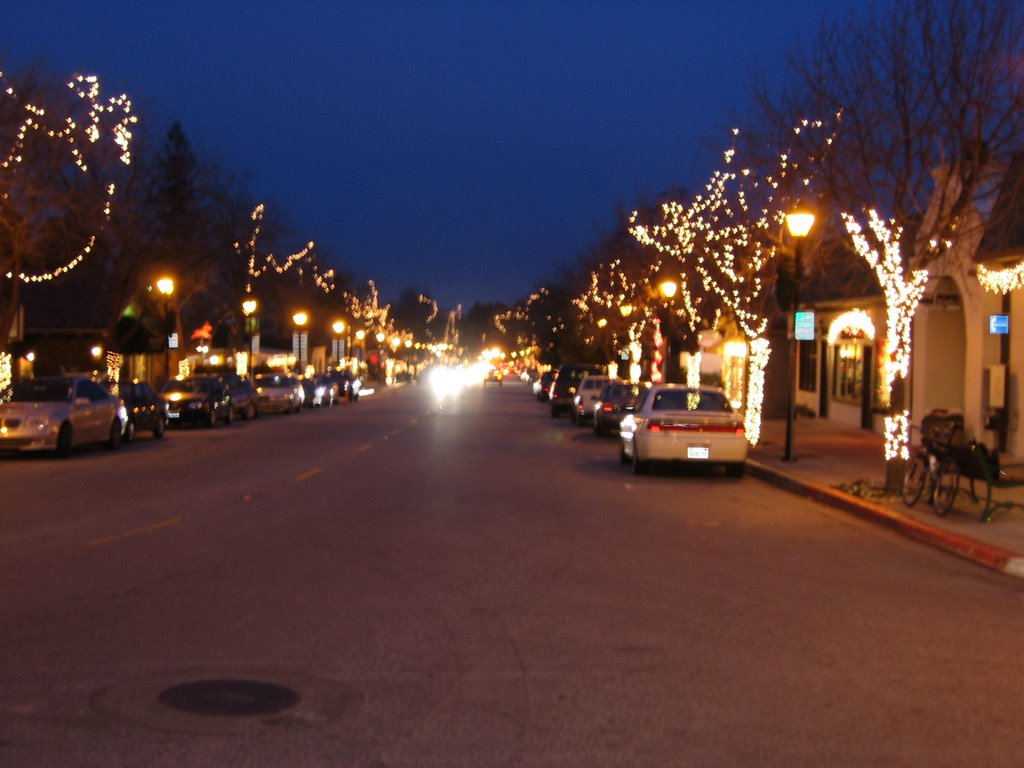 Elevation 471 ft (143.6 m): Highway 9 runs through downtown Saratoga. Was experiencing mild hypothermia on the long downhill--dropped 2133 ft (650.3 m) in 7.51 miles (12 km)--and nearly lost my balance a couple of times (generally not a good idea when coasting down at 40+ mph / 64+ km/h). Next time I will bear with the additional weight and bulk, and bring my thermal fleece jersey along. Murphy almost ensures it is the one time that you don't bring it, you will need it.
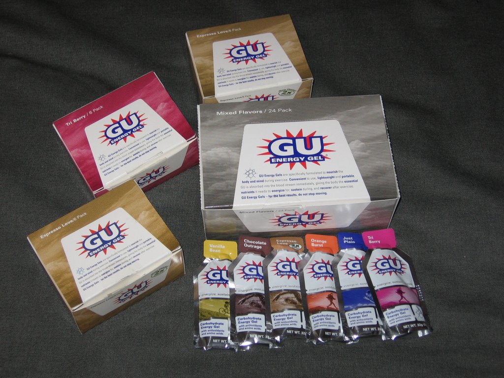 Elevation 106 ft (32.32 m): back at my apartment, with the heater on full blast. I swear by this stuff. Each packet contains 100 calories. 20% from simple carbohydrates, to give you that instant boost. 80% from complex carbohydrates, taking over when the 20% is burnt and tapering off. Cliff Shot energy gels, with a 30% simple / 70% complex also works wonders. For some reason, Hammer Gel just doesn't work for me. (No, I don't work for GU).
Looking back, perhaps my hypothermia was exacerbated by having skipped lunch. Besides a breakfast of coffee and toast, all I had the entire day was 7 packets of energy gels (7 x 100 calories). Darn, I probably burnt more than that in an hour. I should be kinder to my body. Yes, that should be my new year's resolution.
Epilogue:
Total distance: cyclo-computer 49.2 miles (78.72 km) / GPS 48.63 miles (77.81 km) / TOPO! 48.60 miles (77.76 km).
Total elevation climbed: Altimeter 4810 ft (1446.4 m) / GPS + TOPO! 5884 ft (1793.9 m).
Temperature range: 43 F to 53 F (7.2 C to 11.7 C).
Fluids consumed: 0.3 liter of CytoMax.
The discrepancy (1074 ft) in total elevation climbed between the altimeter readings (4810 ft) and TOPO! topological data (5884 ft) might be explained by the change in temperature (and hence barometric pressure) between the start (53 F) and the end of the ride (43 F).
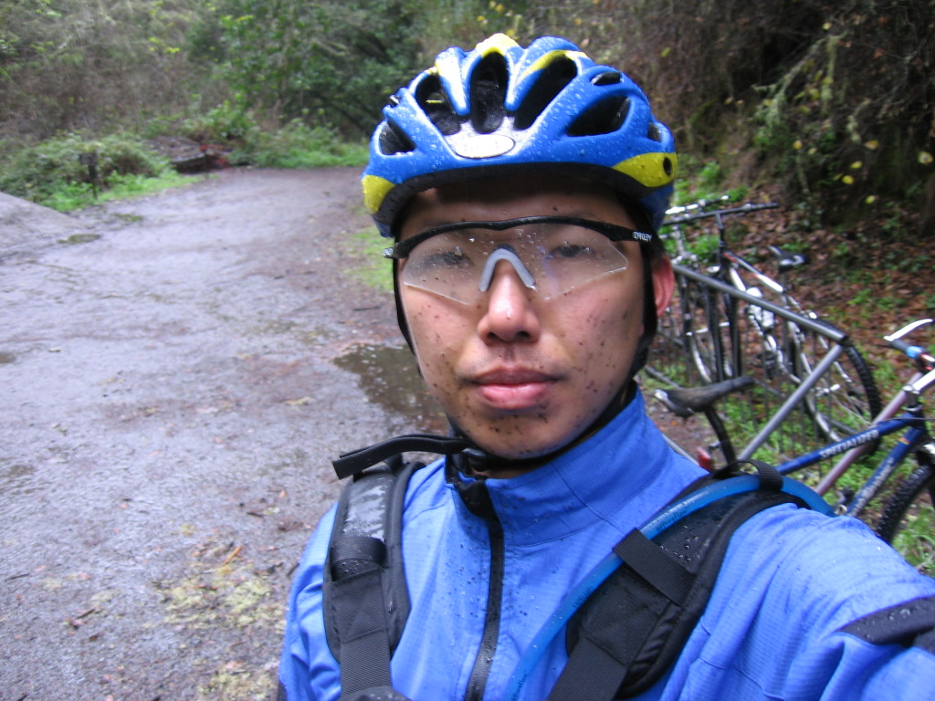
Ride conducted solo.


