Climbing Mount Hamilton from the east is considered a tougher challenge. Having successfully surmounted it from the west, I felt I was ready to attempt this more difficult approach. And so, after a hearty breakfast of 1 pound of hash browns, 3 scrambled eggs, two sausage patties, 5 strips of thick-sliced bacon, and a large mug of strong coffee at 3:30 AM, I was off to catch the 4:35 AM northbound CalTrain towards San Francisco with my bike.
 Map of today's ride. 2999 track points (blue diamonds) laid by the GPS unit. "Start" denotes the termination of the Millbrae-Dublin/Pleasanton BART line, and the beginning of the ride. "End" denotes the destination of my ride at my apartment in Santa Clara. The red and blue lines mark my route. (For the pedants, the red line runs throughout the route. The "blue line" is actually made out of 2999 blue diamonds, each representing an individual track point laid down by the GPS unit.)
 TOPO!'s elevation profile of the route. Height in feet, and distance in miles (1 mile = 1.6 kilometers).
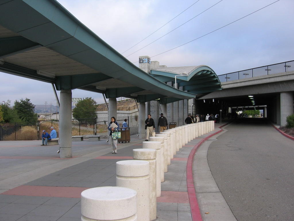 Got off CalTrain at Millbrae, and transferred to the 5:46 AM BART to Dublin / Pleasanton. Exiting the BART station in Pleasanton at 7:37 AM, the temperature is a chilly 52 F (11 C). I was grateful for my vest, windbreaker, arm and leg warmers.
 5 miles (8 km) later, leaving the city of Pleasanton and getting on Stanley Boulevard, the connecting non-freeway corridor to Livermore. Dealing with the morning commute traffic isn't fun. Many drivers are in a hurry. Earlier, on Santa Rita Road, an impatient driver behind the wheel of a Ford F-250 refused to yield to my left-turn gesture and nearly ran me over.
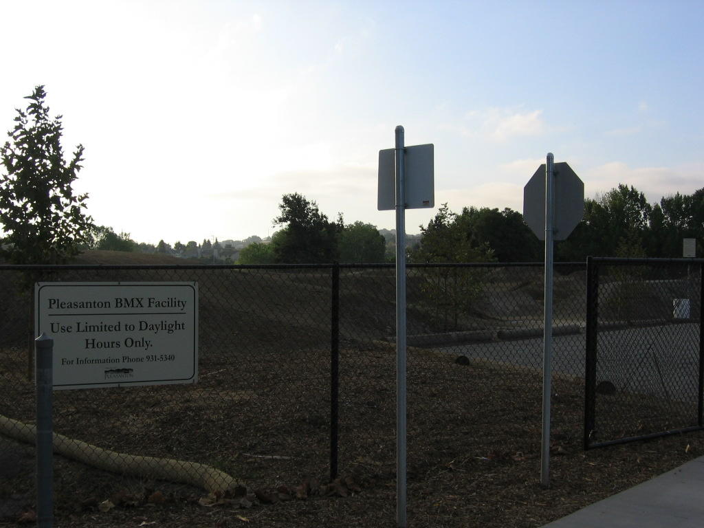 Stanley Boulevard turns into East Pleasanton. Sunrise over a BMX Trials Park beside the road.
  Interestingly, the ramps and jumps are made of dirt. I wonder what happens when it rains in winter.
 13 miles (20.8 km) so far. South Livermore Avenue. I like the vineyard's stone pillars contrasting nicely against the wooden beams. Stained or natural wood would look better than white though.
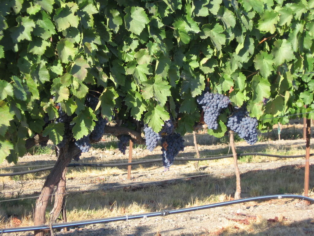 Vines heavy with grapes. Bacchus will be pleased.
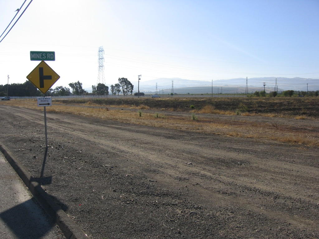 14 miles. The beginning of Mines Road, an isolated and rural road eventually leading to the east face of Mount Hamilton.
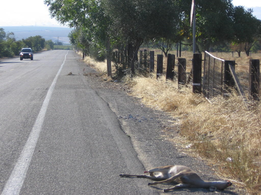 Venison. One of her rear legs broke clean off the joint.
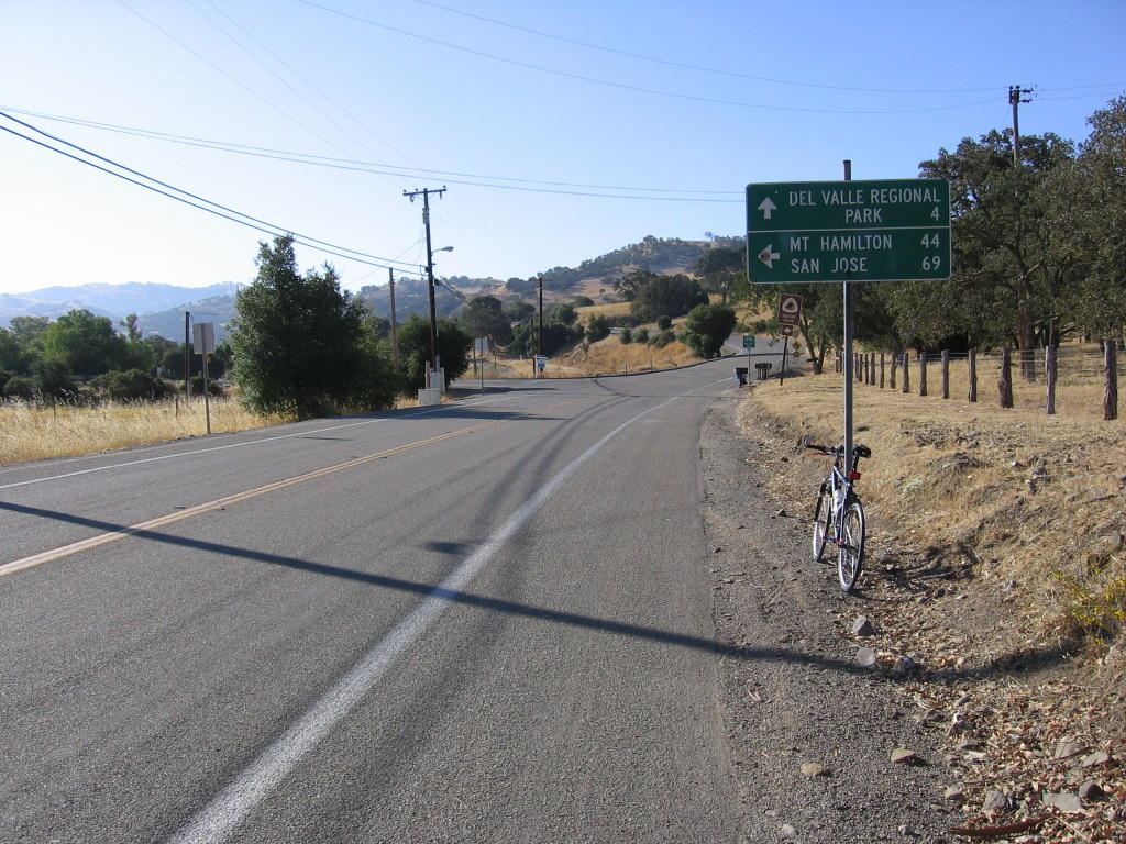 7 miles along Mines Road. Junction to Del Valle Regional Park. Some photos of the park.
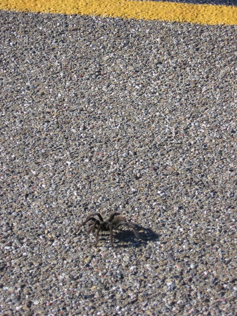 There are a lot of these large, fat, hairy tarantulas wandering about on Mines Road and San Antonio Valley Road.
In late summer and early autumn (September and October in the northern hemisphere), the males will leave their hiding places and walk about, hoping to encounter the hiding place of a female with which to mate. They are willing to cross roads and trails in this quest, and that is when they are most likely to be observed. (Source).
I had to swerve or execute parallel bunny hops at least 4 times to avoid running over them. Don't get me wrong, I have no problem squishing them, but the wheel might pick them up and fling them in my face or on to my crotch. And, in its death throes, the critter might sink its venom-filled fangs up my nose, in my face, or my crotch...
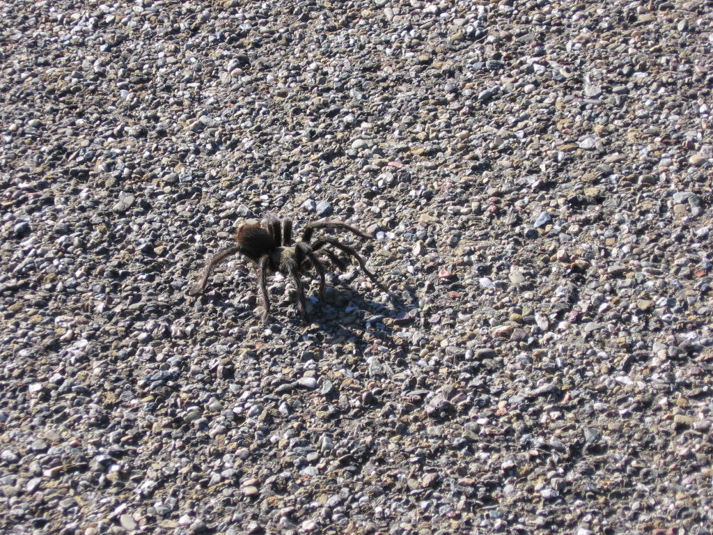 A closer look at these large, fat, hairy spiders.
 When the mature male encounters the burrow of a female, he will draw the female out and signal his intentions to mate by vibrating his body and tapping his front legs. If the female is receptive to mating, she will vibrate and tap her legs also. After mating, the male must get away quickly, or it is possible that he will be eaten. A female tarantula who is unreceptive to mating may also eat the male if he attempts to mate.
Sounds like the bar / club scene to me.
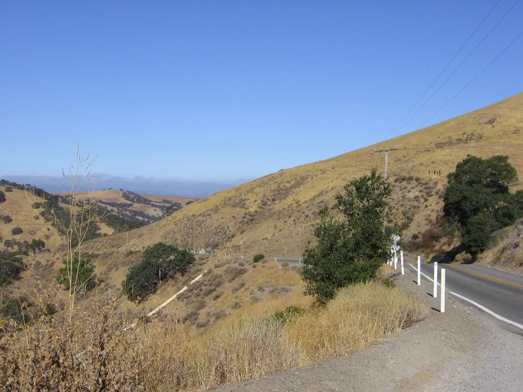 Looking back. Mines Road involves some climbing. Elevation is at 720 ft (219.5 m) so far.
 Looking ahead. More climbing.
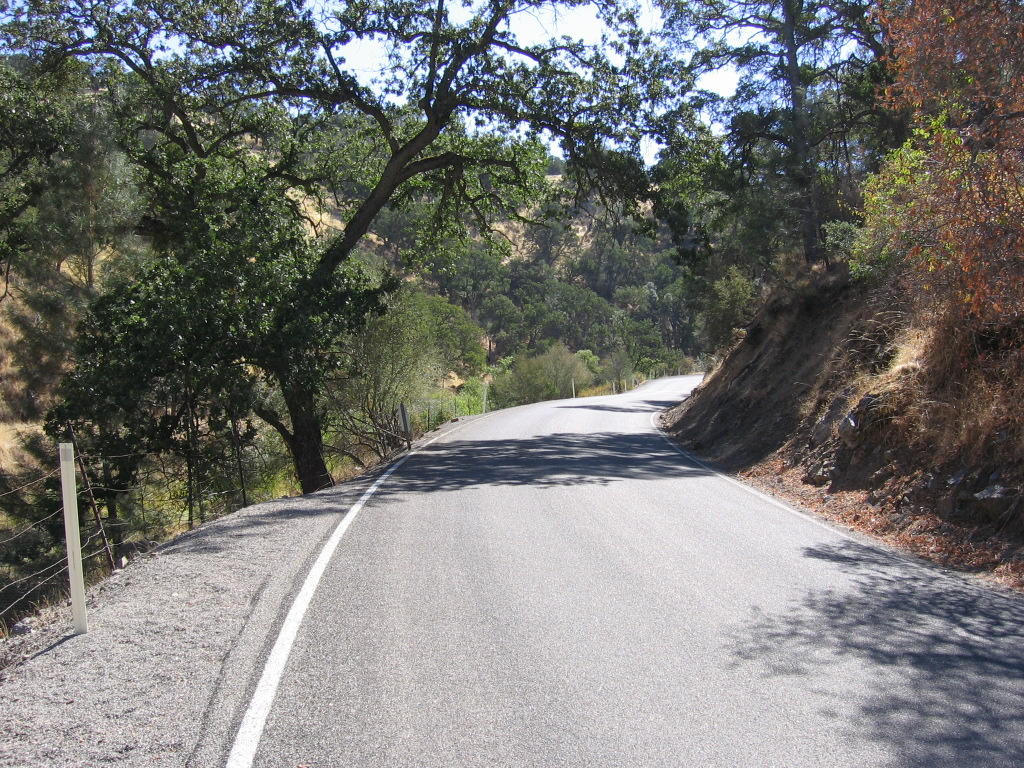 Mines Road winds through many valleys and canyons. Temperature has climbed to 78 F (25.6 C). The windbreaker, vest, arm and leg warmers have long been since shed. Oh, did I mention that there is no coverage for cellular phones in the canyons? Cell phones are useless here. Ah, heaven!
In case anyone is unacquainted with my feelings toward cell phones, these lyrics by Nick Cave express them rather succintly:
The streets groan with little Caesars, Napoleons and cunts,
With their building blocks and their tiny plastic phones,
Counting on their fingers, with crumbs down their fronts
 Mines Road is 31 miles (49.6 km) long.
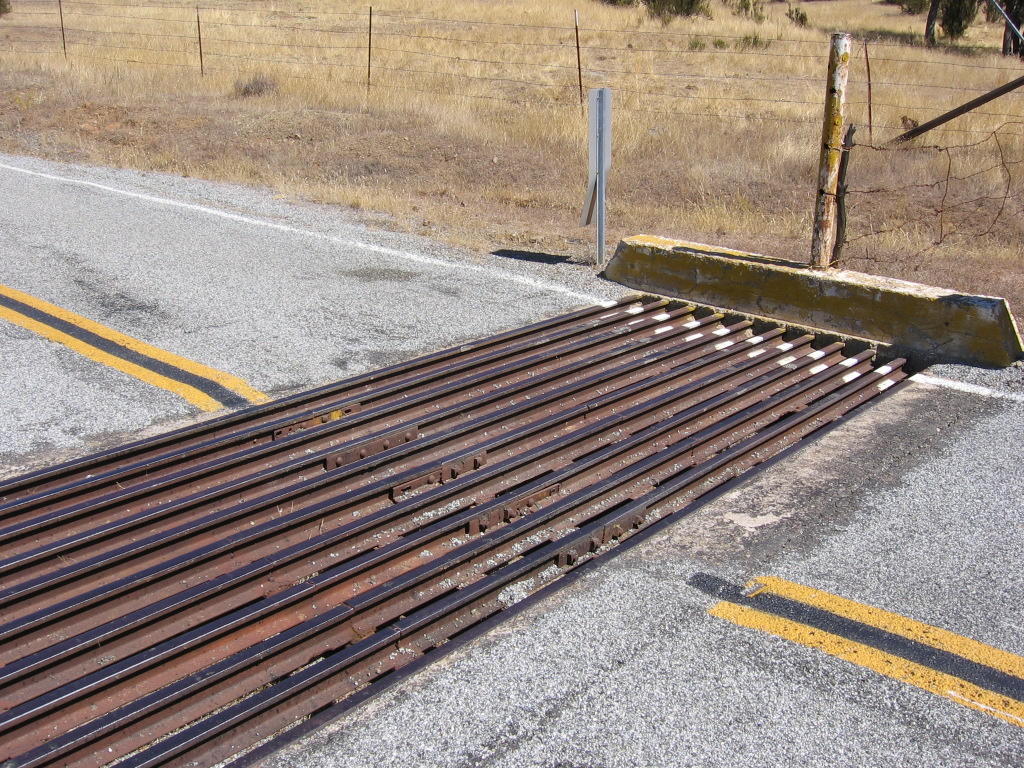 Cattle guards. The last time I encountered them, I was tooling around the south island of New Zealand in a rental Subaru WRX. After going through a couple of these, I decided it is better for me to bunny hop over them. Apparently, cattle get so "programmed" by the initial (negative) experience of attempting to walk over the cattle guards that a few lines of paint spaced closely together on the asphalt often has the same deterring effect.
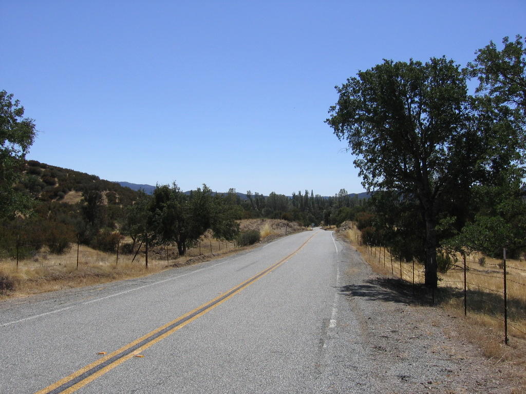 The last mile of Mines Road: a nice, gentle, downhill leading to...
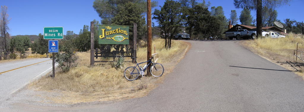 The Junction, a bar / restaurant, the ONLY place to purchase food and beverage in this area.
 A closer look. The crowd frequenting this establishment mainly consist of ranchers and farmhands with cowboy hats, checked shirts, denim jeans, belts with huge buckles, and leather boots, with the occasional weekend Harley crowd, so you can imagine what it looked like when I walked in clad in skin-tight spandex, wearing a bicycle helmet with Oakley shades, and going "clack!" "clack" "clack!" around with my cleated cycling shoes.
I swear, it was like in the movies or something. All conversation ceased as everyone in there turned to stare at me. I guess I should have said something like, "I come in peace," or, "Take me to your leader." (Yeah, and get shot in the process...)
To be fair, once the initial shock wore off, they were the very epitome of hospitality.
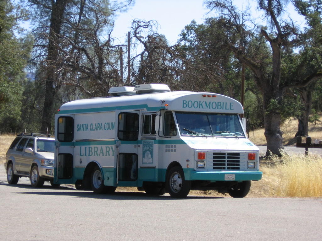 What I found in the parking lot. There's a school in the area. In fact, a couple of schoolteachers were having lunch at the table next to mine.
 Leaving The Junction.
 San Antonio Valley Road, eastbound towards the summit of Mount Hamilton. 19 miles (30.4 km) worth of it.
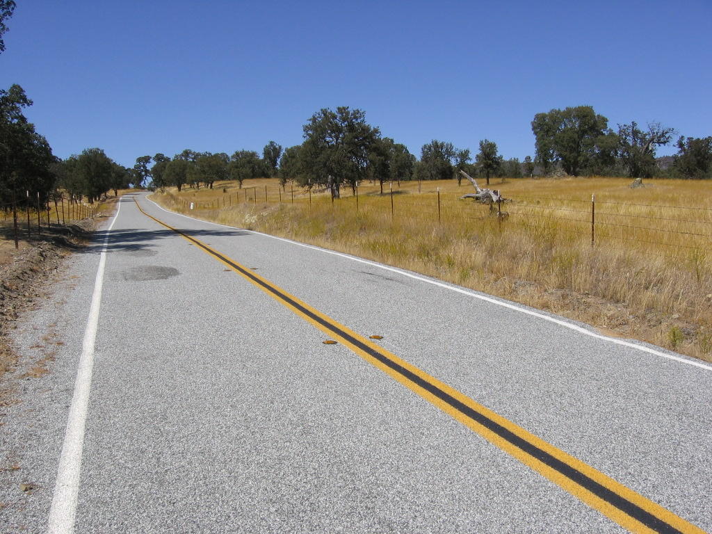 Managed to interrupt a downhill to take a picture this time. (It is not easy, believe me. It's so tempting just to let the brakes go, have a blast, and cool wind in my face instead). San Antonio Valley Road deceptively begins with a long, gentle, sweeping downhill. Here, I am looking back, westwards towards The Junction.
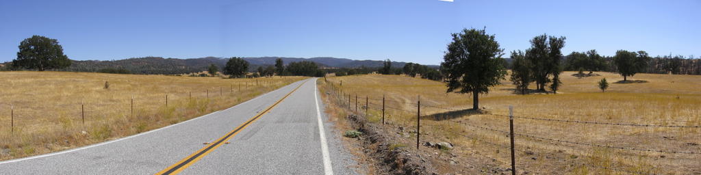 Looking ahead: the rest of the downhill.
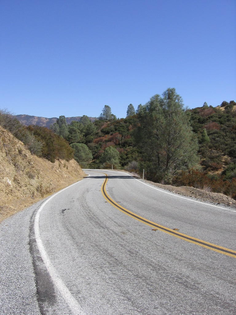 Looking back down and taking a break along one of San Antonio Valley Road's many climbs. For those who prefer a wider view.
 What awaits me after the break. A wider view.
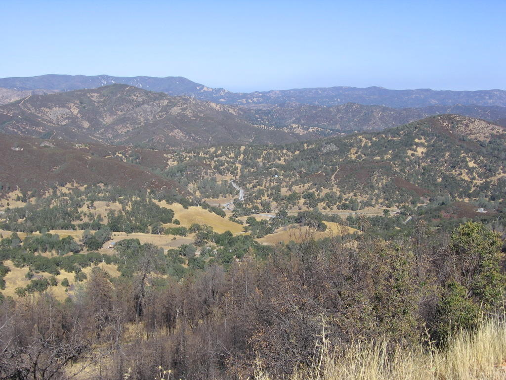 After 13 miles, San Antonio Valley Road begins a relentless climb of 2300 ft in 6 miles to the summit of Mount Hamilton. I am at an altitude of 3025 feet and looking eastwards at the one-lane bridge (elevation 1900 ft) I crossed earlier, as well as the ridges and valleys I cycled up and down to get here.
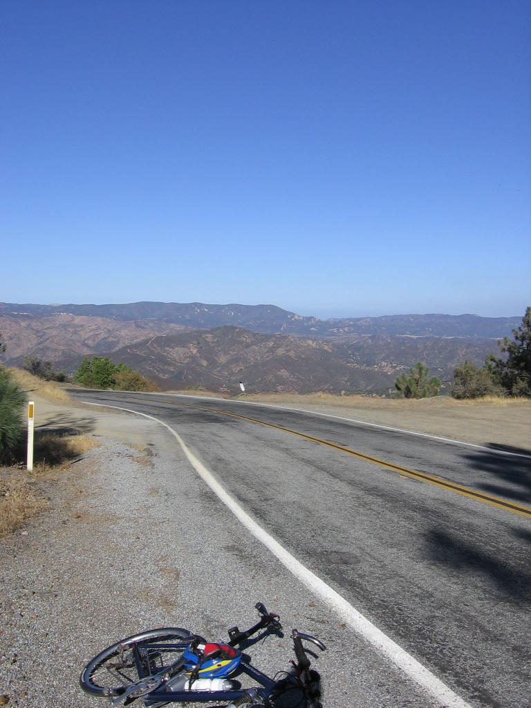 Altitude 3530 ft (1076 m) and 2.5 miles (4 km) from the summit: bonked here. I guess I should have eaten a cheeseburger at The Junction instead of a 220 calorie Cliff Bar.
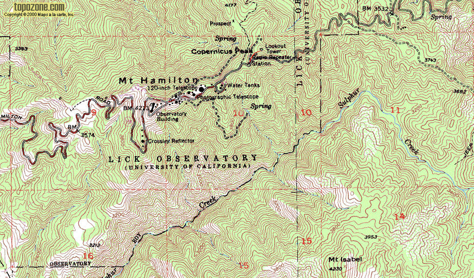
 A truly sweet sight: one of the observatory domes on the summit. Closed to the public, the road on the right leads to a trail to Copernicus Peak (4,360 ft / 1,329 m), the true highest point in the Bay Area. A map of the summit area. A view from Copernicus Peak.
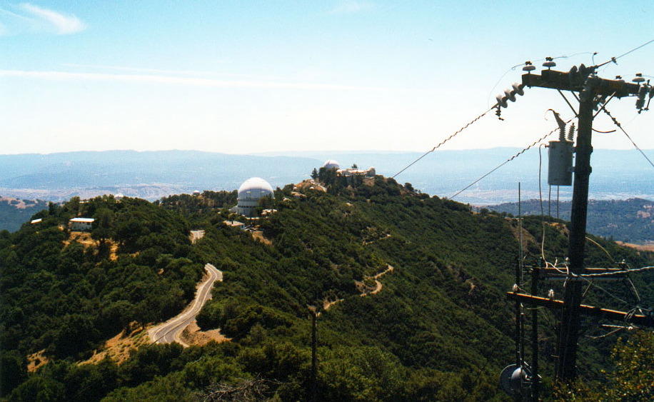
 Lick Observatory, elevation 4213 ft (1284.5 m). Chatted with some of the staff at the observatory, and they expressed surprise at my chutzpah in descending Mount Hamilton Road alone, and at night, on a bicycle with a barely-adequate headlight, the last time. Apparently, there has been recurring incidences of mountain lions breaking into kitchens to get at food. I was reminded that if one jumped me that night, I would not have survived. Hmm... nice to know. Maybe I can bribe it with a PowerBar or something. Here, Kitty, Kitty, Kitty! Who's a good kitty?
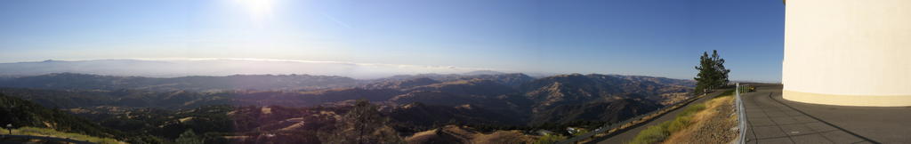 Panoramic view from the summit of Mount Hamilton. Mount Shasta (14,179 ft / 4322 m) and Mount Diablo (3849 ft / 1173.5 m) are visible.
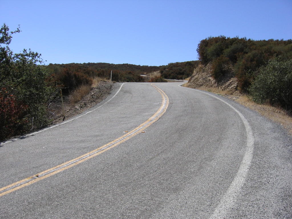
 Next: the descent via 19 miles (30.4 km) of Mount Hamilton Road. You can count 7 levels of the same road in the picture if you look carefully.
 The last time I took this picture, it was in the dark.
 Ditto.
 1 mile down. 18 more miles of these to go.
 From Joseph D. Grant Park (elevation 1600 ft), Mount Hamilton golden in the sunset. The fence wasn't broken the last time I was here.
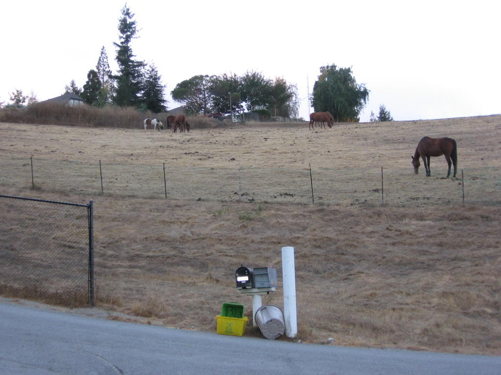 Cleared the two valley climbs (1.05 mile 226 ft and 1.91 mile 329 ft), it's a freewheeling descent all the way down the mountain from here. Took this for Spring. The mare on the right looked rather muscular.
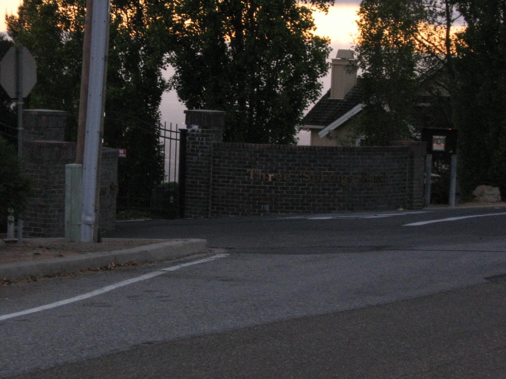
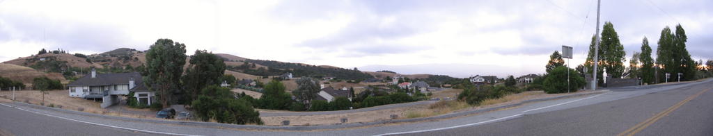 Three Springs Ranch: a gated community in the "built-up area" of Mount Hamilton. The houses are still too close together, IMHO. 32 homes in 75 acres seem rather crowded. A mile or two will do nicely. As the picture evinces, the houses are rather spacious, with 4 bedrooms, 4 baths, 3 fireplaces, a large kitchen, large family room (with a pool table), large formal living room, dining room and an outdoor swimming pool. The houses average 3600 sq. ft. The single entrance and exit to the community trouble me though.
 Leaving Mount Hamilton Road and getting on Alum Rock Avenue. The road runs 3 miles (4.8 km) into San Jose. From here, it is under 6 miles (9.6 km) to my apartment. There was nothing noteworthy about riding through the downtown San Jose, with its clubs and bars, on a Friday night.
  Domus dulcis domus. A grateful sight, the left turn to my apartment at the end of a long ride.
Epilogue:
Total distance: Cyclo-computer 89.1 miles (142.6 km) / GPS 86.3 miles (138 km) / TOPO! 88.76 miles (142 km).
Total elevation climbed: Altimeter 7480 ft (2280.5 m) / GPS + TOPO! 7973 ft (2430.8 m).
Temperature range: 52 F to 78 F (11 C to 25.6 C).
Fluids consumed: 10 liters.
Ride conducted solo.

No comments:
Post a Comment